Find all summits in the Front Range
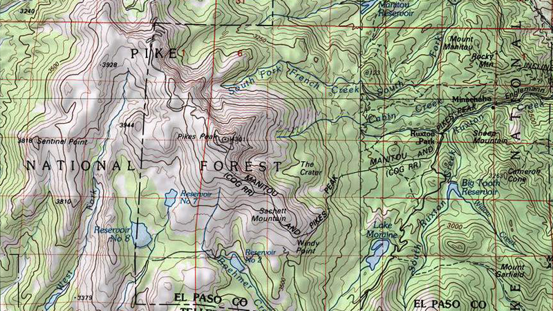
Maps of the Pikes Peak Region:

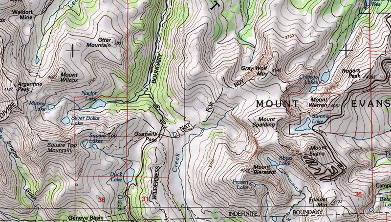
Map of the Mt. Evans region:

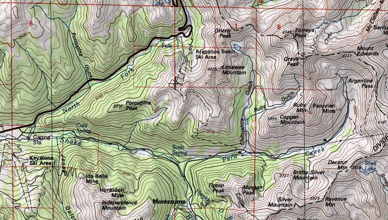
Map of the Grays & Torreys region:


Pikes Peak at sunset - photo by Matt Payne
The Front Range of Colorado is perhaps the most well-known mountain range in Colorado due to its proximity to three major metropolitan areas: Denver, Colorado Springs, and Ft. Collins. The Front Range is comprised of several sub-ranges, including Rampart Range, Kenosha Mountains, Platte River Mountains, Tarryall Mountains, Puma Hills, Vasquez Mountains, Laramie Mountains, Rocky Mountain National Park, Never Summer Mountains, Medicine Bow Mountains, Mummy Range, Williams Fork Mountains, and the Indian Peaks. Additionally, the Front Range covers roughly 7,000 square miles and spans more than 175 miles North-to-South, making it Colorado's longest mountain range.
Find all summits in the Front Range
Maps of the Pikes Peak Region:

Map of the Mt. Evans region:

Map of the Grays & Torreys region:


Pikes Peak at sunset - photo by Matt Payne