Displaying items by tag: Mummy Range
Longs Peak and Mount Meeker via "The Loft"
I have to admit, when I put together my climbing schedule for this summer, one of the mountains I was least looking forward to climbing was Longs Peak. Renowned for a very long approach and a trail full of people, Longs Peak is the closest 14er to Denver, Ft. Collins, Greeley and Boulder. Longs can be seen from the I-25 corridor running from south Denver, all the way north to the Wyoming border. It is an impressive and memorable looking mountain, with it's east face holding one of the most popular and famous alpine climbing routes, The Diamond.
To start off, here is a break-down of relevant numbers from this memorable trip:
Peaks summited:
Longs Peak: 14,255 ft. (ranked 15th in Colorado)
Mount Meeker: 13,911 ft. (ranked 68th in Colorado)
Total elevation gain: 6,385 ft.
Total distance hiked: 16.52 miles
Total time hiking: Approx. 12.5 hours
Total wildlife sightings: 1 (Elk Herd)
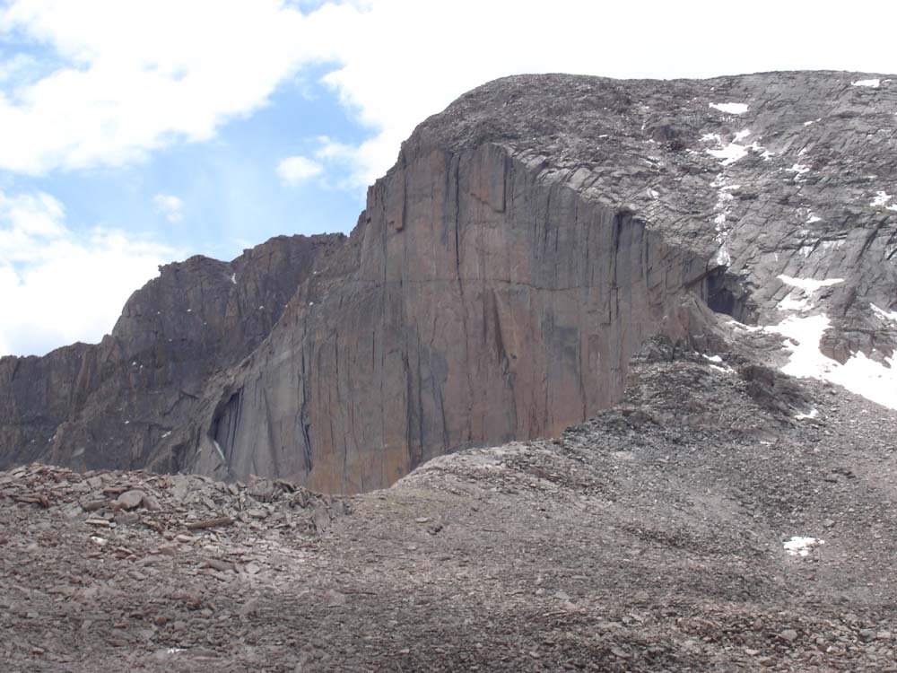
The Diamond.
For this particular trip, I invited my dad, Ray Payne, to join me. He had climbed Longs before, but had previously missed out on summiting Mount Meeker, one of Colorado's highest 100 summits. Ray was eager to join me so we made plans to stay the night in a small hotel near the trail-head for Friday night. Our reservations were made months in advance by my mom, since she knew the area was quite popular (thanks mom). Ray and I chose "The Loft" route since it is less popular and more challenging than the standard "Keyhole" route, and because it grants instant access to Mount Meeker. This turned out to be a great choice.
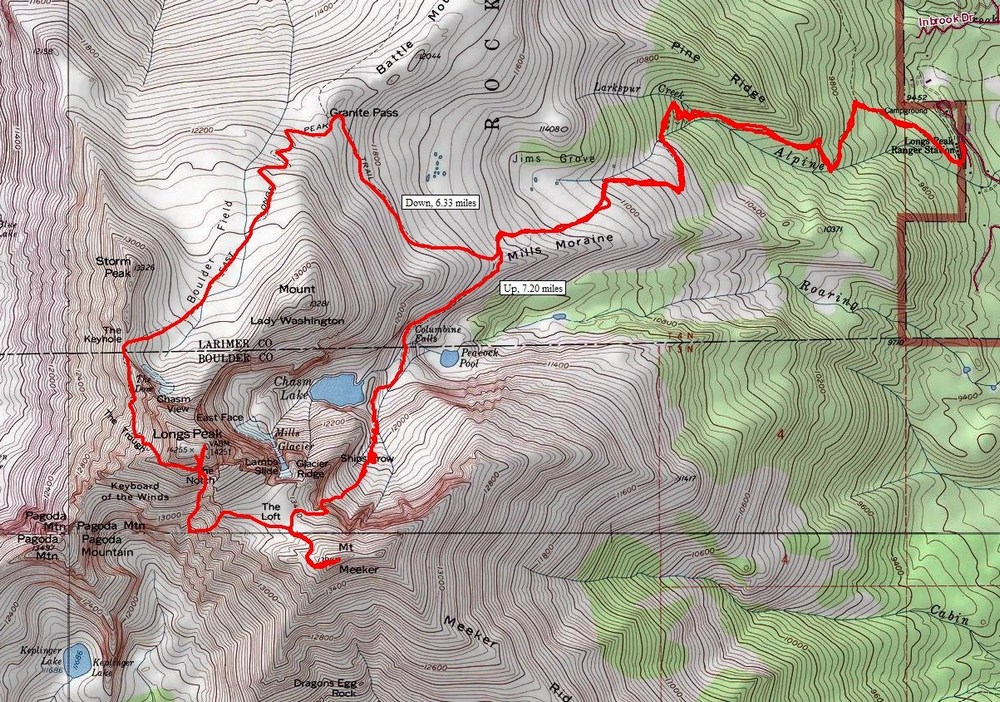
A topographical map showing our route
Ray and I drove to the Meeker Park Lodge from Colorado Springs after work on Friday evening. Ray and I set our alarm for 2:00 AM and went to bed as early as we could. The Lodge itself is a quaint, rather rustic building with a "touristy" feel. The room itself was pretty basic and lacked many amenities; however, this was perfect for our needs. We needed a bed close to the trailhead. Mission accomplished.
The alarm went off all too early at 2 AM and we quickly woke up and ate some quick breakfast. We departed for the trailhead, a mere 3 minute drive from the Lodge. We began hiking at 3:11 AM. The parking lot was completely full already, much to my surprise. There were many groups assembled, preparing for the hike up Longs. I was not very happy about the amount of people; however, this turned out to not matter much shortly into the hike.
My legs felt amazing, and I blazed the trail at a very impressive pace. Ray, a 60-year-old hiking veteran, kept up the pace with me, requiring very few breaks on the way up. We passed several groups of people on our way up to the turn-off for Chasm Lake, which took only one and a half hours to reach. I remember stopping a few times and noticing that my breathing was completely normal, as if I was just walking down the street. I guess the week I spent just a few days prior in the Weminuche Wilderness Area had paid dividends to my altitude acclimation and leg endurance.
The turn-off for Chasm Lake is easy enough to spot in the dark. We went south and everyone else went north towards the Keyhole. Freedom at last.
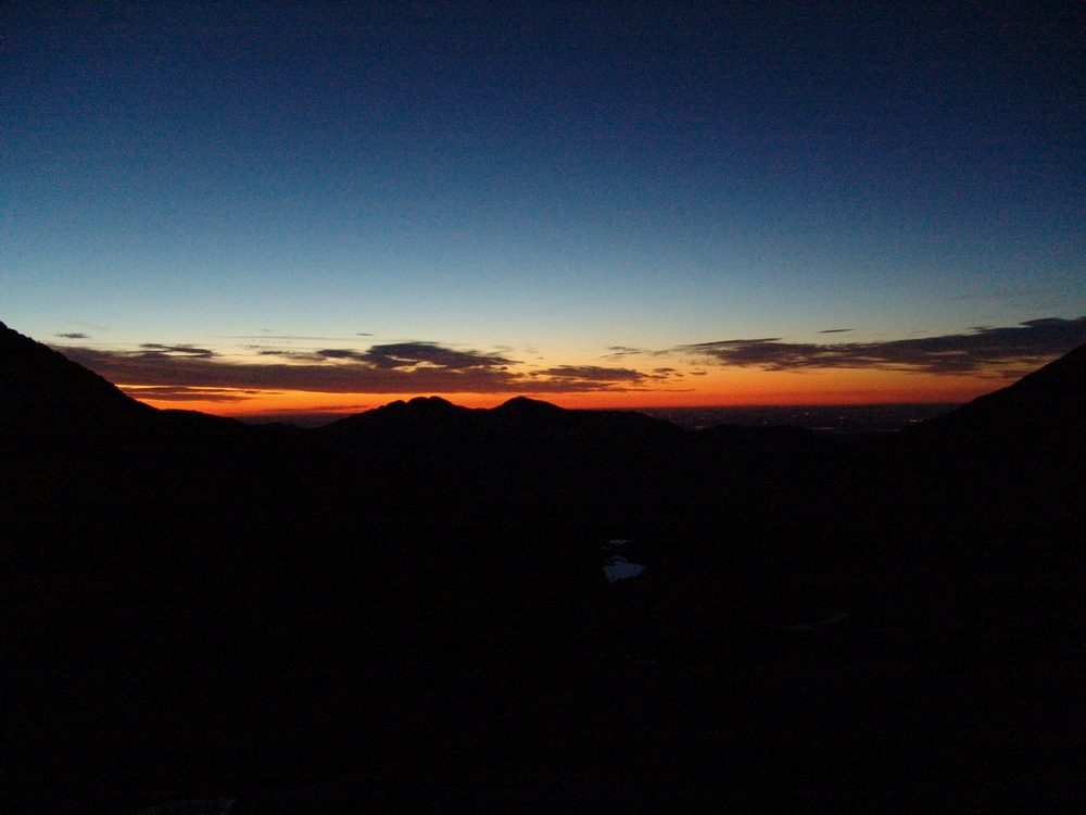
We reached the base of the "Ships Prow," and got to experience one of the finest sunrises I've seen. The photos I took do not do it justice at all.
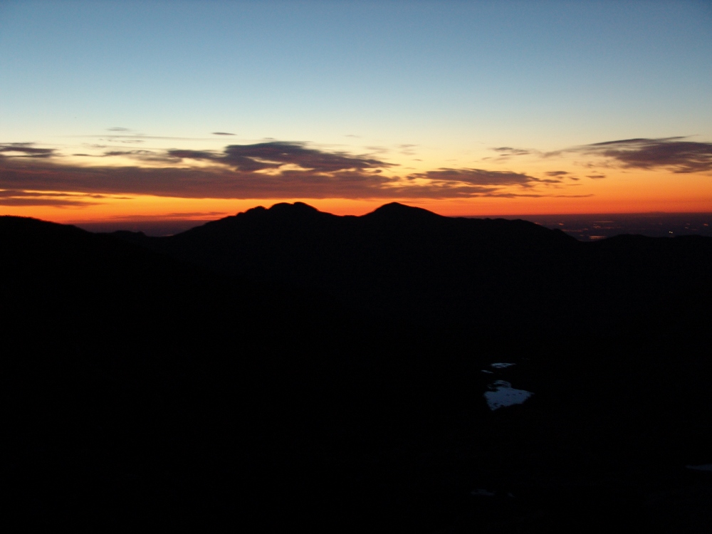
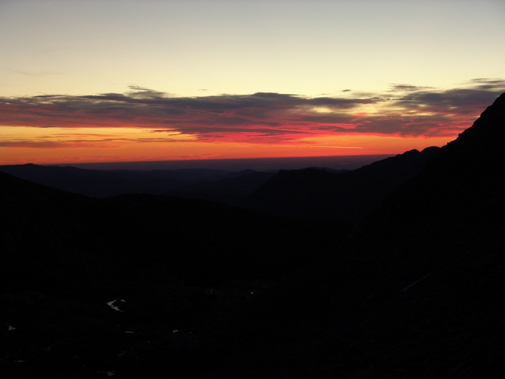
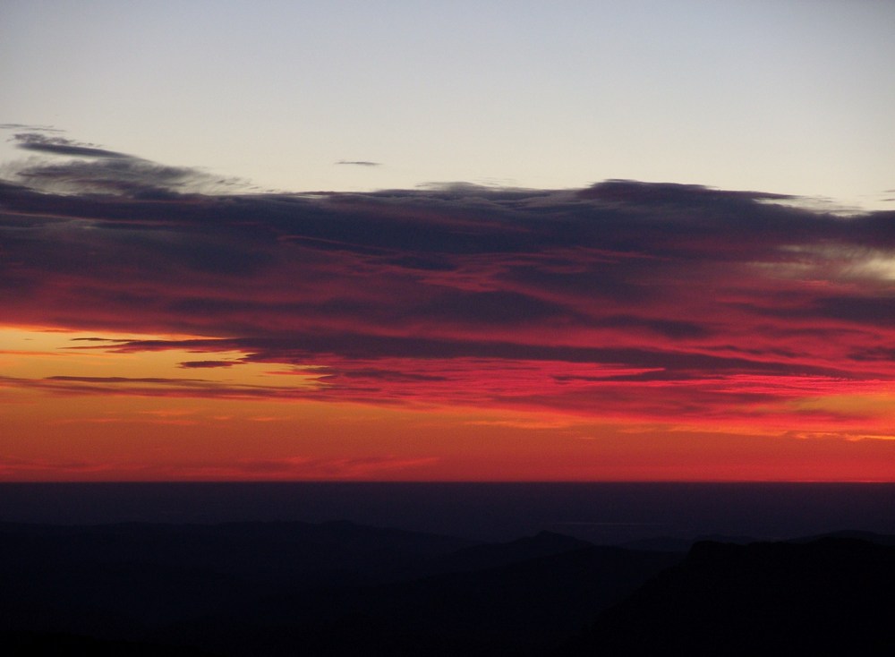
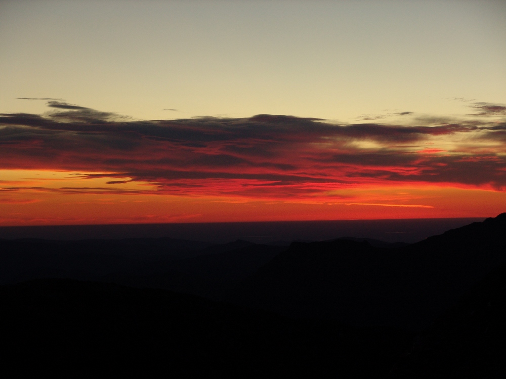
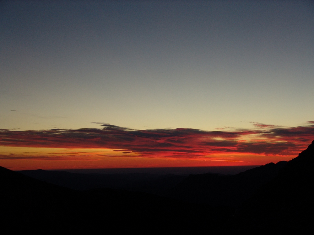
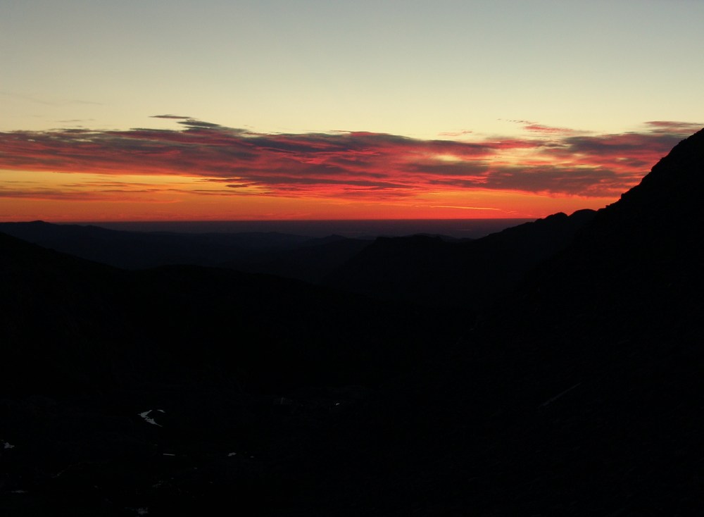
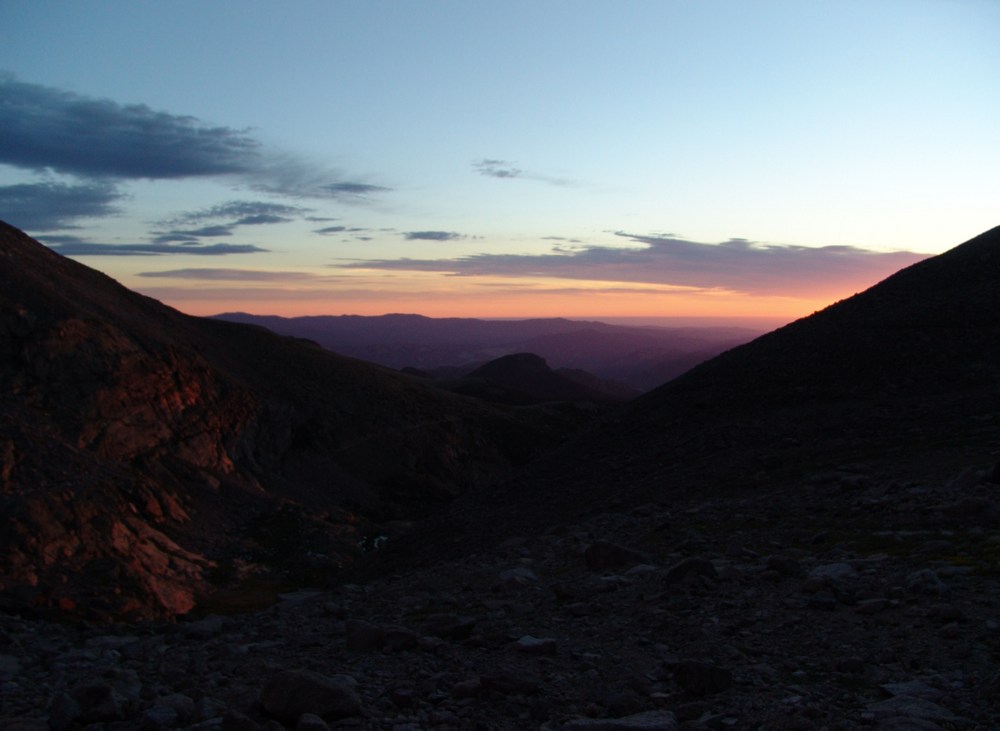
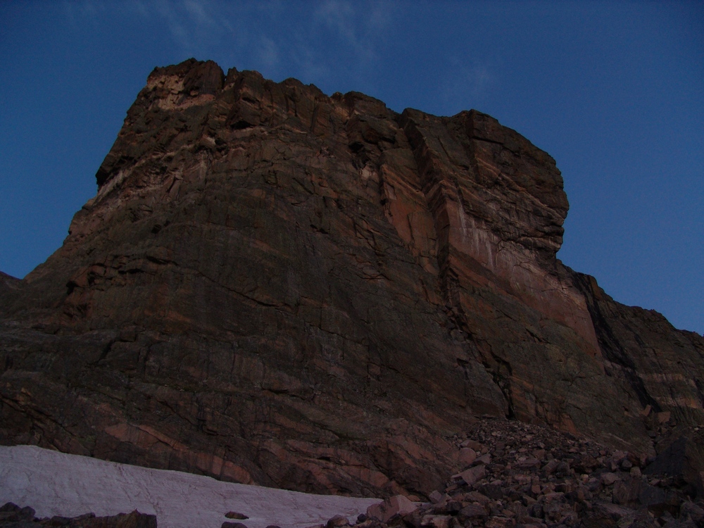
The "Ships Prow" on Longs Peak's eastern face.
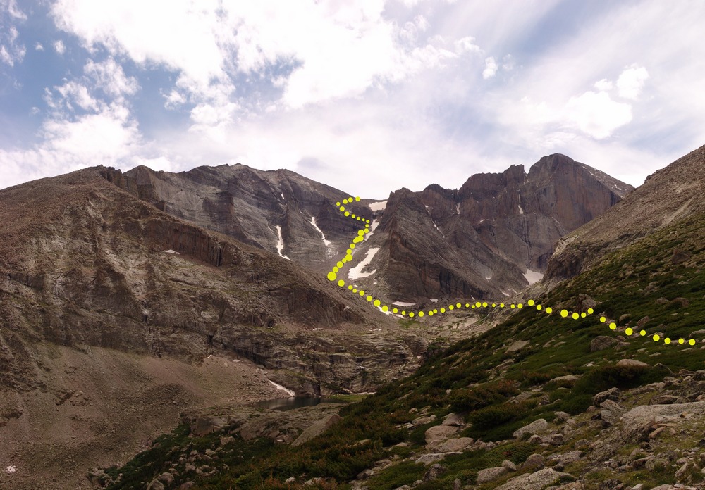
Just after heading left of the Ships Prow, the start of the Loft route begins. The route takes you below and to the right of the "Black Gate," and follows a gully up towards snow run-off at the base of a quite steep section. After reaching the head of the steep section, the route heads straight up the steep area through fun and blocky class 3 terrain. Exposure here was minimal but persistent. Once reaching the top of this section, the trail heads south along a ledge up to a boulder field. From here, the trail weaves through boulders and places you directly in the Loft.
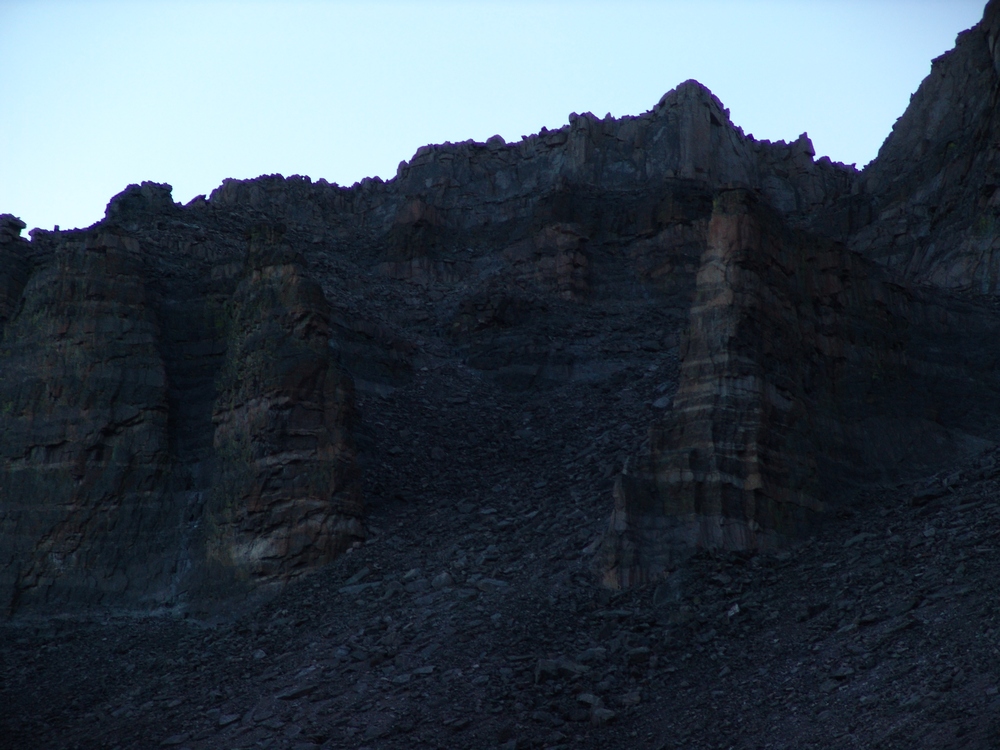
The Black Gate.
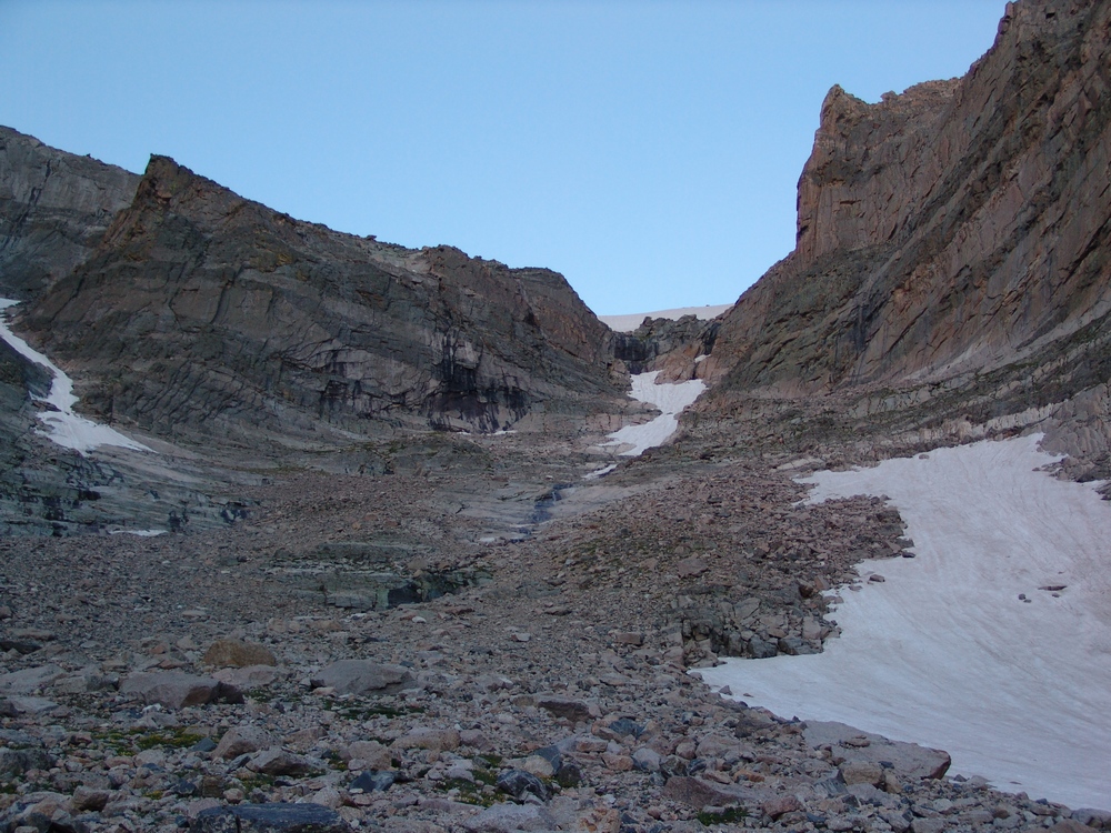
A view of the Loft route. Once just left of the narrowest section of snow, the route heads up and left onto a ledge, leading to the boulder field above.
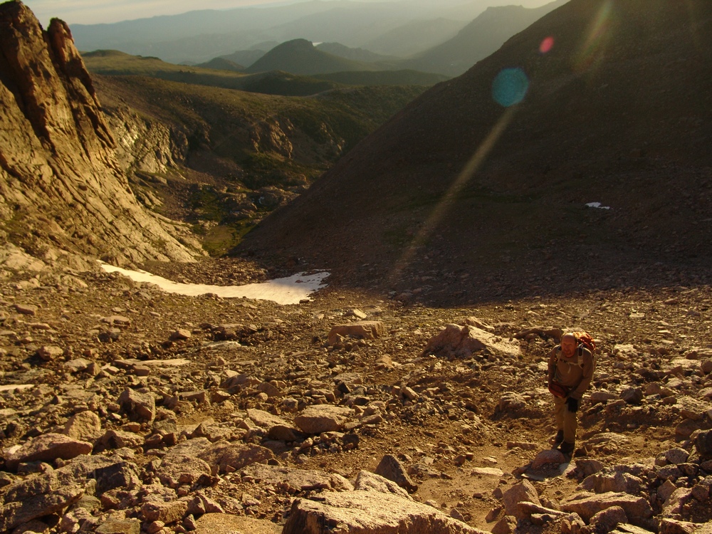
A look back at Ray hiking up the Loft route.
Once in the Loft, the views of both Longs and Meeker were pleasant. Longs looked impressive from the slopes of Meeker.
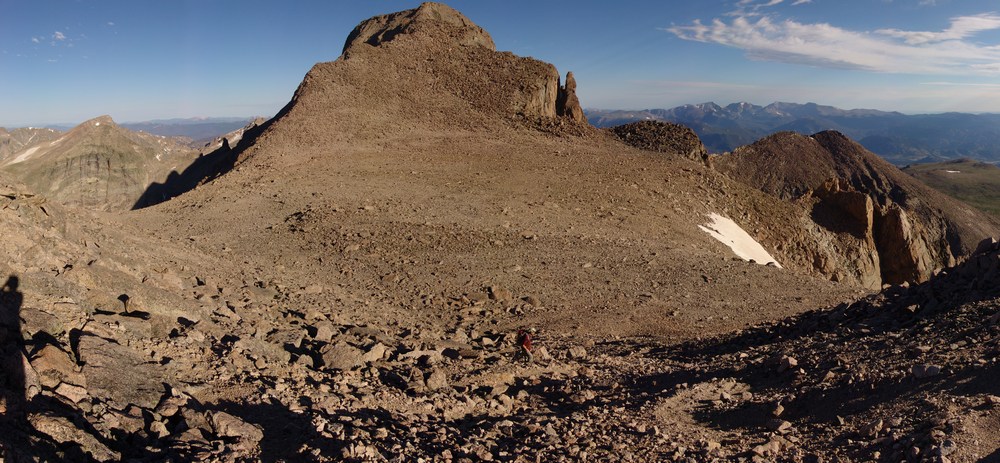
Longs Peak from the slopes of Mount Meeker. Click to see high resolution version.
The hike up Meeker was fairly easy and straight forward. On the way up, I was able to finally catch view of the Mummy Range. It was really neat for me to make out the "Mummy." Can you spot it?

A panoramic view of the Mummy Range and Longs Peak. Click to view high resolution version.

A zoomed in view of the Mummy. Picture in your mind a Pharaoh encased in a mummy tomb on his back. Do you see it?
Once I reached the summit block of Meeker, I decided to get onto the summit proper, which required a fun little move to hop up onto the boulder at the top. The views were pretty good from Meeker, and it was fun to watch the crowds begin to amass on Longs. We had the summit of Meeker to ourselves. Additionally, I found someone's time capsule near the summit, which was kind of cool. I put it back where I found it and ensured it was sealed properly.

A 360 degree view from the summit of Meeker.
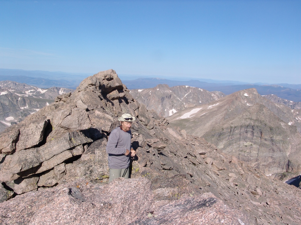
Ray enjoying the summit of Meeker.
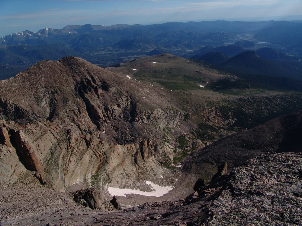
Looking down at the Loft route below us.
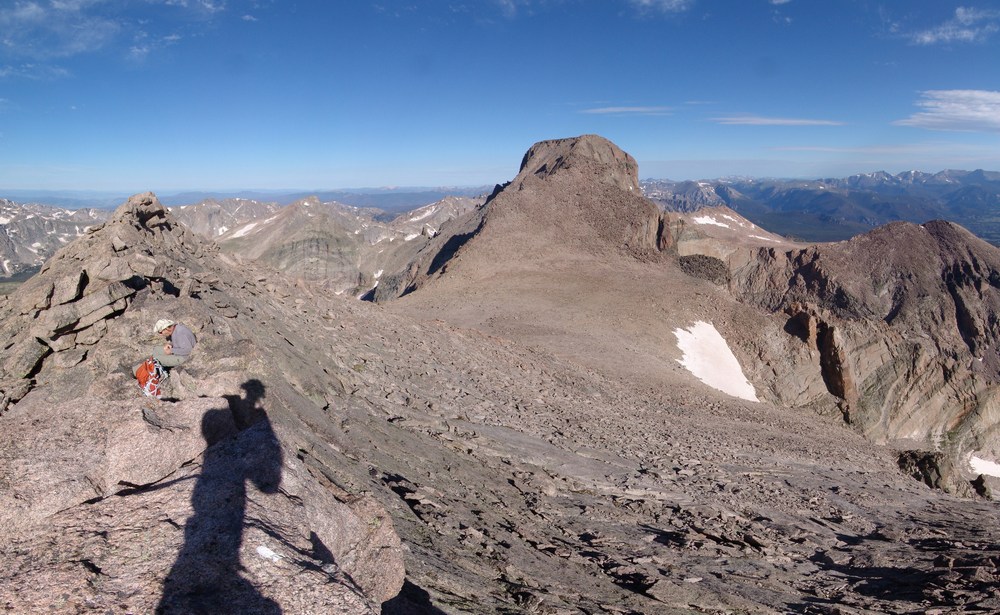
A pano of The Loft.
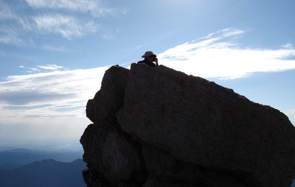
Matt Payne on the summit of Mount Meeker.
After enjoying some solitude on Meeker, we decided to head back down to the Loft and over to the down-climb for Keplinger's Couloir. Ray had read some trip reports of the Loft where people had missed the turn-off for the down-climb into the couloir, so we were cautious to stay low once at the western end of the Loft. We found several cairns leading down and around the backside to Keplinger's Couloir. The route itself was steep but manageable. Once at the base of the cliffs on the western side of the Loft, we headed back up the backside of Longs towards the "Homestretch." The Homestretch is the name given to the last section of the standard route of Longs - a narrow and steep section leading to the summit.
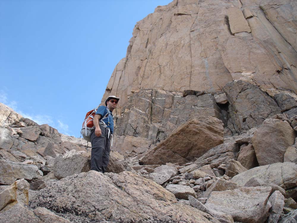
Matt in Keplinger's Couloir on the back-side of Longs Peak.
Once at the top of the coulior and on the other side of "The Notch," the route heads left towards the Homestetch. The route meets up with the Homestretch, and consequently, a huge crowd of people. This is where the trip got fun and interesting. Not so much for the rock climbing and scrambling, but for the people watching. I'll get to that more later on.
The Homestretch itself was a breeze in my La Sportiva Trango Evo Sport boots, the Vibram soles gripped the rock, allowing me to remain vertical on my feet the entire way up. I highly recommend these boots for mountaineering such as Longs Peak. If you're interested in obtaining a pair, check out this link from Backcountry.com. I passed 20-30 people that were on all-fours in tennis shoes, struggling to ascend the Homestretch. There are too many deaths and evacuations from Longs Peak each year - and a lot of it is because far too many people attempt Longs Peak unprepared. Longs Peak is the deadliest mountain in Colorado in terms of the number of fatalities each year, mostly because of the sheer number of people that attempt it. Let me be clear here - Longs Peak is probably not a good mountain for the novice hiker or climber. The standard route climbs through some relatively technical sections with moderate exposure. If you're afraid of heights, Longs Peak is not for you. Additionally, the standard route is over 14 miles long, making it a challenge for even intermediate hikers, let alone beginners. If you really want to prepare yourself for a climb like Longs - please read my Mountaineering Safety article.
I reached the summit of Longs in quick order at 11 AM sharp - a mere 7 hours from the start of the trail. There were probably over 100 people on the summit.

A 360 degree pano from the summit of Longs Peak.

The USGS benchmark on the summit of Longs Peak.
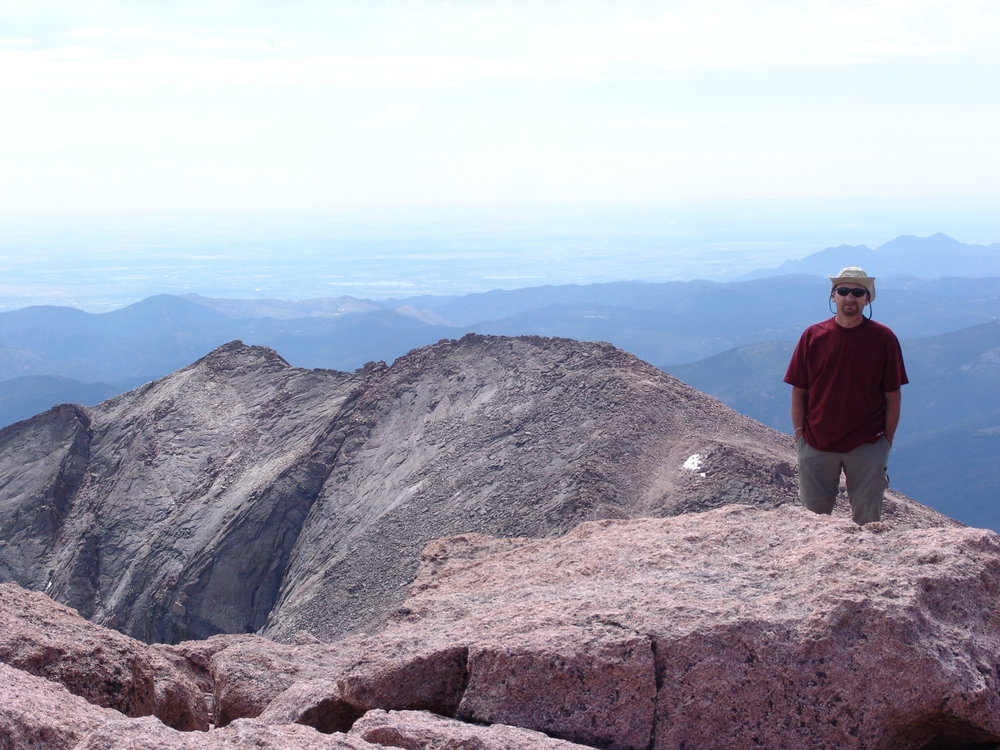
Ray Payne on Longs Peak with Mount Meeker in the background.
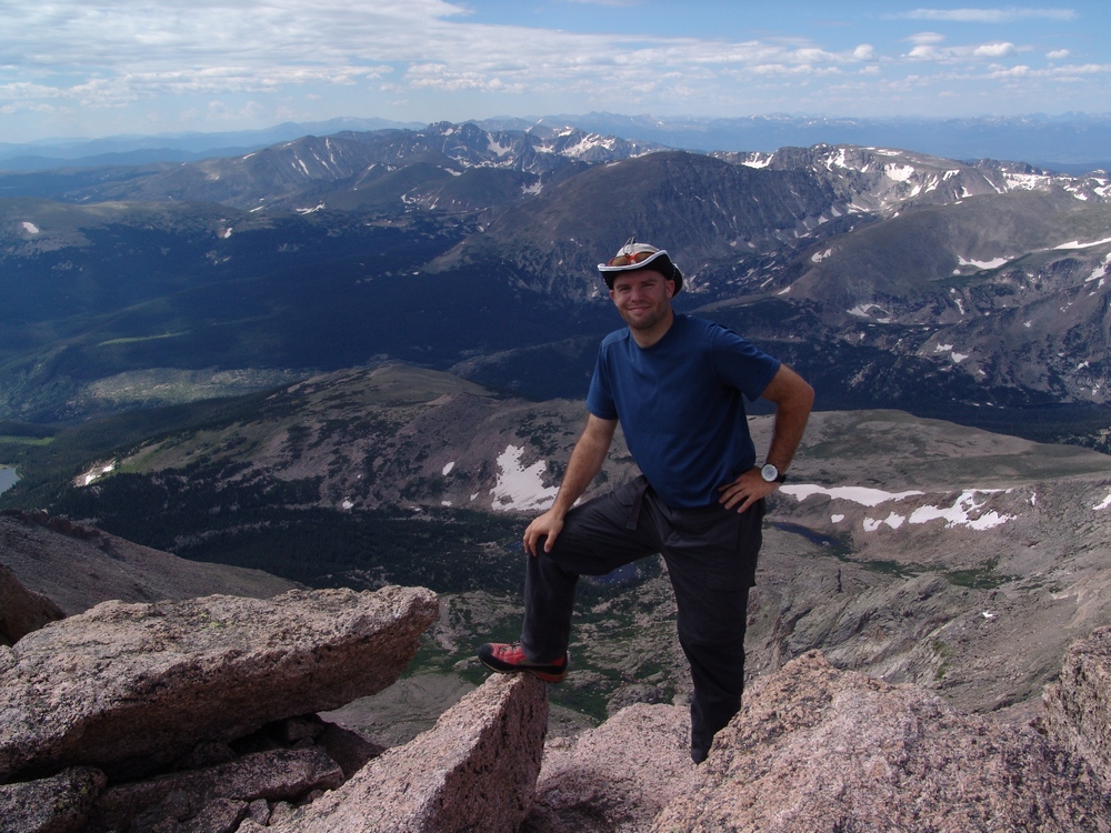
Matt Payne on the summit of Longs Peak
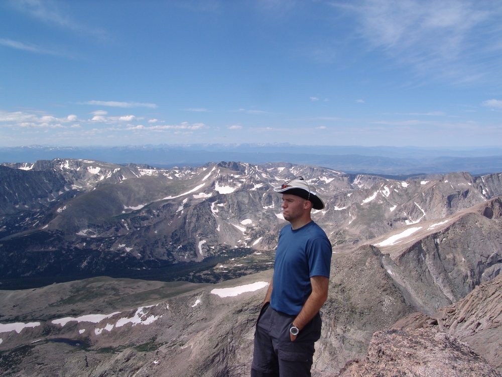
Matt Payne on the summit of Longs Peak.
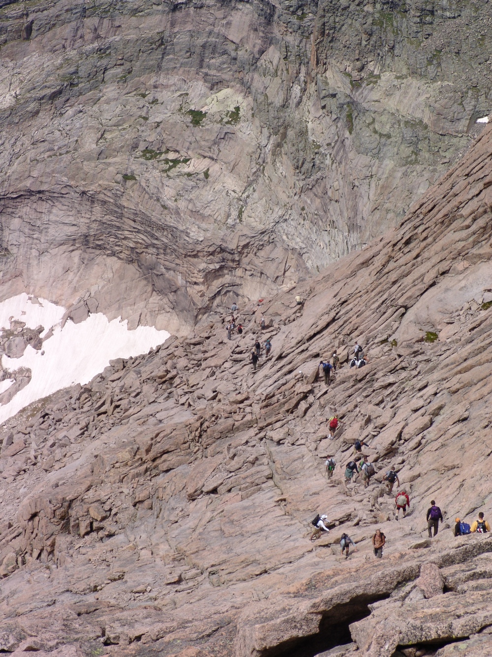
The Homestretch - look at the people!

Mummy Range.
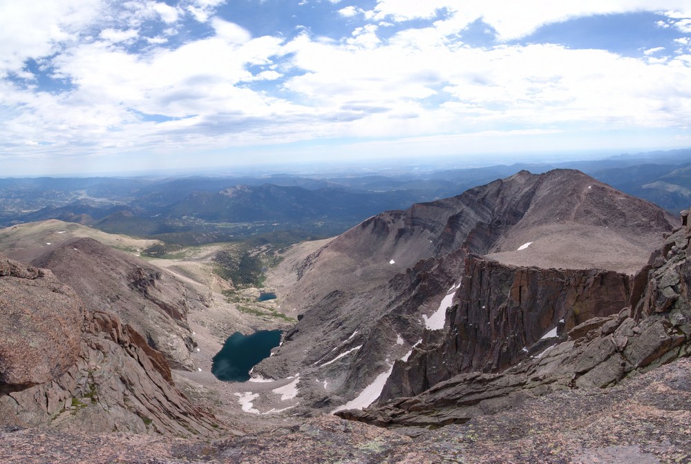
Chasm Lake
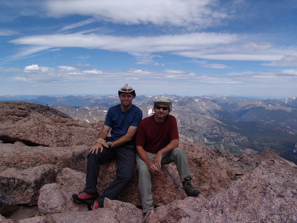
Matt and Ray Payne on the summit of Longs Peak
After hanging out on the summit and refueling with food, Ray and I headed back down the Homestretch. The plan was to take the standard Keyhole route back to the trailhead. This proved to be a good option but frustrating, due to the large amount of people - it was definately a traffic jam! The Homestretch itself went quickly - I bounded down the slopes at a fast pace. After spending the previous week on Vestal's Wham Ridge, Longs Peak's terrain was simple in comparison. After finishing up the Homestretch, the route turns north to a section called "The Narrows." The Narrows are appropriately named. This was a very narrow section, with a great deal of exposure below. I think a lot of people that attempt Longs do not know what to expect for this section - and let me tell you - if you're not used to a little exposure - this may not be a good mountain for you.
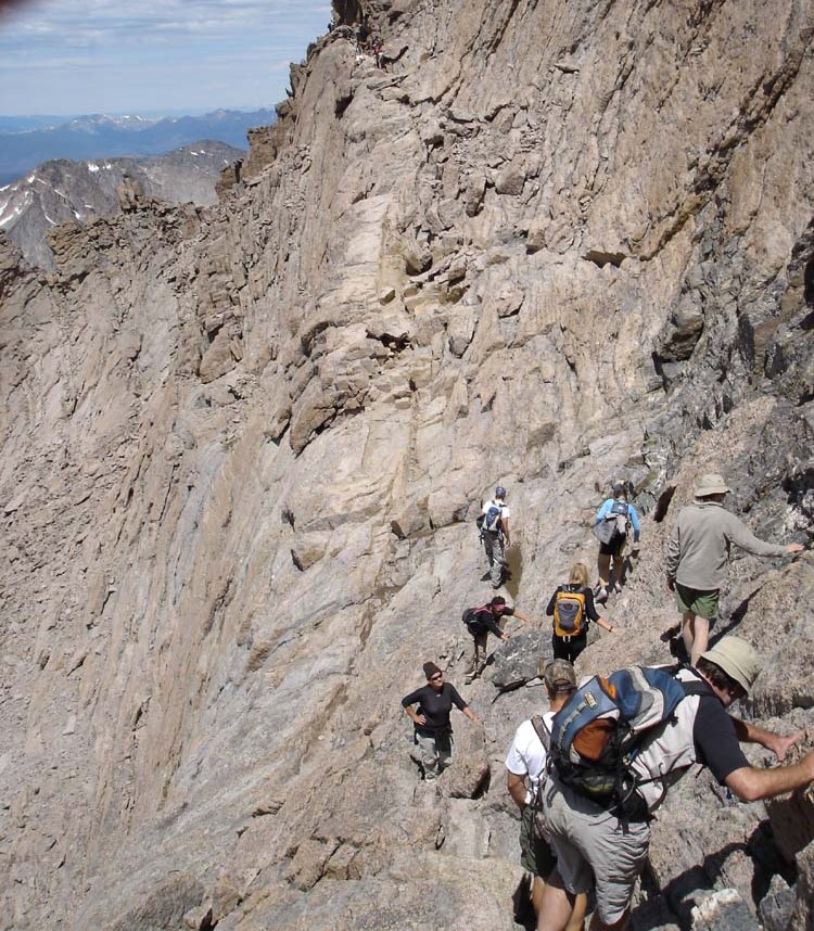
A view of The Narrows.
I suppose all of the caution and concern was not all for naught for these hikers - I finally came across a section beneath what is known as The Trough. This section was narrow as well, and steep on all sides. There was a huge pool of dried blood on the trail at the base of a sharp rock, with splatter marks all over the place. I later learned from a Park Ranger that a man had died at this location just the day before. Indeed, this poor hiker, Jeffrey R. Rosinski, perished, quite possibly due to going off-route, or just plain bad luck. I had the opportunity to speak with his father-in-law via email and the family is holding up well after the incident. Jeffrey's father-in-law indicated to me in our correspondence that he had been training on Mount Washington in New Hampshire. My thoughts and condolences go out to the family for this tragic loss.
I reached the Keyhole roughly 45 minutes after leaving the summit of Longs Peak. The Keyhole is very appropriately named as well...
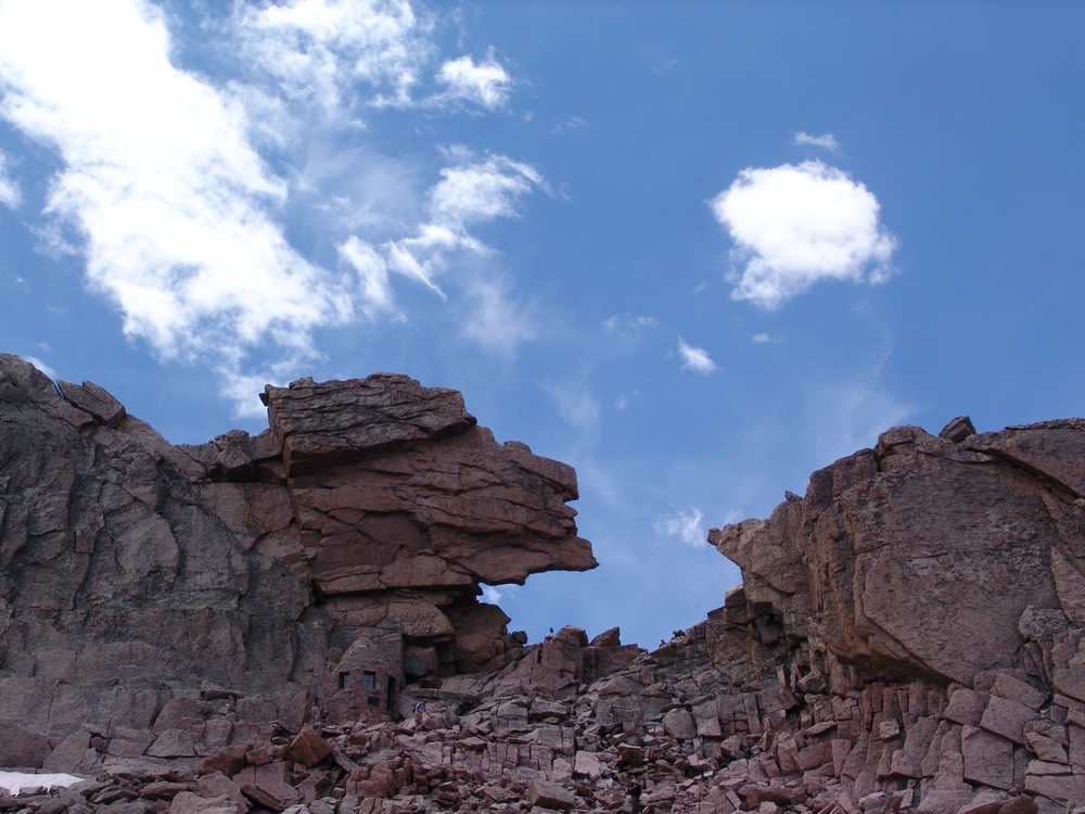
The Keyhole on Longs Peak
I waited for Ray here and once he arrived, we quickly hiked down the well-marked and used trail down the mountain. We passed through the Boulder Field, where permanent camping sites are located for backpackers.
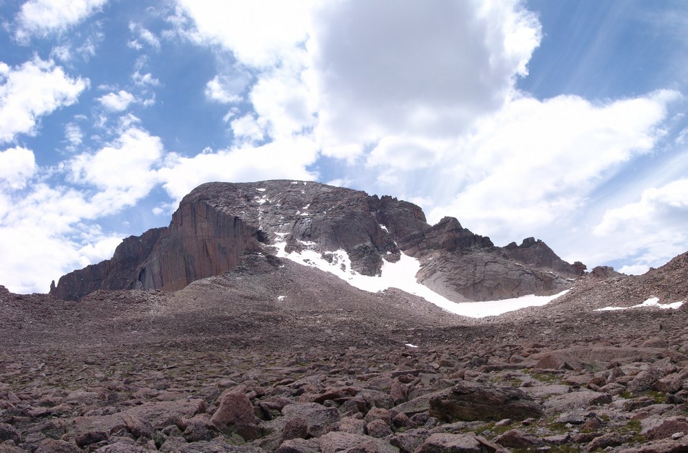
A view of Longs Peak's Diamond, the Boulder Field, and the Keyhole.
Shortly after making our way down passed the Boulder Field, we encounted a large herd of 20 to 30 elk grazing on the tundra.
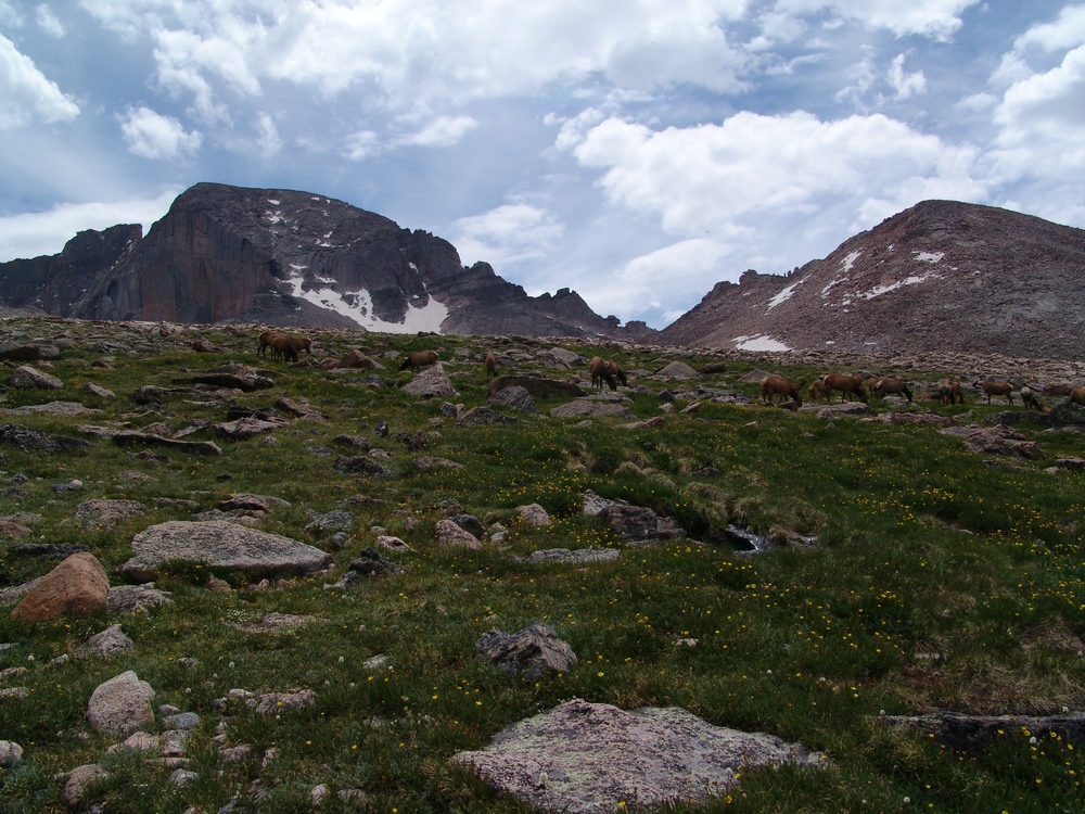
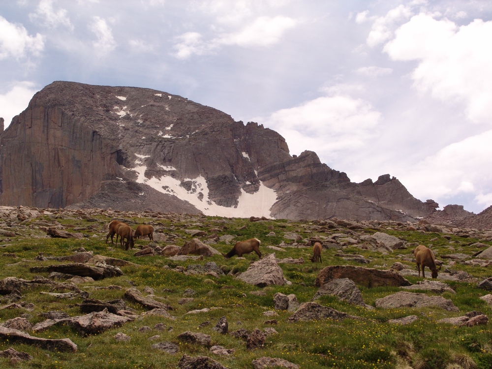
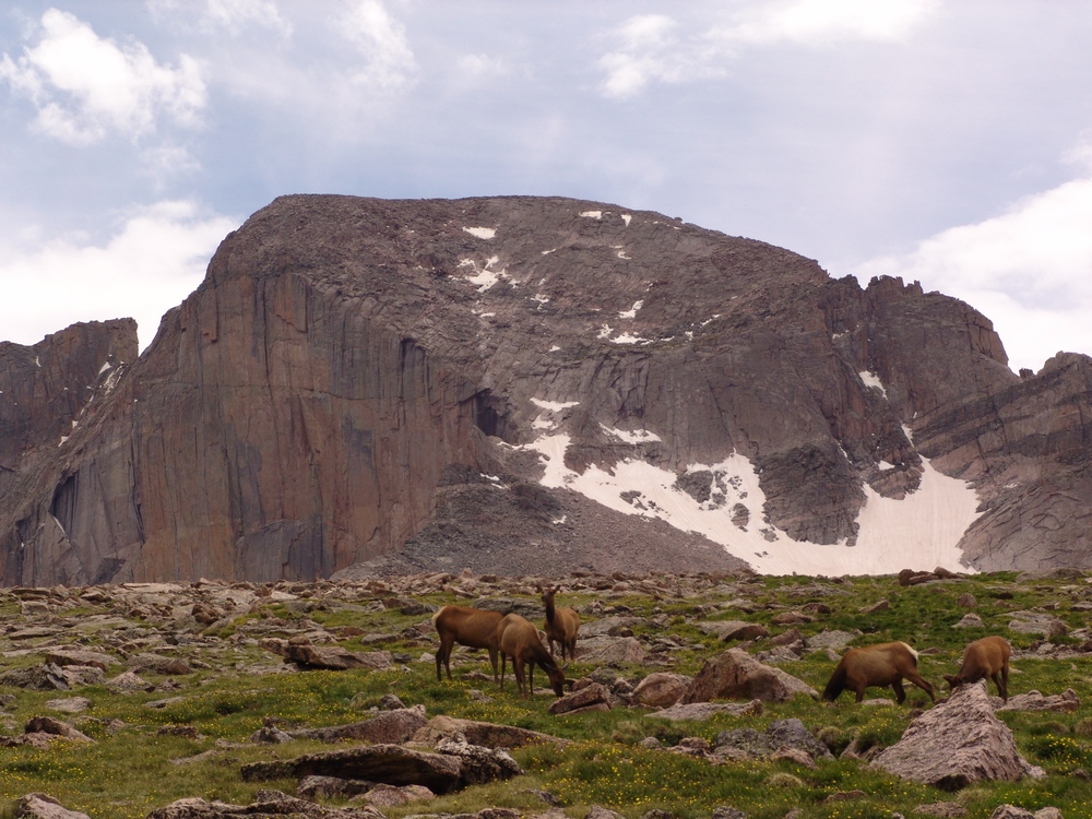
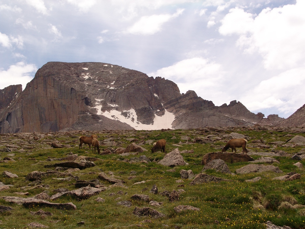
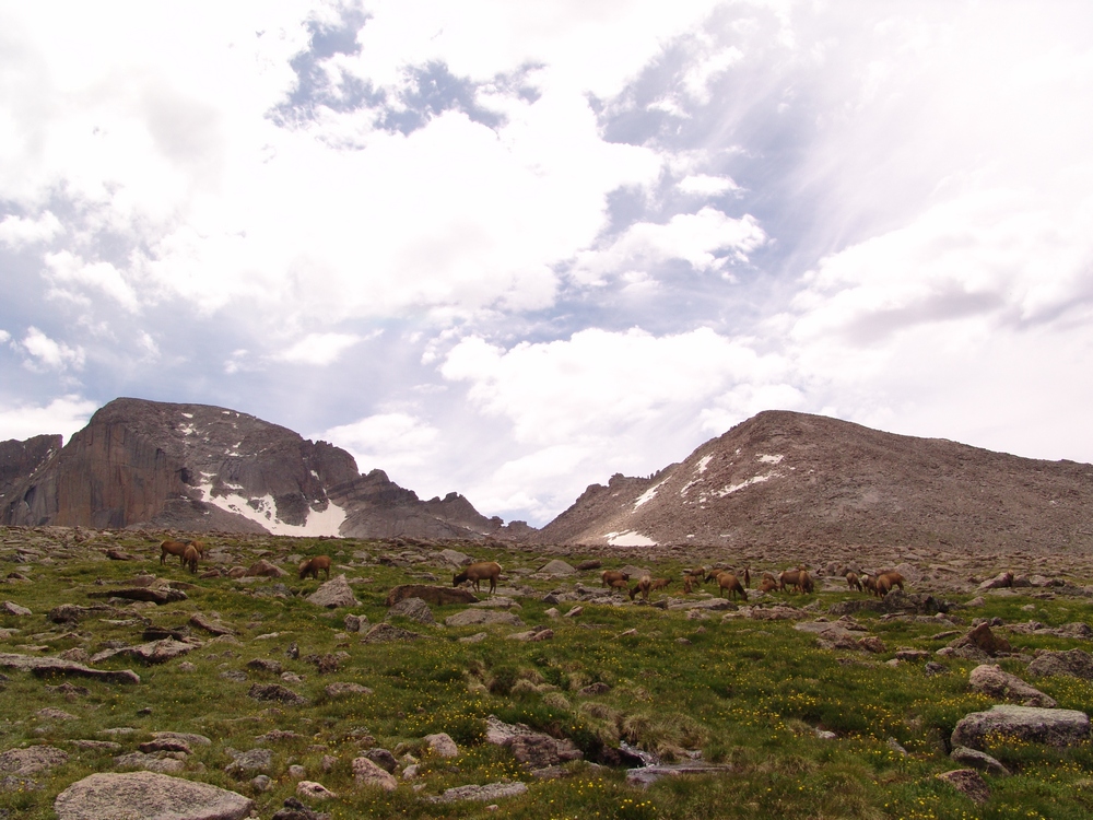
Seeing the elk was a real treat!
We quickly hiked down the easy trail and reached the turn-off for Chasm Lake once again, making full circle. The view of The Loft and The Diamond from this vantage point were great in the daytime hours.
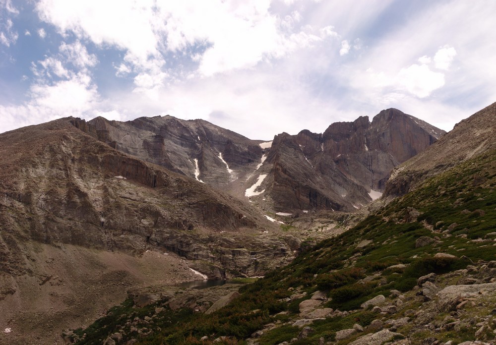
The Loft route
Final thoughts:
- The entire Homestretch section all the way to the Keyhole is marked every 20 to 30 yards with huge yellow and red bullseye paintings on the rocks, showing people where to go. While this is great for the beginner hiker or tourist, it does detract somewhat from the quality of the hike.
- Longs Peak is not a good hike for beginner hikers or tourists. I recommend Mount Sherman for a first 14er.
- The Loft route is a great alternative for those looking to bag Mount Meeker or gain solitude.
Laramie Mountains
The Laramie Mountains are part of the Front Range and rests just north of Rocky Mountain National Park and the Mummy Range. With one exception, this mountain range consists mostly of gentle summits below 11,000 ft. The highest summit is just slightly higher than 11,000 ft. This range extends north into Wyoming and is easily visible from I-25.
Mummy Range
The Mummy Range mostly lies within Rocky Mountain National Park, and encompasses over 160 square miles of rugged glaciated summits, six of which are above 13,000 ft. The Mummy range is part of the Front Range, and shares similar characteristics as its neighbors to the southwest, the Never Summer Mountains.
Front Range
The Front Range of Colorado is perhaps the most well-known mountain range in Colorado due to its proximity to three major metropolitan areas: Denver, Colorado Springs, and Ft. Collins. The Front Range is comprised of several sub-ranges, including Rampart Range, Kenosha Mountains, Platte River Mountains, Tarryall Mountains, Puma Hills, Vasquez Mountains, Laramie Mountains, Rocky Mountain National Park, Never Summer Mountains, Medicine Bow Mountains, Mummy Range, Williams Fork Mountains, and the Indian Peaks. Additionally, the Front Range covers roughly 7,000 square miles and spans more than 175 miles North-to-South, making it Colorado's longest mountain range.


