Mount Rosa is a 11,499 ft. mountain located just west of Colorado Springs and from Colorado Springs appears to be next to (north of) Cheyenne Mountain. Mount Rosa is a deceptive mountain though because it is actually quite a bit west of Cheyenne Mountain. According to David Phillips, who wrote an entire thesis on the mountain, the peak was named in 1874 after Rose G. Kingsley, a prominent figure and devoted hiker in the early days of Colorado Springs. As a native to Colorado Springs, Mount Rosa has always intrigued me because of its visibility and prominent form.
In fact, most people don't know Mount Rosa by name, but if you said "that pointy mountain next to Cheyenne Mountain," most people would know which mountain you were talking about. So naturally, because of how visible this peak is, I have always been intrigued by it and wondered what kind of climb it would be. Not having researched it at all before doing this hike, I was surprised by the level of ease and high level of access that Mount Rosa affords the casual hiker. Within minutes, you can be at the trailhead from Colorado Springs and on the summit within another hour or two. This makes Rosa a great option for someone looking for a quick hike or a first ascent for less advanced hikers wanting to get a great view of Colorado Springs. Indeed, the views from the summit do not dissappoint and are surprisingly good despite Mount Rosa's low elevation of only 11,499 ft. In fact, from Mount Rosa, one can see most of the Sangre de Cristo Range, including the Blanca Massif.
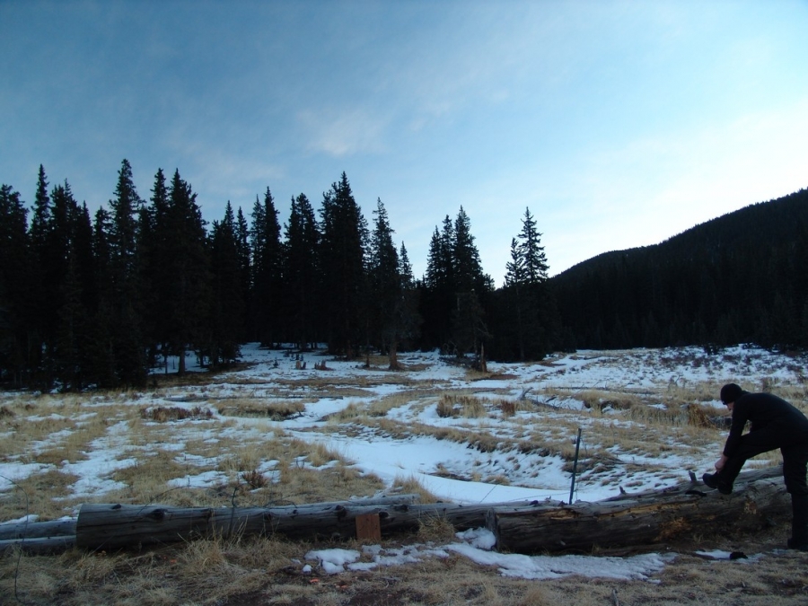
To get to the trailhead for Mount Rosa, take Old Stage/Gold Camp Road approximately 12.5 miles to Forest Service Road 379 (close to the Penrose-Rosemont Reservoir). Turn north on 379 and travel on the 4WD road to Frosty Park for another 1.5 miles. There is no marked trail per-se; however, the Frosty Park area is easy to spot as it is a huge clearing with lots of mud tracks from off-road vehicles. Even in winter, we were able to get my Jeep Grand Cherokee (4 inch lift, 32 inch tires) to Frosty Park without any issues; however, a lower clearance vehicle or one lacking 4WD will cause you to add another mile or two to your hike.
From the Frosty Park trailhead, Mount Rosa is only a 1.75 mile hike up moderate terrain. We did not employ snowshoes although it would be probably be a good idea to have them with you if there were recent snowstorms. We had ours with us but opted to leave them in the car.
There is ample parking at Frosty Park; however, I would be curious to see this area in the summer months, as there was evidence that people go there to fire their weapons. It may be prudent to find alternative parking in that case.
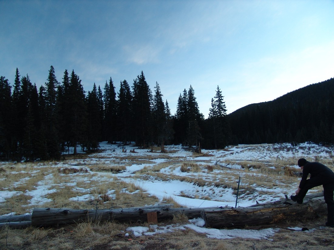
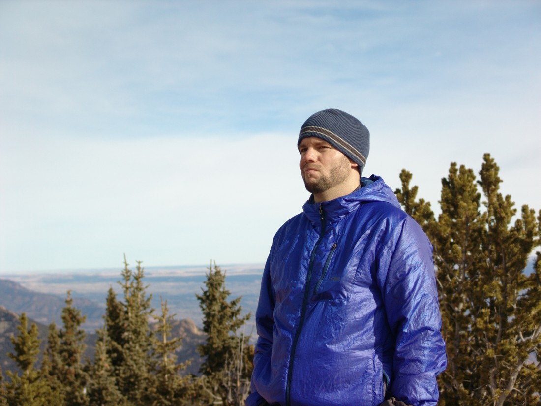
Ethan Beute prepares for our quick hike up Mount Rosa.
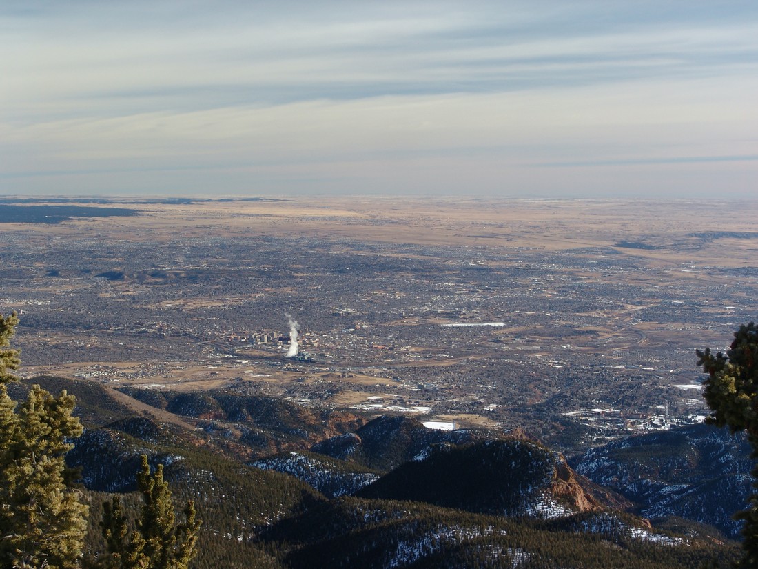
Although the trail was obscured by about 6 inches of snow for the entire hike, we found the route to be pretty straight-forward and easy to follow. If you've never been in the area, it may be advisable to bring a map and/or GPS just in case. The trail heads east and then gains the ridge for Mount Rosa pretty quickly. Before you know it, you're standing on the summit, with excellent views of Pikes Peak and the Colorado Springs metro area. Rosemont Reservoir looks really cool with the snow covering it as well.
The views of the Sangre de Cristo range were also really nice, which was a surprise for sure.
You could also make out most of the major geographical points of reference down in town.
Can you see your house?
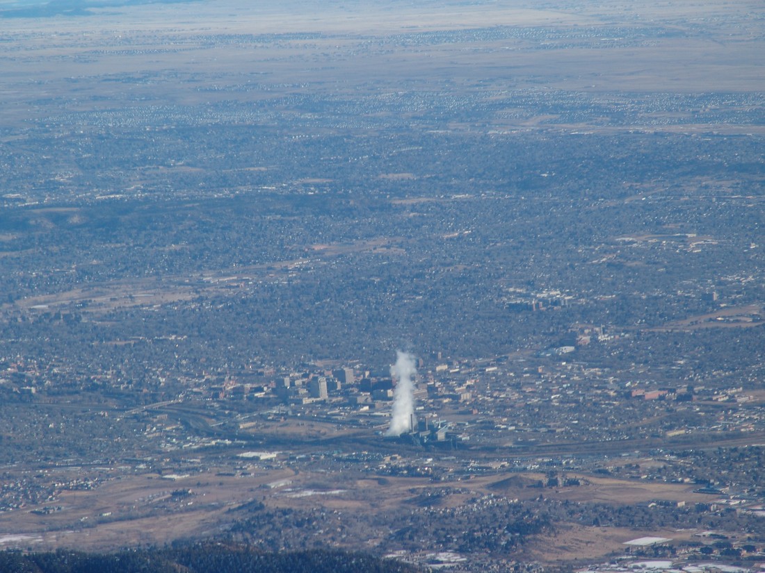
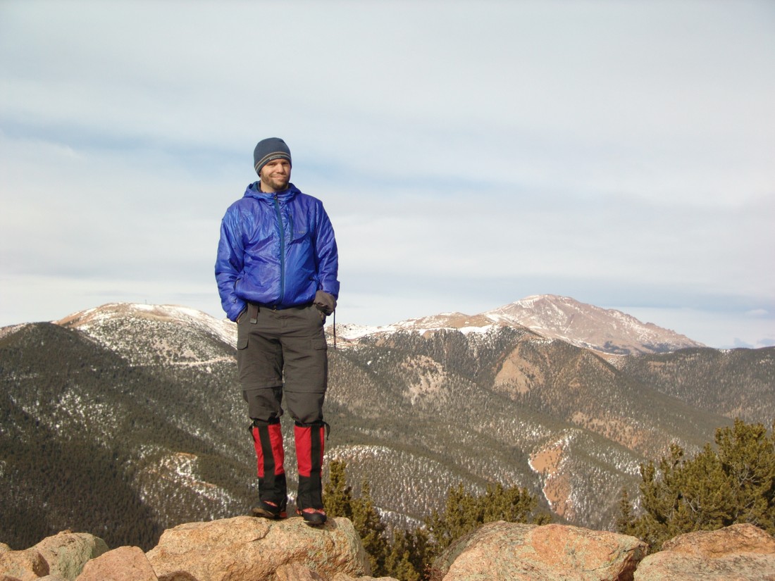
The weather was very nice for mid-January, so Ethan and I enjoyed our time on top of Mount Rosa. We also got a good idea of the route up Almagre Mountain from there, and made tentative plans to return to hike that mountain in the future.
Almagre Mountain seen behind Matt Payne
And to finish of the report - here's the 360 Degree view from the summit:
Mount Rosa looks intimidating from Colorado Springs, but in reality, it is a quite easy day hike that could be accomplished by nearly anyone. I hope you can get out and enjoy the views from Mount Rosa's great summit! If you find these trip reports useful, you can always follow 100summits.com on Facebook or Twitter to stay updated.


