Traver Peak is a high un-ranked 13er (13,852 ft) in the Tenmile Range just one valley north of the Kite Lake basin, which includes the popular 14ers Lincoln, Democrat and Bross. The valley which Traver calls home is also home of one of the highest 100 summits in Colorado, Clinton Peak, Wheeler Mountain and another un-ranked peak, McNamee Peak. My original plan was to summit Traver Peak, traverse over to McNamee and finish off on top of Clinton Peak...
Since my wife and I had plans for Saturday, I decided to hike on Sunday. My friend Regina had to work, and my other friend, Ethan, had plans with his family, so I put a call out to other climbers on 14ers.com to see if anyone would be interested in giving Traver et. al. a go. Soon, Ryan Marsters (Monster5) from 14ers.com responded that he would join me for the hike. I had never met Ryan before, but we had exchanged several messages last year concerning an incident he was part of on Ellingwood Point where a hiker he was with had an epilectic seizure, and subsequently dislocated her shoulder, forcing Ryan to spend the night with her on the side of a 14er through a thunderstorm.
Anyways, I left my house in Colorado Springs at 4:15 AM to meet up with Ryan at 6:15 at Montgomery Reservoir, which is located just up Highway 9 from the second highest incoroporated town in America, Alma.
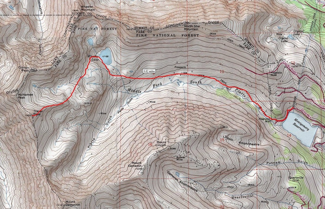
A map of our route up Traver Peak. Click to enlarge.
All in all, we traveled a total of 9.62 miles round-trip and gained 3,000 feet of elevation on snowshoes to conquer this rarely-summited 13er.
I arrived at the reservoir at 6:20 AM and hustled to get ready to hike. The sun had not quite risen yet, but the area was nicely lit by the early morning light.
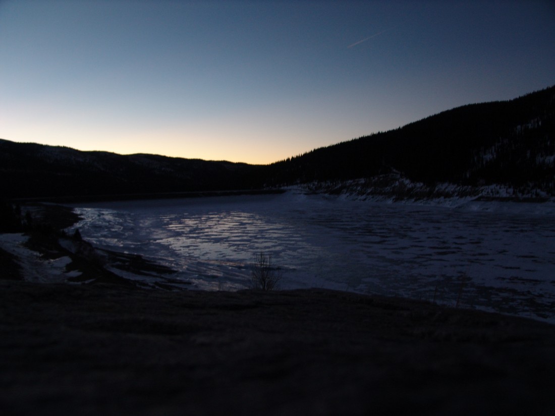
Montgomery Reservoir.
Ryan and I began hiking at about 6:30 AM and made our way up the snowy trail in quick order. Excellent views of the Lincoln Ampitheatre were available as well - it would appear to be a really awesome place to go ice climbing if you were so inclined.
We were able to manage without snowshoes until about a 1/4 of a mile into the hike, right at the base of an old abandoned mine, the snow became too deep and powdery to continue in boots only. We were postholing up to our hips. So, on went the snowshoes for the duration of the hike up. The snow further up the basin was quite hardened, and the wind was blowing quite a lot, which made for some really neat effects on the ground - it was like a dust storm only with snow.
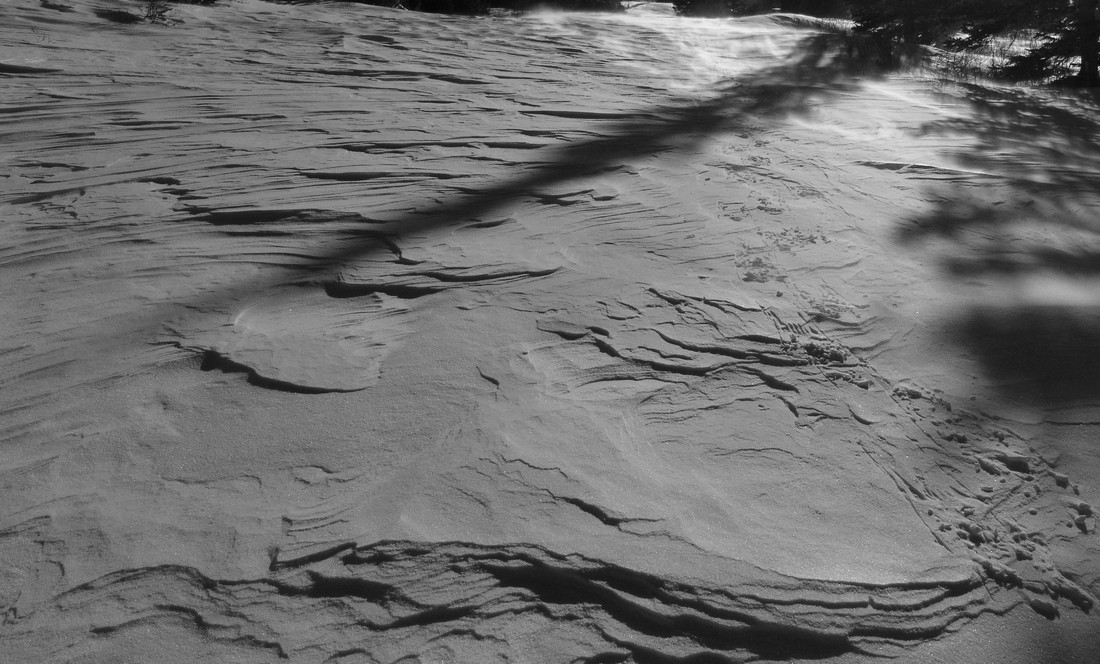
Ryan proved to be a very quick hiker. I felt pretty out of shape for some reason (must be all those holiday calories catching up with me), but I managed to keep up for the most part. It also helped that Ryan was 21-years-old, a good 11 years younger than me. Hehe.
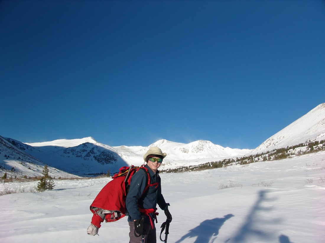
Ryan Marsters - adventurer, geologic engineering student, and hiker extrordinaire.
Views of North Star Mountain were available throughout the day. I had heard a lot of good things about that mountain for winter hiking, and I think it would be a pretty easy one to do on another day.
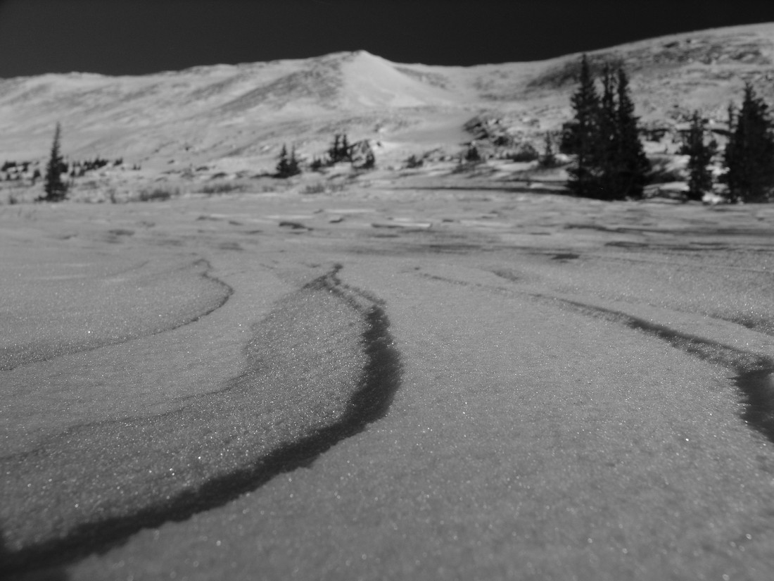
The snow continued to be blown about by the strong winds, which seemed to gust up to 40 or 50 miles per hour throughout the day. Even though the tempurature was around 20-30 degrees, it was still pretty chilly if your skin was exposed to the wind. The blowing snow made for some cool photo opportunities. Also, the snow acted like sand, and it reminded me of the Great Sand Dunes at times.
Excellent views of Silverheels Mountain were also available for much of the morning, and it looked pretty wind-blown, confirming reports from a friend of mine, Jason Wichman (who by the way runs a cool photography business), that Silverheels looks quite doable currently.
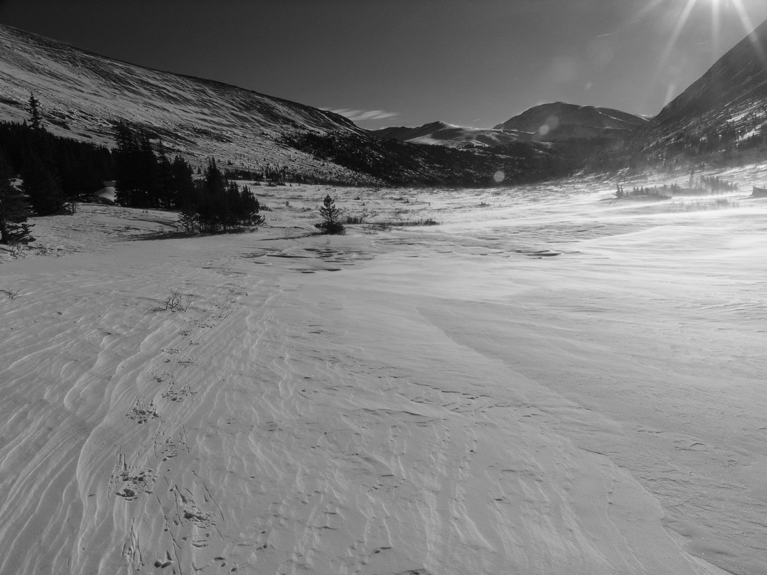
Silverheels looking good in mid-winter (right of center).
The hike up into the basin was quite a haul in snowshoes, so we stopped frequently to take breaks and enjoy the views.
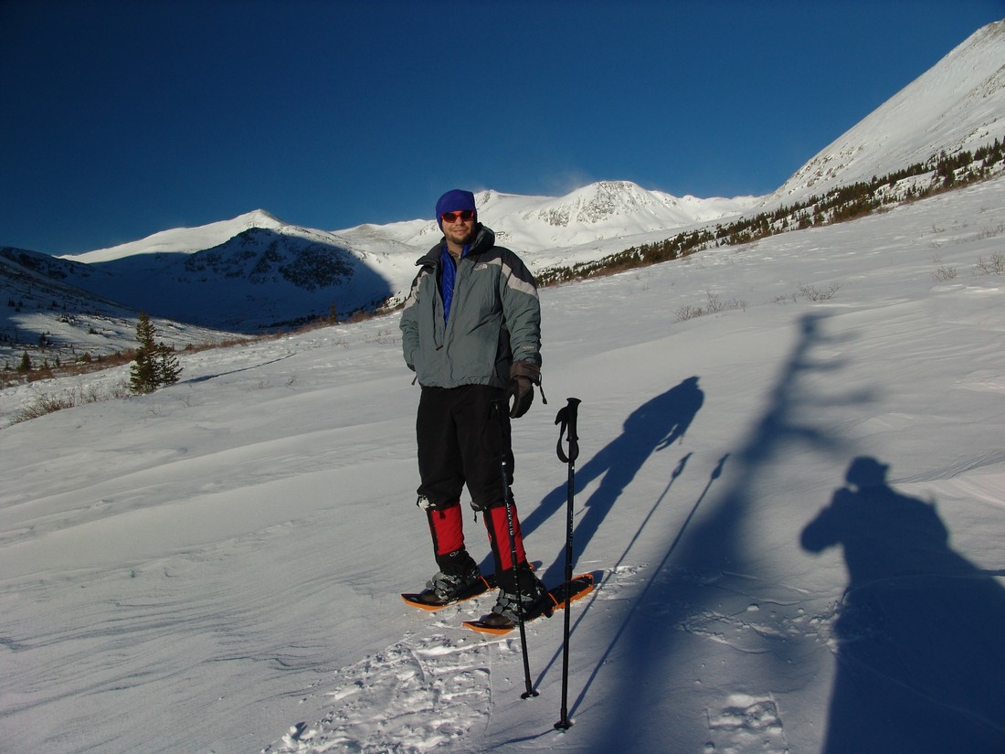
Matt Payne stops to admire the views on the way up to Traver Peak.
I was impressed with the performance of my MSR Lightning Ascent snowshoes for the most part. The heel ascenders really make a difference when hiking up the steep sections, no doubt. If you want to learn more about those shoes, I wrote a review about them.
As we gained more elevation, the terrain became steeper. The snow conditions on the ground became inconsistent, and we were finding ourselves stepping on hard snow one step and soft snow the next, which made for interesting travelling conditions. I could not imagine doing this without snowshoes, but I think skis might be more effective. I might have to give that s shot someday when I have money to buy skiis.

The basin below Wheeler Lake.
We made our way up towards where Wheeler Lake is supposed to be, and of course we found it to be covered completely in snow. It was a pretty location, and I would recommend you check it out when you get a chance. I will probably return sometime in the summer to see the area, because it seems that it would be pretty amazing! The whole basin is surrounded by high peaks in all directions. Can't beat that!
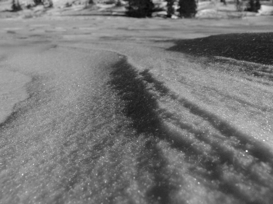
For the most part, the snow on the mountain had a sugary consistency, as seen below:
Once we reached Wheeler Lake, we evaluated the avalanche conditions and agreed that the best route up would be to head to the top of the basin and then up a gully that was the least steep and presented the least amount of avalanche terrain. Once we reached the top of this section, we found ourselevs at the base of Traver and the rest of the peaks in the area. Before heading up Traver, I snapped off this 360 degree pano, highlighting Traver Peak at far left, McNamee, Clinton (the snowy one at center), Quandary, Lincoln and Democrat (far right).

The route up Traver was very straight-forward. We kept our snowshoes on for the extra traction up the mixed rock-and-snow terrain that Traver offered.
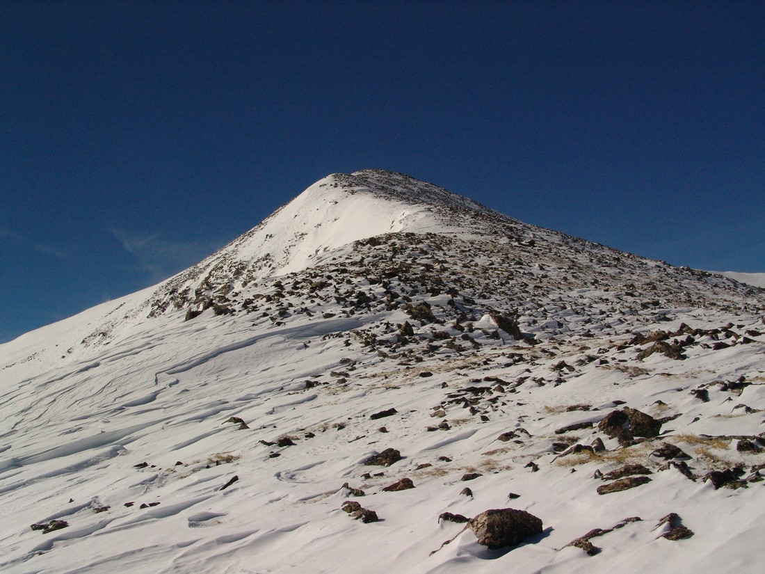
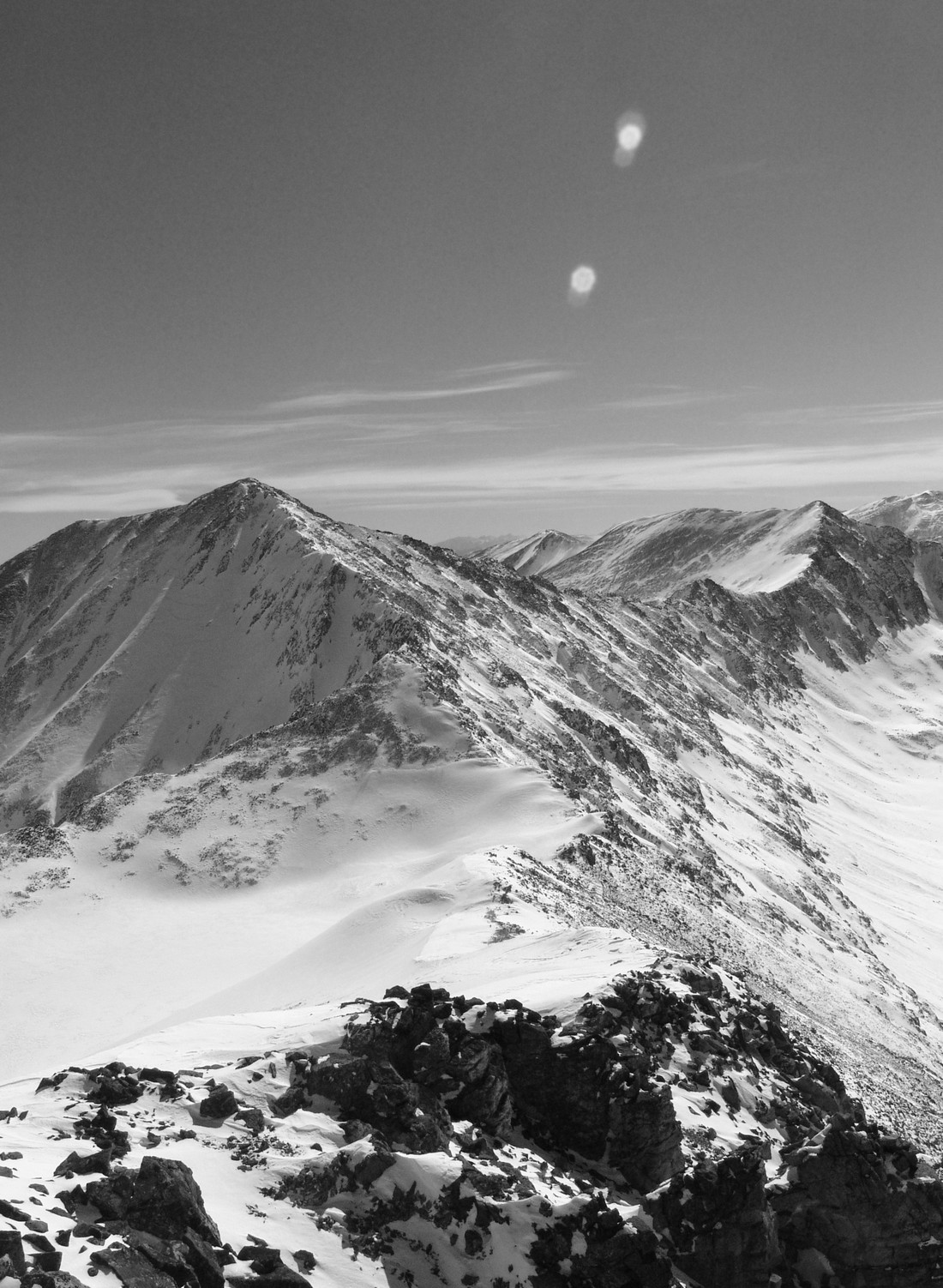
Traver Peak.
As we climbed, views of Democrat and Buckskin were very welcomed. The whole valley instilled a sense of peace within me. Something about being up high in the bright white snow, with wind rushing around - breaking the silence... it was calming.
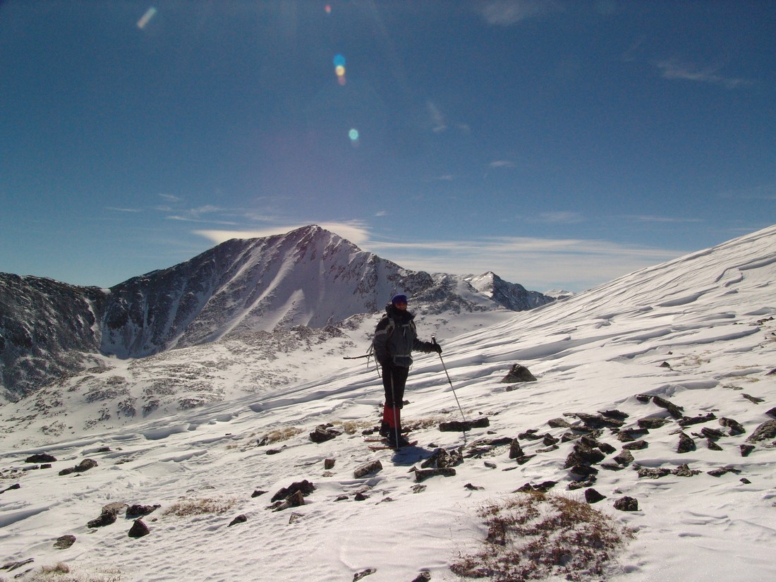
Democrat and Buckskin looking fine in February.
We both finally reached the top of Traver at 12:30 PM and hung out on top for about 30 minutes, taking photos, snacking and discussing all things related to the awesome beauty that laid before our eyes. I was really impressed by the view from Traver - it does not disappoint! The views of Lincoln and Democrat were superb, but what really impressed me was how well you could make out the Collegiates over in the Sawatch Range as well as Mount of the Holy Cross. Additionally, the Gore Range really stood out to the north of us - and we both commented about wanting to go there to enjoy the class 4 climbing offered by that secluded range.
The Sawatch Range.
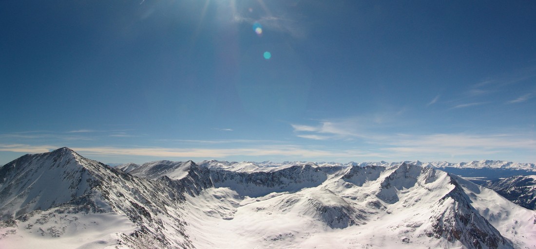
Democrat, Buckskin and the Sawatch Range.
Black and White view of the Sawatch Range.
Views of the Elk Mountains were pretty good too - Snowmass and Capitol stood out pretty nicely. Holy Cross is seen at far right:

Obligatory 360 degree summit pano:
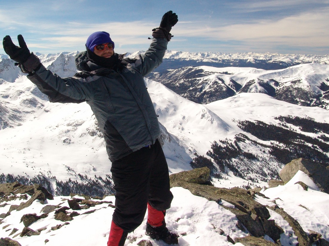
Ryan captured this photo of me being goofy on the summit:
We started to plan to head over to McNamee and Clinton, but my legs were starting to cramp up so we opted to head down instead since it was already 1 PM. In retrospect, I regret this decision because of how close those two mountains are to where we were at; however, now it gives me an excuse to go back to this really nice valley.
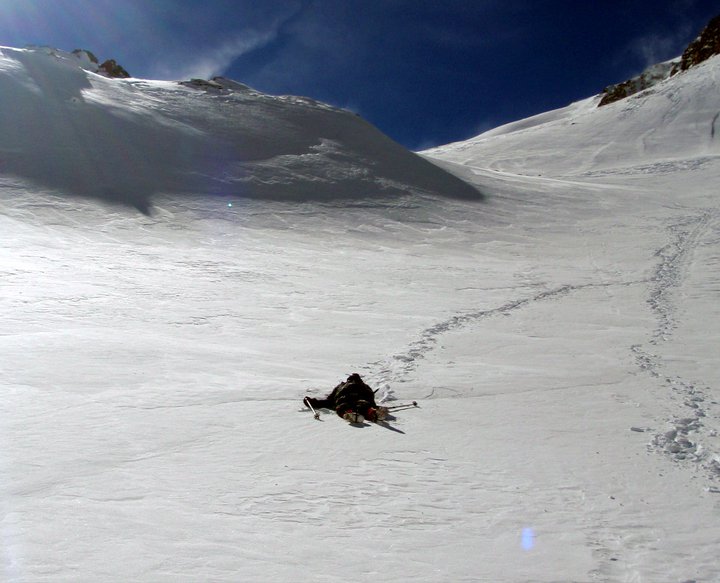
So, Ryan and I took off the snowshoes and headed back down. As soon as we reached the area just above the gully I spoke about before, we had to put our snowshoes back on. The snow was a bit heavier in the afternoon after soaking up the sun, so the going was a little rough. We sunk into the snow a bit more than I would have liked, but we still made great time. It was a tiring affair. Here's a shot Ryan took of me after we made it down the gully:
We finally made it back down to the trailhead at 4 PM, making the entire trip 9.5 hours. I highly recommend this hike to anyone looking to get out this winter! Thanks for reading!
If you find these trip reports useful, you can always follow 100summits.com on Facebook or Twitter to stay updated.


