Mount Antero is one of the easiest mountains to identify as you are driving into Buena Vista from Colorado Springs. It is a very pointed peak to the South of Mount Princeton. Mount Antero towers above the Arkansas River Valley as one of the mighty 14ers in the Southern Sawatch.
Here are some fun statistics from this adventure:
Mountain climbed:
Mount Antero. 14,269 feet. 10th highest in Colorado
Elevation gain: 3,401 ft.
Total miles: 6.4 miles

My mission, and it was a fun mission indeed, was to reach the top of Mount Antero. Being out of shape and out of the climbing game for quite some time, I had exercised all Spring for this summer's adventures. This was an adventure indeed... Wind. Cold. Wildlife.
I drove from Colorado Springs on Friday night and made record time since the wife forced me to eat at home instead of on the way (thanks babe). I arrived at the turnoff for the Baldwin Lakes at around 8 PM and met up with Randy from 14ers.com there. We had met on 14ers.com and agreed to conquer Antero together. His cousin Daniel met us there and I decided to drive up the road where I would sleep for the night.If you've never been up the Baldwin Lakes road, its quite the adventure, especially if you're in a stock-equipped vehicle. My 2007 Jeep Grand Cherokee handled it like a champ, but not because I'm very good at driving off-road, that's for sure. The whole time I was driving up, I was white-knuckled and cringing for the inevitable scrape on the underside of my vehicle.
Fortunately it never came. On the way up the road I had two interesting moments. The first moment was when I was about half-way up and a big mammal was right in the road in front of me about 20 yards away. My vehicle startled it and it scurried off the road but I recognized it clearly - a porcupine. I had the wherewithal to not get out and investigate, but was glad I could see such a wild fella in the woods.The second interesting moment was at the stream crossing at the road intersection for Baldwin Gulch and Baldwin Lakes. I crossed the stream reluctantly, as this was something I had never done in my Jeep and I was not sure how deep the water was. I had read on 14ers.com that the stream was passable by a stock 4x4 truck, so I figured my Jeep would be OK. I was right, but I had trouble sleeping all night because all I could do was conjure up images of my Jeep being stuck in the water on the way down! Note, the water looked a heck of a lot deeper in the dark than in the daylight!

Baldwin Creek in early June - not for the faint of heart or stock-equipped vehicles...or, maybe, people afraid to get stuck, like me!
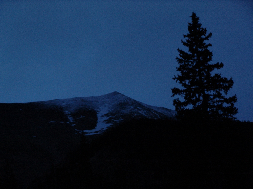
I set the alarm for 5 AM and tried to sleep in the car on a slight angle - always a fun endeavor. I woke up the next morning and shortly afterwards Randy and Daniel were at my car to start the hike. We started up the road and you could barely make out Antero in the darkness:
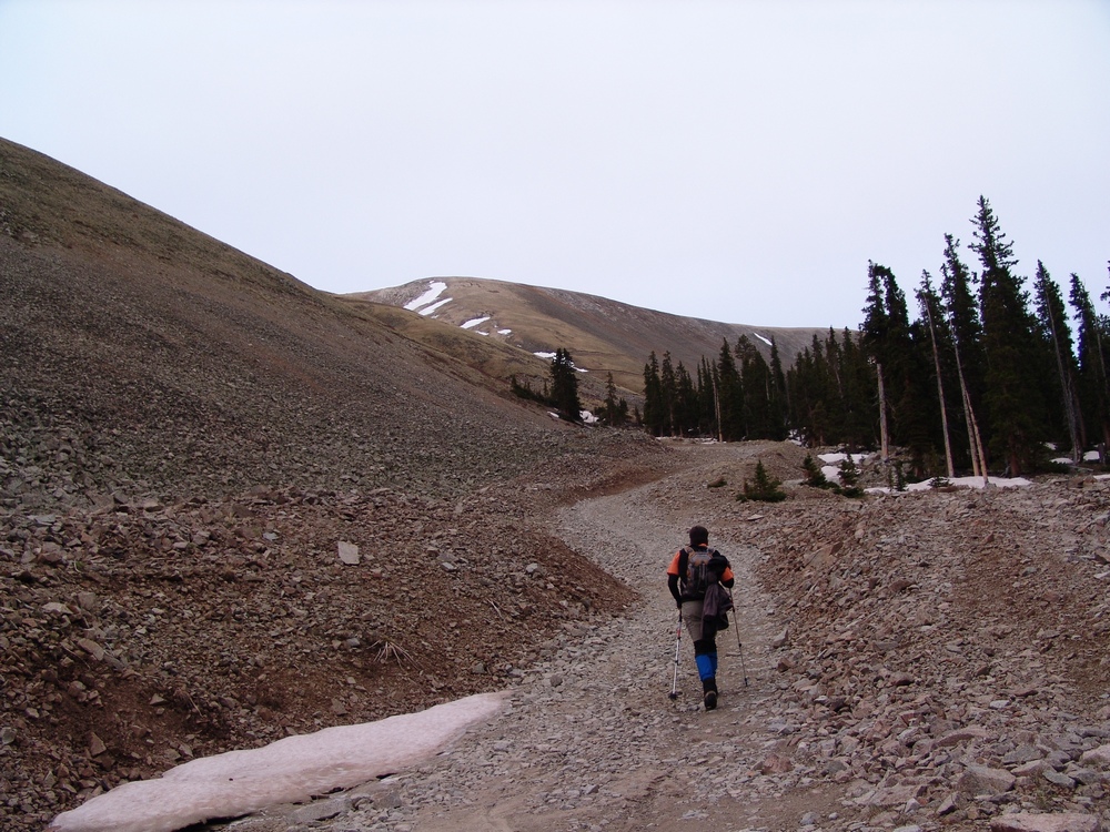
Its important to note that Antero has a well-developed 4x4 Jeep road going up the majority of the way up until about 13,800. This does not make it "easy" necessarily, but it certainly takes a lot of the mystery out of the hike. Randy blazed the trail ahead and set the pace for the morning:
The road switches back and forth up the side of Antero, as seen from my picture taken from the top of Mount Shavano just the week prior:
Its also important to note that there is some considerable mining interest on Antero. Apparently there have been some very nice and quite valuable aquamarine finds on this peak, including the largest aquamarine specimen ever found in North America, as evidenced by this article. As we climbed up, the sun began to rise and we were able to make out North Carbonate and Baldwin lake below it to our west. I climbed North Carbonate, now called Cronin Peak, on 9/1/1985 when I was just 6 years old. My memories from that climb are vivid, as we were pushed from the top by lightning. That made this climb even more nostalgic.
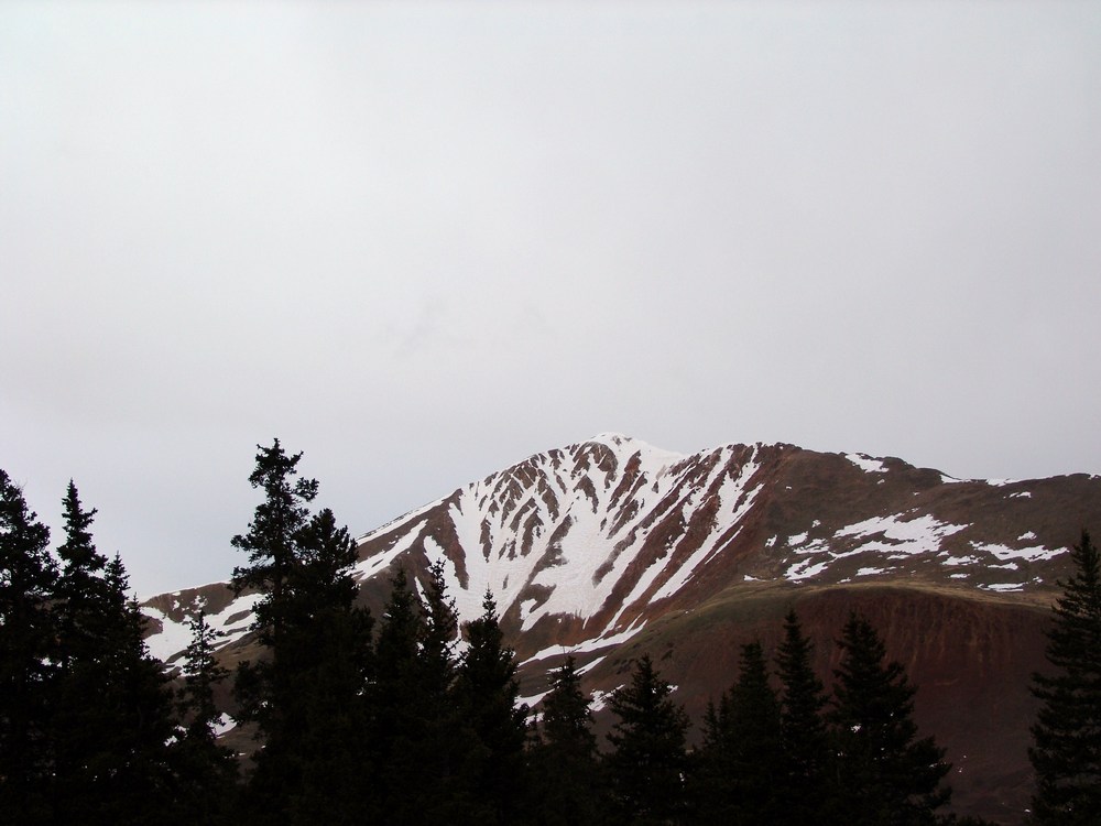
Additionally, as we gained elevation we could see down the Baldwin Gulch valley where we came from.
The road we were hiking on was full of snow drifts pretty much the whole way up, making a very formidible barrier for all of the miners that make this mountain their home during the summers. I'll come back to that later.
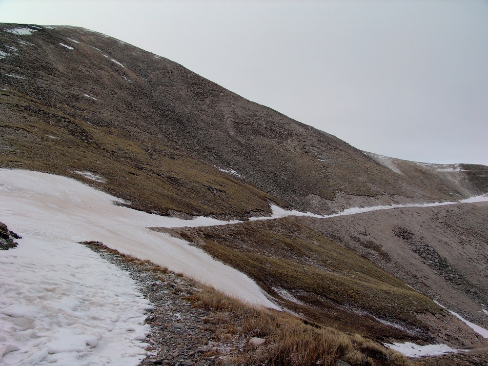
Antero loomed above us and was shrouded in shadow for much of our ascent. We spotted some elk on the road as we climbed, which was a very surprising but welcoming sight in the cold morning.
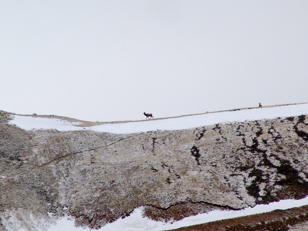
The elk stayed on the road for quite awhile as we approached and we came within 200 yards of them at one point.
Finally, we were able to get to the top of the first ridge that separates the Baldwin Gulch from Brown creek valley. Numerous jeep trails cross and intersect on this part of the mountain, which did deter somewhat from the spectacular views of Shavano and Tabeguache:
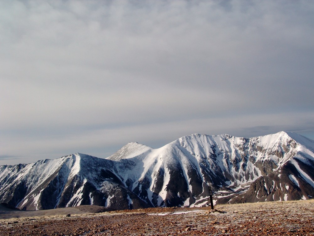
At this point we decided to take a "short-cut" up the ridge by doing some boulder-hopping, which is quite challenging with trekking poles, something I've not grown accustomed to yet.
Looking back from the ridge we were climbing you could see the large basin/ridge we had came from that leads to the upper Brown creek valley.
The northern Sawatch range broke out in the distance from the ridge we were climbing, and we could see that the weather was going to cooperate for us today.
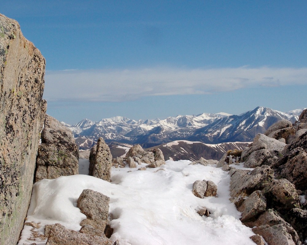
The sun was finally cresting over the ridge at this point and was quite the contrast to the snow we were hiking on. The sunglasses were quickly dug out of my jacket and worn for much of the rest of the hike.Once we reached the top of the ridge we could see our final destination - the summit of Antero. Unfortunately, the wind at this point was maddening and brutally pounding our faces. We estimated that for the remainder of our climb, the wind on the ridge and the summit was about 50 MPH and gusts were up to 70 MPH. This, combined with 25 degree weather, made for a wind chill of about 5 degrees. My thin gloves were not cutting it at all, and my hands were punished. The North Face pants and jacket I was wearing were doing a superb job of keeping the rest of my body warm; however, and I was able to alternate keeping one hand in my pocket while using the other hand to hold both of my trekking poles.
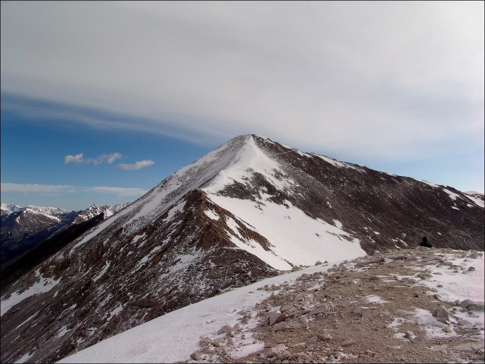
We continued up the ridge, covered mostly with snow. The snow was hard enough to walk on and postholing was kept to a minimum, although, at one point, I did sink to about chest level in a snow drift.We continued up the ridge towards Antero, using the small rock formations as protection from the wind. The heavily fortified sections of rock were welcoming as the wind was beating them with a loud fury. I was really qutie impressed with the way in which the rock stopped the wind and created such amazing sound.
Here is a video I shot from the windy ridge:
Another great picture opportunity presented itself to me about halfway up the ridge, and I stopped to see if I couldn't capture it. My photography skills are not that good, but I think this picture came out pretty well.
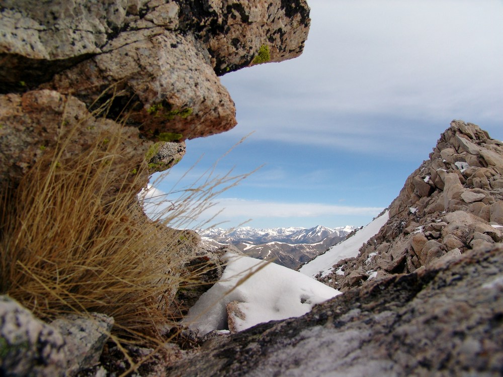
Pictures from the rest of the climb did not happen because taking a picture in the wind and steep snow would have surely ended tragically for me. It was all I could do to keep my balance in the slippery, steep snow with the wind beating me down. At one point I lifted my hand up to my face and the wind caught my trekking pole and slammed it right into my face. The wind really was quite incredible. At one point I really felt as though I was on some epic climbing expedition.
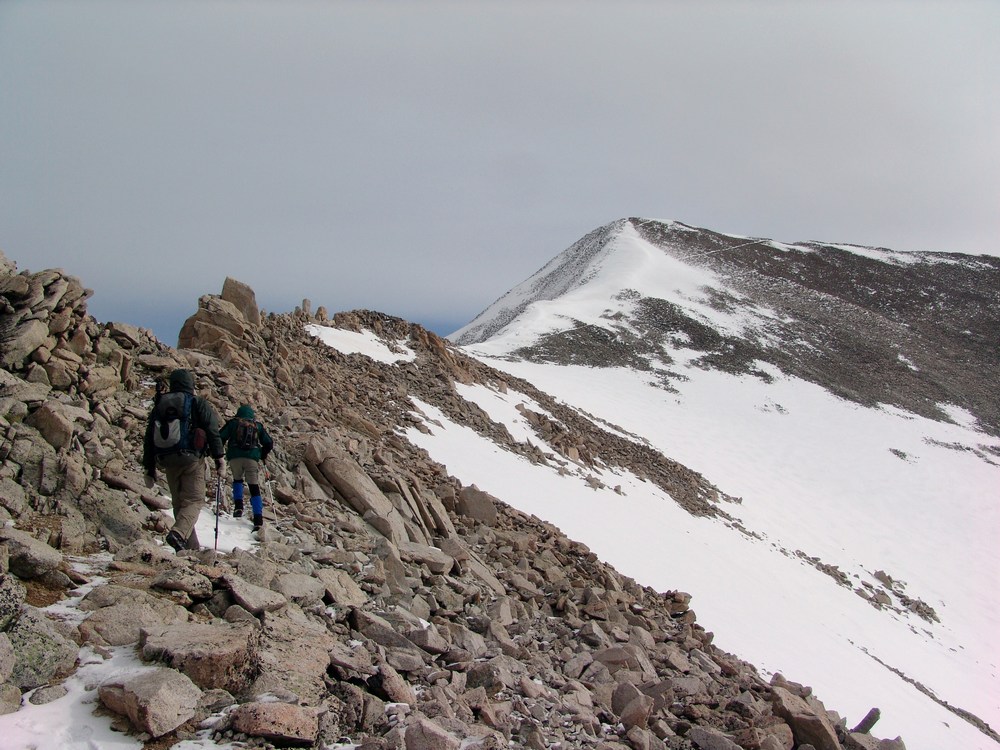
I was able to summit a few seconds after a gentleman that had passed us right near the top. I took his picture and waited for Randy to arrive a few minutes later. Daniel took his time and was able to summit about 10 minutes after Randy.
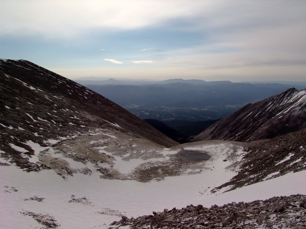
A small lake near the summit of Antero.
Once Daniel was on top, I asked him to take a few shots of me, which gave me a chance to pose. Something about being on the top of a high mountain reminds of you of the corny scene from Titanic.
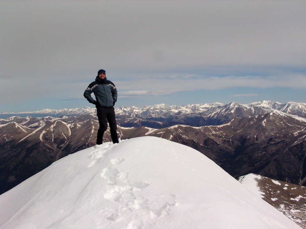
Poor Daniel had lugged a tripod to the top and never used it, but I took full advantage of it! I took a nice pano from the top, but unfortunately because of the wind, it was really hard to get it straight. The pano I ended up with was only partial, but still impressive nonetheless.

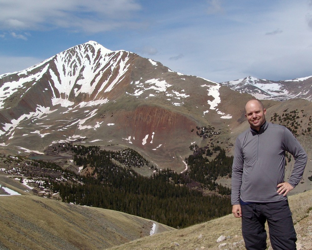
On the way back down I got one final shot of myself posing in front of Cronin. When we neared the stream crossing where my jeep was crossed, we encountered a gentleman that was shoveling the snow from the road. We theorized that he was an aquamarine miner based on his decor and by some of the things he said. It sounds like there's quite the mining operation on Antero in the summer.
We made amazing time back to the bottom and my Jeep made it across the stream easily - thankfully!


