Two such examples of this are Pigeon Peak and Vestal Peak:
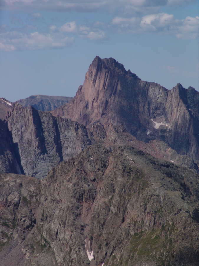
Pigeon Peak as seen from the summit of Vestal Peak
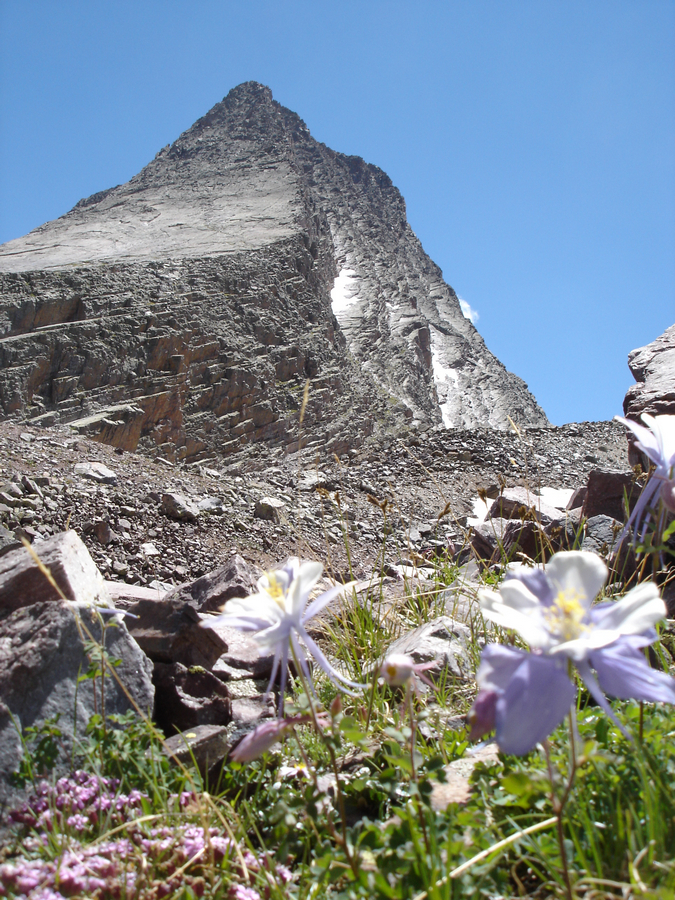
Vestal Peak
The San Juans are home to the Weminuche Wilderness Area, defined by many as the State of Colorado's finest outdoor paradise. This wilderness area encompasses nearly a half million acres. Subsequently, several summits within this mountain range are not visible by any road. Access to this wilderness area is generally strictly available by backpacking only.
The San Juans is also home to the Mount Sneffels Wilderness Area, one of the most pristine and photogenic areas of all of Colorado.

Find out the avalanche conditions in the Northern San Juans
Find out the avalanche conditions in the Southern San JuansFind all summits in the San Juan Mountains
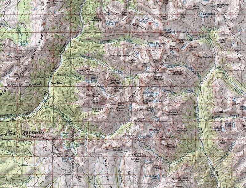
This map shows the Grenadier Range, West Needle Mountains, Needle Mountains, and the heart of the Weminuche Wilderness Area. Some of the most rugged summits in Colorado are in this area, including Vestal Peak, Storm King Peak, Pigeon Peak, and Turret Peak. It is also home to the Chicago Basin, which provides access to the three popular 14'ers of this area - Sunlight Peak, Windom Peak, and Mount Eolus. Most hikers choose to ride the train and backpack in from the train stop.
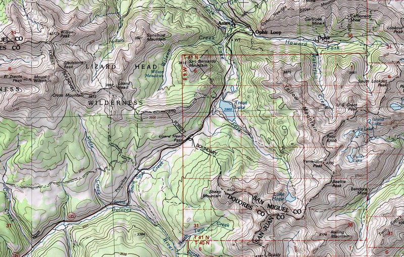
This map shows the San Miguel Group, which includes Mount Wilson, Wilson Peak, El Diente Peak, and Gladstone Peak:
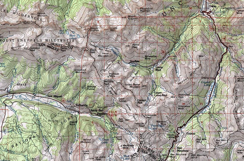
The next map shows the Mount Sneffels Wilderness Area, including Mount Sneffels, Dallas Peak, the Yankee Boy Basin, and the town of Ouray, which offers one of the world's premier Ice Climbing Parks.
Here is Matt Payne ice climbing near Ouray:
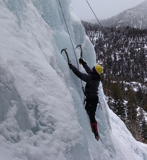
The Sneffels Wilderness Area, February 2010:


