Displaying items by tag: Leadville
Climbing French Mountain and Frasco Benchmark - two hidden Collegiate 13ers
With only a small handful (10) of the highest 100 mountains in Colorado (Centennials) left to climb, I have become quite picky about my approach to choosing the trips I embark on. For my first climb of 2017, I chose to ascend 13,940 ft. French Mountain and its soft-ranked neighbor, 13,876 ft. Frasco Benchmark. These are two fantastic 13ers hidden in the Collegiate Range between Colorado's highest mountain, Mt. Elbert, and Colorado's 2nd highest mountain, Mt. Massive.
A KML file and overview of my hike are available over on GaiaGPS - which is my absolute favorite iPhone app! You can purchase it here and help support the site.
This was my 5th time in this basin for a climb, and hopefully the last (prior trips included climbs of Casco, Massive - twice, and Oklahoma). The crowds have become overwhelming due to the proximity of Colorado's two highest peaks. I drove in from Durango on a Friday afternoon, arriving around 10 PM to find only one flat spot to park my car at the trailhead for French and Oklahoma near South Halfmoon Creek. I slept in my car. I fear that one day these areas will be placed on a permit system due to the over crowding and popularity of 14ers (probably with no help from yours truly in writing these reports). The lack of respect for other people and the environment has become tragic. Within 50 feet of my parking spot at the trailhead, I found several areas where people used the bathroom and left toilet paper just laying right there on the surface - all within 10 feet of the creek, no less. C'mon people. Anyways...
This particular area will always have a special place in my heart and mind. I climbed French / Frasco Benchmark's neighbor, Casco Peak, on July 5th, 1986 when I was just 7-years-old. When my dad and I reached the summit, we noticed weather moving in but it did not seem too threatening. About 15-minutes later, our friend Dave arrived and asked if we heard the sound coming from the lightning rod. We found the long metal rod protruding straight up into the sky near the summit and it was humming with electricity. I remember wearing a ball-cap with one of those small metal bulbs on the top and it was humming too. We all raced to get off of the summit, and the lightning and thunder began to crash around us, with rain pouring down on the rocks. We all made it safely down the wet granite rocks, but it was my first exposure and experience with lightning and it always left an impression on me, later informing my trepidation and habits around start times and weather awareness in the mountains.
I set my alarm on this trip for 4:30 AM, hoping to avoid afternoon thunderstorms. The alarm sounded and I quickly got ready to go. I decided to wear my Chacos for the first 200 feet of the hike since I would have to cross South Halfmoon Creek, which was raging with about 3 feet of depth. My feet became ice cold, but welcomed the comfort of dry socks and shoes right after the crossing. The beta for this climb was pretty straight-forward - hike up the road until it terminates at the Iron Mike Mine and then ascend straight up the south face of French. Pretty simple! The ascent up into the basin where the Iron Mike Mine at was pretty steep at first, and required a second stream crossing after about a mile. The first light behind me to the east was pretty fantastic though.
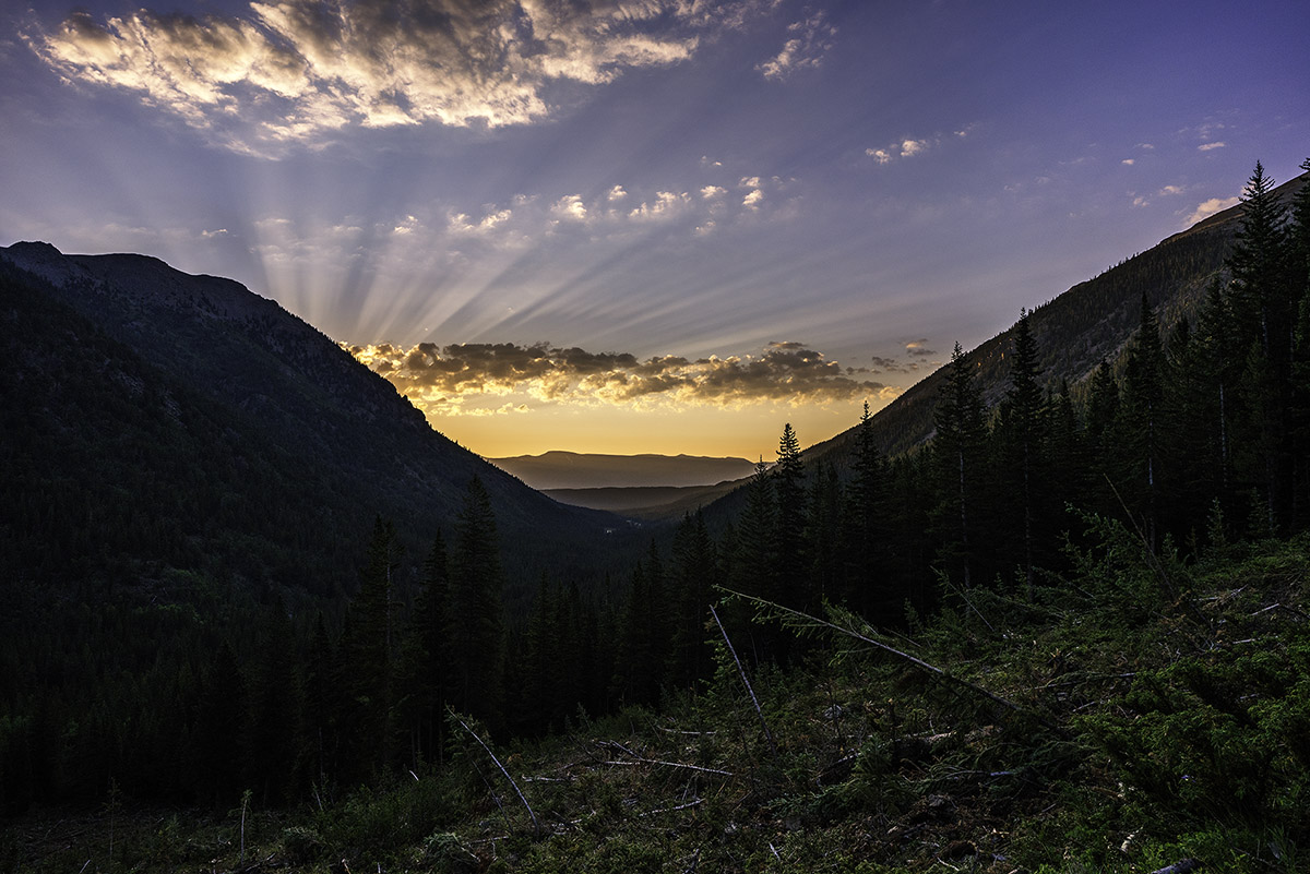
Once up near tree-line, the whole basin opened up to reveal Casco Peak, French Mountain, and a whole lot of willows.
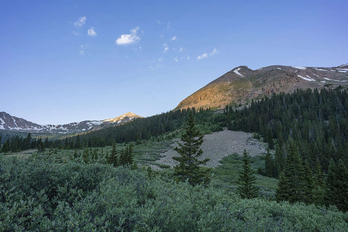
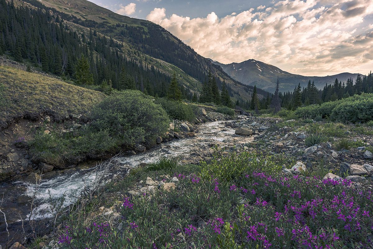
The clouds to the east were still magnificent above Mount Massive, seen here paired with Alpine Fireweed wildflowers in the foreground.
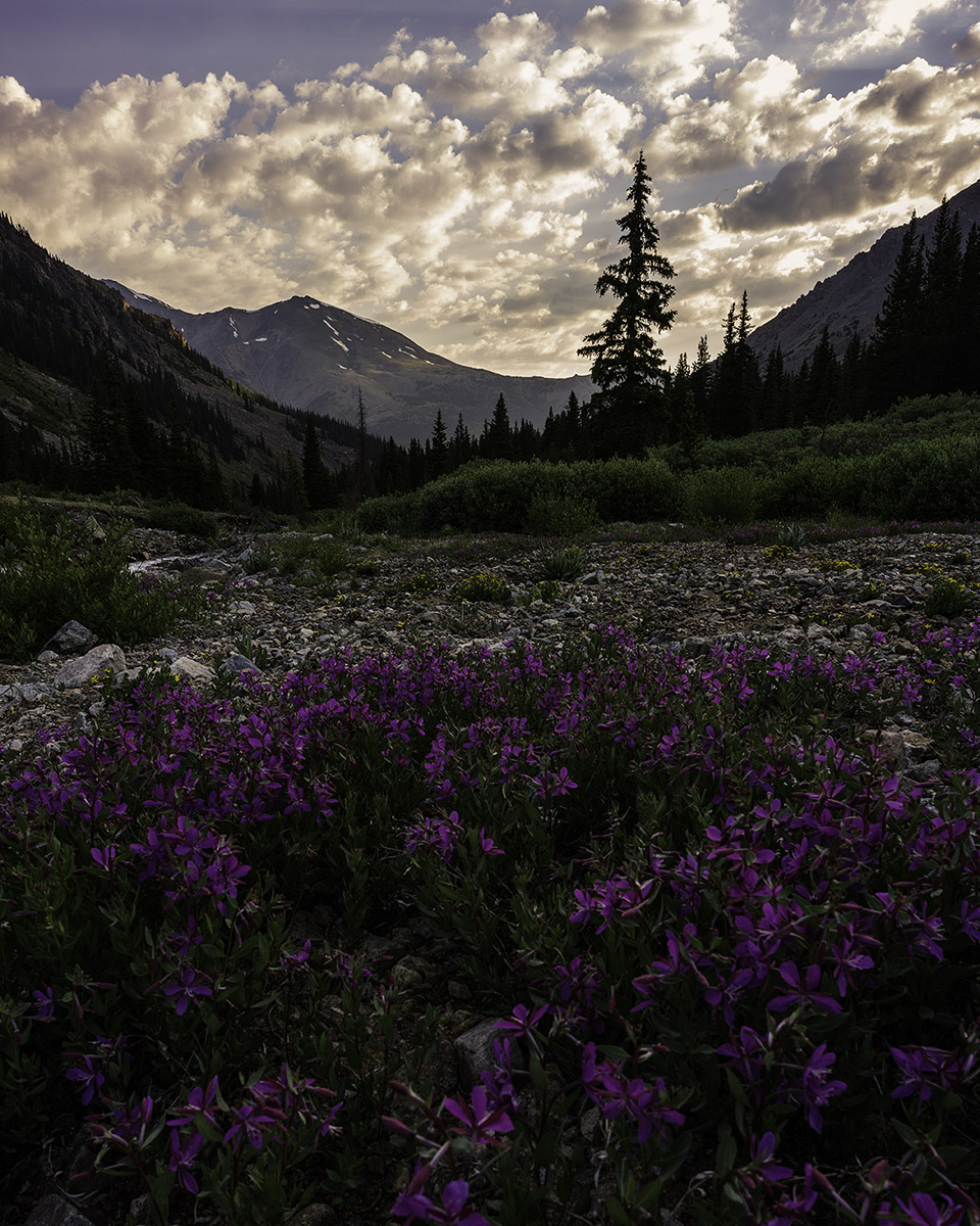
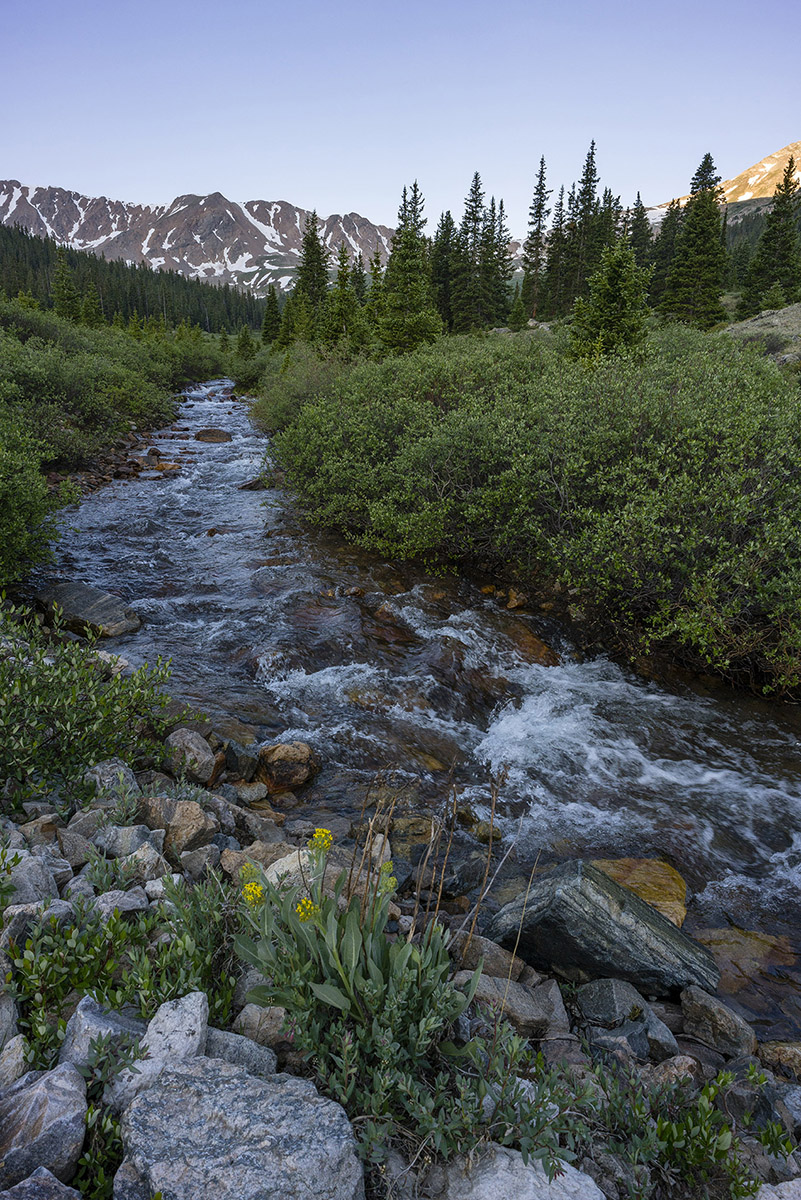
South Halfmoon Creek's headwaters were much tamer at the higher elevations and provided an excellent lead-in for the upper basin.
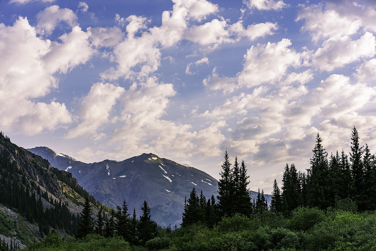
As I continued hiking up the road, my gaze kept returning to the east, where the clouds danced with the mountains.
The southern shoulder of Mount Massive was a prominent feature that constantly kept me looking back at it. I have fond memories of climbing Massive in early winter conditions in October of 2009.
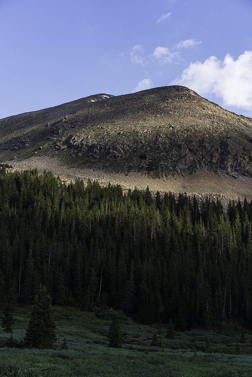
As I climbed higher into the basin, the sun cast some interesting light on the southeast face of French Mountain, offering a preview for what was coming soon.
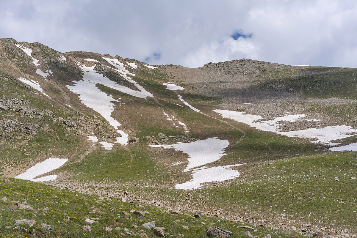
Above treeline, the route up French became quite obvious. In the photo below, you can see the route quite nicely - I basically went straight up, left of the snowfields and then crossed to the middle between the two snowfields and then up to the saddle.
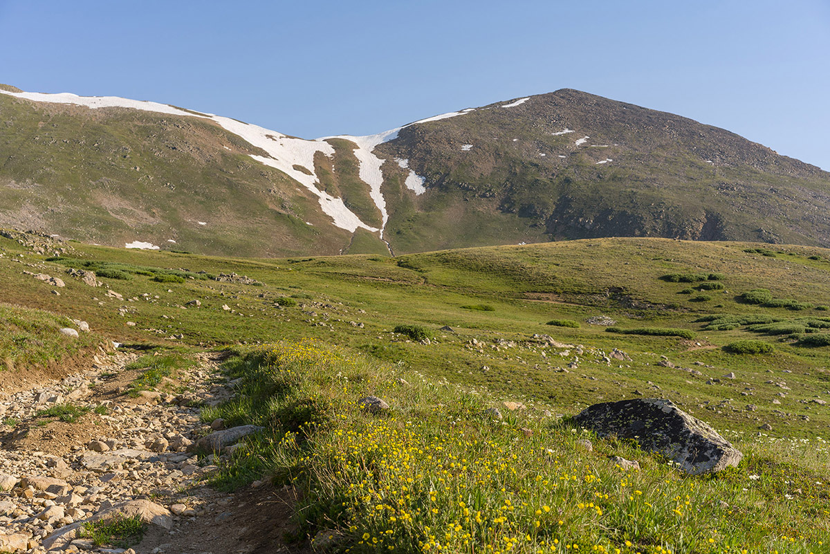
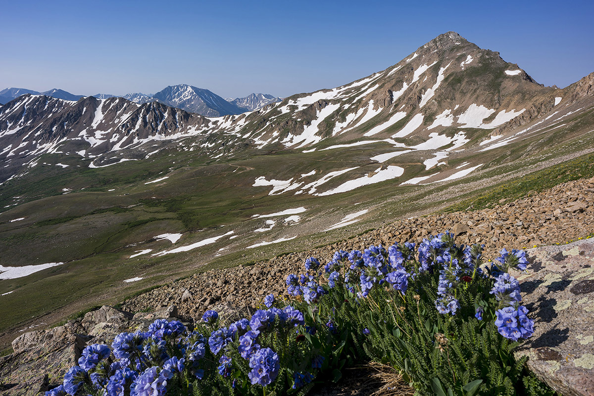
My legs were feeling great, and I pushed hard to make good time up French's south slopes to find this nice grouping of Sky Pilot flowers with Casco Mountain (right) and La Plata Peak (left).
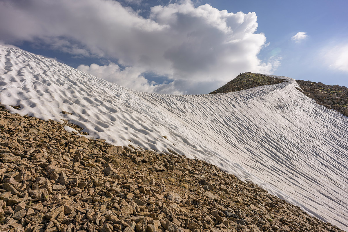
Upon reaching the saddle, I saw there were two other climbers ahead of me. Just two climbers. I love 13ers.
I chatted with the two climbers, who were doing French, Frasco, and Casco. They asked if I was doing the same. I explained I had already done Casco and that I was just hoping to get French today. They were really nice guys. Reaching the summit of French was about as straight forward as you can get on a mountain climb, as a simple and easy trail went from the saddle to the summit. The views were spectacular.
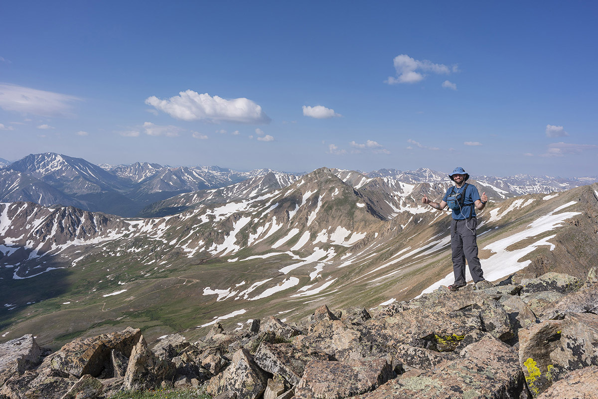
Once on the summit, I plowed through some lunch and took a panorama looking north/west/south, including La Plata Peak, Grizzly Peak, Casco Peak, Frasco Benchmark (middle), and the Elk Mountains in the distance (Snowmass, Maroon Bells, Capitol).

La Plata Peak commanded my attention - I just love the gnarly view of it from this side. The Three Apostles including Ice Mountain are seen left of La Plata (and comprise 2/10 of the Centennials I have remaining).
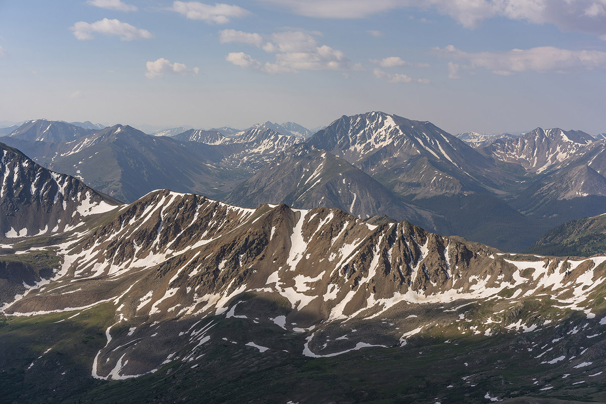
The view of the Elk Mountains from this part of the Collegiates has always been something I greatly appreciate as well. Snowmass Mountain (right) is an all-time favorite.
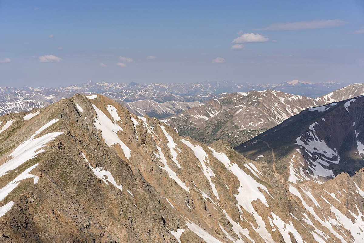
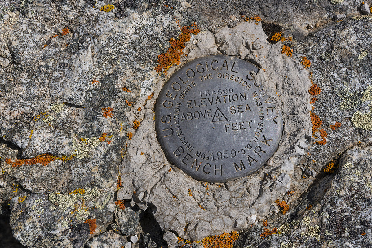
I decided to make the trip over to Frasco Benchmark, which was surprisingly quite enjoyable with some minor scrambling along the ridge. The benchmark was pretty obvious, but I was left wondering why they just say Frasco and don't include the elevation... oh well.
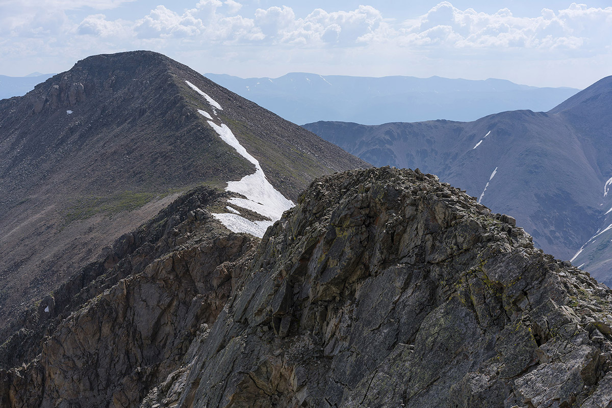
A look back at French from Frasco...
From Frasco, I really enjoyed the view of Casco Peak and began to see that clouds were forming for the daily afternoon thunderstorm. I was glad I was not continuing on to Casco. I really like this photo for some reason - the balance between La Plata (left) and Casco (right) is compelling.
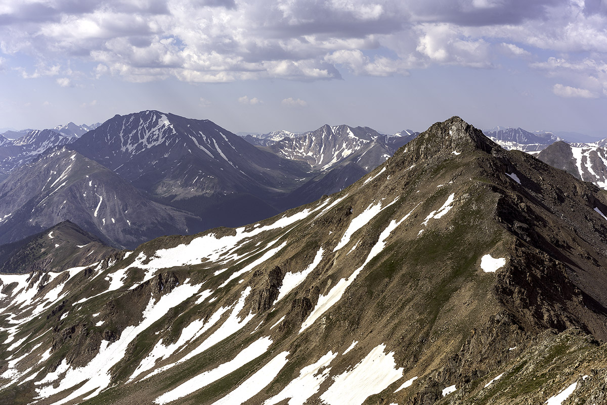
I decided to go straight down what Roach describes in his 13ers guidebook as the "Fiascol" couloir between Frasco Benchmark and Casco Peak. It was pretty much what you'd expect - fun scree and dirt boot skiing. I kind of like this terrain - I can go really fast down it! As I descended, I took a photo of Casco Peak - it looked like the storms were going to hit soon.
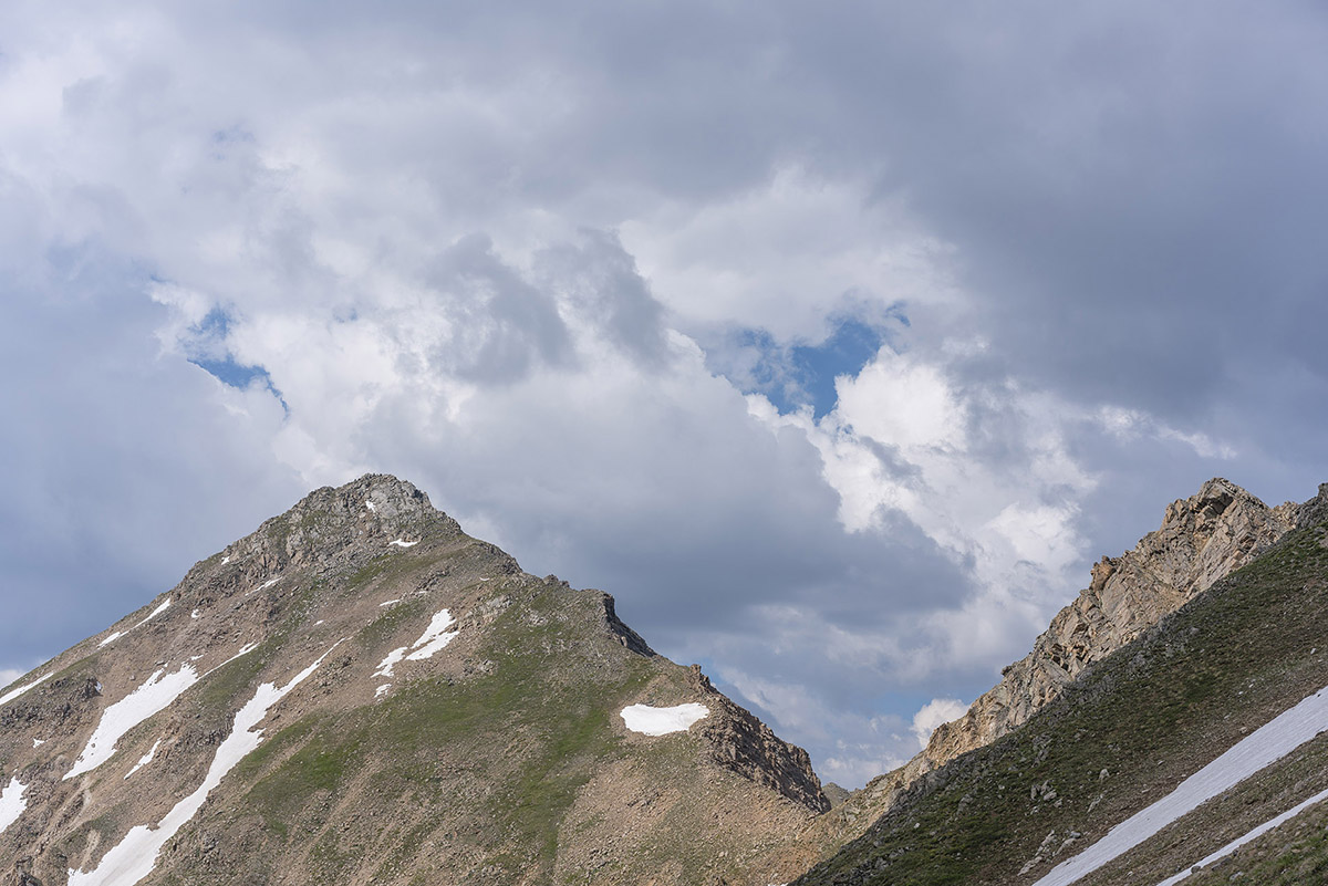
Once down the scree field, I took a photo looking back up the gully - nothing special, but it shows the route!
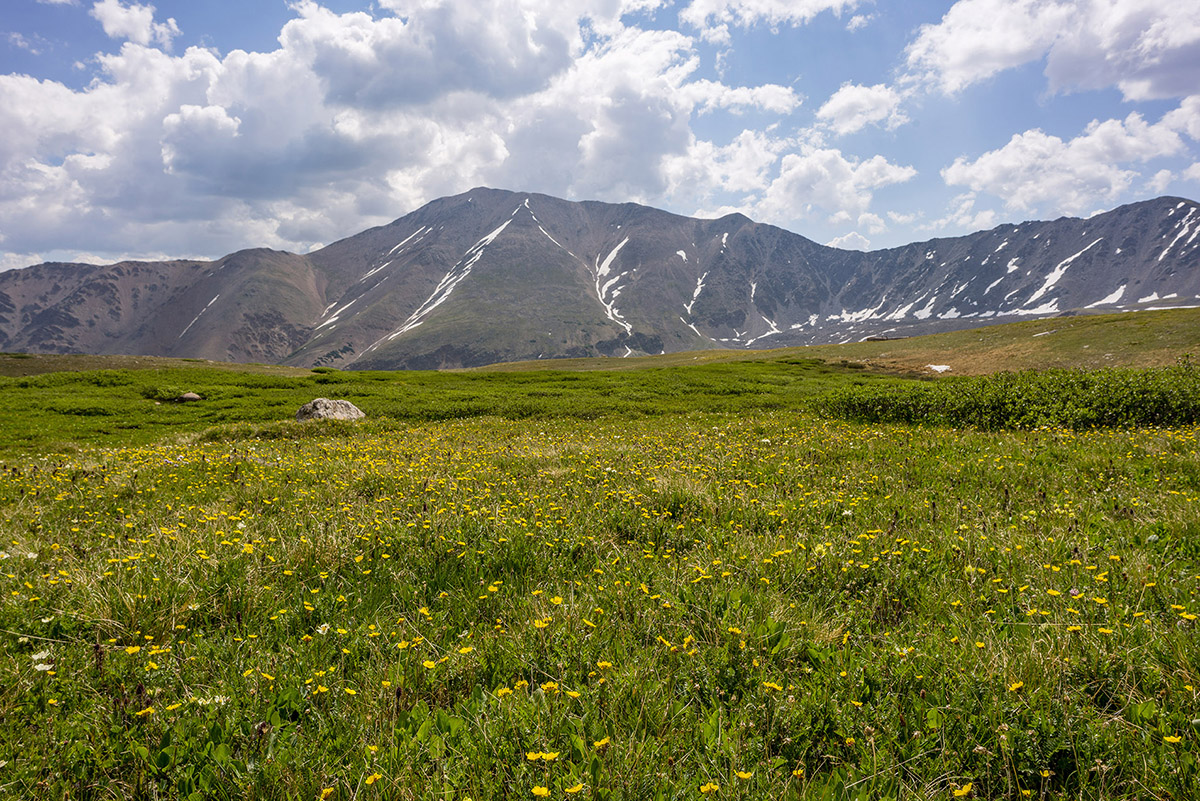
Back near the Iron Mike Mine, I found a huge field of wildflowers which made a nice foreground for Colorado's highest mountain, Mount Elbert.
After reaching the car, I drove out and decided to drive to Colorado Springs to enjoy my 20-year High School Reunion. I'm old.
If you are wondering what kind of camera gear I take with my on my climbs, check out this page - it has links to all of my gear, which is now a mirrorless system to minimize weight and maximize my ability to reach those summits. Reach out if you have questions!
Hope you enjoyed this trip report! Next up: No idea!
Again, links to my GPS track are at the top of the trip report. Until next time...
Climbing Mount Massive - Enjoying Colorado's 2nd Highest Peak - Again
I had fully intended to climb the Centennial French Mountain this weekend, but plans change. My climbing partner Sarah and I left Colorado Springs at around 3:45 AM and reached the North Halfmoon Creek Trailhead at 6:15 or so. A pretty late start for this guy! In order to climb French Mountain, we would need to cross North Halfmoon Creek and head south. When we reached the creek, it was easily up to our waist and I had no intention of driving my Jeep through that deep of a creek crossing. A decision was quickly made to abandon our attempt on French Mountain and head up the scenic and steep Southwest Slopes route for Mount Massive. Since I had done this route back in October of 2009 (trip report here), I knew the way and was fine with repeating it, especially since my partner still needed to climb Massive. We parked the Jeep and packed up and readied ourselves for our first climb of the year. I was hopeful that I would make it to the top (you might think I'm joking) because the last mountain I had ascended was Pyramid Peak, which was my 14er finisher last year. I was also quite eager to test drive my new photography equipment, since I had not really had a chance to take it on a real climb yet. For this hike, I wielded my Nikon D800 and my Nikkor 24-70 f/2.8 lens, a heavy combination to be sure. Would the extra weight of a full-frame DSLR and the quite heavy yet amazing 24-70 be worth it? I was hoping so.
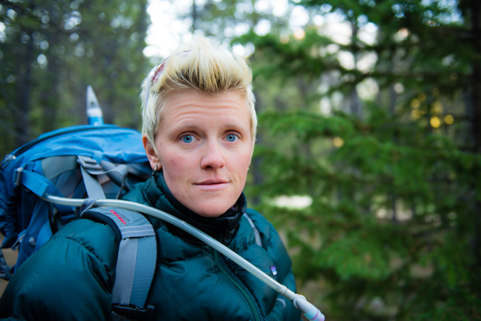
Sarah posed nicely for me so I could document the day's beginning and in turn she took a shot of me, looking weary.
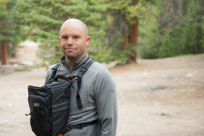
For the sake of ease, I decided to leave my tripod behind. The sucker weighs 5 pounds and I figured it would not be something I could use a whole lot on this hike. Good choice.
Sarah and I traveled up the basin towards Mount Oklahoma, which I climbed last year. I was beginning to get quite familiar with this area! Mount Oklahoma was looking quite nice and seemed to be holding quite a bit of snow as compared to last year, which was nice to see.
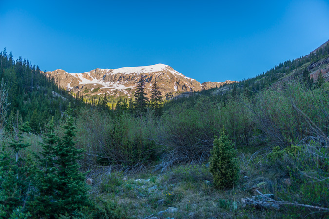
Mount Massive's south slopes are pretty darned steep but also a very pretty backdrop to the Colorado blue skies that we have been sorely missing due to all of the wildfires this year.
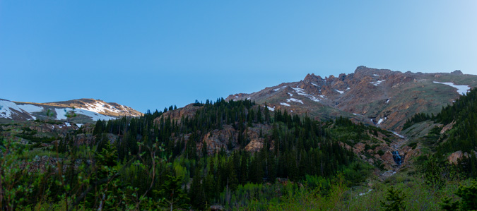
As we continued up the basin, we stopped periodically to look back up the basin that we would have gone up to climb French Mountain, pictured here.
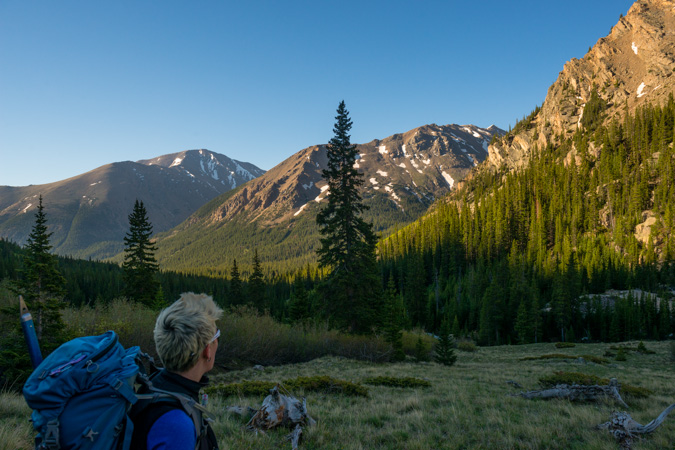
The trail going up towards Oklahoma and the turn-off for Mount Massive is very straight-forward and well- maintained. For a season starter, it was a nice change of pace.
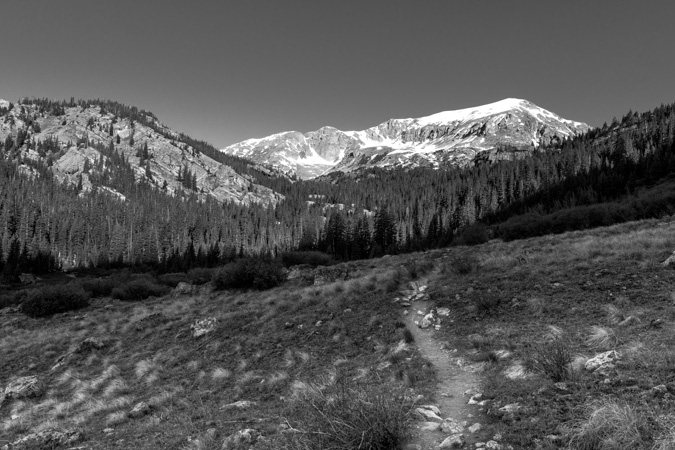
We finally reached the turn-off for Mount Massive, pictured here where Sarah is pointing up.
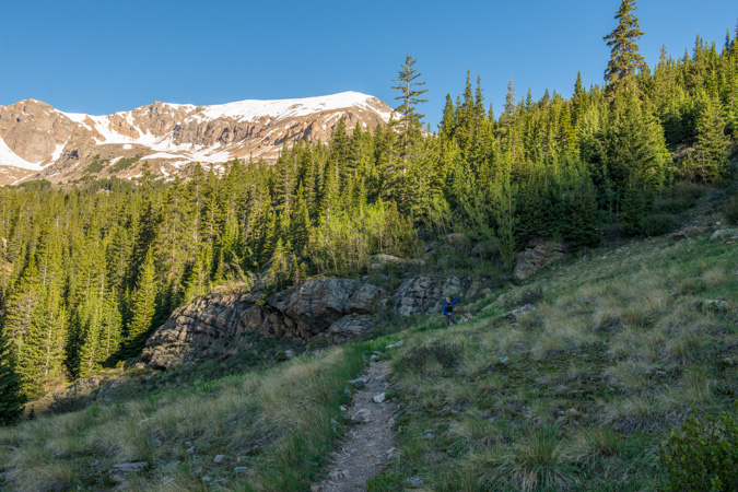
This trail gets you up Massive in a hurry, no doubt about it. It is fairly steep, but in very good condition almost the whole way up. I think that Colorado 14ers Initiative did some work on this trail some time back, and it certainly shows. The trail switches back up the side of Mount Massive several times and affords awesome views of the valley below and the awesome peaks across the way, including Colorado's highest, Mount Elbert.
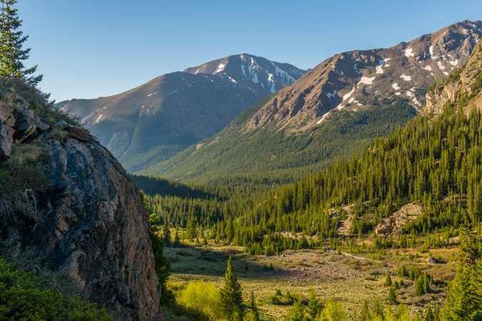
As we approached tree-line, we decided to stop for a snack and water break.
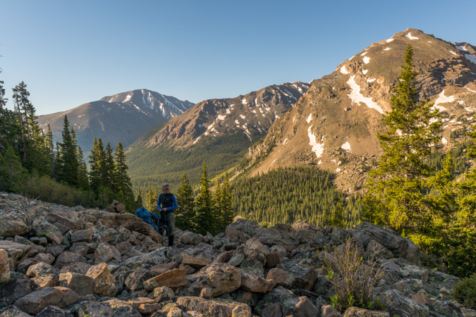
I have Sarah take a photo of me posing with my Rocky Mountain Field Institute (RMFI) water bottle. I'm a very proud member of the board of directors for RMFI. If you're not familiar with RMFI, you need to check them out! If you've ever climbed Humboldt, Crestone Peak or Crestone Needle, then you're familiar with the work they have done in the backcountry.

After re-fueling, we decide to keep on trucking. The trail winds steeply up the slopes and kept on delivering us with awesome views to our south of Deer Mountain and Mount Champion.
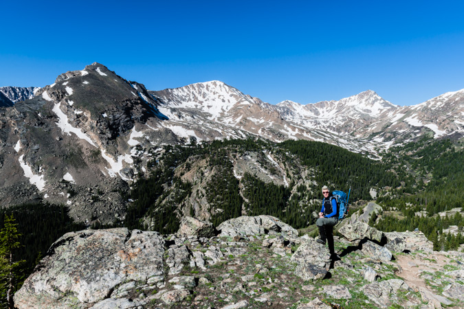
The whole valley below made for a very nice panoramic. From left to right - Mount Elbert, French Mountain, Unnammed pointy peak (but Sarah and I later dubbed this a very foul and childish name to keep up entertained), Mount Champion, Deer Mountain and Mount Oklahoma.

We took our time going up, being the first climb of the season. We enjoyed the views, the company, the conversation, the wilderness.
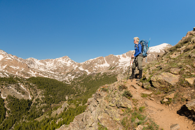
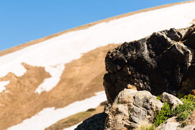
We were even able to locate some wildlife, albeit your normal fanfare of chipmunks and marmots.
Getting a day to spend with Sarah was awesome. She's one of the most dynamic and fun people I've ever met. Our personalities go together quite nicely. It is also great to see her in high spirits when we're hiking.
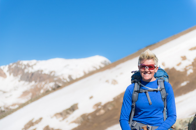
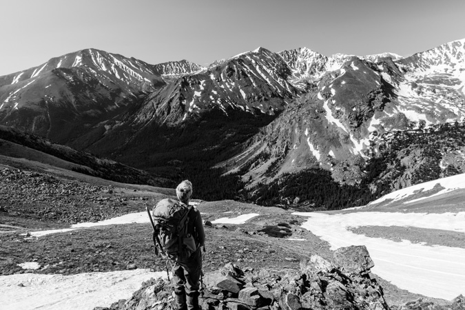
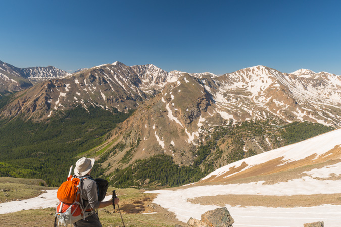
We took a lot of stops to soak in the Sawatch Range glory, and the weather was holding quite nicely.
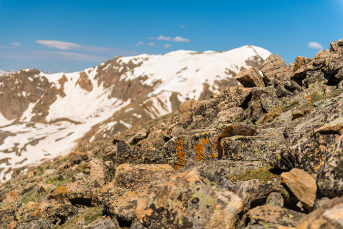
Here's that stealth marmot. I think he thought if he layed down I would not see him. Nice try pal.
Finally the tips of the distant Elk Mountains were coming into view. They seemed like they were holding a lot of snow as well.
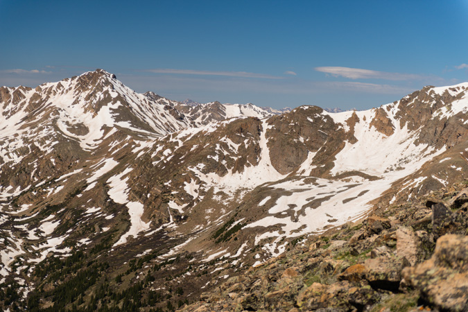
And looking back, Twin Lakes was starting to come into view.
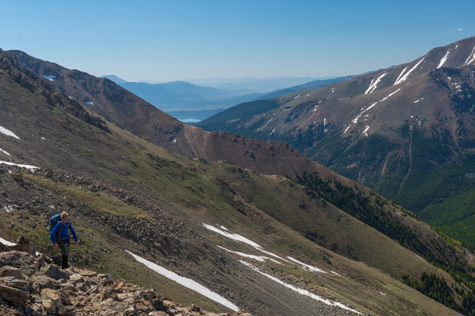
This is always my favorite part of hiking. Above tree-line, no wind, sunny day. What more could you ask for than a day like that on the side of a 14er? Sarah seemed to be enjoying the views as much as me.
We stopped for a bit to enjoy the killer views of the Elk Mountains, which are some of my favorites. The tips of the Maroon Bells, Snowmass and Capital were poking above the top of Mount Oklahoma to the west.
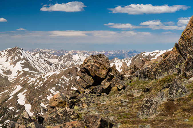
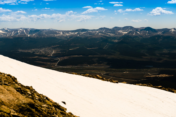
From here, the trail continues up the southwest slopes and crosses east at the ridge. The town of Leadville comes into view to the east.
And of course the summit of Mount Massive to the north, with a lot of people coming down.
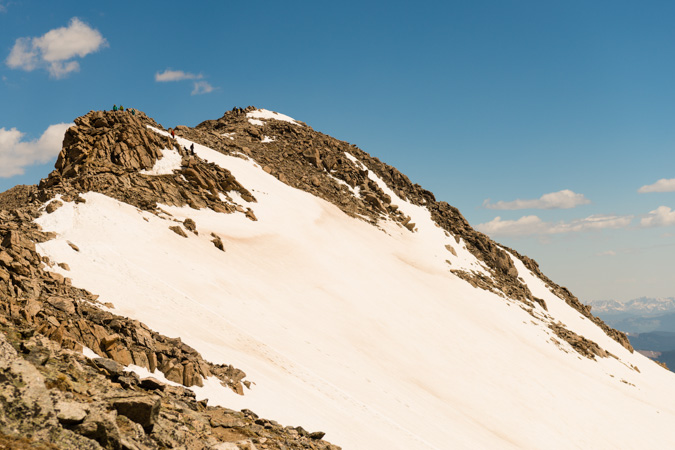
After a quick stroll over to the summit, victory was ours. We were able to almost completely avoid snow for the entirety of the hike up, minus a few snowfields below and some minor snow at ths summit. This was Sarah's 24th 14er and my 60th I think. It was awesome sharing the summit with Sarah again.
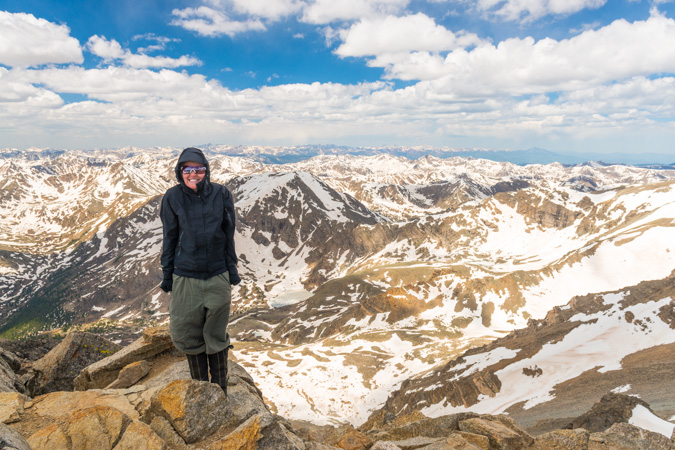
On the top, we ran into a group of gear testers from Osprey packs. We were immediately filled with envy that their job was to test the comfort of packs while hiking 14ers.
From the summit, I decided to try out some long exposure photos using a 9-stop ND filter, specifically, the Hoya ND400 77mm filter. Esentially, an ND filter is a black peice of glass that goes over you lens, which allows your shutter to stay open for a long exposure in daylight conditions. This allows you to capture photos of the clouds moving, and other awesome effects. Since I was shooting for a 30-second exposure, I would need my camera to be sturdy. To acheive this, I fashioned a flat suface out of rocks to rest my camera on.
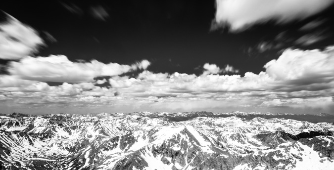
I was also able to perform a hand-held panorama at 70mm looking west at the Elks.
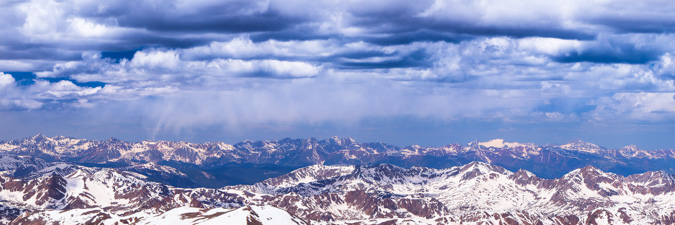
And here's a larger version looking south to north at 70mm:

And lastly, the 360 panoramic taken at 24mm:

I had Sarah snap off a few shots of me before we head back down.
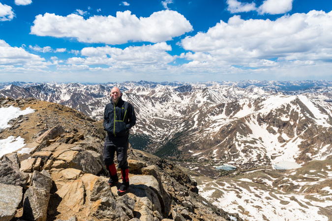
A solo gentleman joined us for the descent, mostly because he was looking for the trail, which he had lost on the way up the same route we came up. I could have sworn this guy was Taylor Lautner from the Twilight movies. A few notes about my camera and lens selection. I felt like the pairing did well. While they were heavy, it was easily mitigated by the front-loading Lowe Pro pack I used and the quality of the photos was superb. The Nikon 24-70 afforded just the right amount of flexibility in range, I rarely felt myself wishing for a longer lens. Had I saw some true wildlife, I would have loved to have my 300mm f/4 lens with me, but it would have added weight to an already heavy set-up.
After taking summit photos, we head back down pretty quickly. I wanted to travel quickly, so I put my camera bag in my main pack and did not take it back out for the rest of the hike down. Once back at the trailhead, we saw a Toyota FJ cross the stream. Go figure.
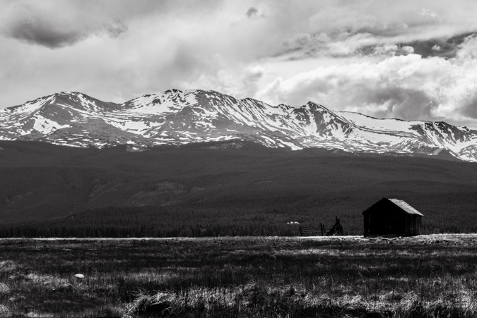
We drove back out towards Leadville and stopped to take a few photos of an amazing flower field in front of Mount Massive and an idyllic abandoned cabin. I hope you enjoy my parting shots:
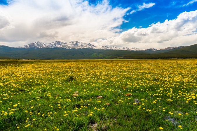
Panoramic version...
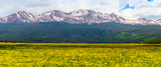
Abandoned cabin...
This concludes the first trip report of 2013. I apologize for the lack of updates lately. I have been quite busy working on my photography business, where I sell prints of my work. You can check it out by visiting www.mattpaynephotography.com
Mount Elbert - A Stroll Up Colorado's Highest
Mount Elbert – 14,433 ft. – ranked highest in Colorado, 2nd highest in the contiguous United States (highest is Mt. Whitney at 14,505 ft.)
I had originally planned on climbing Snowmass mountain with Terry this weekend, but my wife’s mother, Donna, asked me a few weeks ago if we could give a 14’er a shot. Donna has been reading my reports here for awhile and I think she was bitten by the 14’er bug. As she had never done a 14’er before, I did some research on the ‘easier’ 14’ers and figured that Elbert would be a good choice due to the gentle elevation gain and relatively high start. In retrospect, I probably should have chosen Sherman or Quandary.
We left Colorado Springs around 6 PM on Thursday 8/27/09 and arrived at the South Elbert Trailhead around 9 PM. We set-up camp and went to sleep. The alarm woke us up at 4 AM and we quickly got ready.
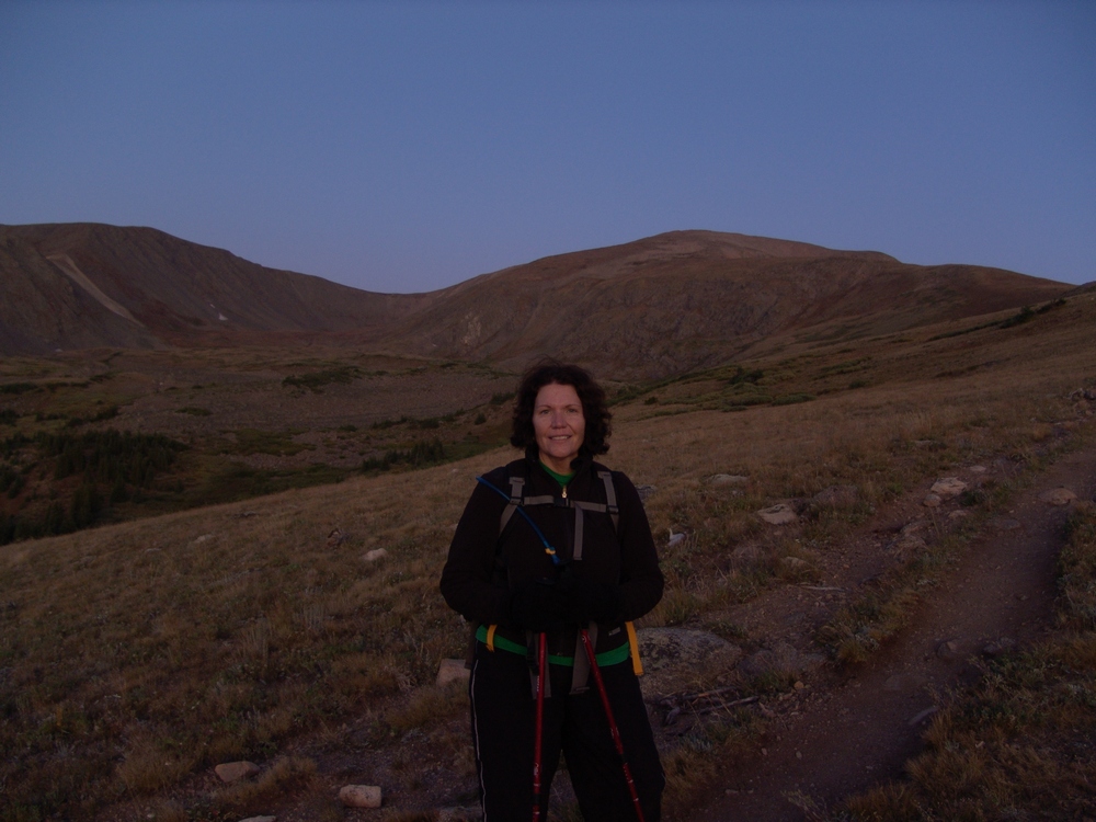
Hiking in the dark was no doubt an interesting and new experience for Donna. We started up the Colorado Trail and then up the South Elbert Trail. The start of this trail is pretty steep and took us by surprise. I did not anticipate the route to be this steep, but Donna took it in stride. As this was her very first climb, I gave her lots of time to rest and take-in water as needed. I stressed the importance of drinking lots of water to her and she definitely listened. We were able to reach tree-line before sunrise. I must admit, the view of Twin Lakes Reservoir was really impressive from this trail. Here’s a shot of Donna with Elbert behind her just before sunrise:
Donna kept our pace nice and steady and we were able to get sweet views of Elbert and the surrounding area as the sun hit the tops of the peaks. Here’s a pano looking east, south, and west:

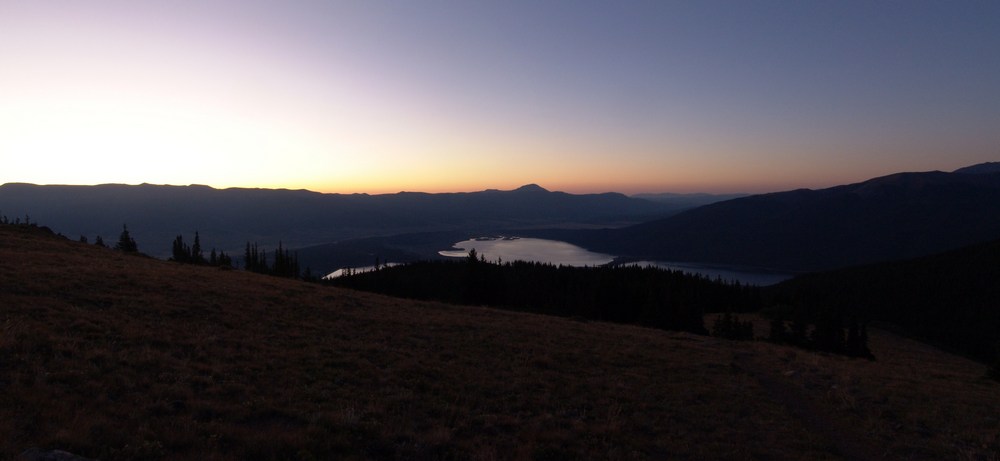
The sunrise was really beautiful. Twin Lakes really was an awesome sight:

We continued up Elbert.
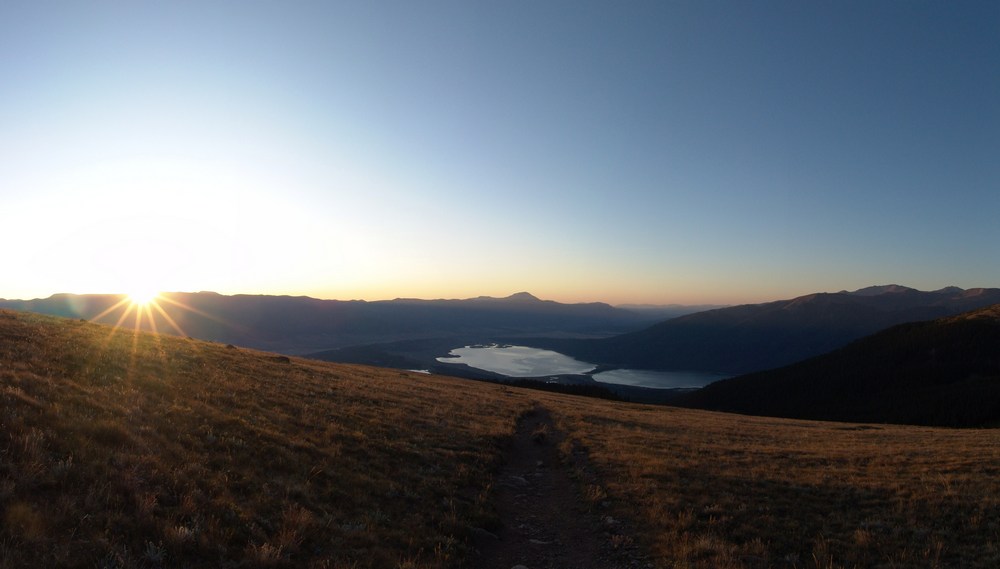
Here’s Donna with the Lakes behind her:
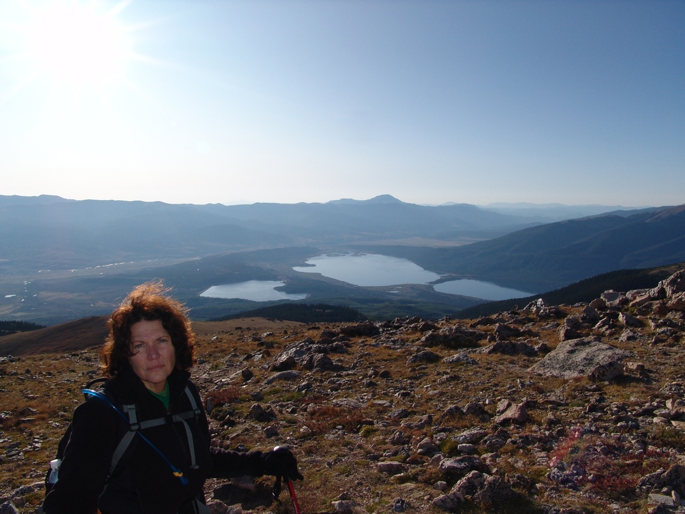
The trail was very clear. There seemed to be quite a bit of erosion and I would suggest that other hikers try to stick to one main trail so that the tundra can recover. We kept climbing and the views of the Lakes just got better and better. 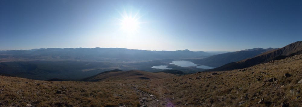
Elbert is like a giant pile of rocks. It has very little in terms of distinguishing features other than its a really big, pile of rocks.
Unfortunately, the higher we got, the more ill Donna became. I thought that acute mountain sickness(AMS or altitude sickness) might happen, but had hoped that she could fight through it. She finally stopped climbing at 13,750 feet, an impressive first outing! I was really rooting for her, but I totally hate the nausea that AMS gives you, so I totally understood why she would want to stop.
Donna told me to go ahead without her, so I climbed the rest of Elbert quickly. Donna’s decision to stop proved to be a good one, as there was quite a bit more mountain to hike up than I originally thought. It took me about 30 minutes more to get to the summit, where I was greeted by two Austrian gentlemen, one smoking a cigarette, and the other drinking a Bud Light. They kindly took my picture: 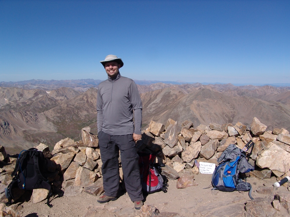 I was really excited to see the Maroon Bells in the distance, and took tons of pictures of them. They are very aesthetically pleasing to me, one of the coolest sets of mountains I have seen.
I took quite a few photos from the top but did not stick around very long because I wanted to get back down to Donna. Here’s some panoramic shots of the view from the top. This one is looking east and south:

And this one is looking east, south, and west:

And then looking north, west, and south:

I quickly hurried back down and found Donna down-climbing about a half-mile from where I had left her. We slowly went back down, which was very enjoyable – the colors were changing and the day was PERFECT – weather was awesome and the start of fall was in the air. Here’s some fun pictures I took of the early fall colors that were changing in the tundra on Elbert and the surrounding mountains: 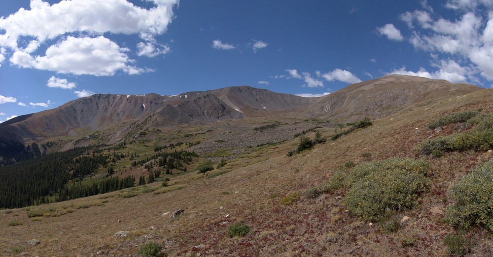
We made it back down to the Jeep successfully and I think Donna had a very good time on her first mountain climb. I really hope she tries again and is able to feel the great thrill that is the top of a high mountain in Colorado!
{fcomment}


