Displaying items by tag: Broken Hand Pass
Climbing Crestone Needle in Autumn and a Fall Colors Photography Expedition
It is no secret that I moved to Portland, Oregon in January 2014 – lured by a much more walkable city than Colorado Springs, filled with breweries, vegan food, and citizens of a much similar political and philosophical mindset. I’m not going to lie though; I miss my friends and I miss the Colorado Mountains deeply. I was born in Colorado and have been climbing Colorado’s high peaks since 1982. The mountains run deep within my veins. So, when I knew I would be spending a week in Colorado over the last week of September, I jumped all over the opportunity and locked in a three-day backpacking stint into the South Colony Basin beneath Crestone Needle and Crestone Peak in the mighty Sangre de Cristo Mountains with my best friend Sarah Musick. Our goals were simple: enjoy the wilderness, enjoy our time together, and climb mountains.
Packing for a longer backpacking trip involving a lot of photography gear with limited space in the backpack due to travel constraints was quite a challenge. I decided to use my Osprey Talon 44 (hardly a backpacking pack) and go as light as possible, opting to take two lenses paired with my Nikon D800: the Nikon 14-24 and the Nikon 24-70. I really wanted to bring my Nikon 70-200 for wildlife and other landscape uses; however, that lens weighs a ton and takes up quite a bit of space in the pack, so it had to stay behind for this one. I felt pretty good about the weight of my pack after it was all said and done – weighing in at just 40 lbs. - with a tripod, two lenses, a gripped D800, filters, a tent, pad, sleeping bag, gloves, hats, food, and stove. Not bad! Sarah would be bringing a water filter and a gas canister for the stove, so we were good to go! Bare-bones backpacking – always a little nerve-wracking, but easy on the back and knees!
The final challenge to solve before ensuring a successful trip was to secure transportation. My wife and I left a car in Colorado; however, she needed it for work as she telecommutes from Portland but when we are in Colorado she drives into work. In the 25th Hour we were able to get Sarah’s wife to let us use her Subaru Forester for the somewhat difficult South Colony Road, which I had driven successful many times in the past in similar vehicles. With all the details finalized, we departed from my parent’s house in Colorado Springs at around 10:30 AM on the morning of September 21st for the picturesque South Colony Basin. We arrived around 12:30 PM without incident. I left a small bag of raisins and a half-filled water bottle in the cup-holders below the dash, saving them as a prize upon our return on Tuesday. The parking lot was sparsely filled, mostly by what seemed to be trucks and SUVs of hunters or day-hikers, based on the people we passed on the trail on the way up.
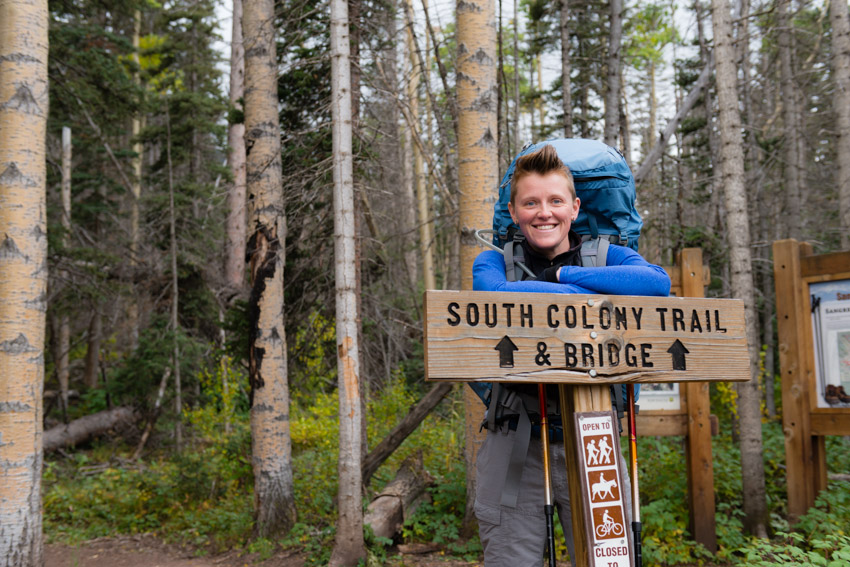
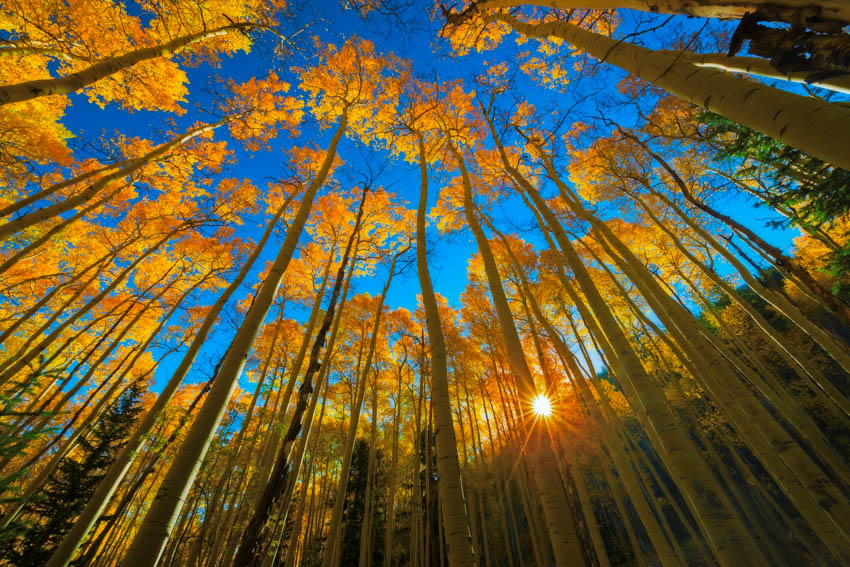
Upon starting our hike we were immediately struck by the amazing fall colors that had adorned the aspen trees and scrub oak lining the sides of the trail (which is really the remnants of an old 4WD road which was closed in 2009 at the current terminus of the South Colony Road).
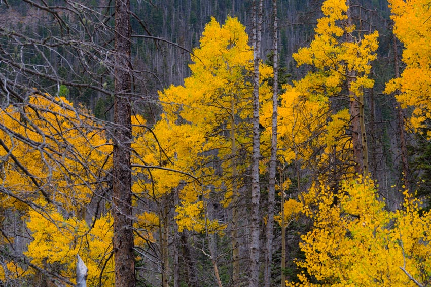
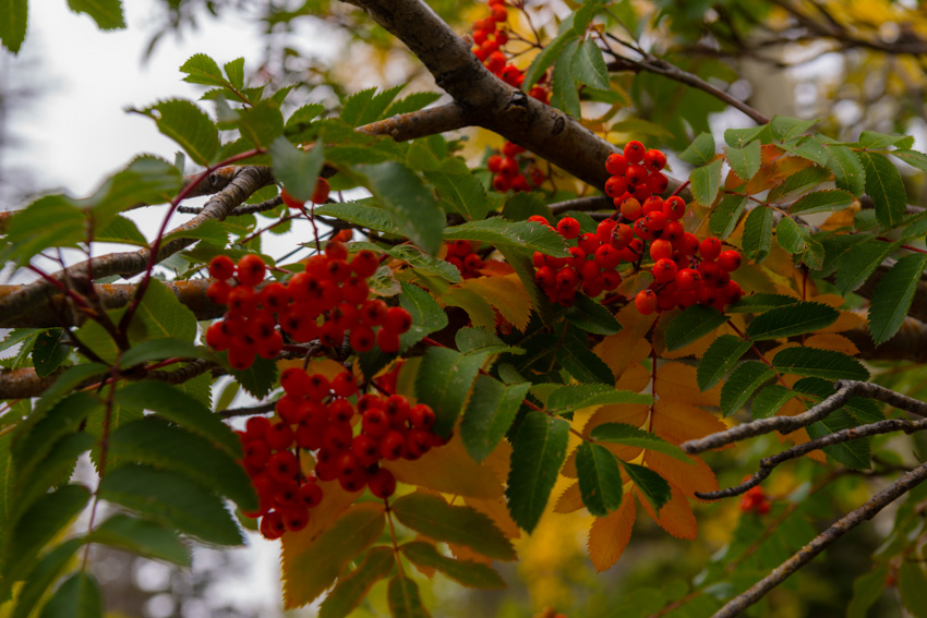
The trees were nearing peak color – hues of yellow, gold, crimson, and green filled the air, all held tight by a low layer of clouds which came all the way down to the valley floor. The formidable clouds were ubiquitous and ominous – a clear and mostly unwelcome portent for the events yet to come on our voyage into the Sangre de Cristo Wilderness.
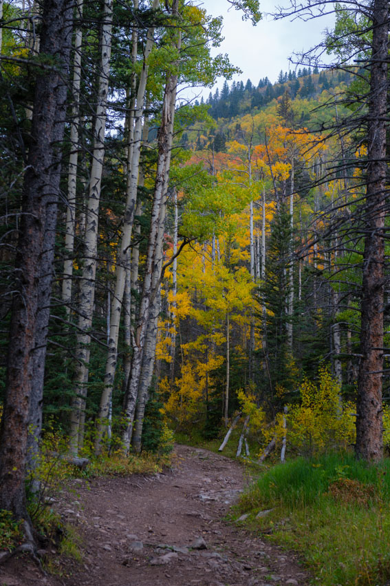
This was the third time I ventured up this particular trail, the first being on my ascent of Humboldt Peak in 2007 with my friend Ethan – the first 14er I climbed after a very long hiatus from climbing in my twenties and the first real shift towards a healthier lifestyle. The second time was during my visit last year as the Vice President of the Board of Directors for Rocky Mountain Field Institute (RMFI), the non-profit organization responsible for amazing conservation stewardship in the South Colony Basin including the construction and maintenance of the entire incredibly well-built network of trails leading to the 14ers in the area. Due to the popularity of this pristine and ecologically sensitive area, there are numerous campsites and social trails littered across the basin which have required a lot of hours of hard labor from RMFI staff, volunteers and Earth Corps students to clean up and maintain these sites and trails. If this basin is important to you in any way, I would urge you to donate to RMFI to ensure the area is available for the enjoyment of future generations. You can check out the amazing work they did in the South Colony Basin in this video:
Our hike up the old road was completely uneventful, having passed a few hikers on their way out, presumably there to enjoy the changing fall colors for the day. The wooded basin offered up a plethora of sensory delights – red and orange berries, earthy scents from the rotting leaves, fresh and clean air blown in by the weather system that had settled into the basin, and a humid wetness on the skin. Given the wet and stormy weather that had moved into the basin, our hopes of accomplishing anything more than finding a suitable campsite for the three days we would be there had dissolved and our focus was singularly placed on locating our temporary home. We joked about just staying in the basin forever, and how that might work – living in a cave in the side of the mountain, finding food, sewing clothing out of marmot pelts, and even speculation about other issues which caused us to laugh heartily.
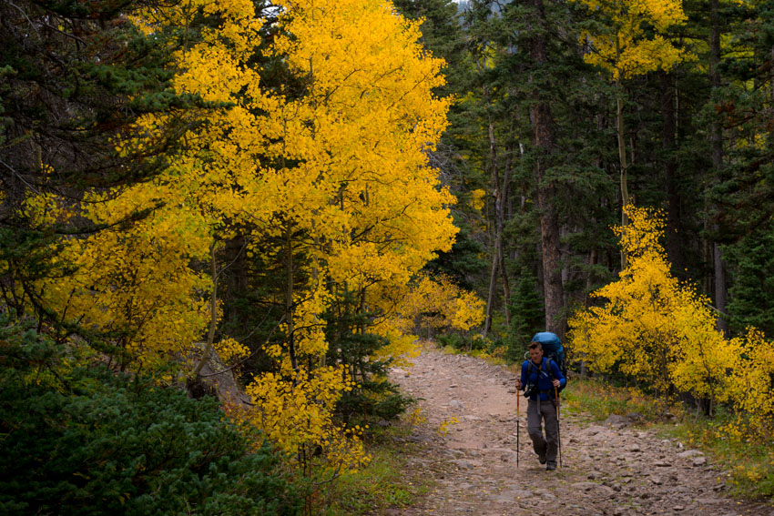
Every other time I had been into the basin I had taken the first trail on the right from the old upper 4WD parking lot, which is more direct and steeper than the trail going over the footbridge which goes directly to the trail leading up to Broken Hand Pass. For this trip, we opted to take the trail over the footbridge so we could easily find the connecting trail to Crestone Needle. Knowing from other adventures into the basin that the trails were connected higher up by way of a network of trails between campsites near where I took one of my favorite shots of Crestone Needle last year with a stream in the foreground, we decided to aim for that area to camp at. Even though Crestone Needle was completely hidden within the very low clouds, finding the location was easy since my image from that spot is burned into my memory, being one of my absolute favorite photographs of all time. We unpacked right there at the site just above the stream from this location and placed my tent on a dry and flat area near an old fire ring at the campsite. The tent site had cracks in the soil, indicating that this might be a place where water pooled; however, we understood from the weather forecast that we were to only expect about a quarter inch of rain over the next couple of days, so we felt safe to put our tent there. This turned out to be a horrible mistake!
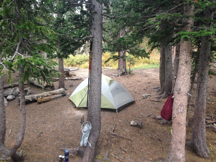
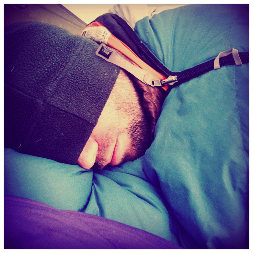
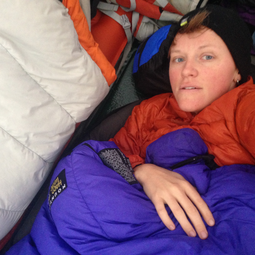
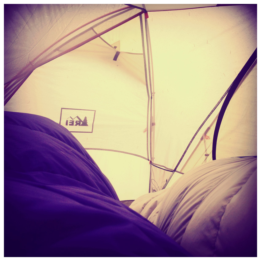
Shortly after getting our tent setup and our food hung in a nearby dead tree, the rain began. Hooray. I was somewhat dreading the rain, having spent the entirety of my previous backpacking trip in Colorado in a tent for four days below Jagged Mountain last September. I did not want a repeat of that trip, not even in the slightest; however, I welcomed the opportunity to catch-up on some much needed sleep and to spend time catching up with Sarah. Sarah took many opportunities to document our sleep adventure...
 |
 |
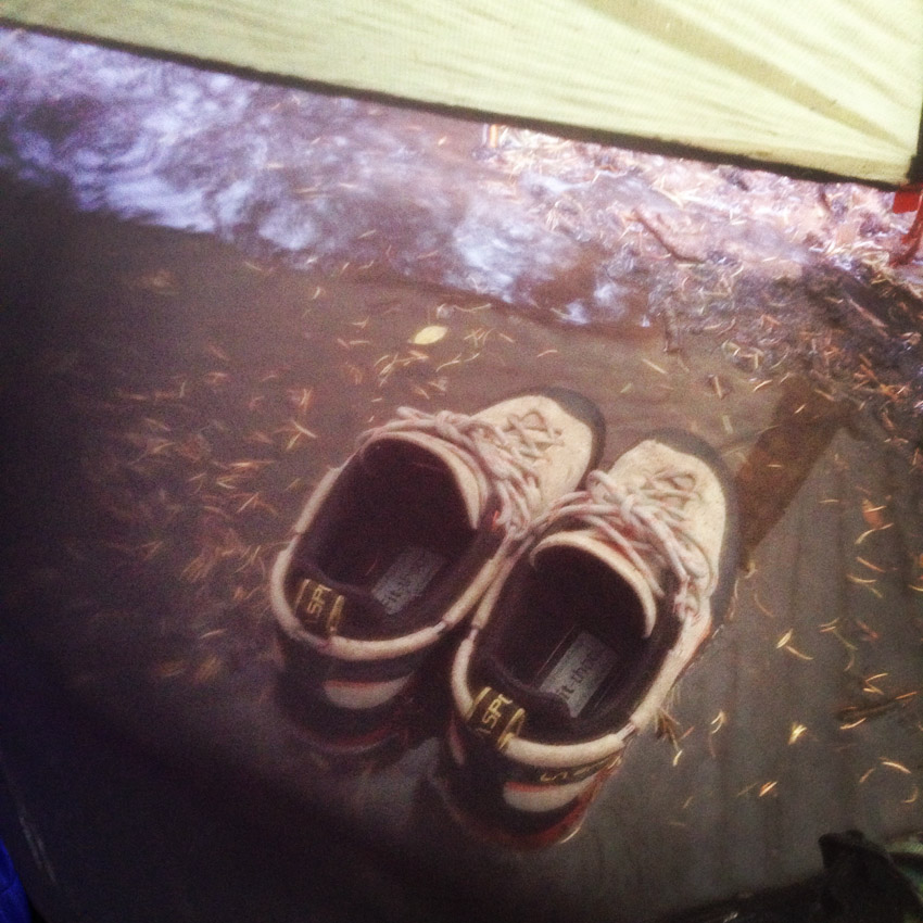
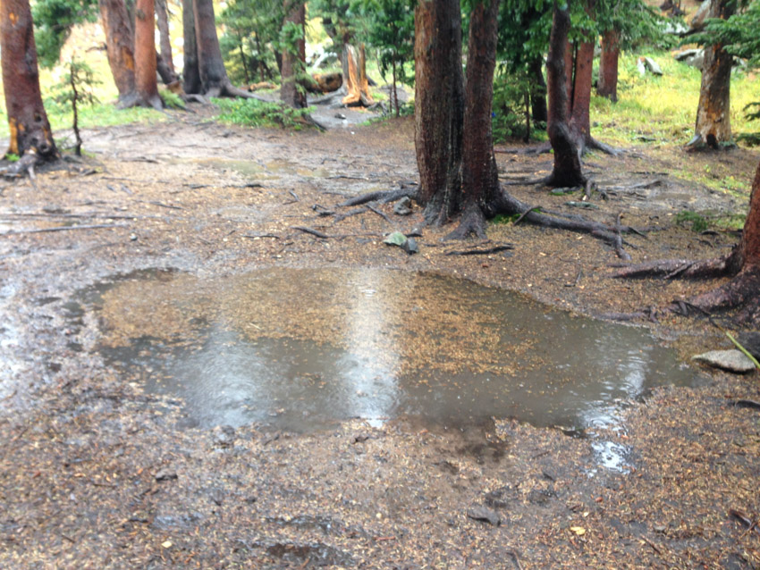
The rain and strong wind was unrelenting, a shock for sure. We kept an eye on our tent situation, finding that water had quickly begun to pool near and around the base of the rainfly. We napped off and on as the rain continued and in the early evening we began to take notice of the water situation with a greater level of concern. Sarah noticed that water had begun to seriously pool under the tent and we decided to take action, despite the fact that the rain did not subside.
 |
 |
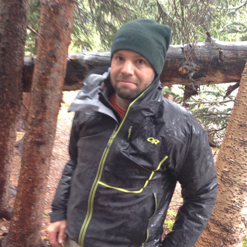
We hurriedly packed everything into our packs and relocated the tent down the hill under some trees on top of a nice soft bed of pine needles. Sarah documented the whole ordeal.
 |
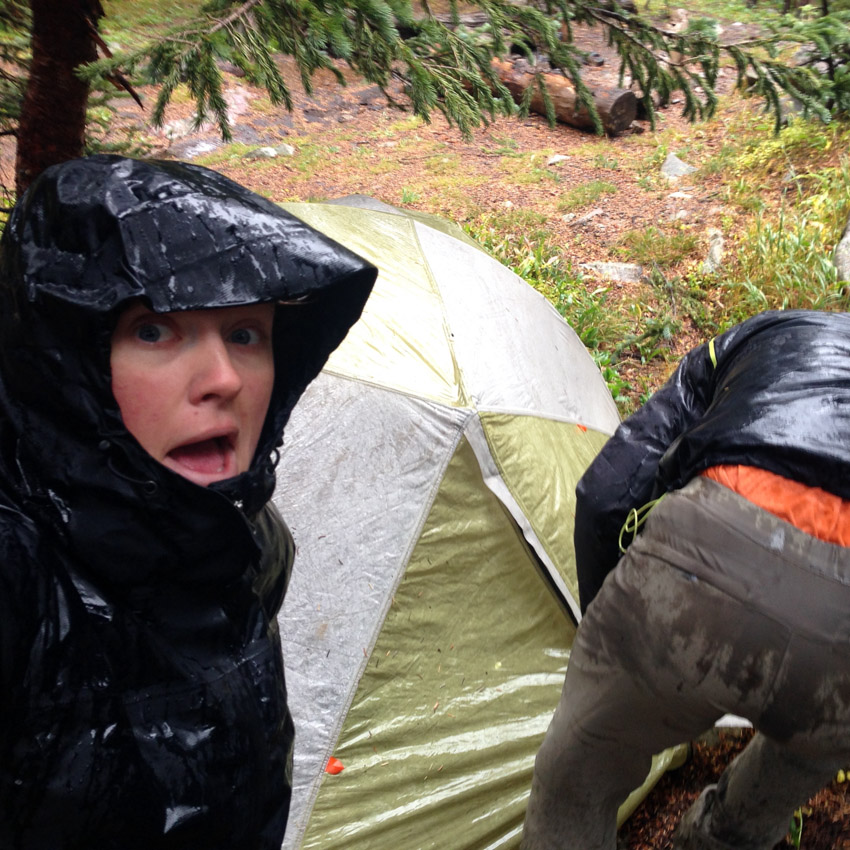 |
We felt quite lucky – even though the tent was on top of a lake of water; the inside had remained mostly dry! Consider this a tried and true endorsement for the REI Quarterdome – a truly versatile backpacking tent, not the lightest nor the heaviest tent around; however, it kept us dry and withstood strong wind without any problems. Our old tent's location now looked like this:
The rain stopped just long enough for us to heat up some food, which we took full advantage of, returning to our sleeping bags to stay warm. The valley was caught in some sort of weather system, trapping moisture, clouds, fog and wind in the basin and continually obscuring all of the peak right above us.
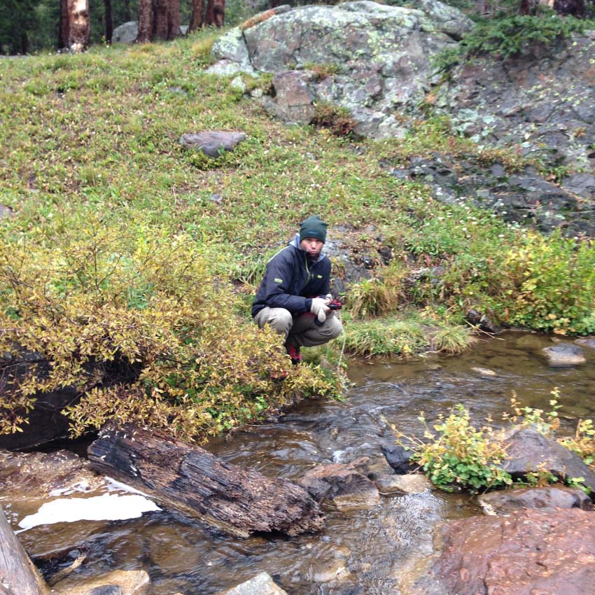
As darkness descended, we found ourselves in need of replenishing our water supply; however, Sarah’s water filter was not working, so we were forced to resort to using my old iodine tablets, which I keep in my first aid kit for such occasions. Drinking the iodine treated water brought back fond memories of working at Colvig Silver Camps in 2000 near Durango – I did not mind one bit. Here I am filtering some water in the rain.
We decided to set our alarm for 4 AM, hoping the rain would subside and allow for an ascent of one of the three 14ers in the basin. As we discussed our priorities for the trip, having climbed all of the 14ers already, I had very little to add, only hoping that Crestone Needle would be on the top of our list since it was my favorite 14er to climb. Sarah needed all three of the 14ers; however, she thought that she could save Humboldt for another trip and that Crestone Needle was high on her list. With that being said, we figured that aiming to climb Crestone Needle first would be a good idea... [Click Next to continue reading]
The rain did not subside and the wind increased in its fury through the night, rushing down through the trees in a cyclical pattern every 30-45 seconds in a violent yet harmonic nature, the sounds of the wind rushing through the pine needles creating a natural cacophony both aiding and preventing good sleep. 4 AM came and went without a break in the rain or wind, forcing us to sleep in, knowing we would likely have to scratch off at least one of the peaks from our list for the trip. Unfortunately, the weather did not subside until late in the afternoon, at which point we were both wearing from a lack of both caloric intake and physical activity; however, we decided to head up towards the upper basin and if we felt up for it, a climb of Humboldt. The basin was still mostly shrouded in clouds and fog; however, the hike up was quite pleasant, the cold and musky autumn air brushing our exposed faces, reminding us pleasantly of our sense of place and time.
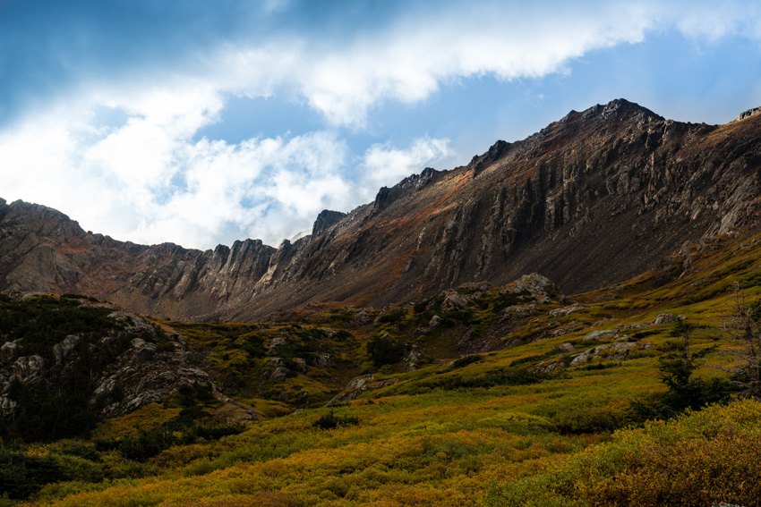
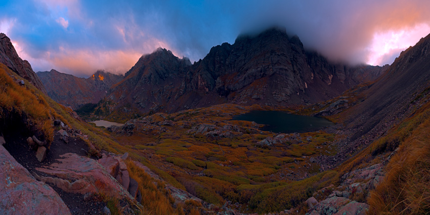
As we climbed further up into the basin, it became immediately clear to me that the conditions were not ideal for summiting Humboldt; however, the mixture of clouds, fog, and light would make for some pretty dynamic photographs from the lower slopes of Humboldt, looking down at both South Colony Lakes an out across to Milwaukee Peak, Broken Hand Peak and Crestone Needle, the upper third of which was still enshrouded in fog.
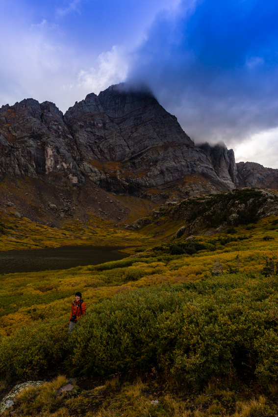
I found a perch on the side of Humboldt and waited patiently for the light to further develop across the basin from us, watching small holes develop in the clouds, revealing bits and pieces of the mountains and higher clouds painted with soft evening light.
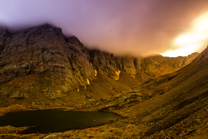
I was completely engrossed in what was unfolding before us and was ecstatic to be there to photograph it.
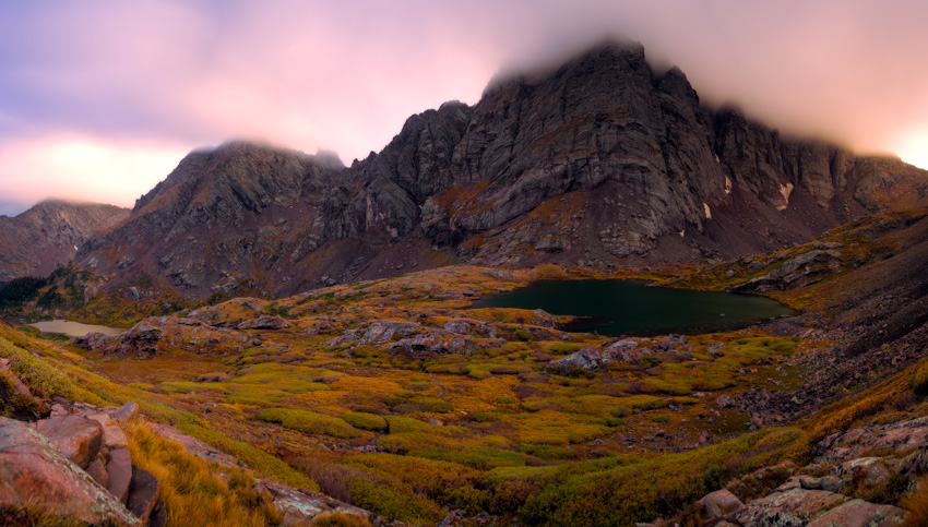
The light in the basin was pretty great, and I was quite pleased with the images I was able to take while huddling over my tripod in the cold wind.
The golden hour peaked quickly and left me with one final opportunity to shoot the light over on Milwaukee Peak and Broken Hand Peak.
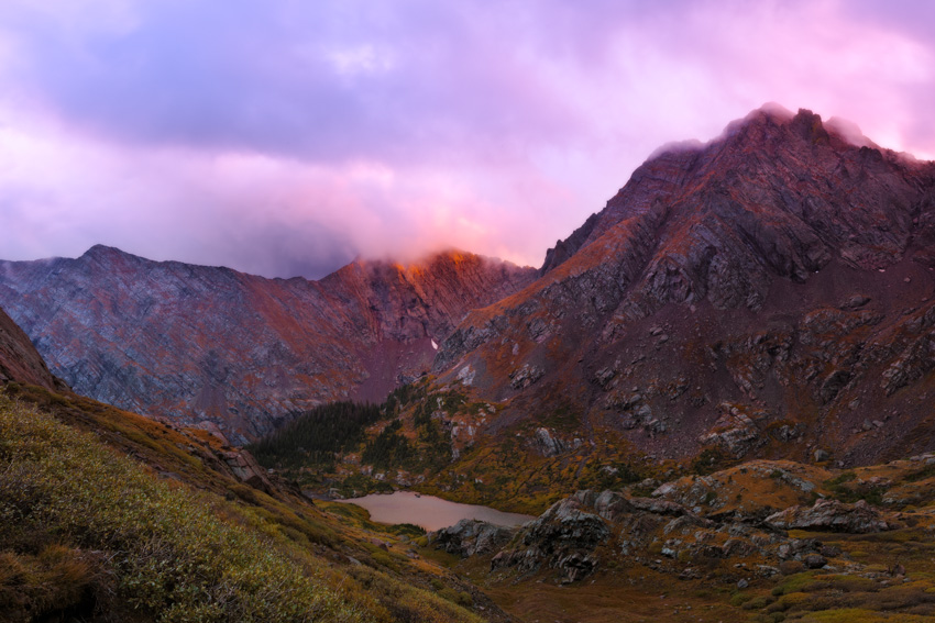
After capturing the magic, we headed back down to our campsite where we were greeted with a ton of strong wind and more rain. We set our alarms for O-dark-30 and hit the sack, hoping for better weather on Tuesday... [Click Next to continue reading]
Monday night and Tuesday morning will filled with lots of strong wind, which came in predictable waves down the valley and through the pine needles above. Sleep was a hit-or-miss proposition. The alarm went off. More wind. I stepped outside the tent, no sky or mountains were visible and it was cold as hell. We decided to go back to sleep for a bit.
Finally, around 8 AM we got geared up and made a run for Crestone Needle. This was a very late start by our standards; however, we felt as though the weather could not get much worse, so why not give it a try. The plan was to head for the top of Broken Hand Pass and re-assess the weather from there.
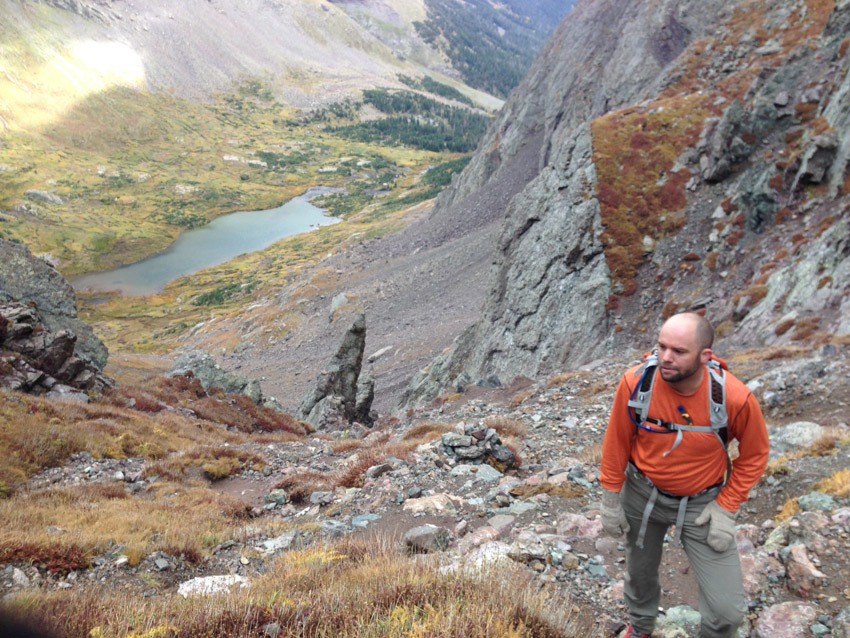
We made great time up Broken Hand Pass, stopping for nothing. Once on top, the weather was amazingly surreal as well as a little discouraging. Fast moving clouds, driven by the strong wind, were rushing from down below on the eastern side of the ridge and up and over us and Crestone Needle. It was quite a sight!
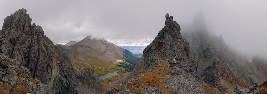
The air was thick with moisture, but at no point were we concerned about precipitation. It was chilly, but nothing terribly unbearable. We decided to press-on. Having climbed Crestone Needle once before, I was well equipped mentally for what was to come. I was confident we could find out way up and back down without incident. We had both studied the route again and had very few doubts that we could not reach the top safely.
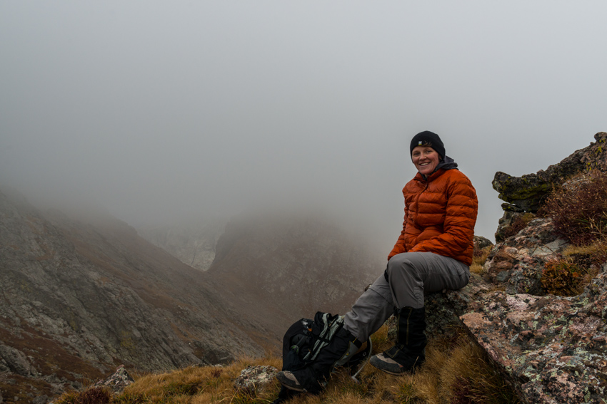
Crestone Needle was not visible through the thick, fast moving clouds, but it did not deter us. If anything, the insane weather made the experience even more epic.
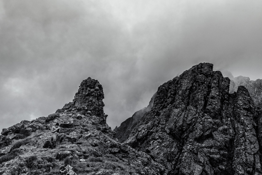
The garden of rock before us was really amazing to see again. At this point, I put my camera away to free my hands up to do the real climbing.
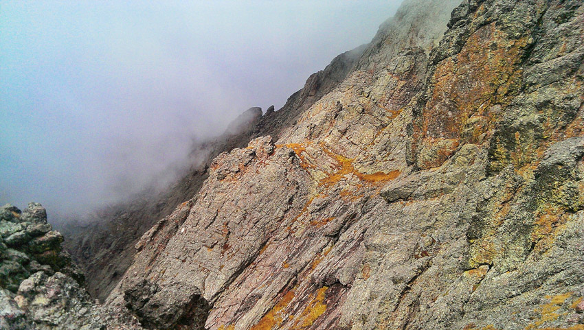
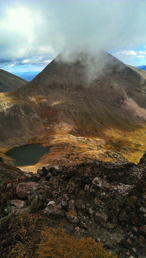
We took one last look down at Upper Colony Lake and Humboldt Peak before beginning the adventure up the fun parts of Crestone Needle.
There is nothing like being on the side of Crestone Needle. Something about the quality and steepness of the rock, I immediately was swept back to 2009 when I had climbed it with Terry Mathews (RIP). Sarah and I reached the infamous dihedral which signals the typical crossing over to the west gully. We decided to stay in the east gully for the class 4 variation, which certainly did not disappoint! After Broken Hand Pass, I did not shoot a single photo with my camera on the way up, so all the photos were taken with either my HTC One or Sarah’s Iphone 5.
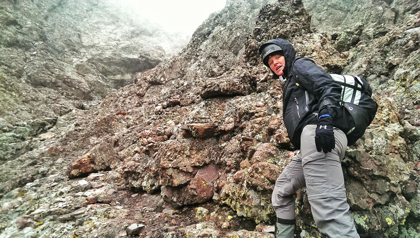
It was a real joy climbing this beast with Sarah with me. Having tackled many difficult peaks with Sarah in the past, including the Maroon Bells, Pyramid, Snowmass, Hagerman, and the Chicago Basin 14ers.
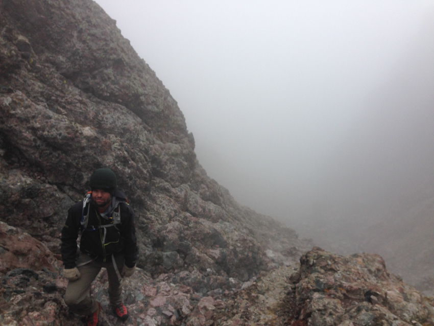
The class 4 variation up the east gully was quite a pleasant challenge on the way up, but I was getting concerned with route finding and safety for the descent. Visibility was decreasing as we climbed and the terrain was all starting to look alike.
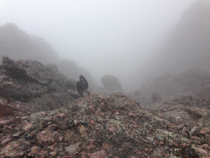
Fortunately, we were able to identify several cairns on the way up, including some duct tape on a few rocks here and there (small squares, which were quite nicely visible from above). Sarah was snapping some awesome shots of me on the way up, including this one of me negotiating the summit ridge.
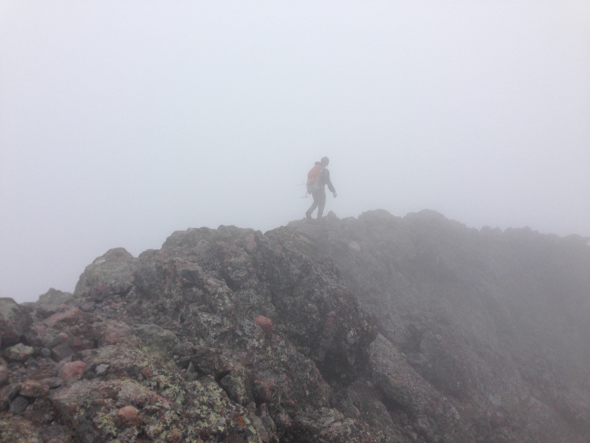
We reached the summit block in quick time and scrambled over the very skinny connecting arête to claim the summit. We had absolutely zero visibility and opted to stay there for only about a minute or so. We head right back down the way we came, following the cairns and duct tape we had seen before. The upper 200 feet of the east gully was pretty easy down-climbing; however, it got really dicey after that. We tried as best we could to stay on the route we came up on and for the most part were successful in that. It was surprisingly easy to remember the way down even though we could not see much. I was pretty happy we stayed in the east gully, as trying to find the switching point from west gully to east would have been difficult in the fog. I am not going to lie though, the climbing here was intense. The rock was wonderful, but it was quite exposed and surely a fall would have been fatal.
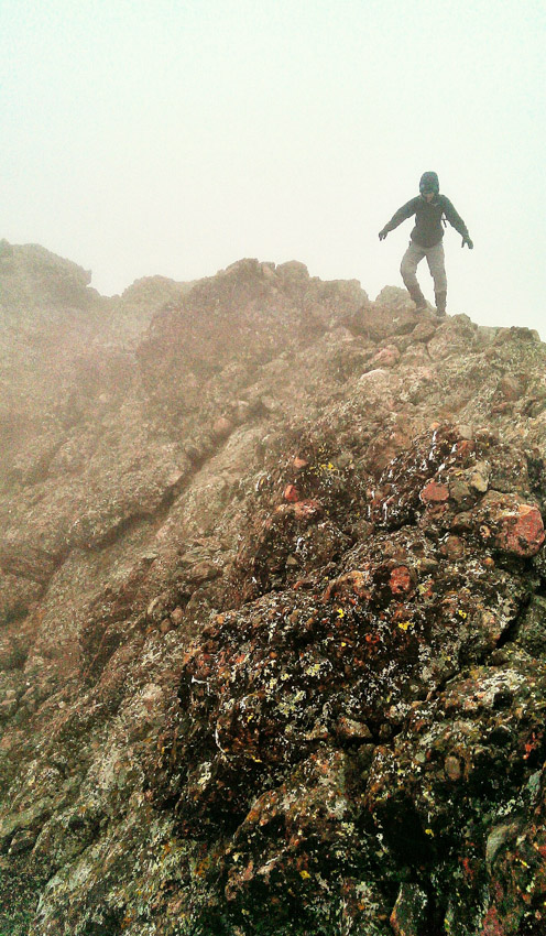 |
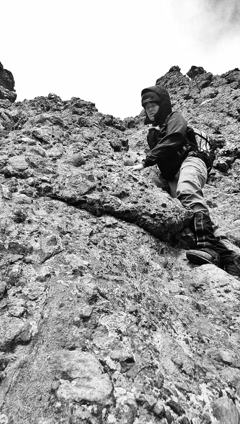 |
After many tough sections, we finally made it back down to the easier parts below the dihedral and made our way back towards Broken Hand Pass.
Sarah and I were quite excited about our successful climb of a beast of a mountain in whacky weather conditions.
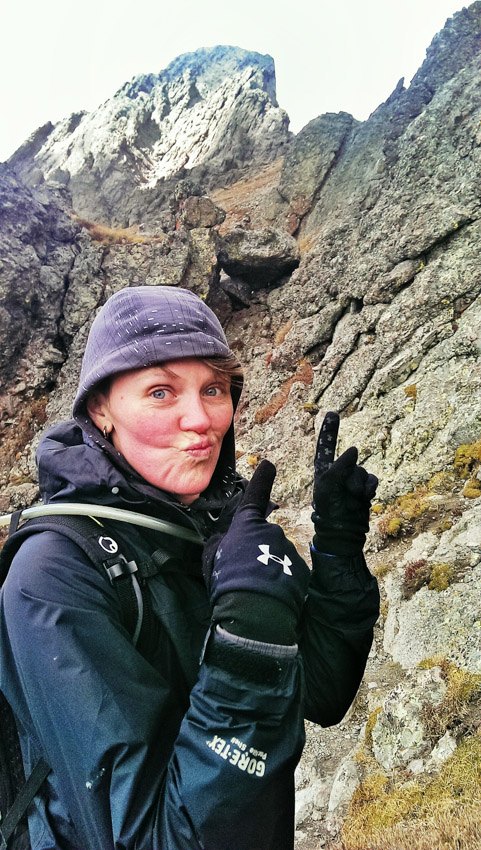
The clouds were breaking up a little and revealed all of the awesome peaks to our south and west, including Broken Hand Peak (at left).
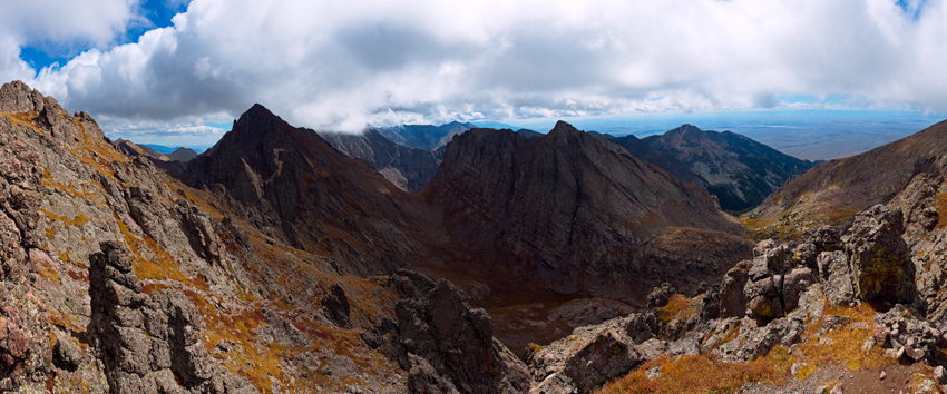
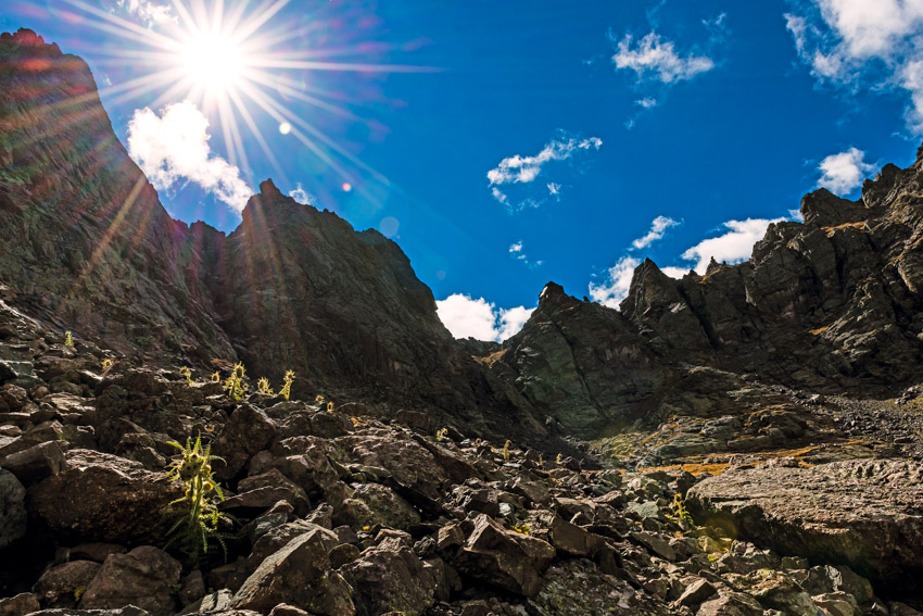
What a rush! Just what the doctor ordered for me – an awesome day climbing in the Sangre de Cristo Mountains! On our way down Broken Hand Pass, we encountered a ton of those funky spikey flower plants called Frosty Ball Thistle, and I just had to get some photos of them with the back light coming through.
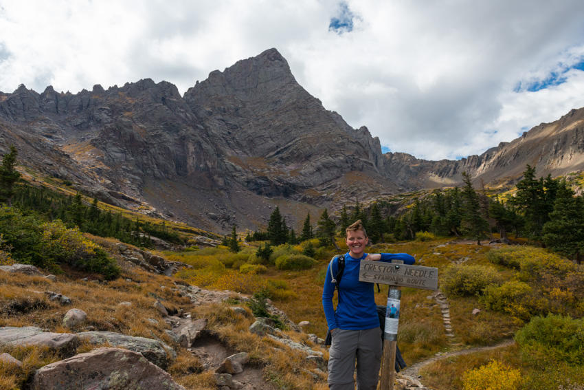
The hike down from Broken Hand Pass was totally a joy, mostly due to the amazing trailwork provided by RMFI. Upon reaching the main trail, we celebrated and enjoyed the unobscured views of Crestone Needle for the first time.
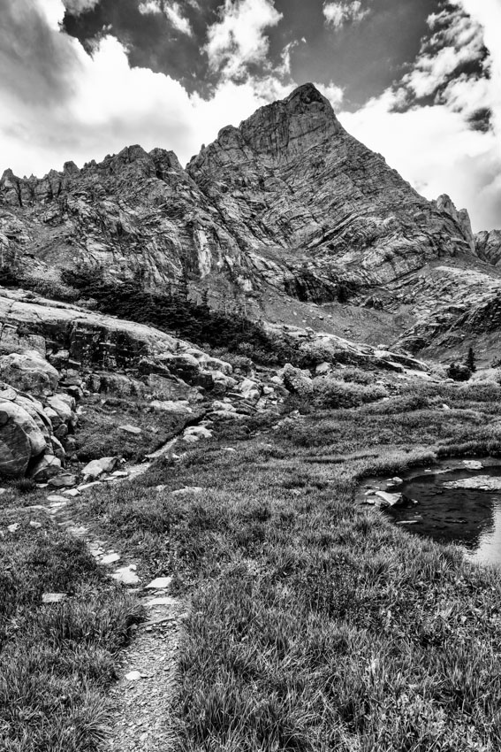
I stopped one last time on the way down to get a black and white shot of Crestone Needle, which I think turned out quite well.
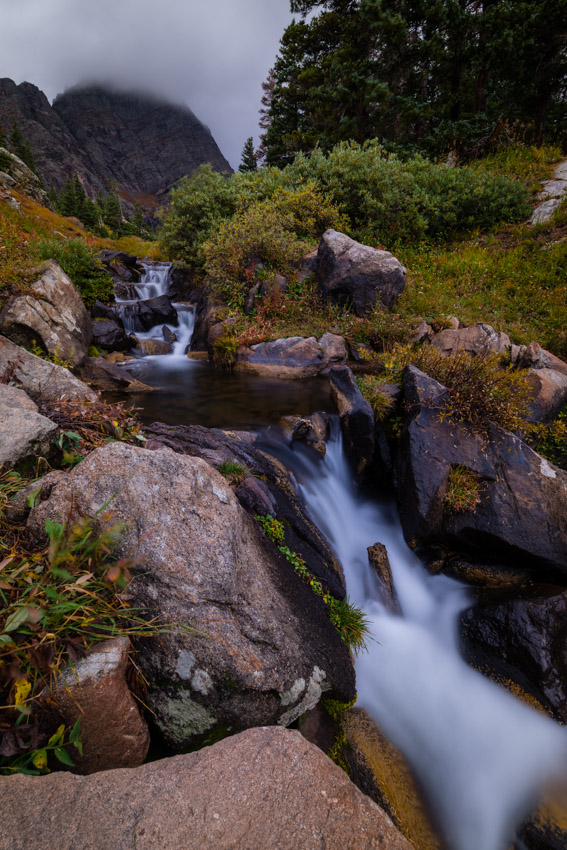
We made it back to our campsite and began to pack up. I wanted to get one more parting shot of Crestone Needle using a ND Filter, so I set it up and captured a mid-day shot of the flowing water in front of Crestone Needle.
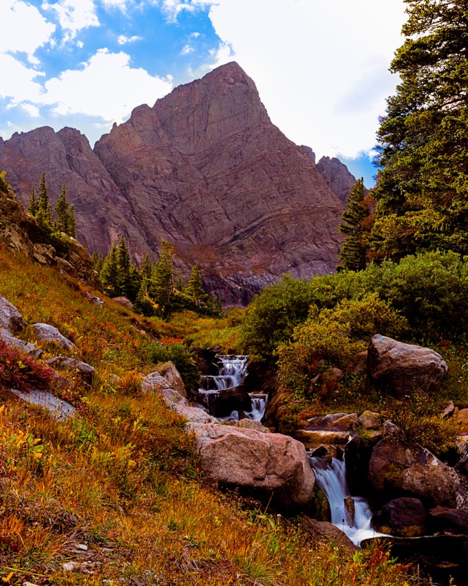
On the way out, we encountered all kinds of awesomeness, including several deer and some really friendly birds that were super photogenic and happy. What a lovely basin. I stopped one last time to get a a shot of the trees on the lower part of the trail before we go back to the car.
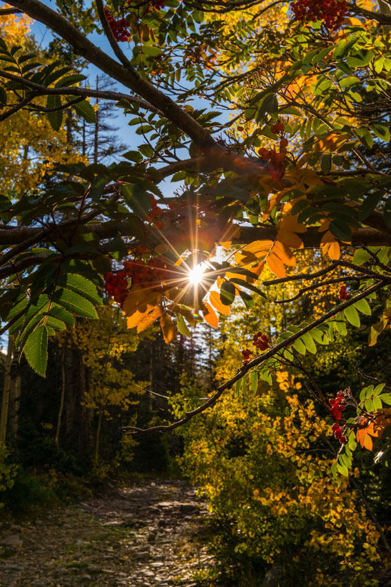
Upon getting back to the car, we found the bag of raisins I had left in the cup holder with a hole in it and lots of shavings around it - apparently a mouse had gotten into the vehicle and helped itself to a helping of raisins. Gross! We drove out carefully on the really horrible South Colony Basin road and enjoyed an amazing sunset over the Crestones to the west of us. A great ending to an amazing day.
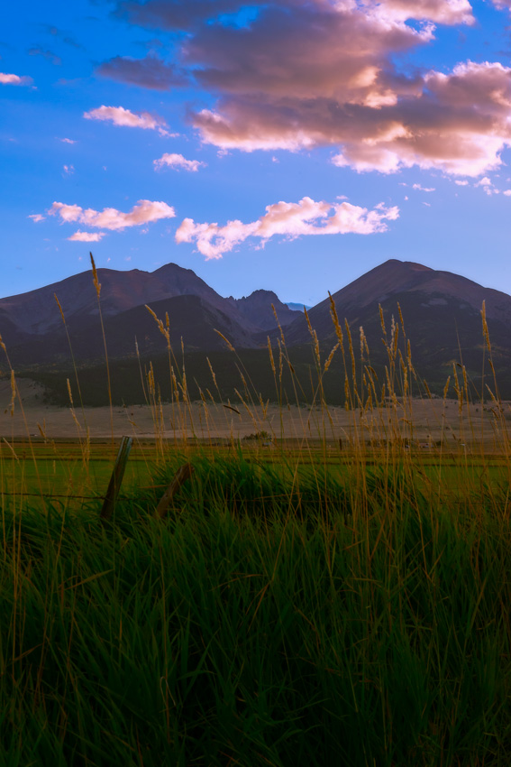
I ended the trip with a nice panorama of the Sangre de Cristo Mountains taken from Horn Creek Road just south of Westcliffe.
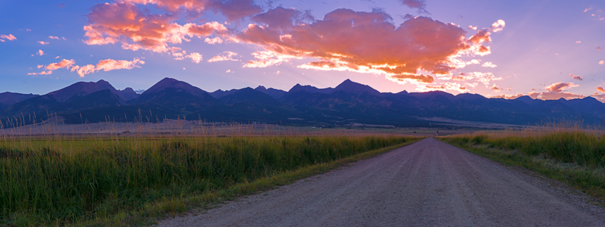
... [Click Next to continue reading]
I got up very early the next morning to do a fall colors photography shoot and birding expedition with my mom. We left the house around 5 AM from Colorado Springs and made our way up to Wilkerson Pass. The early light on the peaks to the west was fantastic, although I still would have loved to have some clouds! Spinney Mountain Reservoir was a nice element between us and Mount Princeton above it. From left to right - Antero, Princeton, Yale, Columbia, Harvard and Buffalo Peaks. Awesome.

The plan was to head to the St. Elmo area south of Mount Princeton to photograph the fall colors and keep our eyes out for birds as my mom is very into birding. On the way through South Park, we located a really awesome Great Blue Heron feeding on fish in the mist above the South Platte River.
We made our way up towards St. Elmo in no time at all and were immediately rewarded with awesome color on the hillsides around us.
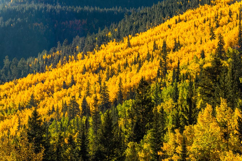
I saw an amazingly photogenic aspen grove off the road and had my mom stop the car, where I spent the next 30 minutes shooting the awesome light and color in the aspen grove.
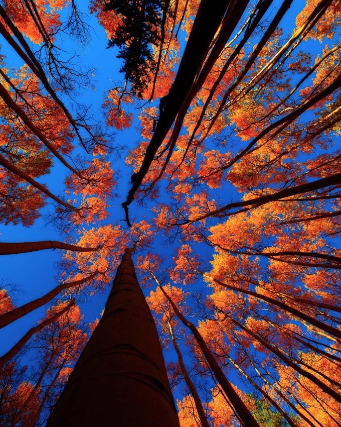
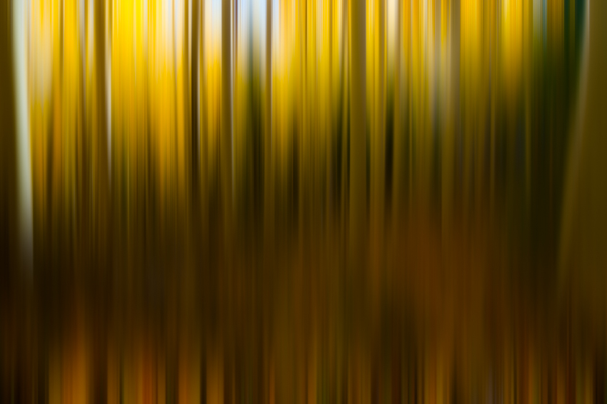
The grove afforded me some great opportunities to try out new techniques and processing concepts that I've been wanting to try, including this abstract use of motion blur and aspen trees.
I fell in love with this aspen grove, and could probably shoot fall colors in Colorado for days on end without blinking. This was probably my favorite shot of the whole trip, and I immediately made it available for print purchases (you can click on the photo to learn more about that).
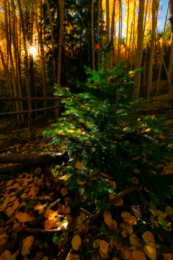
I also found this super cool pine tree covered in yellow aspen leaves that drew my attention and reminded me of a Christmas tree.
We finally made it to the town of St. Elmo and stopped for awhile to enjoy the fresh crisp air and fall colors.
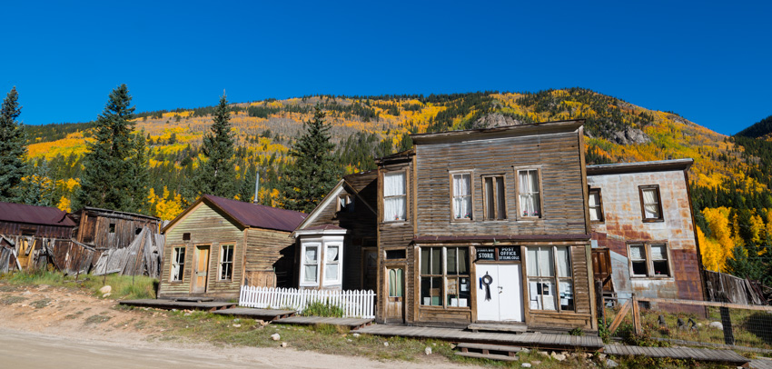
I found these awesome cabins further into the town and thought they were the perfect forground to showcase the area and the fall colors.
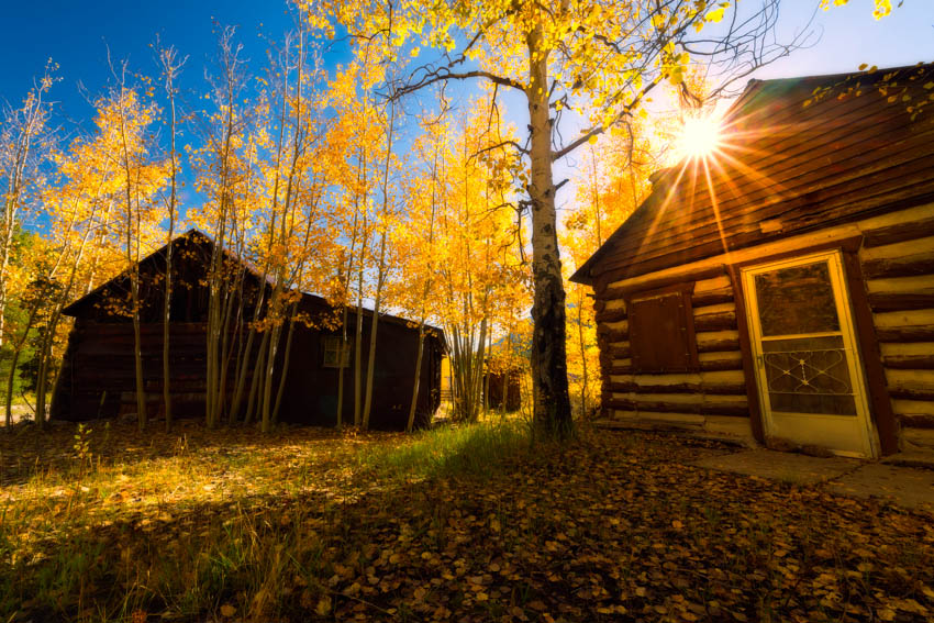
I had a good time using my 70-200 to pick out some patterns in the trees in the hillside across the way from St. Elmo, it was quite fun trying to find the best compositions.
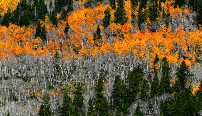
Perhaps my second favorite shot of the day was of this huge mountainside filled with aspen trees changing colors, with an old mining structure anchoring it at the bottom of the frame. So beautiful!
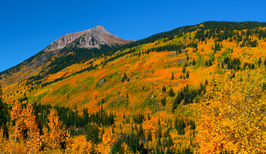
I found another great aspn grove to try out another abstract motion technique as well.

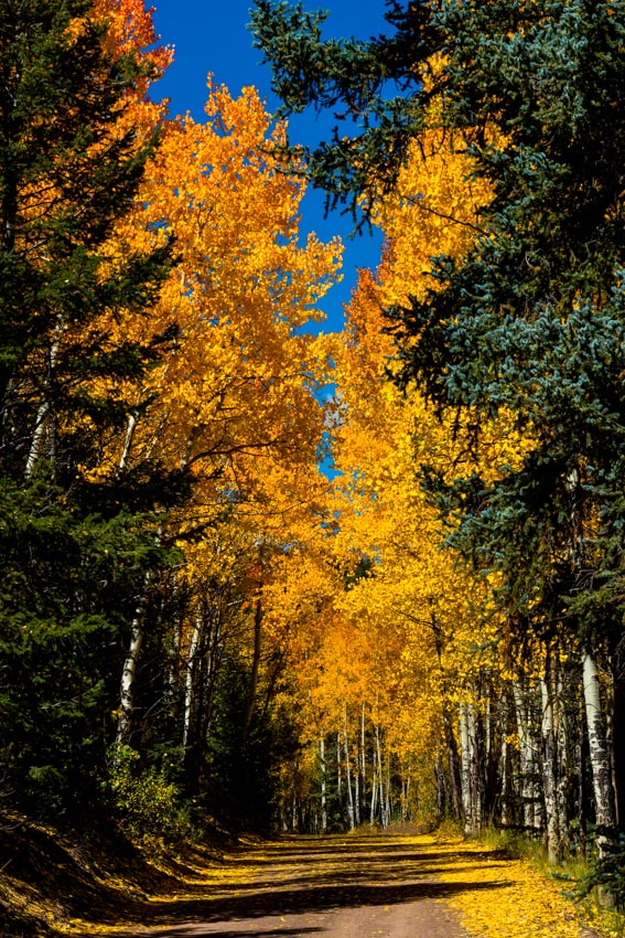
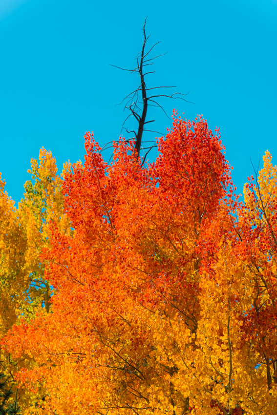
My mom and I decided to leave the St. Elmo area and head over to the Buffalo Peaks area It was a nice drive up into the hills and we were greeted with many wonderful changing fall color scenes.
 |
 |
I was happy to find a nice vantage to snap off this huge panorama of the Buffalo Peaks with the changing fall colors featured prominently.

We also found the foundation of an old cabin here and it made for a nice foreground feature.
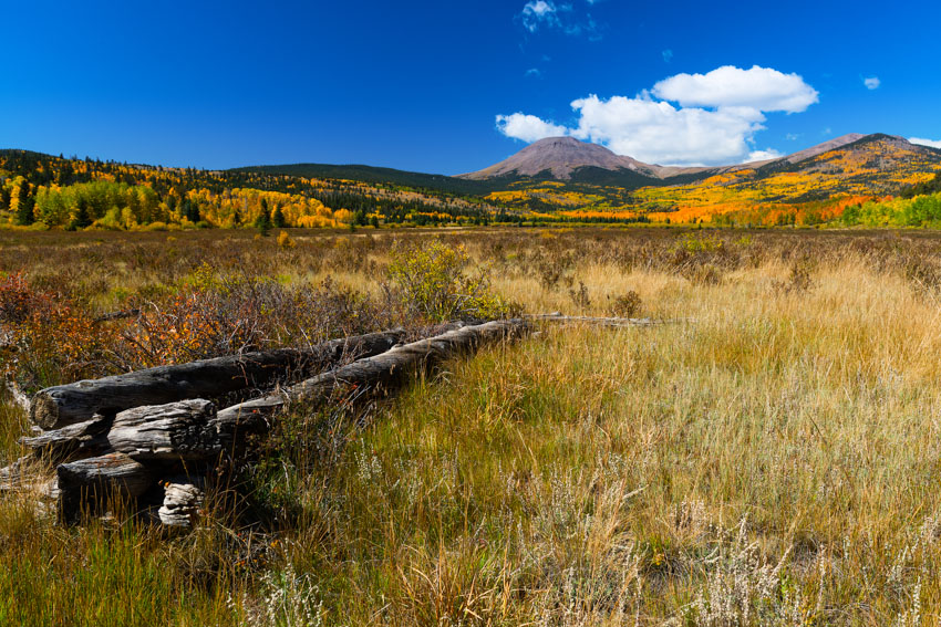
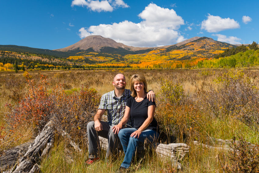
I was also happy to get my mom to get into a self-timer photo with me with the Buffalo Peaks scene behind us in the harsh mid-day sun (can't always shoot at the golden hour, right).
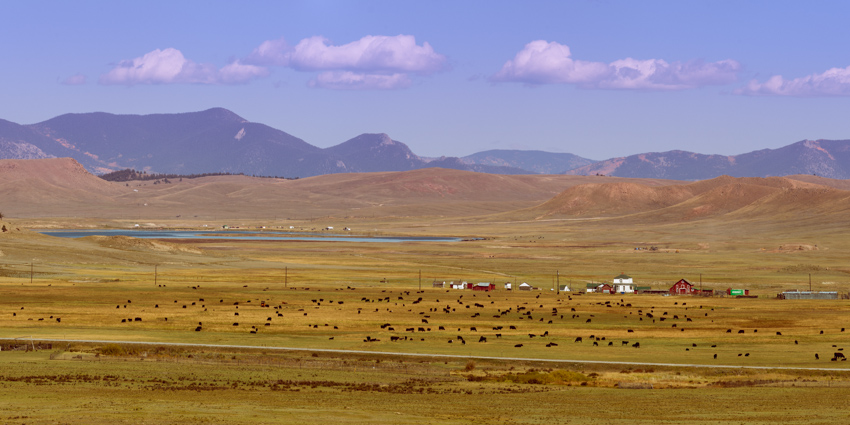
On our way out, I stopped one last time to shoot this telephoto panorama of Highway 285 and Antero Reservoir with cattle and old cabins in the scene. What a pretty day!
While our trip was not filled with epic scenes from my more favorite areas like Kebler Pass, Ohio Pass, Owl Creek Pass or anything from the San Juans, I was still pleased to get into the mountains to photograph the changing fall colors with my mom. It was a great mother-son trip and I know it meant a lot to my mom to spend th day with her. Any chance to get into the Colorado mountains in the autumn is a welcome day for me. I hope you enjoyed my photographs and trip report. I would love to hear from you on your thoughts about the trip report or the photos, or if you have any questions about my photos. Please feel free to leave a message below or to contact me. Thanks for stopping in!


