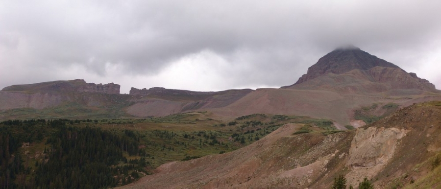
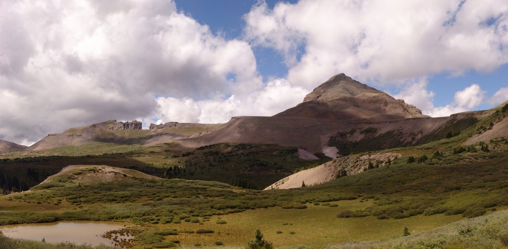
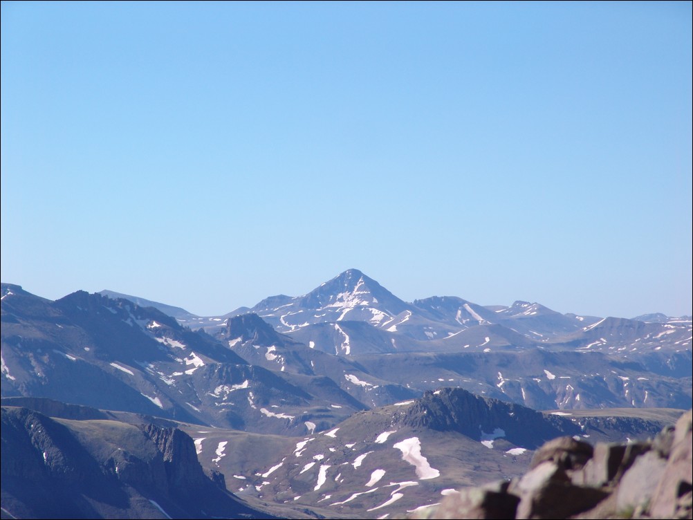
 Rio Grande Pyramid has long been on my "to-do list" for the Centennials (the highest 100 mountains in Colorado). Isolated by over 10 miles from its neighbors in the San Juan Mountains, Rio Grande Pyramid sticks out like a sore thumb by itself to the east of the Needle and Grenadier subranges. I viewed Rio Grande Pyramid from many angles this year, including a great view from Handies, and another wonderful perspective from Vestal and Arrow Peaks.
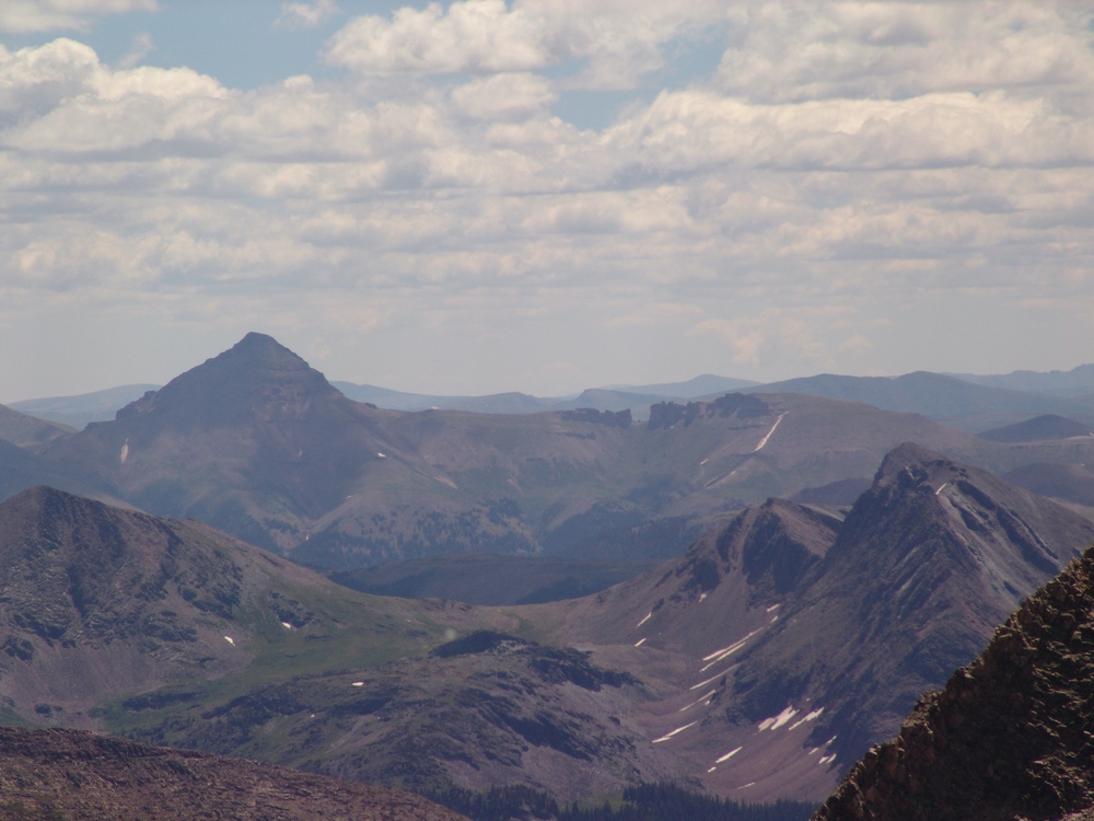 Needless to say, I have been eyeing Rio Grande Pyramid a lot this year, and I have known since January that I would be climbing it with my dad at the end of August. Since Rio Grande Pyramid is very isolated, it requires a fairly lengthy backpacking excursion and some planning. My dad (Old Climber on this site) has wanted Rio Grande Pyramid for many, many years, so he jumped all over the chance to attempt to tackle this beast.
The plan was to leave from Colorado Springs after work around 5 or 6 PM on Friday, set-up a quick camp near Rio Grande Reservior, back-pack to Weminuche Pass on Saturday, set-up camp there, climb Rio Grande Pyramid on Sunday, and backpack out on Monday. With the weather forecast for the area being up to 70% chance of precipitation for pretty much the whole weekend, Ray and I were prepared for a wet trip, but hopeful that the weather would cooperate for a summit attempt. Just in case, I packed a book, The Things They Carried by Tim O'Brien, per the recommendation of my wife.
To start off, here are some meaningful statistics for this adventure:
Peak summited:
Rio Grande Pyramid: 13,821 ft. (ranked 97th in Colorado)
Total elevation gain: 4,674 ft.
Total distance hiked: 19.26 miles
Total time hiking: Approx. 14 hours
Total photos taken: 350
Total distance driven: 540 miles
Trip duration: 3 days
The drive to Rio Grande Reservior was uneventful, and finding a place to camp was surprisingly easy. We were aiming for the Thirtymile National Forest Campground, but we balked at the $16 fee, so instead we decided to camp 400 yards away, for free, in a large field by the Rio Grande River. This proved to be a great campsite. We woke up around 7:30 AM, packed up, ate breakfast, and drove to the campground, where the parking lot for the Weminuche Trail is at. At about 8:30 AM, Ray and I were packed and ready to hike, and began our 3-day journey into the remote Weminuche Wilderness Area.
A topographical map of our trip, click to enlarge.
The hike in is a relatively easy backpack, with the exception of mile number 2. The first mile is spent traveling along Rio Grande Reservior along a gentle trail, and then the trail picks up elevation quickly in mile 2 as it climbs and rounds the corner to the south west. After the 2nd mile, the rest of the hike in is very mild, with excellent views of the wide-open and very photogenic Weminuche Creek basin.
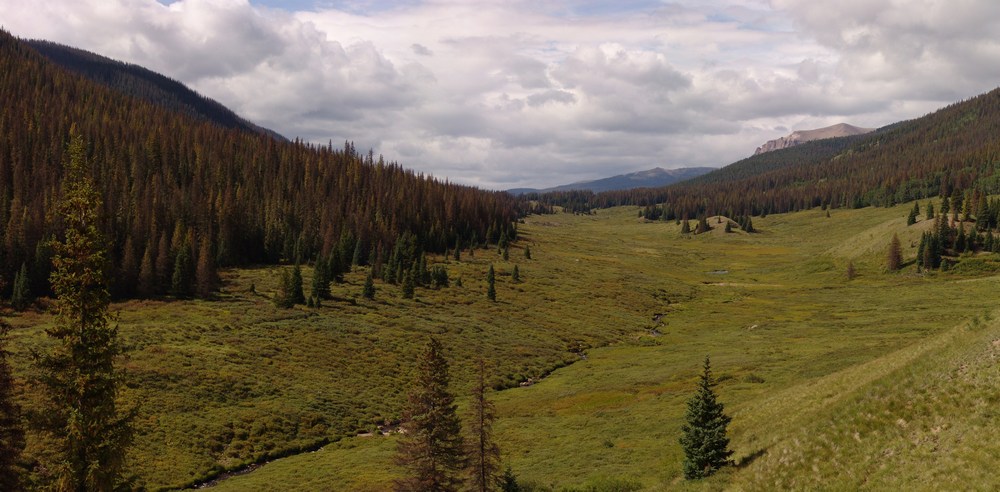
The Weminuche Creek.
For our campsite, we were aiming for an area near Weminuche Pass. On the way up, both Ray and I were marvelled by the variety of mushroom that were growing along the trail, certainly evidence that this was been a very wet summer. Little did we know, the mushrooms would be one of the highlights of our trip (for those wondering, we did not ingest any of them).
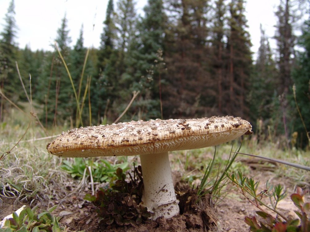
A Fly Agaric mushroom along the trail leading towards Weminuche Pass.
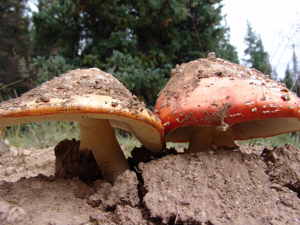
Two Fly Agarics emerge from the hard soil.
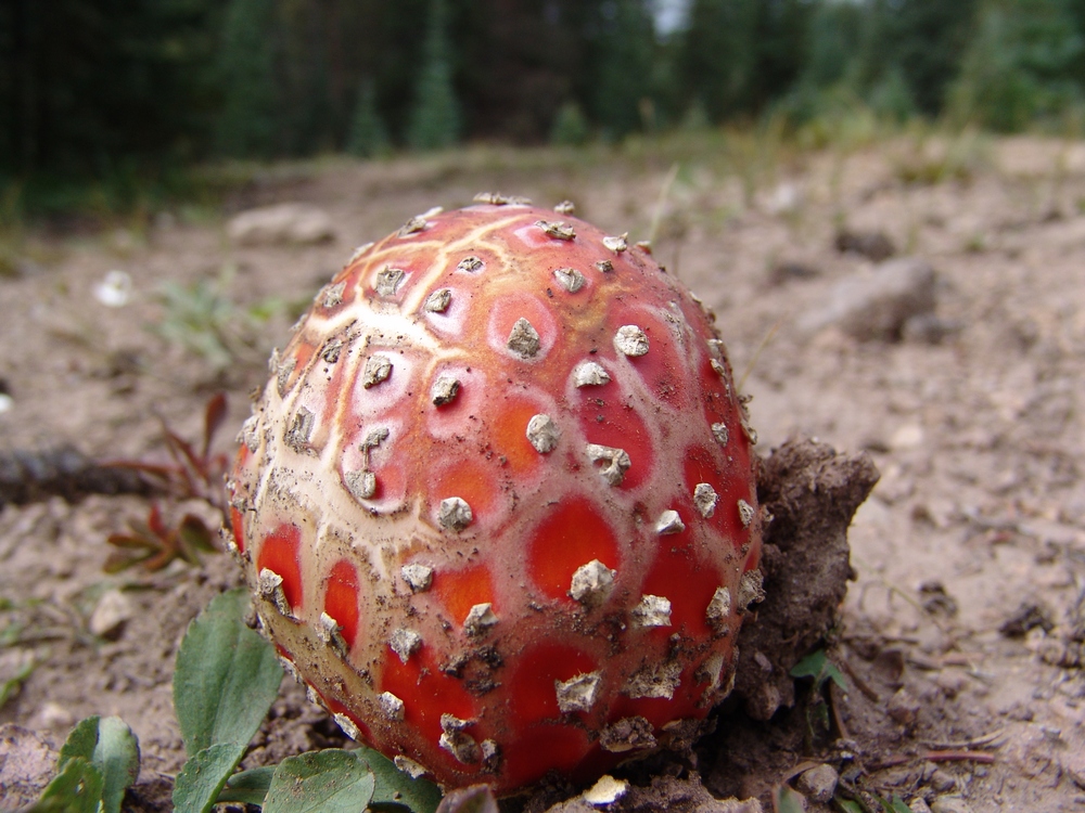
A Fly Agaric poking through the dirt.
We finally found Weminuche Pass, which was easy to spot by the two almost useless signs sticking up out of some cairns on each side of the trail. Heed my warning now, the sign on the right is for "Sky Line Trail," which is the route to Rio Grande Pyramid. The sign is poorly marked and at the time pointed in the wrong direction. We've since fixed the sign, so hopefully you'll see it better than we did. We camped directly east (left) of these signs along a small but gorgeous creek that flowed down from the Continental Divide. The area was a very large and impacted campsite, with plenty of great spots for a tent a a nice fire-ring.
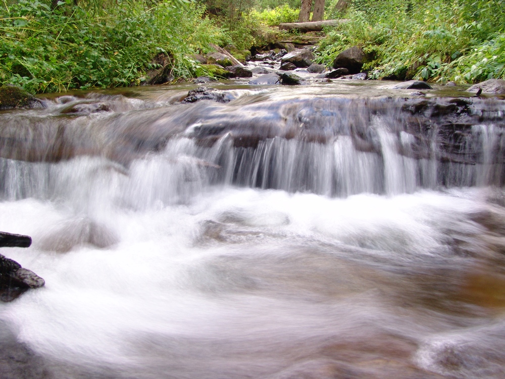
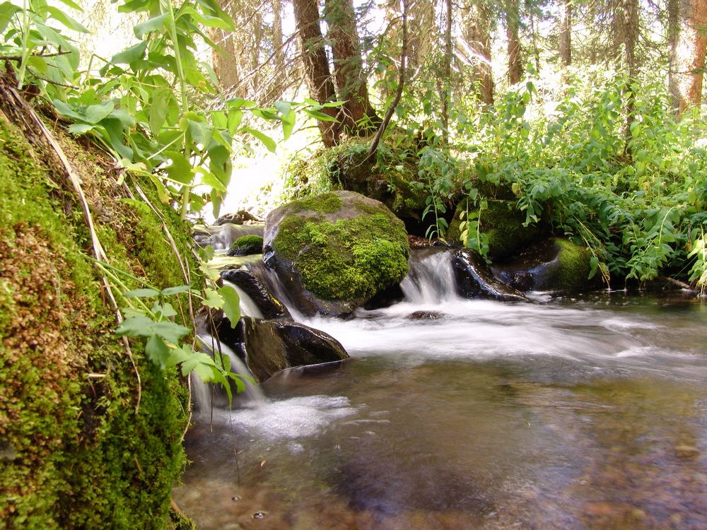
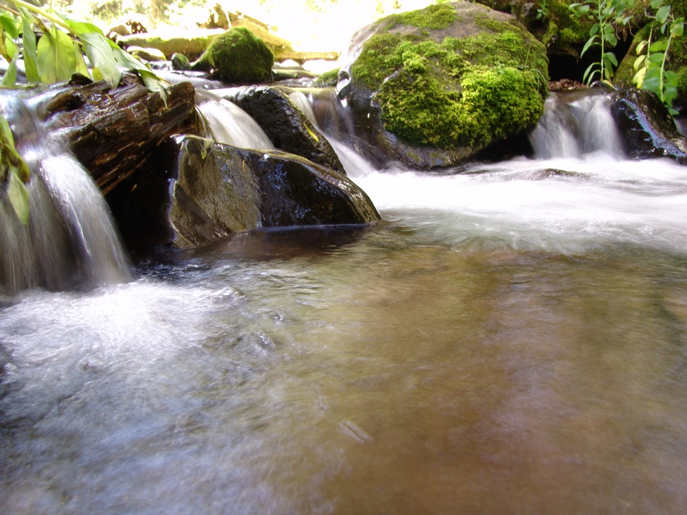
The creek near our campsite.
After setting up camp, I decided to go for a walk around the area, and see what kind of mushrooms I could find. Since I know almost nothing about mushroom identification, this was more of an opportunity for me to practice taking macro shots with my camera. I do think that mushrooms make for excellent subjects for photography, and I suspect/hope that some mushroom lovers out there may appreciate this trip report. I've submitted these photos to MushroomExpert.com (which is a very cool site) and hope to find out soon if we can name any of them. If you don't care for photos of mushrooms, you can skip that section by clicking here.
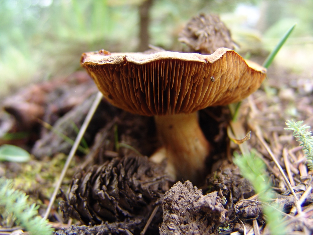
A little brown mushroom (or LBM for short, as Ray would say).
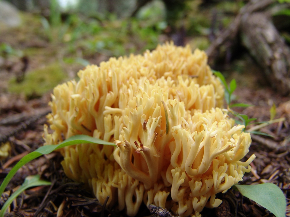
Some funky yellow mushrooms - we saw a lot of these under the pine trees.
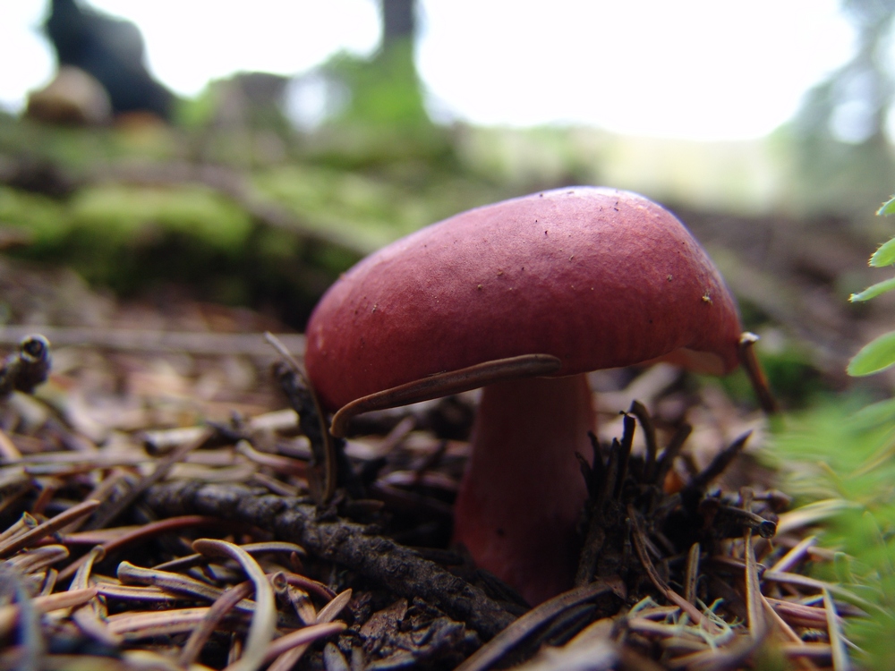
Another "LBM."
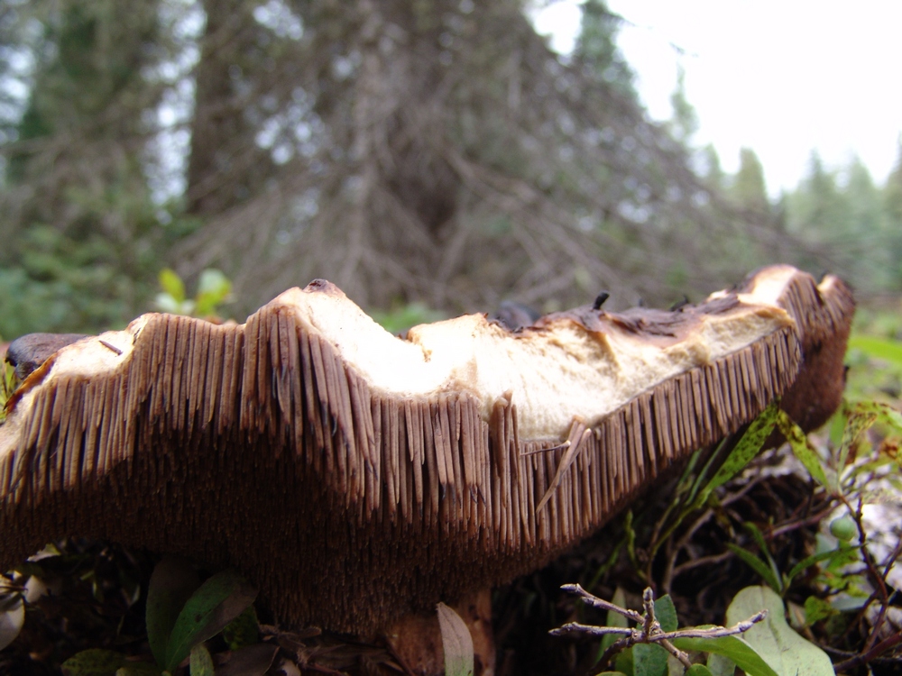
A nasty looking 'shroom - I think it has seen better days...
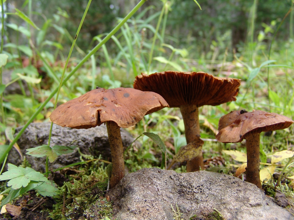
Three "LBM's" emerge from the mossy ground floor of the forest.
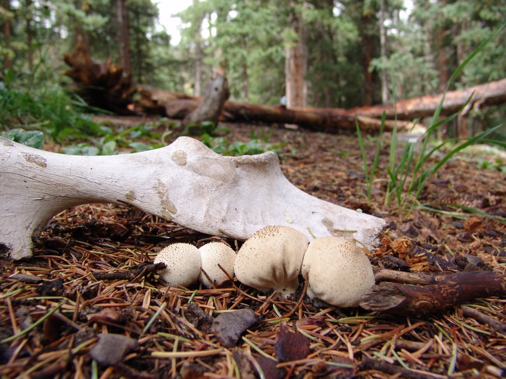
I wonder... did these mushrooms seal the fate of this poor animal?
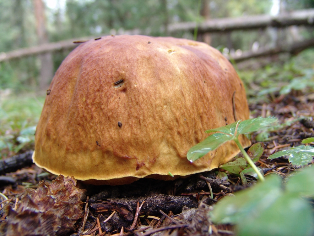
A King Bolete mushroom near our campsite. It turns out that these are quite edible.
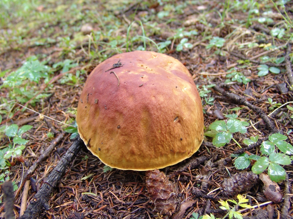
Another view of the King Bolete.
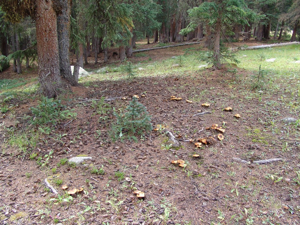
A ring of mushrooms near our campsite.
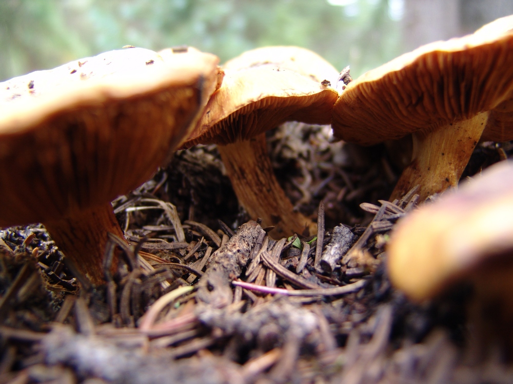
More LBM's.
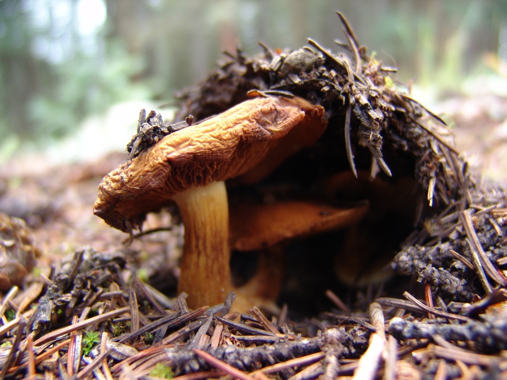
A LBM emerges from the pine needle floor.
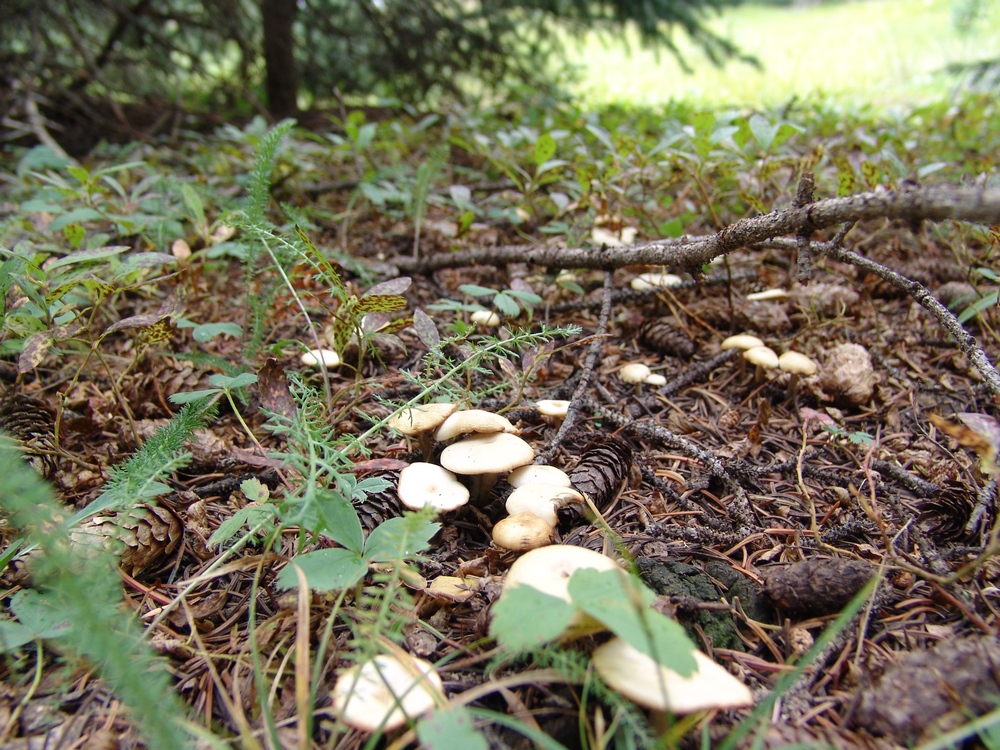
Little white mushrooms were everywhere...
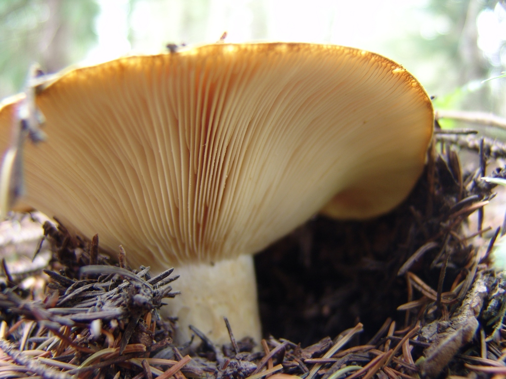
The "gills" of this mushroom made for an interesting subject for a macro shot.
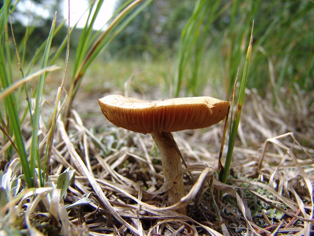
Another LBM rises from the grass.
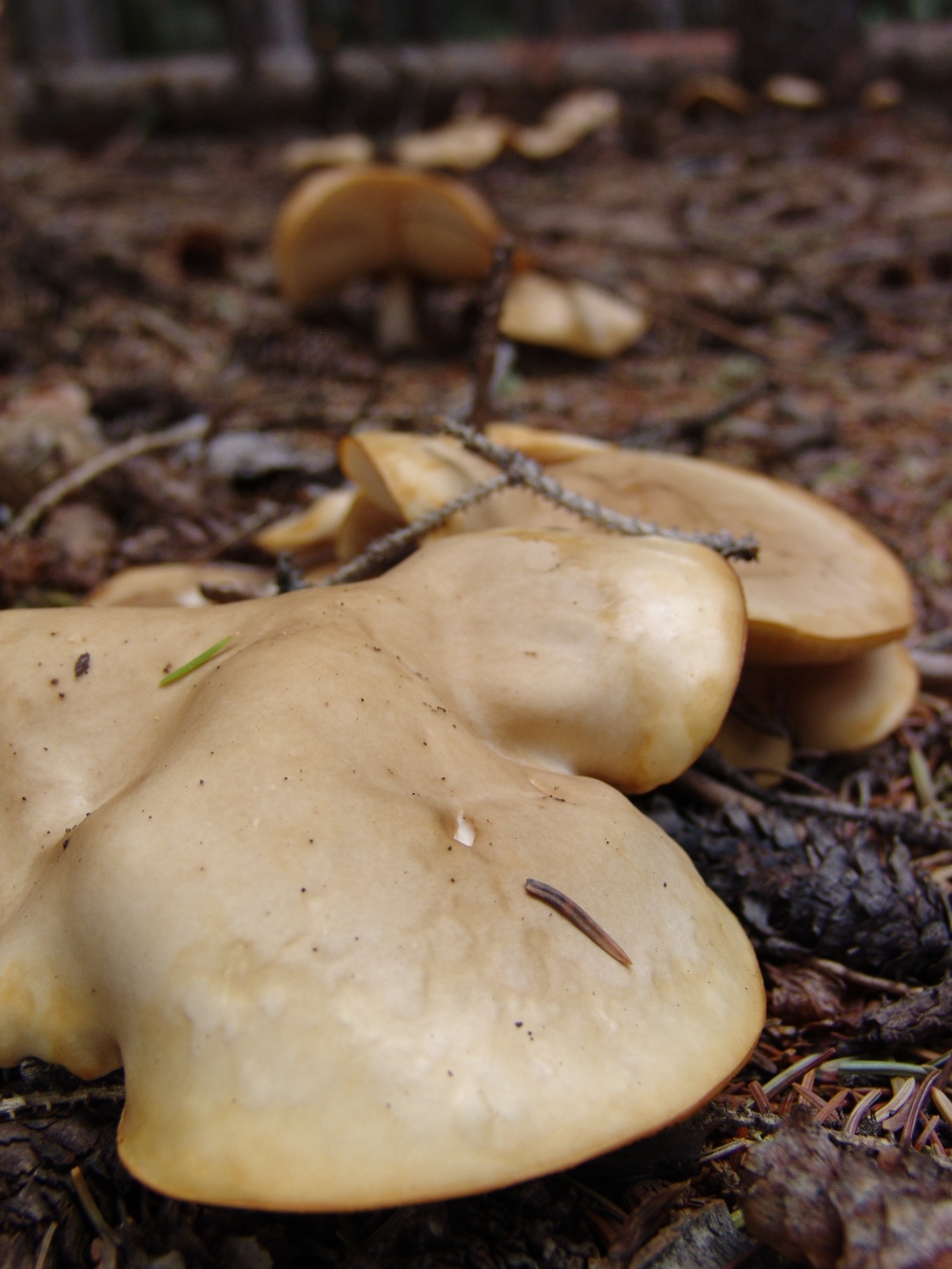
These mushrooms looked like blobs slithering across the forest floor.
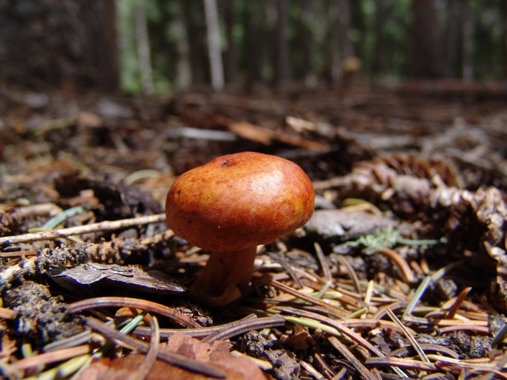
Yet another LBM!
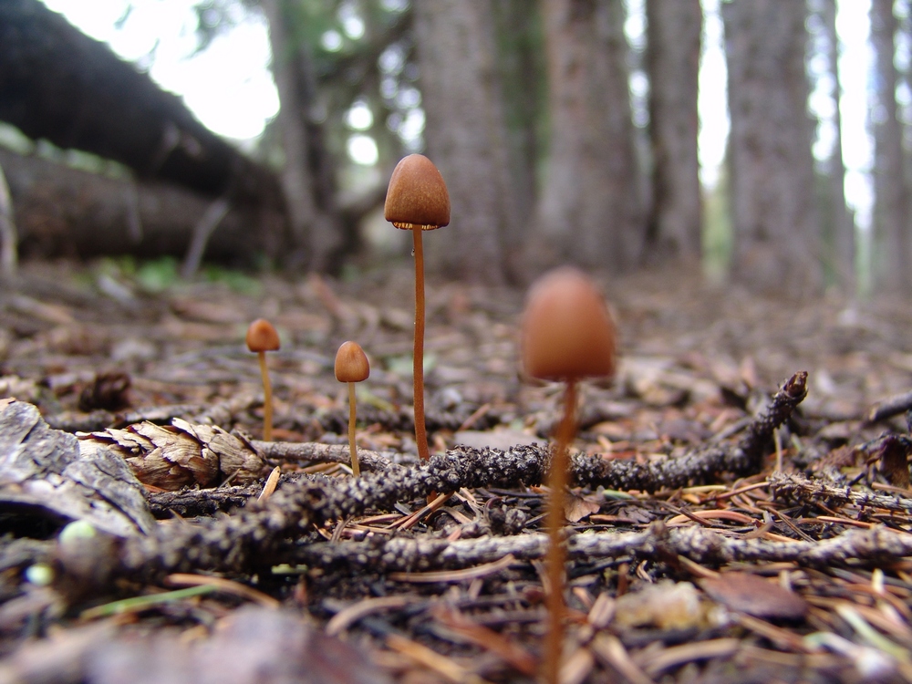
These tiny mushrooms were growing in a very obscure location. I don't have a clue how I spotted them. Pure luck. They were about an inch tall.
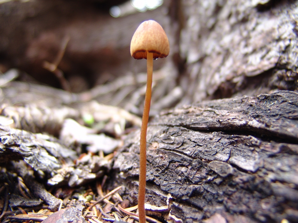
Another tiny little mushroom.
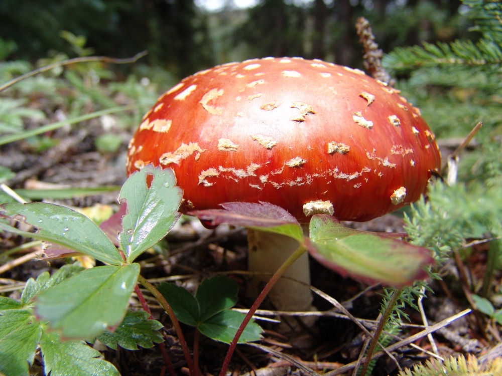
A perfect Fly Agaris specimin near our campiste. Doesn't it look like something out of Super Mario Brothers?
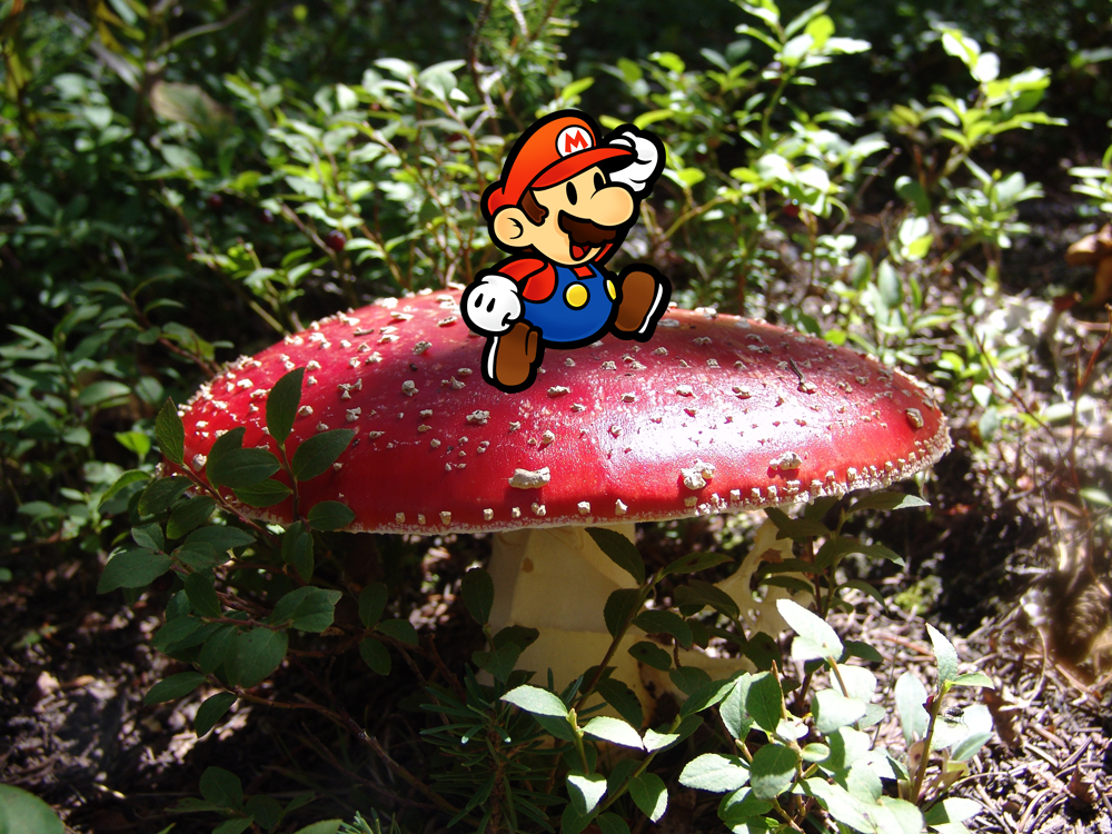
Mario emerges!
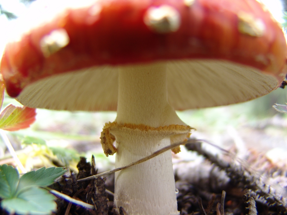
A view of the underside of the Fly Agaric.
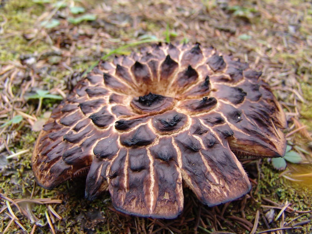
This mushroom looks like it maybe got a little too much sun. Sunscreen is important in the mountains.
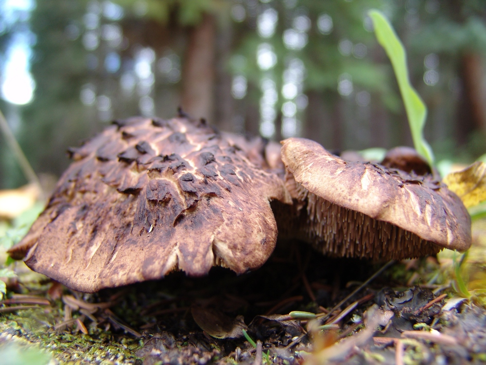
More crispy 'shrooms.
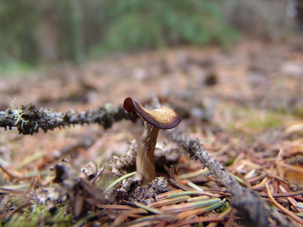
This little mushroom looks like she put on a little too much lipstick...

A white mushroom.
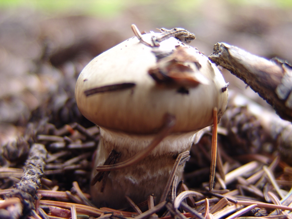
A small button cap mushroom.
After photographing the mushrooms, I took a nap. Sleeping next to the creek was great, and I recuperated from my exhausting search for the perfect mushroom. Ray and I cooked up some mashed potatoes and gravy with StoveTop dressing and chicken breast (we know how to cook when we backpack), and then after dinner I decided to go on another adventure up the valley to see if I could watch the sunset.

A view of the upper Weminuche Creek basin, just past Weminuche Pass.
To the east (left), I saw a small meadow at the base of the hillside pictured above. In that meadow, I saw a deer grazing, so I decided to see if I could stalk the deer and get a good photo of it. I think the deer was aware of my presense for pretty much my entire walk, which about 400 yards total across the basin. As I got closer to the meadow, I found myself looking down upon an awesome series of pristine beaver ponds.
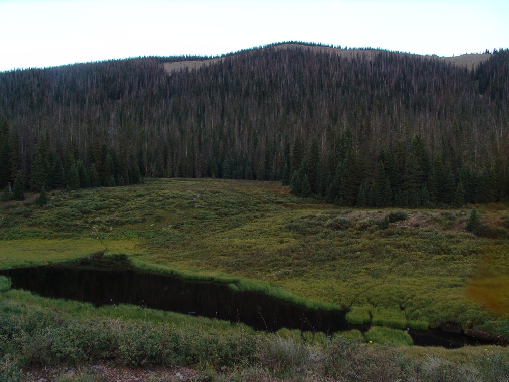
A hidden beaver pond and meadow. The deer can barely be seen in the upper meadow.
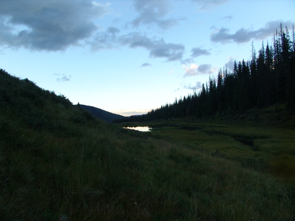
Another beaver pond.
The beaver ponds were full of duck and fish, and it was fun watching the ducks swim around with their little families of chicks.
I even took some video of the ducks. If you listen really closely you can hear coyotes howling in the woods nearby.
In the distance I could make out what I believed to be Pole Creek Mountain in the late sun's light.
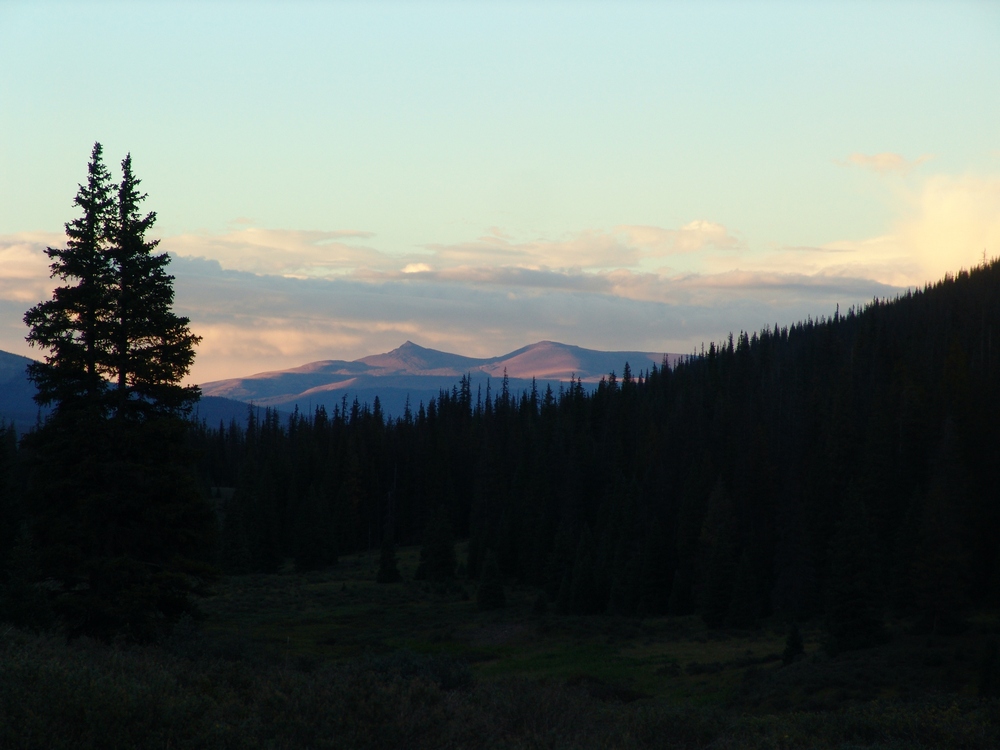
Pole Creek Mountain.
After being spooked at the beaver ponds by continuous coyote howling, I decided to return to camp. We crashed fairly early and set our alarm for 5 AM. The alarm went off and it was really cold outside. We got ready quickly and were on the trail by 6 AM. This is where we made our first mistake. Instead of following the "Sky Line Trail," we followed the Weminuche Trail further south until I realized we were doing something wrong. We backtracked to the Sky Line Trail (which does NOT follow where it shows on the USGS topo map, as seen by my TOPO map of our route) and began the steep upclimb along the Continental Divide. This trail is well established and somewhat steep. The weather was very foggy and winter-like for us, but there was no precipitation, so we continued up. The trail splits at one point, trying to avoid some deadfall; however, we found the best thing to do is to stay on the trail and go over the dead trees. This prevents you from losing a lot of elevation. Eventually, the trail brings you around the bend and Rio Grande Pyramid and The Window come into view.
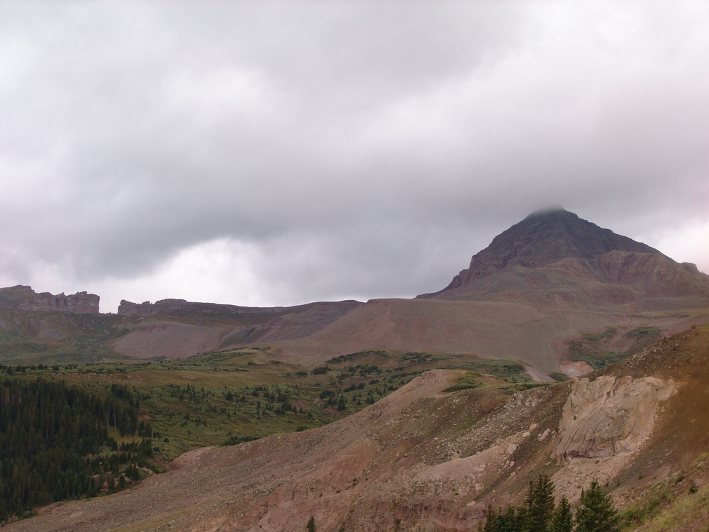
The Window and Rio Grande Pyramid.
The Window is a very impressive geologic formation along the south ridge of Rio Grande Pyramid, and it does not disappoint. It was truly striking.
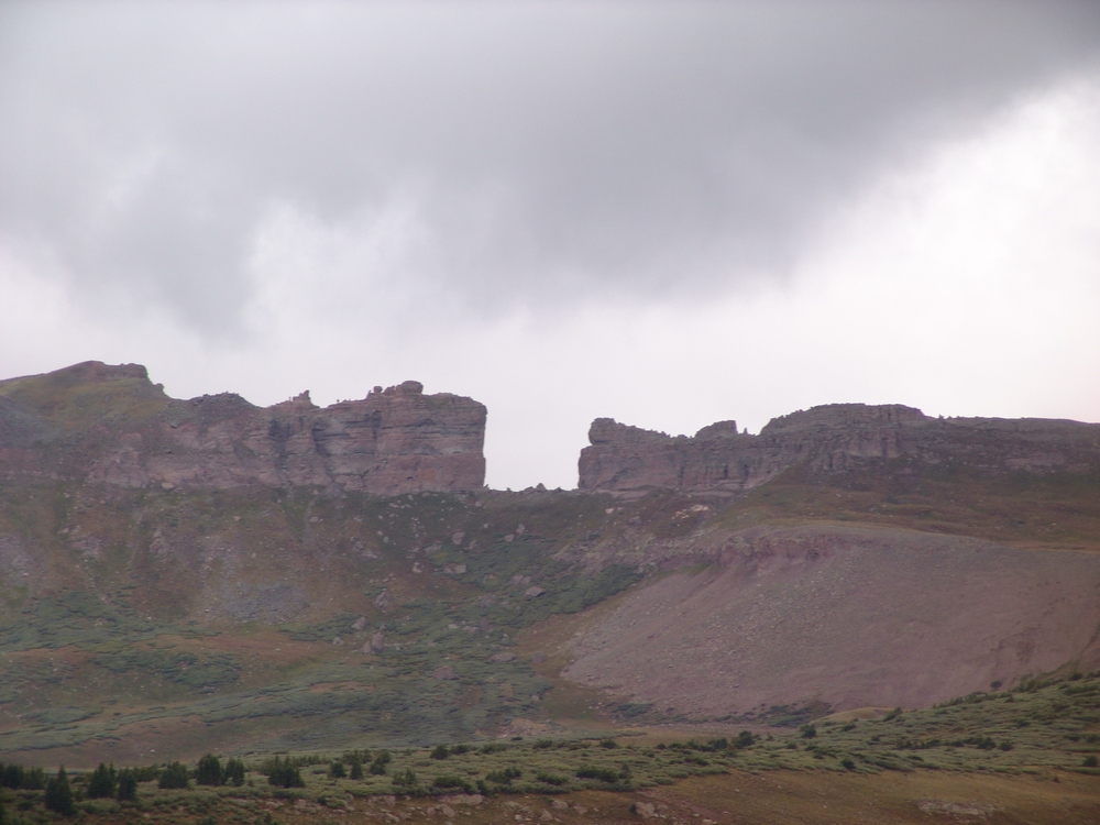
The Window.
The trail flattens out here in the upper basin and eventually brings you to a junction at the base of Rio Grande Pyramid. We took the junction to the right and climbed up a steep trail to the lower plaform of Rio Grande Pyramid. From here, we chose to follow the platform south and then up the gradual southeast slope.
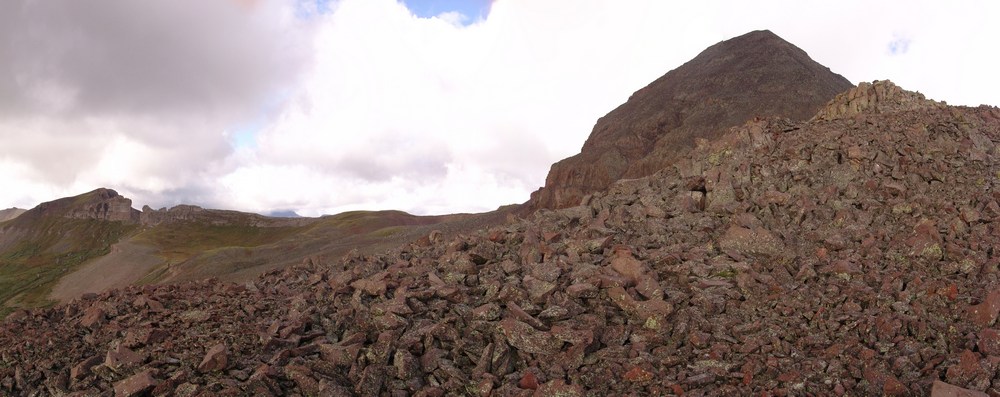
Nearing the summit of Rio Grande Pyramid.
The view back from where we came near UN 12,808 was pretty awesome, with the greens and yellows of the huge basins showing their true colors.
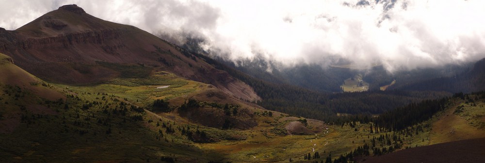
UN 12,808 towers over the valley below.
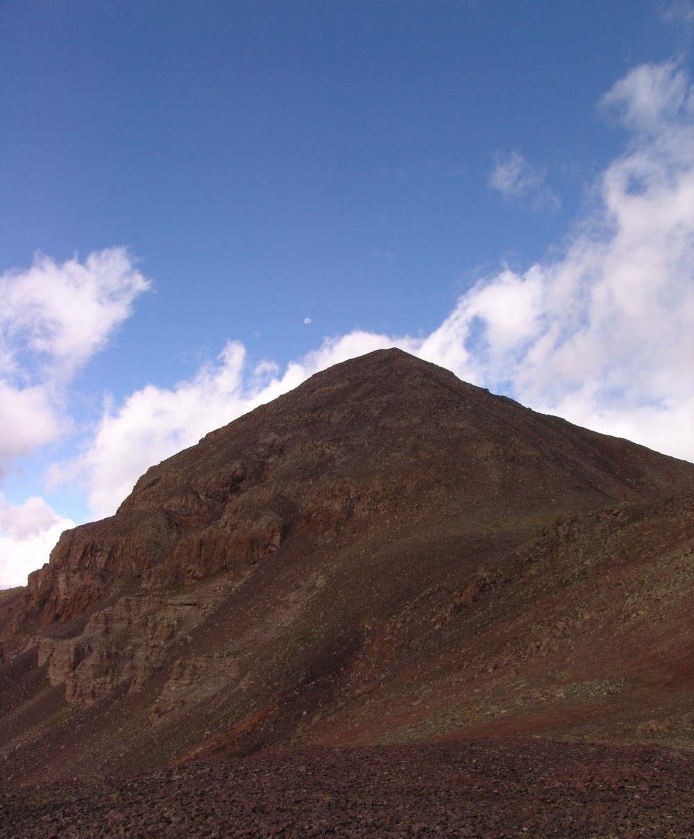
The Moon sets over Rio Grande Pyramid.
I was very intrigued by the volcanic nature of the rock on Rio Grande Pyramid. It was very much like lava rock in many regards, and made for quite easy travel compared to the "dinner plates" in the Elk Mountains or the famously loose rock found elsewhere in the San Juan Mountains.
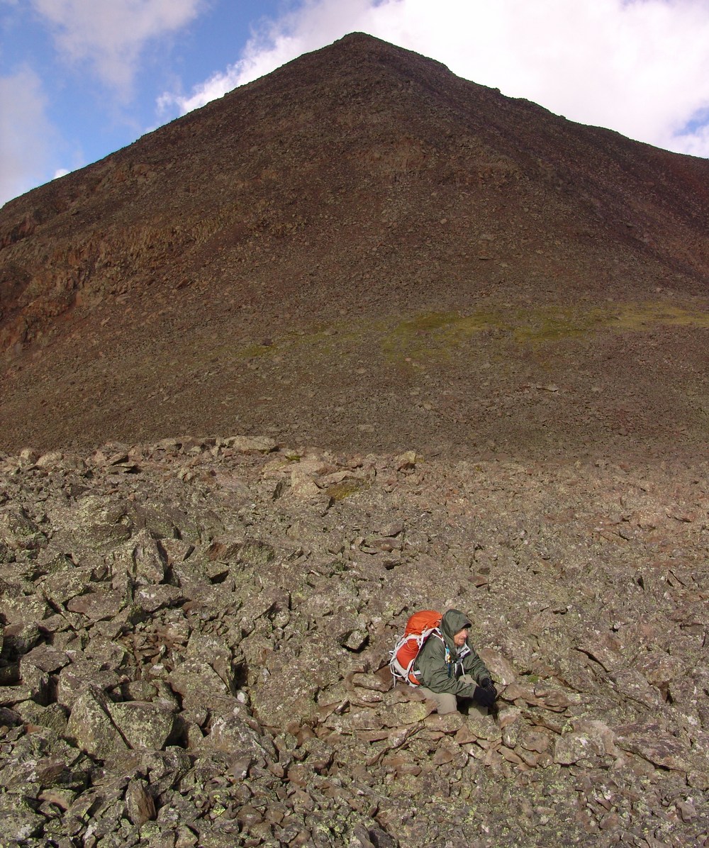
Ray takes shelter in a ring of rocks we found.
From here, it was smooth sailing to the summit. While steep, Rio Grande's final summit block is nothing to be worried about. It is relatively short, and there are even class 3 variations for those seeking out a more challenging ascent. As I crested the summit, I was worried that there would be complete cloud cover in the area and that my view of Vestal Peak and Arrow Peak would be obscured. When I first viewed those two mountains at the top, I was ecstatic. While the weather did indeed obscure much of my view of the Needle Range, the Grenadiers were in plain view.
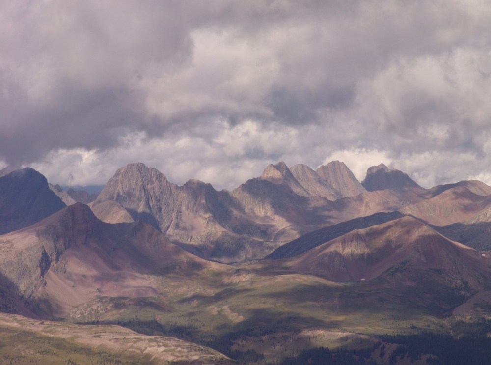
The Grenadier Range.
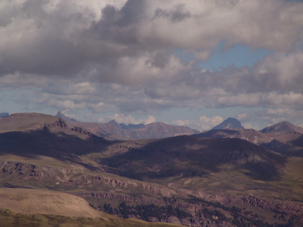
Wetterhorn and Uncompahgre to the north.
A 2800 pano from the summit of Rio Grande Pyramid.
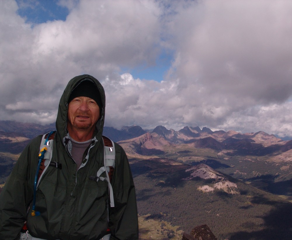
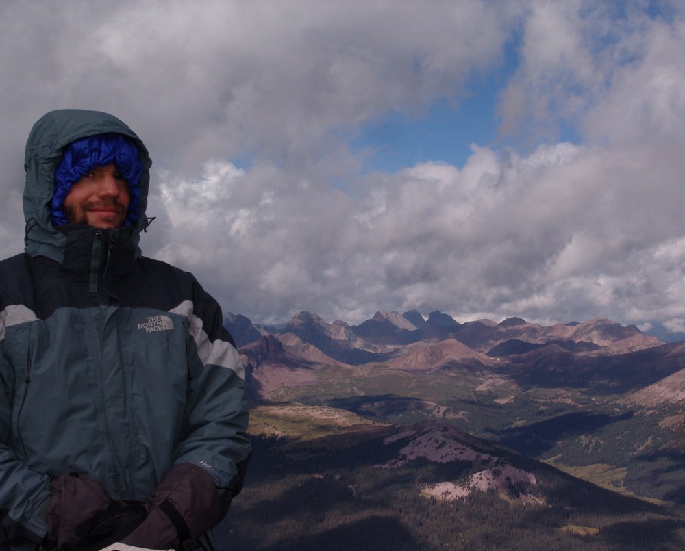
Ray Payne on the summit of Rio Grande Pyramid Matt Payne on the summit of Rio Grande Pyramid

A view east and south. The clouds loomed over us all day long.

A pano looking east. "Fool's Pyramid" or UN 13,278 left of center.
Since it was really windy and cold on the summit, Ray and I opted to head back down a few yards to eat a snack and refuel for the climb back down and hike back to camp. It began to lightly snow, so we headed on down. The weather began to clear for us on our descent, and better views of Rio Grande Pyramid were had from below.
A super-high resolution pano of Rio Grande Pyramid.
Ray rests on the trail in this wide view pano of Rio Grande Pyramid and the surrounding ridges and valley.
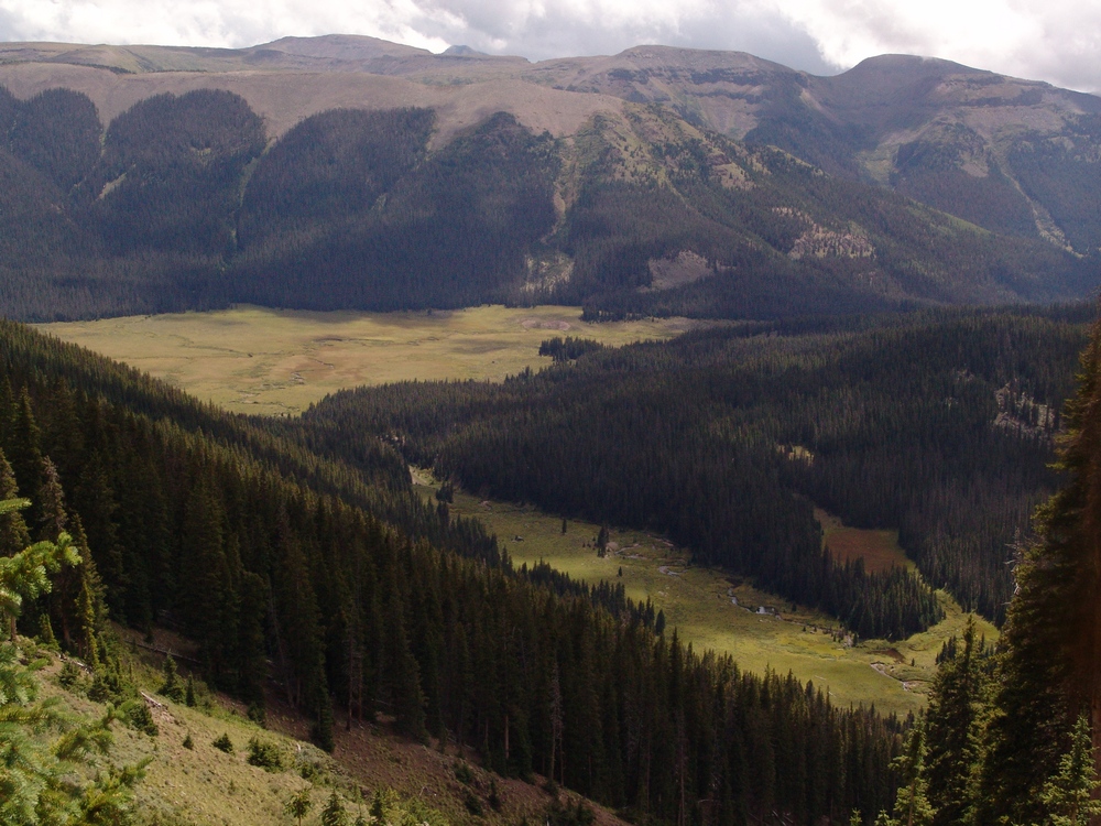
As we hiked down, I was constantly drawn to the deep green and yellow colors of the meadows below.
On the way back down, Ray and I took our time looking for mushroom, and we found plenty to take photos of. The mushrooms were honestly one of the highlights of this trip, because both Ray and I are fascinated by mushrooms.
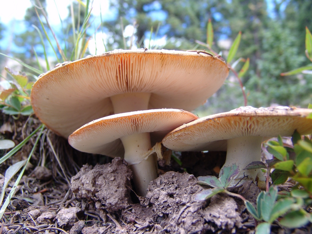
A trio of Fly Agarics.
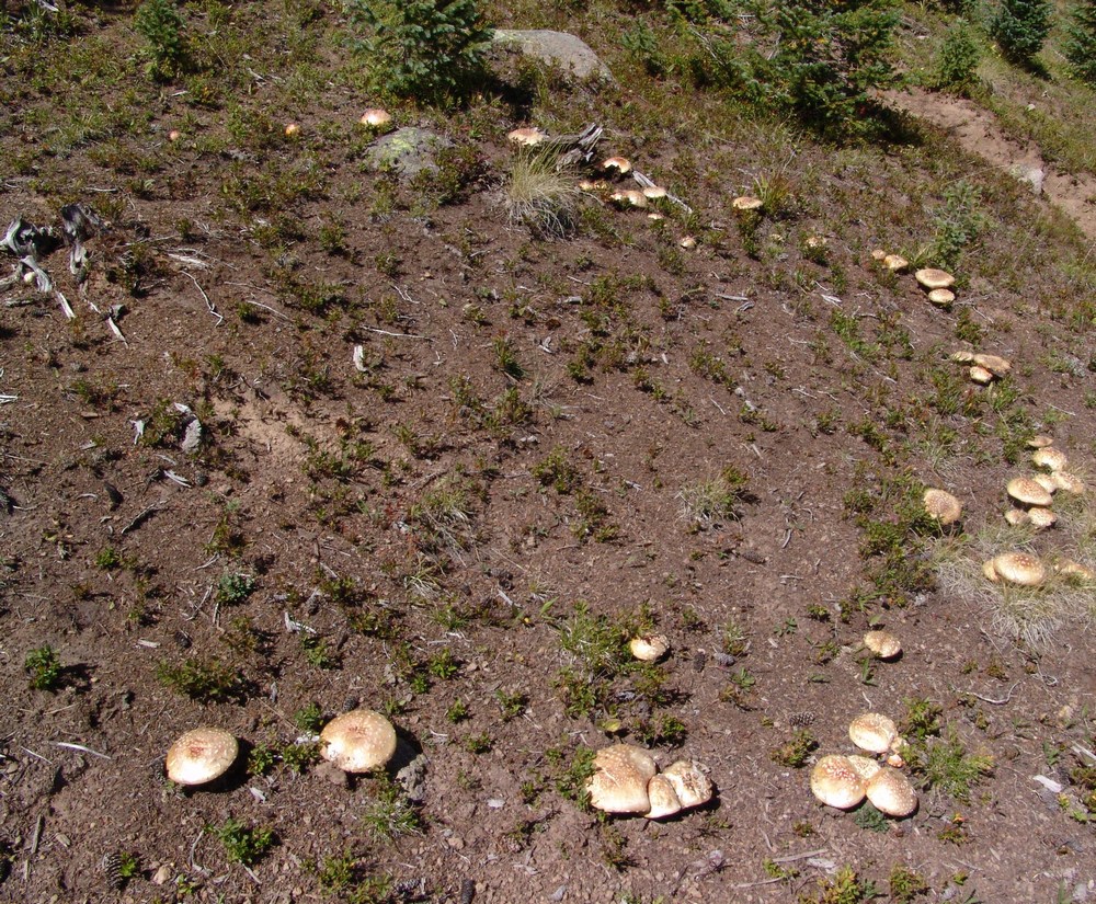
A circle of Agarics.
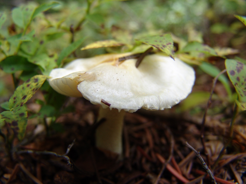
A tiny white mushroom.
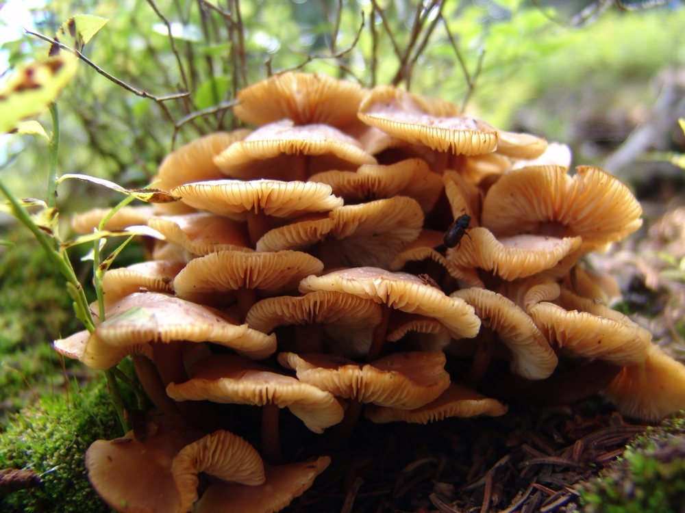
An odd cluster of gooey looking mushrooms.
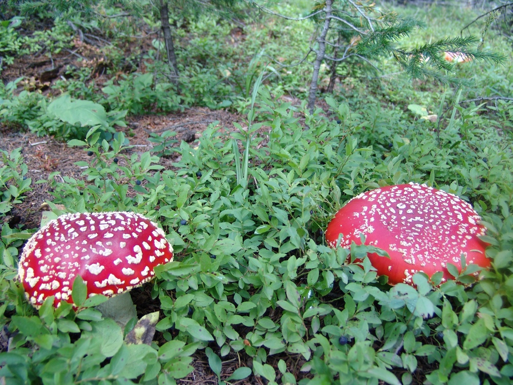
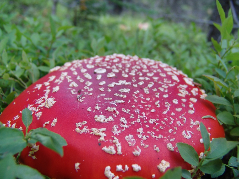
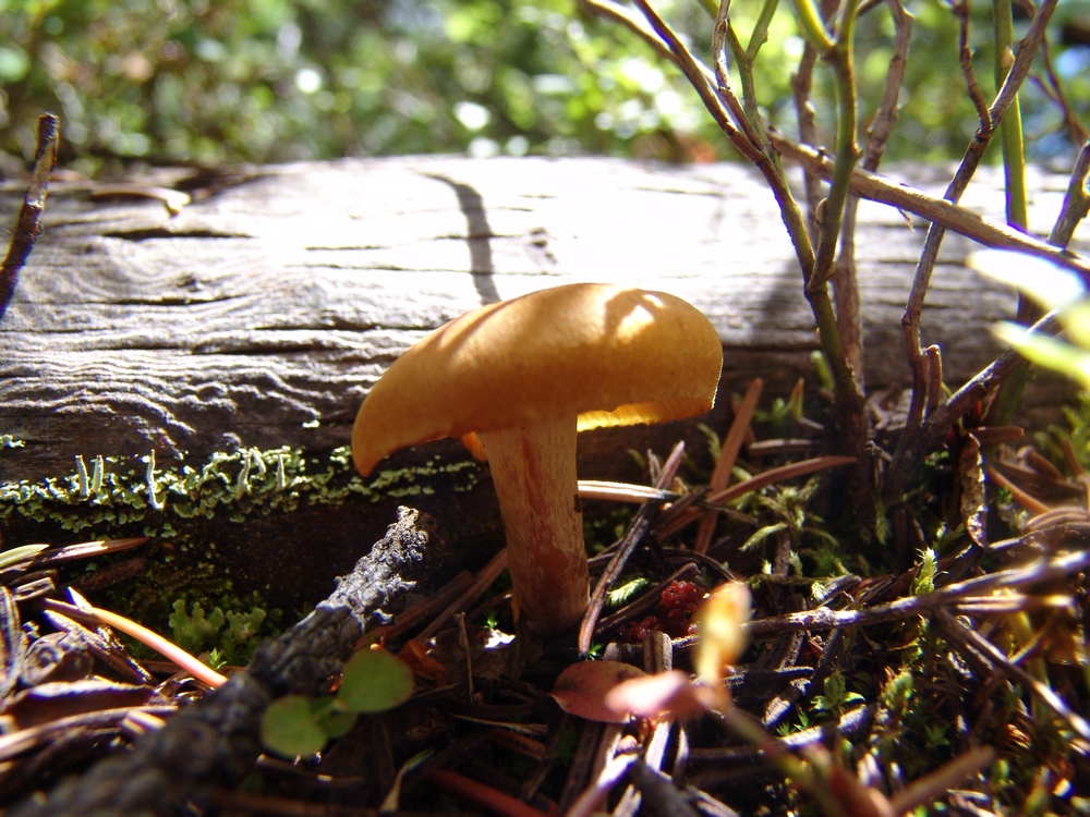
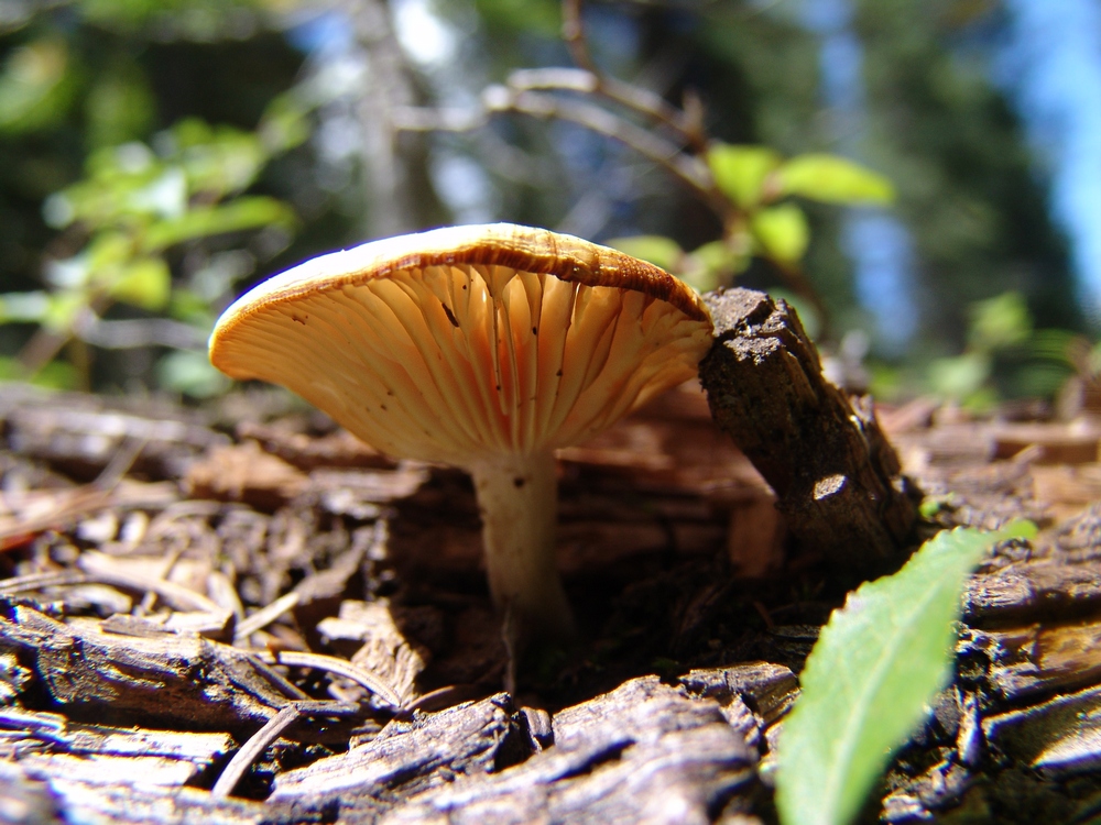
This one looks like a UFO.
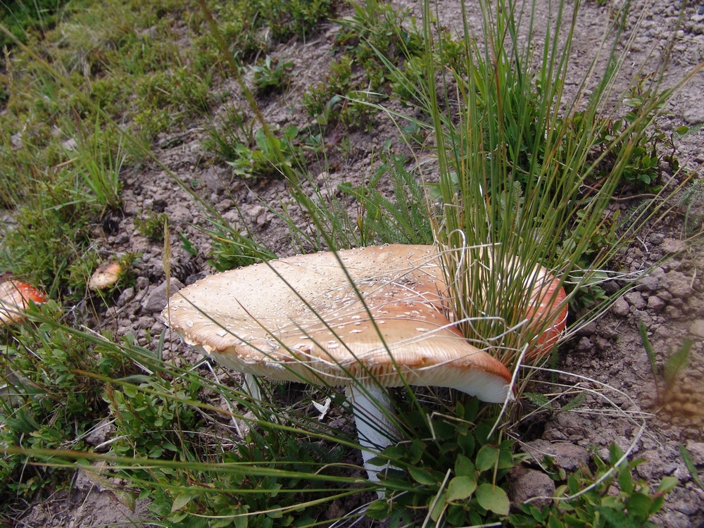
This one grew around the grass...
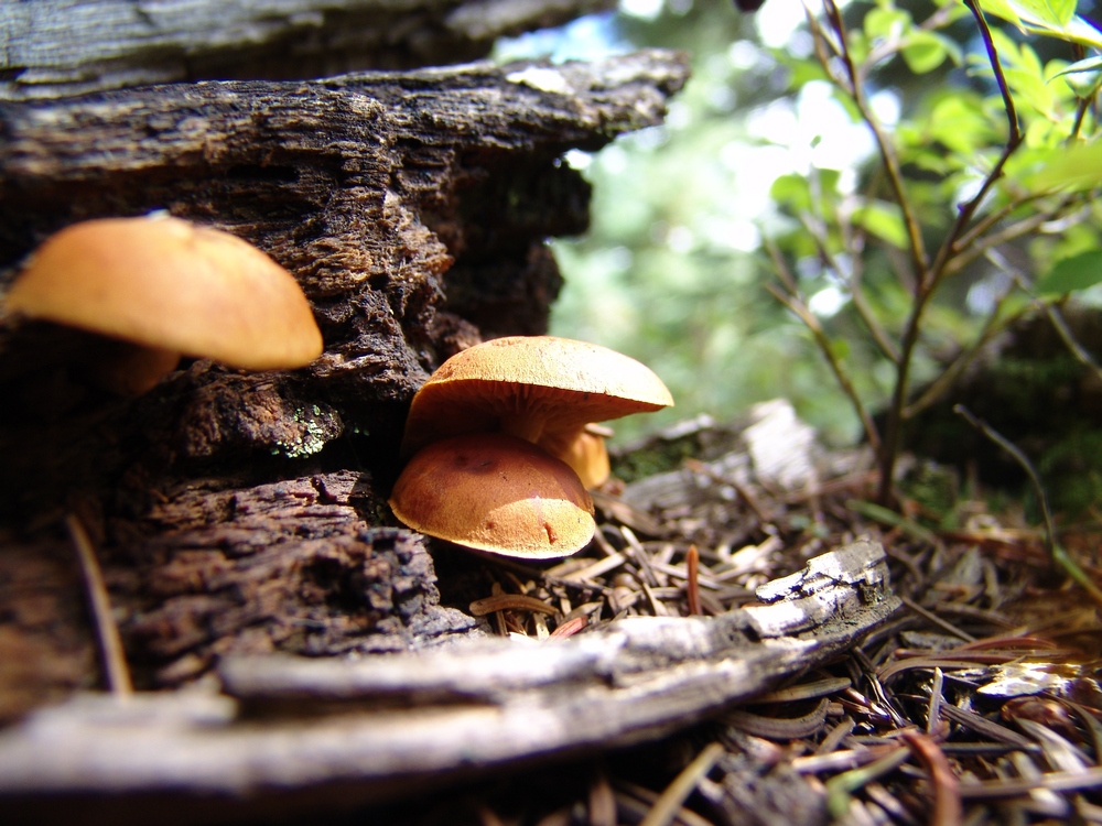
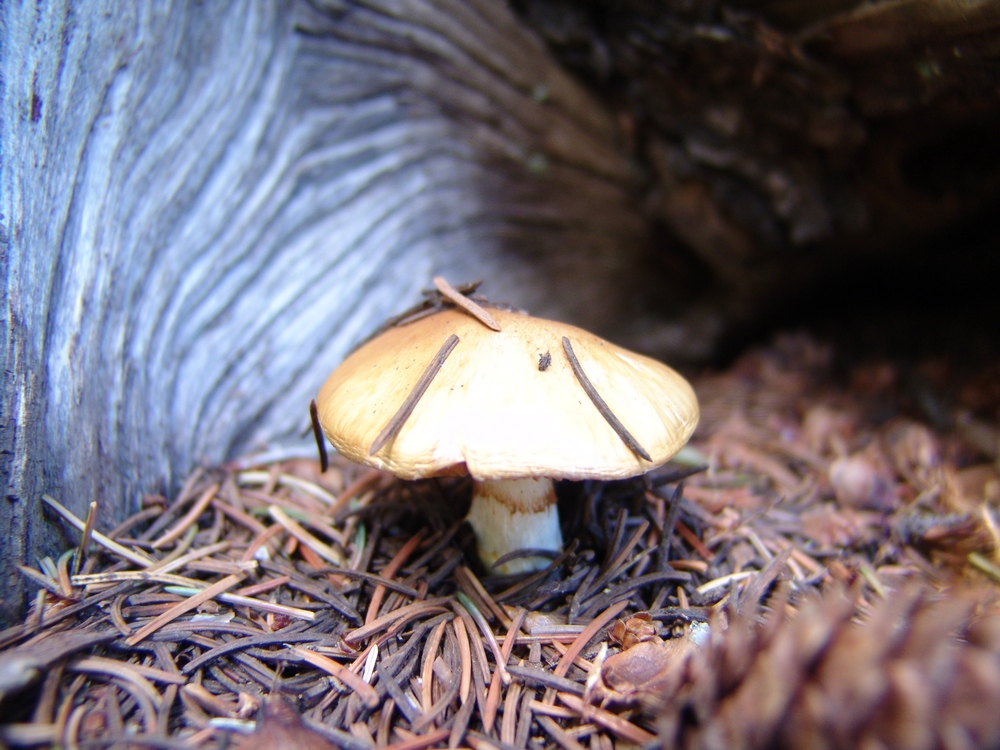
This one had it's own wooden house.
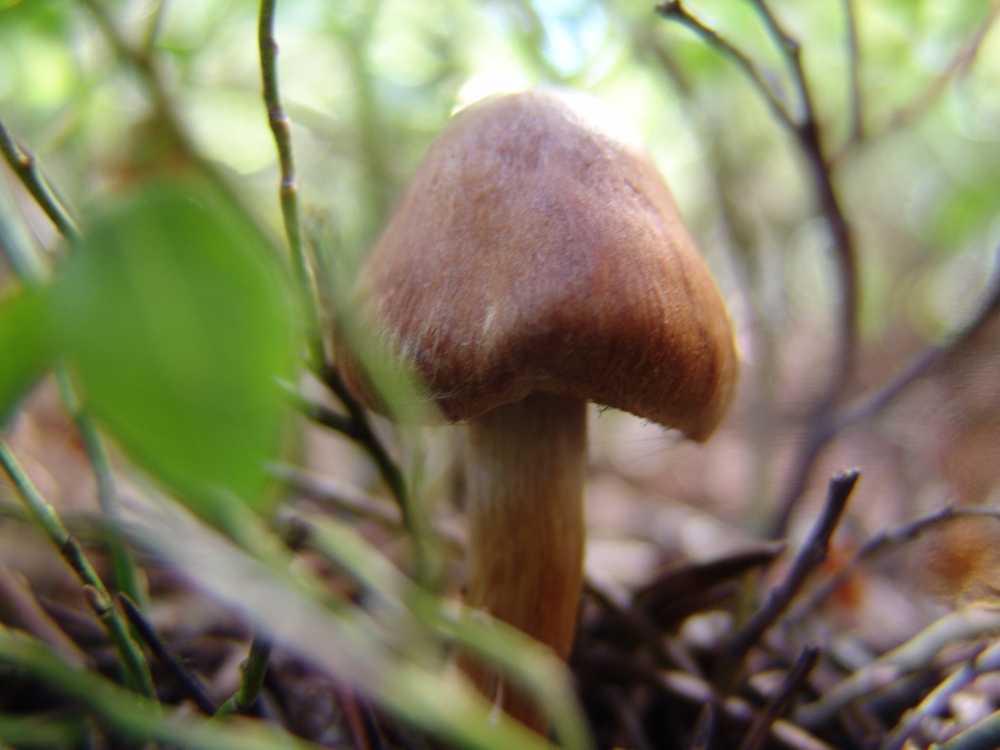
Covered in moss. Or - the Dagobah Mushroom.
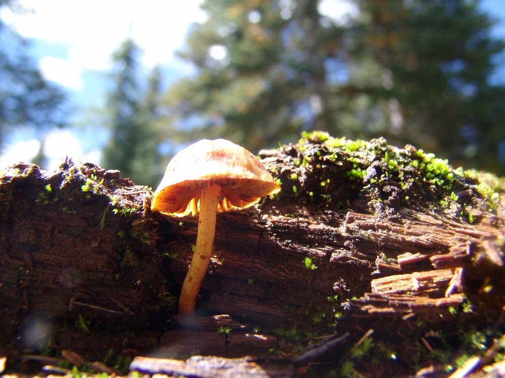
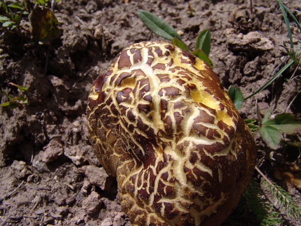
This one caught our eye...
Once back at camp, I decided to get a few more shots of our close-by creek. I think these came out quite well!
Ray and I cooked up dinner - a fitting meal of tortellini, salmon, alfredo sauce, and 4 kinds of dried mushrooms. A meal fit for kings.


