Displaying items by tag: safety
Avalanche Safety
Avalanches are a very serious and dangerous threat to Colorado winter outdoor enthusiasts
Over the last 10 winters in the United States an average of 25 people died in avalanches every year. Colorado has the highest number of avalanche fatalities, by far.
Avalanches are incredibly powerful. Even a small avalanche can kill you. As the avalanche goes down the mountain, it gathers more and more snow, which can bury you quickly.
The best way to prevent avalanche accidents, other than avoiding avalanche-prone areas altogether, is to obtain solid education in avalanche awareness and safety. Is it highly recommended that anyone going into avalanche-prone areas take classes. One great resource to find out about avalanche courses is Avalanche.org. Additionally, Friends of Berthod Pass offer free, high quality avalanche courses each year and a comprehensive resource page on avalanche safety. Lastly, the Colorado Avalanche Information Center provides awesome resources for people looking to learn more about avalanche safety.
By the end of your first class, you should be able to:
-
Understand the basics of avalanche formation and release.
-
Identify avalanche terrain.
-
Know the steps required to plan and carry out a trip.
-
Use the Avalanche Terrain Exposure Scale (ATES) and where Avalanche Danger Ratings and Avalanche Bulletins are available.
-
Find resources for obtaining ATES terrain ratings if their trip is not rated.
-
Find resources for obtaining Avalanche Danger Ratings and Avalanche Bulletins if these are not available.
-
Use appropriate travel techniques in avalanche terrain.
-
Carry out a companion rescue.
-
Understand the limits of your training.
Check out this video of avalanches just to see how powerful they can be:
Avalanche Safety Basics
Here are some basic things to think about if you are going to venture into avalanche-prone terrain:
-
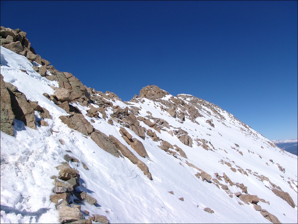
Stick to ridges - it is impossible to be caught in an avalanche if you are at the top of a ridge:

-
Avoid terrain that could slide or that has snow above that could slide.
-
Areas with lots of dense trees are generally safe.
-
The slope must be steeper than about 30 degrees to trigger a slide. Slopes less than about 30 degrees are not steep enough to avalanche.
-
The snowpack must be unstable to trigger a slide - snowpacks are a series of layers stacked on top of one another. Some of the layers are hard and strong, some of them are soft and weak. The snowpack is unstable when a harder stronger layer sets on top of a softer weaker layer and the soft weak layer can barely support the hard strong layer above it.
-
Watch for changing conditions.
-
Be ready to change your plans when conditions change - be flexible and know when to turn around!
-
Make sure everyone in your group talks to each other and discusses what is going on.
-
Plan ahead with contingencies. Make sure the entire group knows and agrees to the plan before beginning your trip.
-
Make sure you and all members of your group can perform a fast and effective rescue - practice, practice, practice!
Avalanche Safety Gear
There are several critical tools of the trade that you'll want to invest in if you're serious about hiking or skiing in avalanche-prone areas. This is not meant to be an exhaustive list. One such item is the avalanche beacon. If you are buried by an avalanche, wearing a avalanche beacon can help people find you. However, it will not prevent you from being buried, it will not prevent you from being killed by trauma, and it will not prevent you from suffocating while buried. Another critical tool is the avalanche probe. The avalanche probe allows you to quickly locate a buried survivor of an avalanche. The last critical item you'll want to invest in is an avalanche shovel. The shovel will allow you to quickly dig the survivor out once they have been located.
One of the latest inclusions to avalanche safety gear is the Avalung device, which, if used properly, can increase your rate of survival if buried. Another new item on the market that is gaining a lot of positive review is the Avalanche Airbag by Backcountry Access. The airbag not only helps prevent burial, but protects the head, neck and upper body from trauma. With its location behind the head and away from the hips and arms, it preserves the user’s peripheral vision and his or her ability to escape the avalanche before it picks up speed.
If you are planning on going into the high country this winter, please take the time to learn about avalanche safety. It just may save you or your hiking partner's life!
Colorado Lightning - A Primer for Hikers and Climbers
The purpose of this article is to further educate the climbing community on lightning hazards. Hopefully, with a better, more complete understanding of the hazardous thunderstorm-prone weather in our favorite mountains, there will be a reduction in the number of deaths each year.
This article is re-posted with the permission of the original author, Casey Dorn from Wynnewood, PA. Casey is an aspiring meteorologist with 2 backyard weather stations that he built himself. He is well versed in Physics and Chemistry and has studied/researched them along with meteorology for about 6 years. His personal specialties are in severe weather and large scale snow storms.
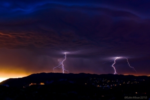
Photo by Robin Wilson
As mountain climbers we all should know that being above treeline (or outdoors AT ALL in some situations) is BAD whenever a current or imminent threat for CTG lighting exists. To really drive this point home: THAT INCLUDES PLACES BELOW TREELINE AS WELL! Large, tall wood objects that point at the sky and catch fire do not serve as good protectors against powerful, tall object seeking, fire ingniting things! But, alas...most of us don’t climb with an emergency house in our backpack so it may be a better idea to learn more about mountain weather in the hope that it will save your life in the future. As you climb, you'll here a plethora of supposed "protections" from strikes while at altitude, but, to be brutally honest here, we need to have a discussion about meteorology and physics for a moment to examine whether or not you would win against a battle with lightning.
A discussion on mountain thunderstorms (the "why us" discussion).
We get thunderstorms in the mountains (especially in the rockies) due to two factors
1) Location
2) Elevation
On the first point, the rockies are situated in what I like to call a "mixing pot" of weather systems. We've got warm moist air coming up from the south, and cold, dry air from the west. Thunderstorms (compared to large scale rain/snow storms dependent on large scale weather systems), require mesoscale instability. In other words, thunderstorms form via convection. To demonstrate this, pretend you've got a pot of water on your stove. As the water heats up..it rises to the top of the pot where it cools, spreads out, and falls back down to be re-heated. Thats great and all, but we need MORE to get a thunderstorm.
If our pot was completely smooth on the inside, you'd be able to heat the water well above its boiling point without seeing any bubbles. The water becomes "super heated". Now, if you then dropped a pebble into that water, you'd see a sudden explosion in which all of that water turned to steam at once. In short: we need a "trigger" in the atmosphere to cause what is known as "explosive development" in clouds. Its just like your pot of water...in the morning it simmers and creates cumulus clouds. But, in the morning, the atmosphere can sometimes have what is known as an "inversion", where COOL air is above WARM air. Sometime during late morning, this inversion is impacted by the convective energy rising from the ground, and we get a sudden "trigger". Suddenly, we can get warm moist air to rise ABOVE the point of condensation (dew point), creating towering cumulus clouds that rise very high in our atmosphere. These clouds are then sheared by high altitude winds, we get an anvil, and poof...thunderstorm.
Now, in all of this...we've answered a few important points:
1) The reason thunderstorm development occurs so quickly is because its a small scale "mesoscale" feature that develops suddenly due to a "trigger".
2) We see cumulus clouds in the morning but don't see thunderstorms (generally) until the afternoon because of inversions found in our atmosphere.
3) The rockies are situated in a region which contains all the right ingredients for thunderstorm development.
4) IF YOU SEE EVEN ONE MODERATELY TALL CUMULUS CLOUD BY ABOUT 8:40 AM OR SO, EXPECT AFTERNOON THUNDERSTOMRS!!!!!!
Short expansion on #4: Since the sun doesn’t really get a good chance to heat things up until about 9:00am during the summer, clouds forming before that point indicate significant moisture and heat already exists in our atmosphere. All you need is a trigger.
---
Elevation...mountains making the weather just that much worse.
I’m going to discuss this point from the perspective of a climber who has just climbed to the summit of Mt. Elbert.
Its 11:30am, and a thunderstorm has formed about 20 miles to my west. I’m not very concerned. Dry air mass thunderstorms (a typical, non front associated, joe schmo storm that doesn’t last very long) don’t normally last more than an hour. This is because the storm is not “tilted”. As the warm air rises, it forms an updraft that draws in warm, moist air..which rises...and draws in more warm, moist air (etc...). Now, once the developing storm reaches a certain height, it spreads out (from the convection discussion). For a short time, the updraft will continue...even as rain (and graupel) begin to fall from the storm. But, soon, the downdraft (comprised of cool, rain filled air) chokes off the updraft of warm, moist air and the thunderstorm weakens, and dies. Now, I could transition this into a discussion on directional wind shear and how winds that change direction as a function of altitude would remedy this problem...but that isn’t quite so common in the Rockies (that deals more with severe thunderstorms in the plains).
Armed with this knowledge, I sit back and watch the thunderstorm rumble towards me, high altitude winds PUSHING IT FROM WEST TO EAST. But, as the storm approaches...it doesn’t dissipate like I thought it would. It chugs itself up the mountain and STRENGTHENS! In fact, I’ve ignored a very critical fact that is unique to the mountains.
The mountain is a roadblock in the path of the thunderstorm. It won’t go around it because the prevailing winds generally travel from west to east, so its forced upwards.
Now, as the storm complex is elevated, it begins to rise and reform. The storm will first grow more frayed, but in their place, new clouds will form into “turrets”, vibrant and dangerous.
The mountain forces the clouds to rise, initially causing them to grow colder. As temperatures drop, the air can hold less moisture, hence we see heavy rain and cloud shrinkage. But, the clouds also get a boost from the mountains. By the afternoon, the rock is warm, and thermal pockets are scattered like land mines throughout the rockies. Thermals are regions of rising air, and thunderstorms passing through get a “boost” from them, renewing the updraft and extending the life of the storm. As a side note, this process can also form stand alone storms that form directly above the mountains.
In addition, the storm will become stronger...or at least will appear to do so, as graupel (small hail) makes its way to the ground, pelting me as I hightail it off the mountain.
It is also at this point that I begin to notice a tingling sensation on my body. Not good....
As it turns out, these small ice pellets (graupel) have the effect of charge separation.
Ice particles form in clouds well below 32 degrees F. The reason is basically the same as the “boiling pot of water” idea I discussed earlier. Ice freezes ONTO A SURFACE. This could be dust, rock, hair, a hillbilly dancing in a circle...whatever! The important thing is that our conventional “ice cube” is filled with impurities upon which water has frozen into ice. In thunderstorm cloud tops at 30-60 K + feet....we don’t see that many of those things. So, at about 5 degrees F, tiny ice particles about 15 micrometers large begin to form. These act as nuclei for the water, which now quickly freezes onto the surface of the particle. These particles will grow larger and larger until the updraft is unable to keep them aloft, at which time they begin to fall through the cloud. As this happens, they induce charge separation. You see, as the particles bounce around up in the clouds, they collide with each other and with smaller ice particles. The graupel gets a negative charge, while the ice crystals get a positive charge. Since the ice particles are smaller, the updraft holds them aloft and forms into the anvil, while the larger graupel falls towards the ground.
Now, as the grapuel falls, it encounters ice particles that have formed much lower down in the cloud, and at these altitudes, the charge idea is reversed, collisions create a positive charge on grapuel and negative charge on the smaller ice particles, mainly due to the warmer temperatures found lower in the cloud. Now at the bottom of the cloud, the grapuel has a positive charge.
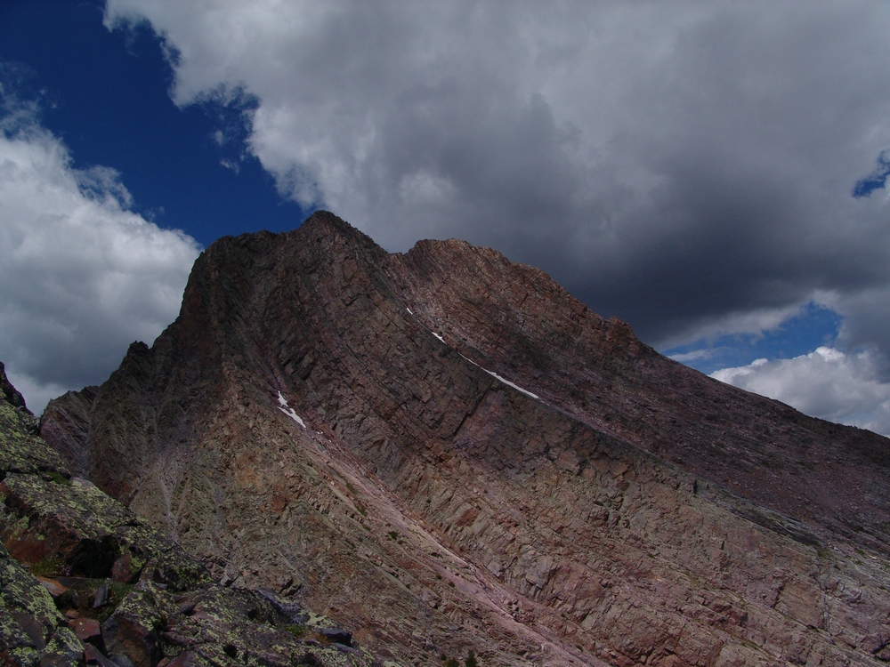
A storm builds over Arrow Peak as seen from Vestal Peak - photo by Matt Payne
Cross section of the storm at this point:
Top: positive
Middle: negative
Bottom: positive
Important to note! Because of the pattern I’ve just described, you’ll see intracloud lightning 1st because the storm doesn’t need to be as well developed to discharge between itself. The storm will discharge between opposite polarities, so top-middle or middle-bottom. This can occur even if the storm is only producing virga (precip not reaching the ground).
As the storm begins to produce observable precipitation (IE reaches the ground), you’ll [generally] begin to see CTG (Cloud to Ground lightning). CTG lightning will start under the shower curtain (area of precip reaching the ground), and gradually radiate outwards to approx 11 miles outside of the curtain. You ARE NOT safe within that radius.
Meanwhile, back on Elbert, I’m crouching down as I’ve begun to feel buzzing in my body and my hair is beginning to stand on end. My hair is standing up because the ground is positively charged. As the positive charge on the ground and negative charge in the middle of the cloud reach a maximum voltage difference, they start to reach towards each other...literally. The positive charge goes upwards (in the process passing through my body and making my hair stand up as it tries to repel itself), while the negative charge heads downwards in what is known as a “leader stroke”. When they meet, negative charge travels along the path of the leader stroke which has ionized the air (making it able to conduct a charge), and the negative charge in the cloud (electrons), transfer to the ground. The energy release is this process is so powerful that photons (light particles) are emitted and we see a flash of lightning, and the heat (hotter than the surface of the sun) causes air to expand rapidly around the bolt creating thunder.
It is for this reason that hair standing on end is a good indicator that something in my immediate area is about to be struck by lightning (which may or may not include me).
Some lightning math....you against lightning, who wins?
Lightning lasts for a very short time, but it is more than enough to kill me as I crouch down on Elbert.
Lets look at the math...
Lightning is DC (direct current)...equation for instant power (IE we divide by seconds)
P=IV Where “P” is power in Watts (joules/sec), “I” is current through measured in amperes, V is the potential difference, measured in volts.
Numbers: 5,000-20,000 amps of current goes through your body.
About 500,000,000 volts, (peak-instant).
About .2 seconds total for the entire electrical sequence, made up of many discharges (flashes) of about 1 millisecond.
Power: billions of volts.
Heat: 54,000 degrees F.
Ouch...
All things considered, this data quite frankly shows that lightning striking you directly...will kill you. It really doesn’t matter if you crouch down, stand up, do the Macarena, offer your soul to a squirrel...you’re toast, really, seriously! To those that quote the “80-90% survival rate”, the majority are NOT direct strikes. In truth, there are rare cases in which a person survives a direct strike..but really, do you want to test that theory out on a 14er? I don’t.
TO LESSEN THE EFFECTS OF A NON DIRECT STRIKE
(Note that I’m not guaranteeing this will work, it should, but if it doesn’t...I don’t want to get a subpoena...(etc)).
1) Take your backpack off, throw metal poles away (etc...). The correct position in a lightning crouch is difficult already, and with a backpack you risk imperfect technique...not good when your life depends on it...and METAL poles, metal this, metal that...self explanatory...lose it!
2) Crouch down at least 50 feet from other members of your group, heels together, toes apart. You should be up in releve? (fancy term for being on the ball of the foot/tip toes). DO NOT PUT THE ENTIRE FOOT ON THE GROUND. You want to have as little of your body touching the ground as possible!!! You want your heels touching so that current running through the ground enters one foot, then goes directly to the other foot and exits, instead of going all the way through the body (remember...we’re not trying to prevent direct strikes here but rather residual current...a true direct strike will certainly kill you).
3) In releve and crouched, push your knees out to the side as far as they can go (like doing a butterfly stretch, but standing).
3) Cover your ears with your hands but keep your elbows out to the sides. It is best to keep your elbows from resting on your knees just in case current running through your feet makes its way up the legs...i.e., to your brain if elbow connects to knee. If you get tired of holding the pose though, resting on the knees would be better than dropping out of the crouch.
4) Crouch your head down towards your chest..again, another reason to have legs turned out...knees+possible electricity+head=really bad.
Remember that this crouch WILL NOT protect you against a direct strike, nor is it a fail safe for any type of strike direct or otherwise. There is NO magic cure against lightning, because we are made of water and easily damaged organs...while lightning is 54,000 degrees and contains enough electricity to power a moderately sized city for a month. Perhaps the best solution may be to get off the mountain sooner....
And through all this, I haven't even mentioned the wonderful time you'll have trying to descend from one of these mountains after a downpour...even if you DON'T get struck...
Through this article, I hope that I have helped explain at least one weather awareness fact that wasn’t already known. I just couldn’t stand reading the posts of some forums that felt that the precautions were stupid/chances were low (etc...). People DO die from lightning strikes, especially in the mountains. Indeed, we don’t have that many of them out here in the Rockies...but it isn’t for lack of storms (as many of us can attest). Its because we always find members of our climbing groups that do the right thing and make sure we head down when weather threatens. But as of late, I feel that some (myself included) have gotten so used to the lack of weather related deaths on peaks that we’ve begun to take risks with our lives that we all know are extremely foolhardy. I’m being generic here, and I’m sure that most of us remain strong followers of the 12:00pm rule...but hey, when you're only 100 ft from the summit...
This year, we’ve already heard of an above-normal number of deaths in the mountains. This is my opinion mind you...but perhaps we can avoid at least some of the deaths by becoming more educated about the risks involved with our endeavors.
For more on mountaineering safety, please read this 100summits.com article.


