2018 will be the year that I finish my lifetime goal of climbing the highest 100 mountains in Colorado. Or at least that is what I keep telling myself to stay motivated! Having climbed Dyer Mountain back in May, and Silverheels and Buckskin earlier in June, I found myself faced with only five mountains left to complete my goal: Stewart, North Apostle, Ice Mountain, Cathedral, and Thunder Pyramid.
I've been eyeing Stewart ever since I moved to Durango in 2015 and it was the very last Centennial I had left in the San Juan Mountains, which is kind of crazy to think about for me considering how many Centennials there are in the San Juans! I had made plans to climb it on several occasions but never could pull it off due to weather or some other unforeseen event. At the absolute last minute, I changed my plans from climbing Cathedral to climbing Stewart. I threw all of my backpacking and climbing gear into my car late Thursday after work and head east on Highway 160 towards Creede. I did not know what route I would take when I left the house. I had tentatively sketched out two routes - one was the standard route following the Cebolla Trail which required five hours of driving time from my home in Durango even though as the crow flies it was only 75 miles from my house. The other route was to go to Creede and drive past the Equity Mine and backpack in. There were a couple of choices to make for that route too - I could go up and over San Luis Pass, down Cascade Creek, up Bondholder Meadows and up the Cebolla Trail to Baldy Chato and ultimately Stewart; or, I could be super adventurous and hike up San Luis Pass, take the Colorado Trail to the base of the 14er San Luis Peak, climb that, climb Baldy Alto, climb Stewart Peak, and then loop all the way back down via the Cebolla Trail and back up to San Luis Pass. It sounded absolutely nuts so that's what I chose.
As always, you can see and download my full route and GPS tracks over on the incredible app, Gaia GPS, which I use on my iPhone to plan, track, and follow my routes on these trips. It is absolutely invaluable and worth every cent. I personally love that you have full access to all USGS topo maps and National Geographic Trails Illustrated maps as well. You can use the app while in airplane mode and even save maps for offline use. To get a nice discount on the application, follow this link and you'll also support my efforts to keep this site running.
My full stats for this particular backpack and climb, which included summiting 14er San Luis Peak (14,014 ft), 13er Baldy Alto (13,698 ft), 13er "Column Ridge" (13,795 ft), 13er Stewart Peak (13,983 ft), and 13er Baldy Chato (13,401) all in one day with my backpacking pack. I'm not bragging, but damn that felt gooood.
- Peaks climbed: 5
- Miles hiked: 22
- Nights: 2
- Time: 14 hours, 22 minutes
- 5,619 ft. elevation gain
- Elk seen: over 400!
For this trip, I decided to pack quite a lot of camera gear (by the way, these are affiliate links and using them helps me pay for this site and to bring you better content):
- Sony A7R2 Camera
- Sony 12-24mm wide angle lens
- Sony 55mm f/1.8 lens
- Sony 70-300 telephoto lens
- Feisol Tournament 3442 tripod
As an aside, you can use this link to learn why I shoot with the Sony system and to find a tool I built to help you choose a camera system for backpacking.
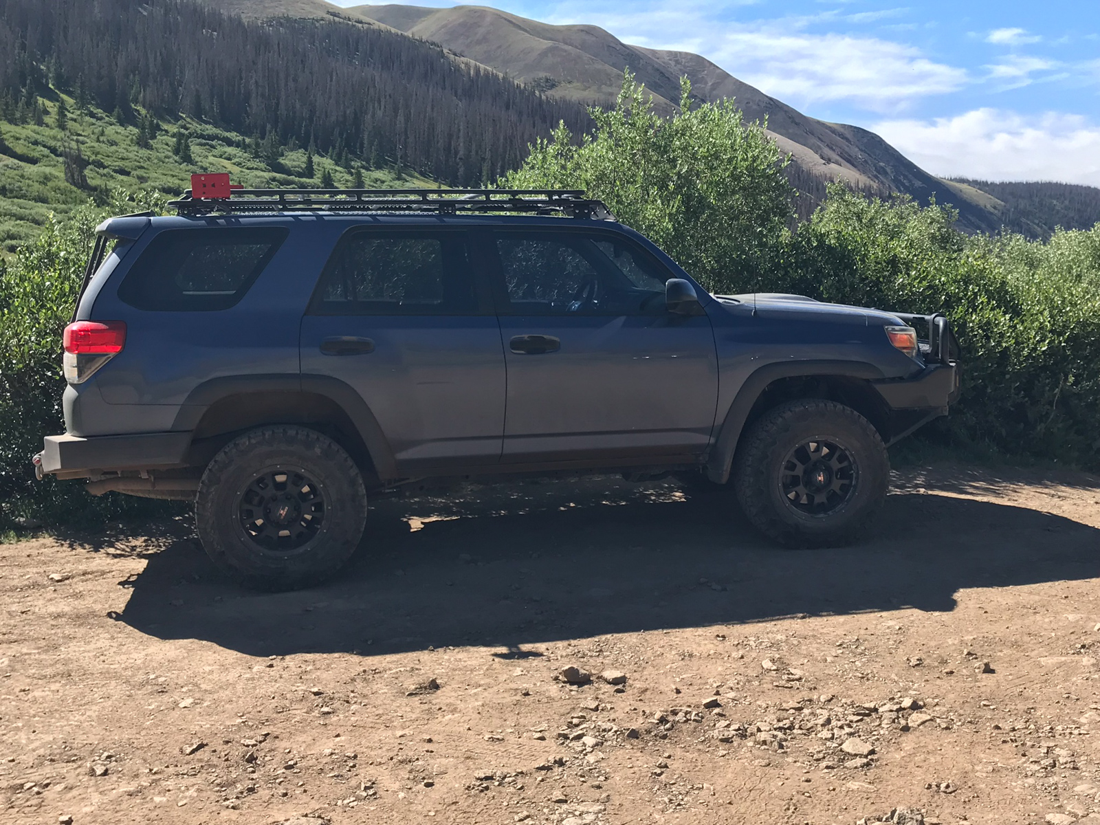
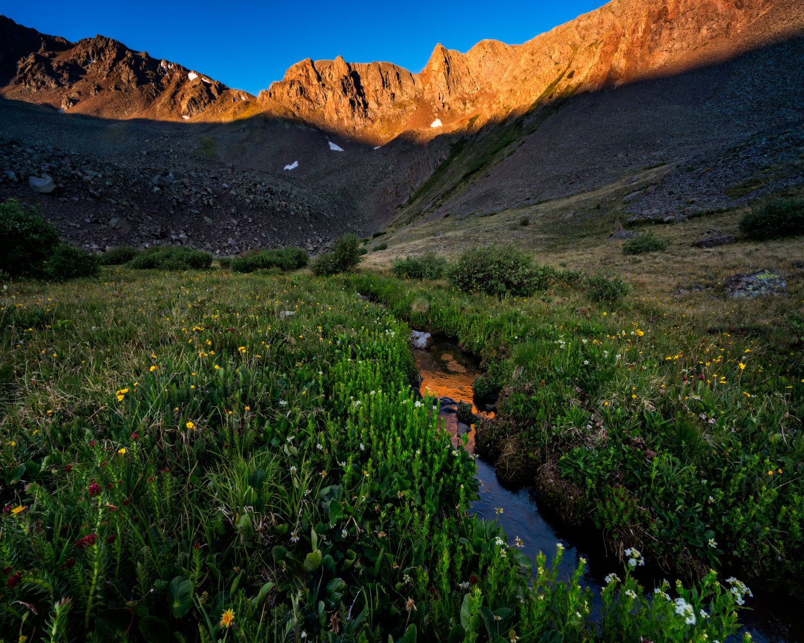
I arrived at the 4WD drive trailhead in my trusty Toyota 4-Runner at 9:45 PM. I debated sleeping in the car and getting an early start but I was still full of energy, so I donned my gear and headlamp and head off up the trail towards San Luis Pass, which I knew to be only about a half mile up the trail. Hiking in the dark is always eerie when you are by yourself - every movement, sound, and shadow reminds you that at any given moment a mountain lion could end your existence. I had to push that out of my mind a lot on the first night. I hiked 3 miles and found a nice campsite right off of the Colorado Trail at around 11:30 PM. I did not get much sleep due to aforementioned thoughts of mountain lions (which was probably totally irrational). I took a couple of photos before going to bed:
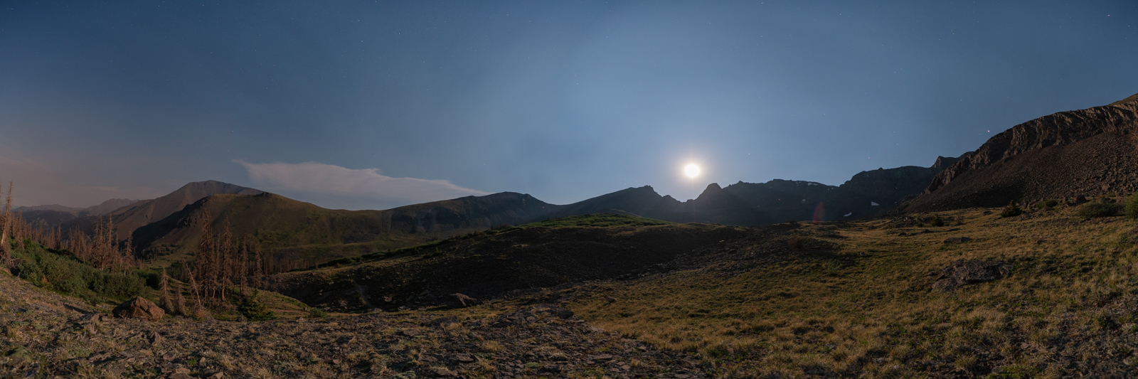
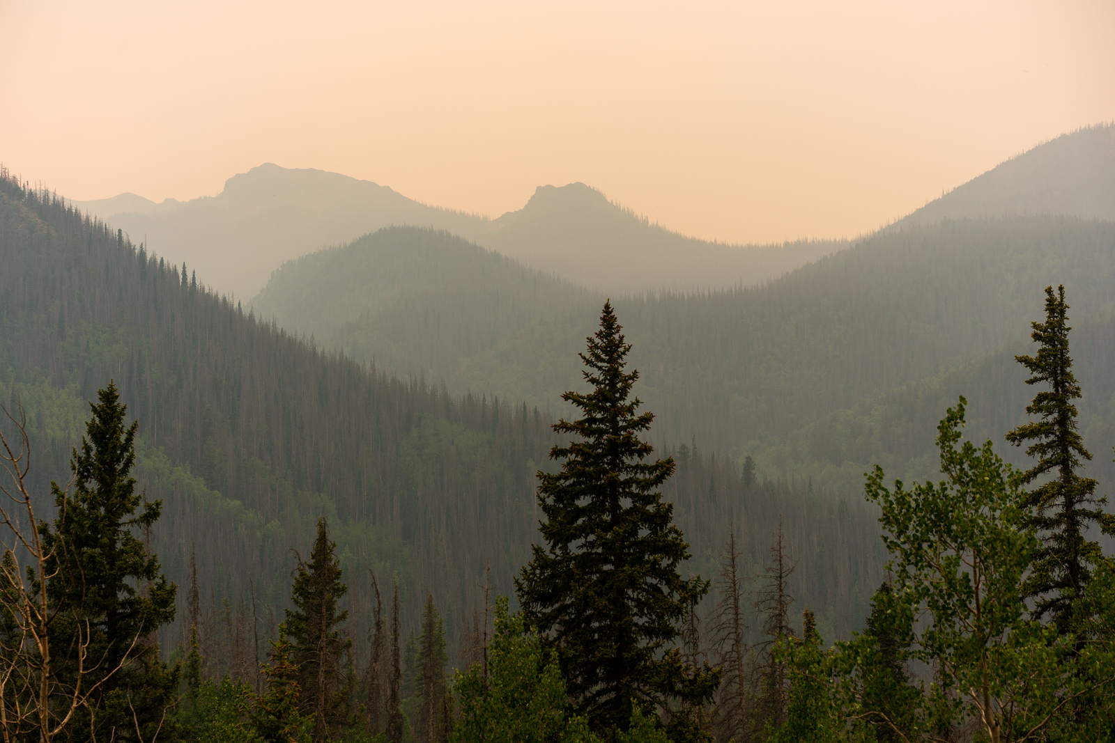
The moon was in full force and smoke was in the air from the blazing "416 Fire" that was raging near Durango all month. The air quality here was not great either, but I managed.
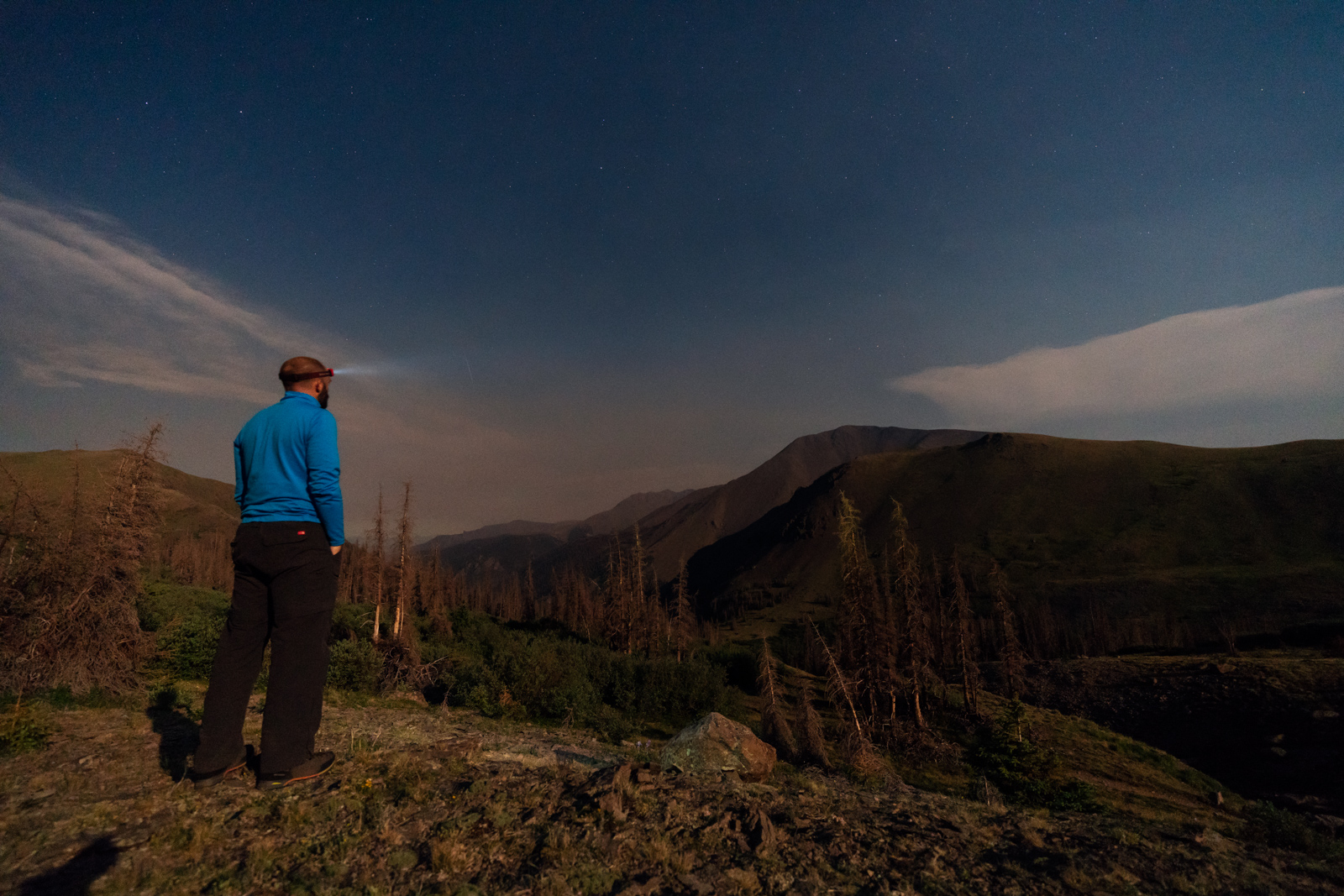
I set my alarm for 4:30 AM, hoping to photograph something interesting at sunrise. I think I got maybe 3 hours of sleep total and tossed and turned all night long. It was cold and the moon was quite bright. I was greeted at dawn with a nice vibrant display of light on UN13,285 to the North of me.
I found several different compositions nearby and had a good time shooting with the Sony 12-24 wide angle lens.
After shooting sunrise, I packed up all my gear, ate some food, and head out. I expected the trail to be very straight-forward until my turn-off for San Luis Peak, being that it was the Colorado Trail and heavily trafficked. Indeed, it was a very nice trail and easy to follow. The scenery around me was pretty nice as well. I totally think this is one of the better sections of the Colorado Trail there is.
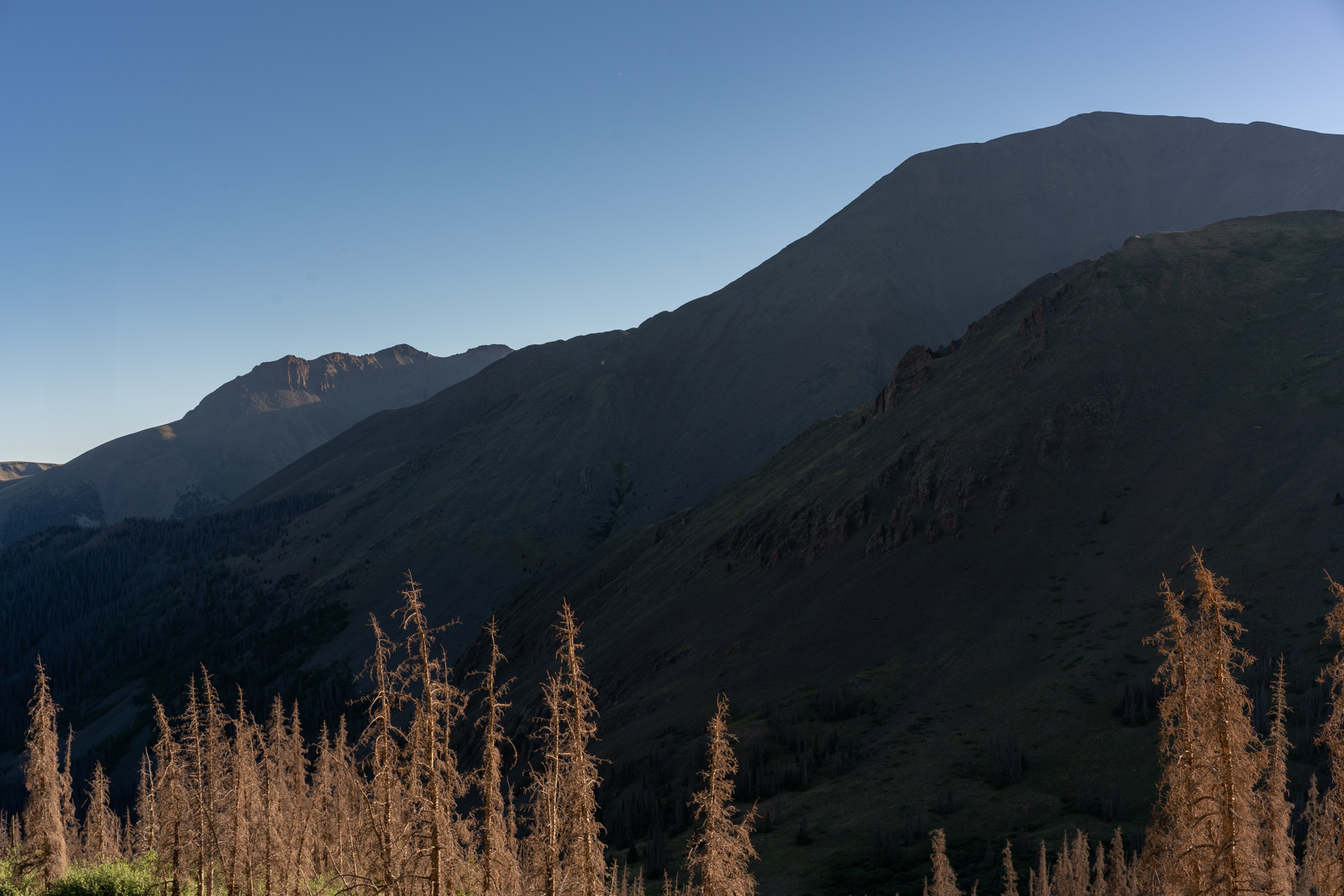
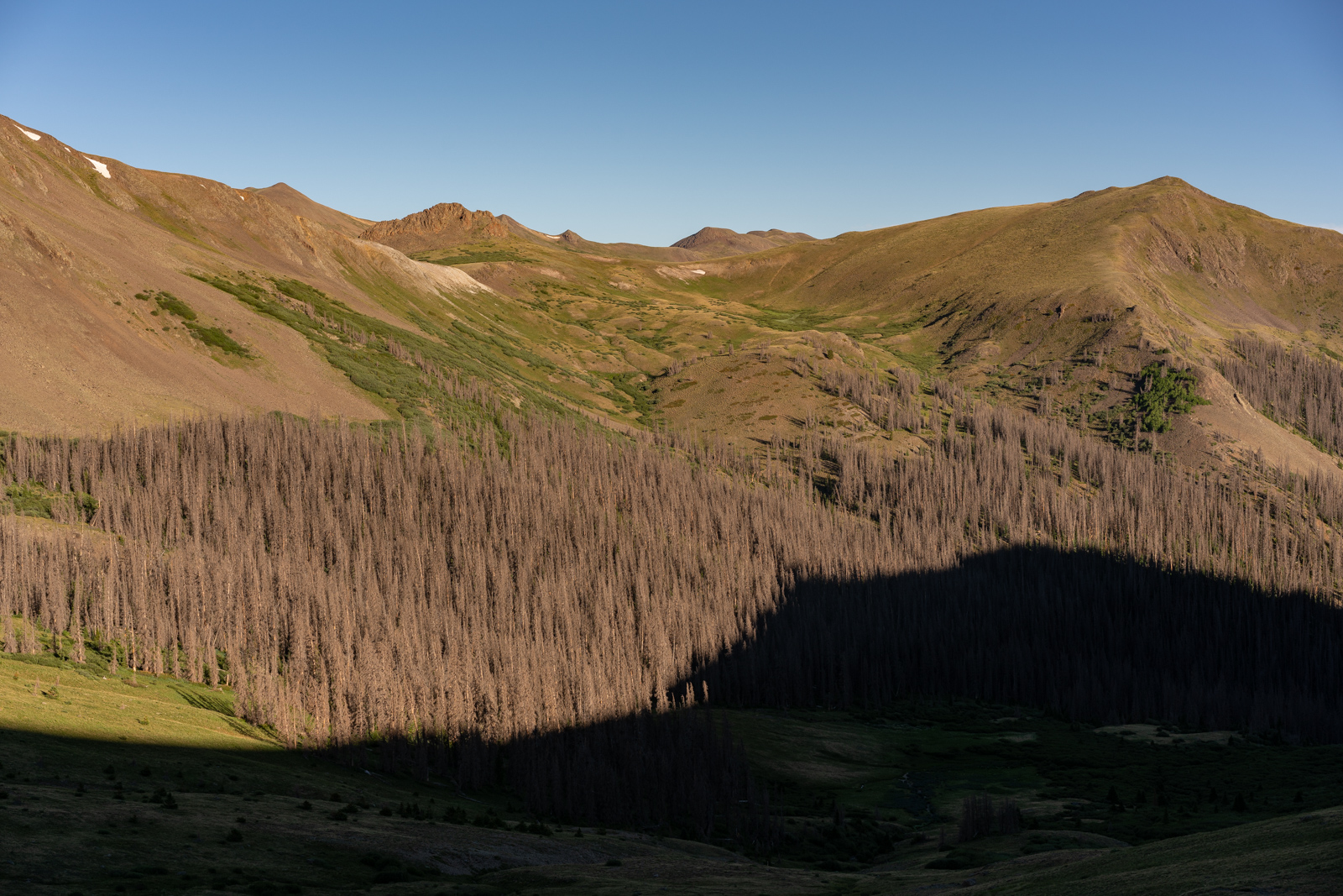
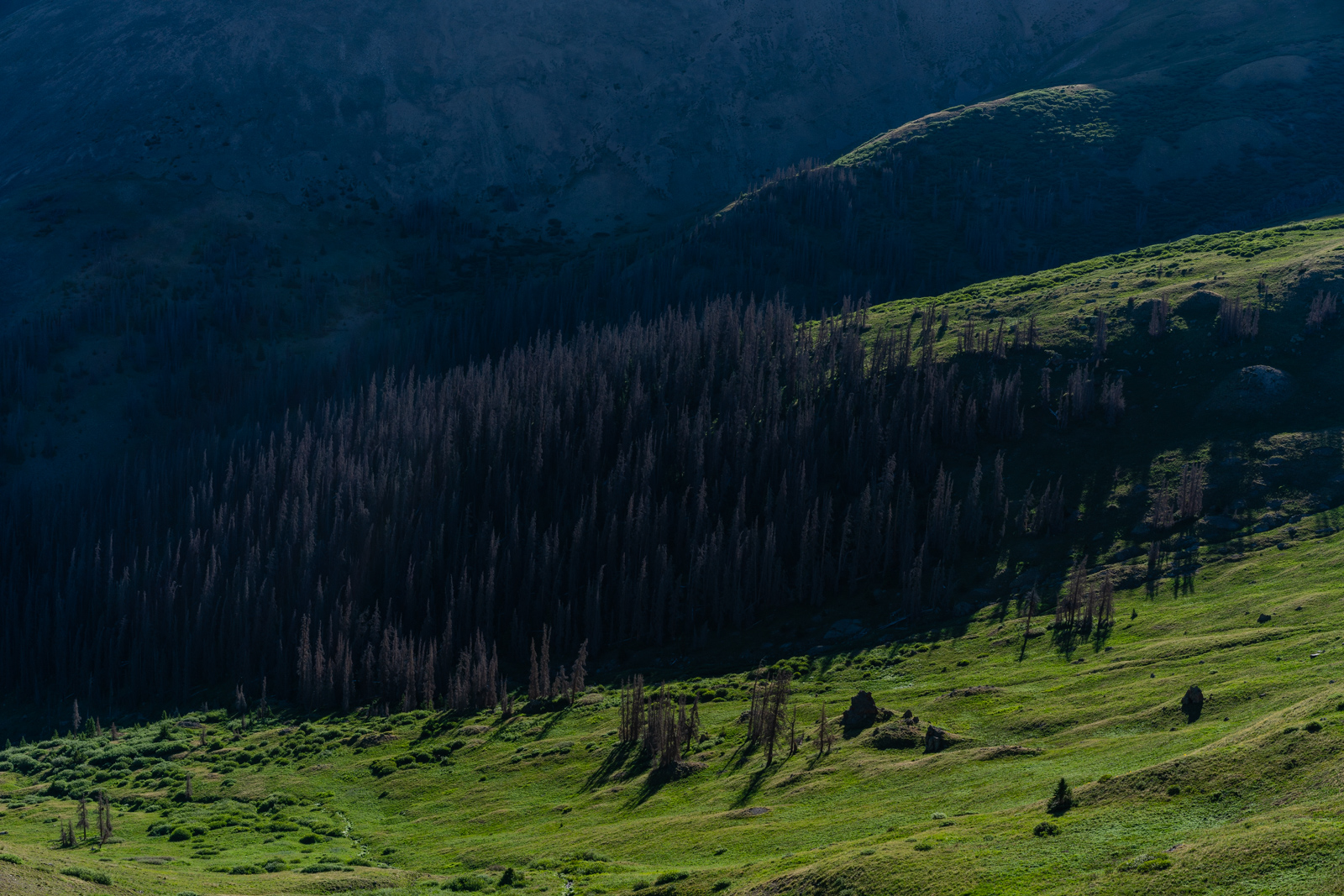
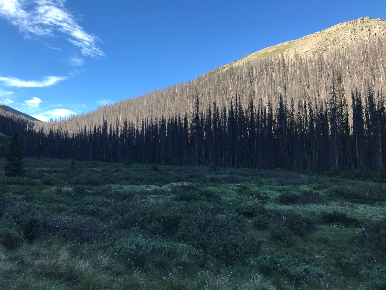
The only downfall for hiking in this part of Colorado is the immense Beetle Kill, caused by the mountain pine beetle. In years past, the temperature was much colder in the winter and it killed off most of the beetles; however, due to climate change, these beetles were able to thrive and destroy many trees in this part of Colorado. It is truly devastating to see the impact.
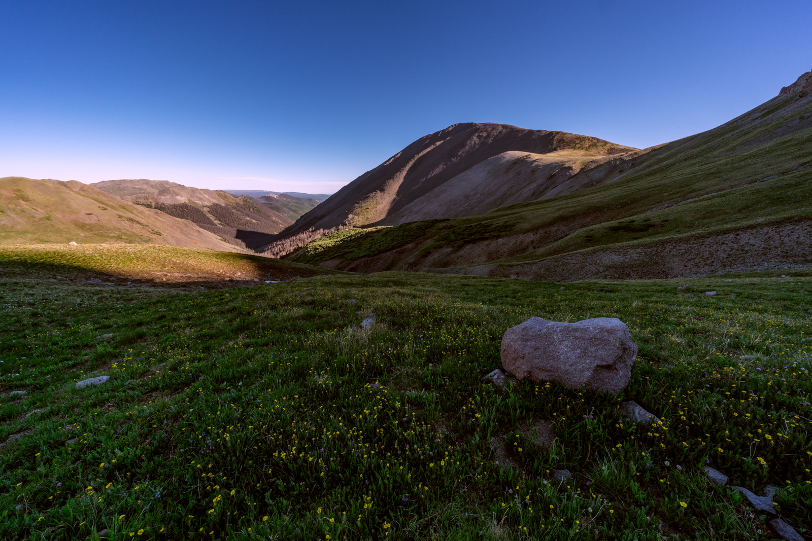
I kept on hiking, keeping a strong pace uphill. My first destination, San Luis Peak, loomed in the distance above me.
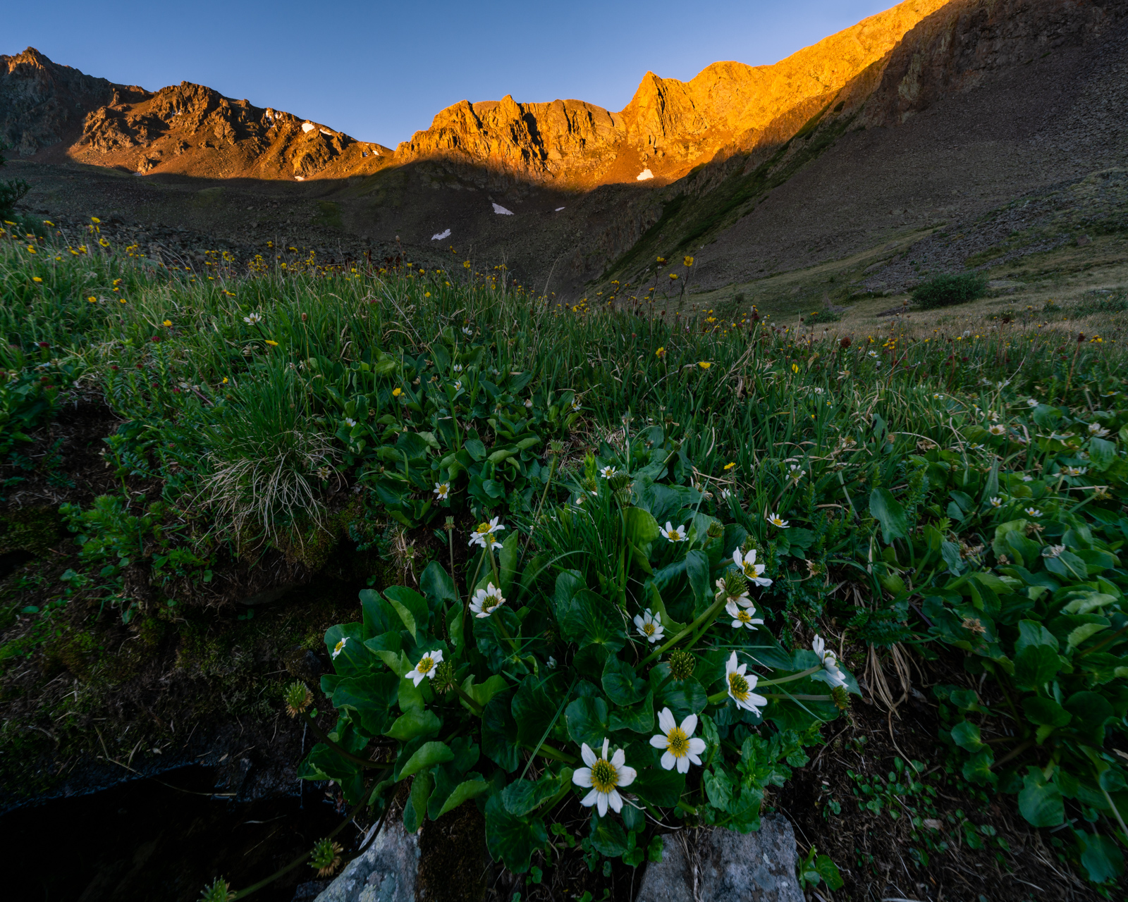
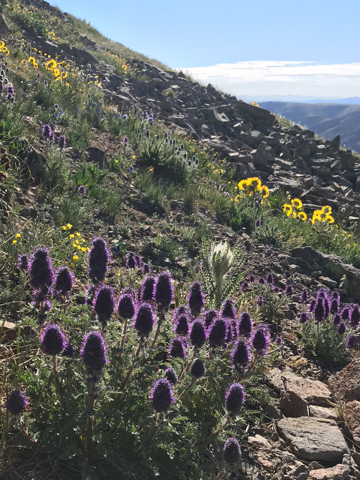
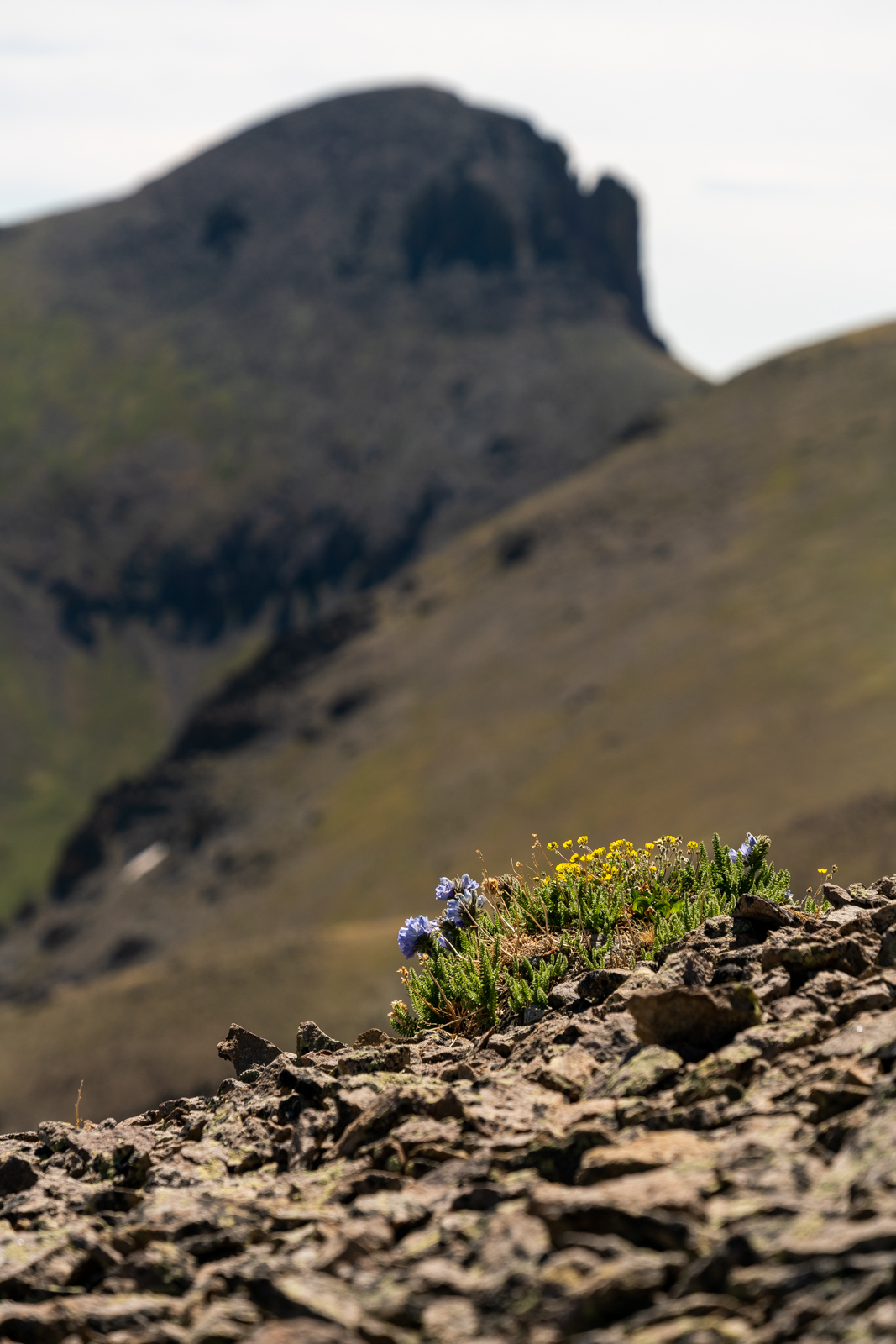
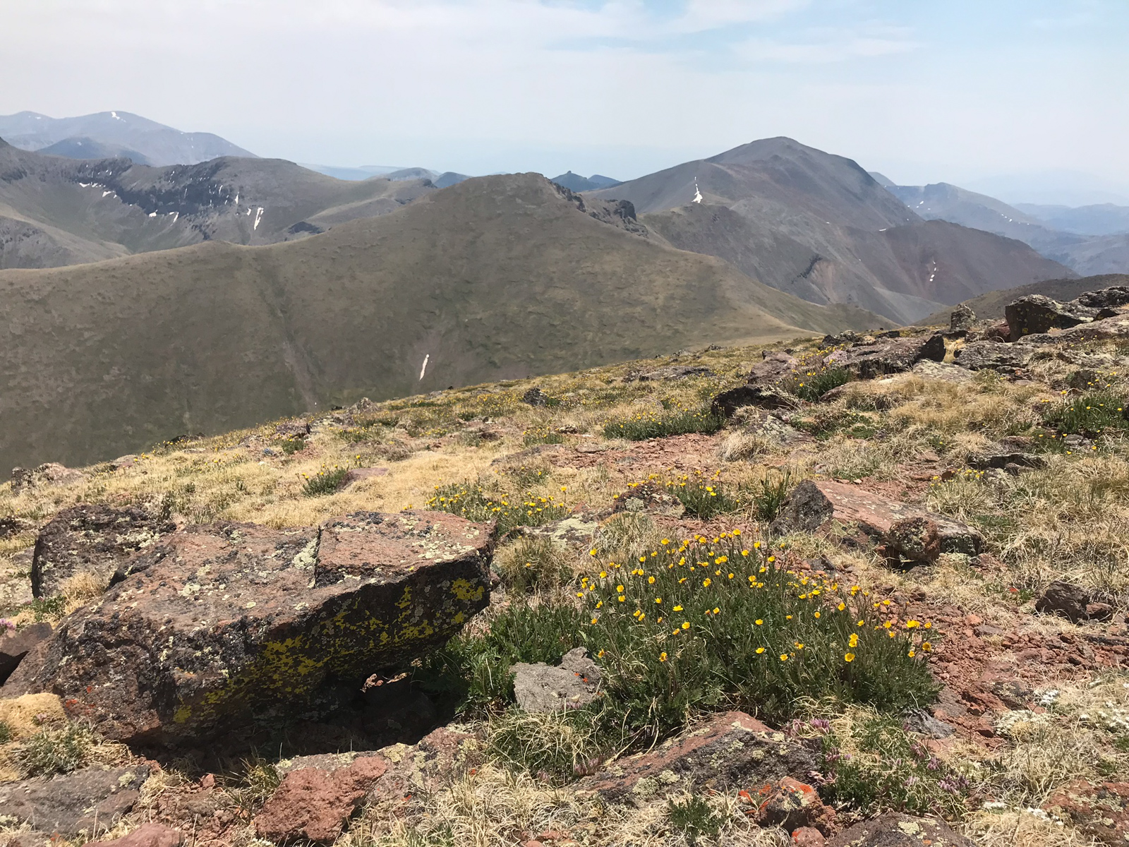
The area was covered in wildflowers, including this nice stand of yellow paintbrush or Castilleja Flava.
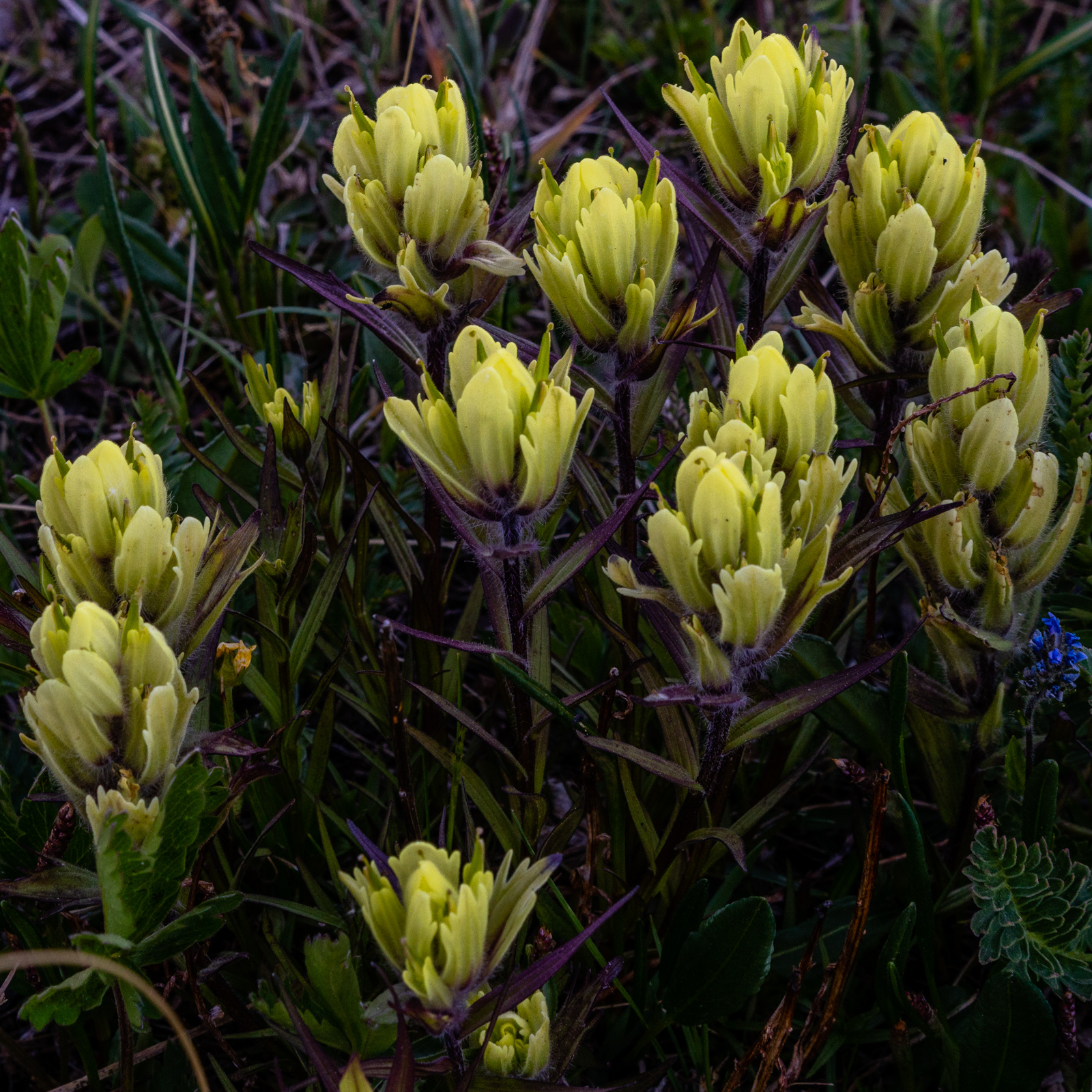
I enjoyed the opportunity to use my creative license and my Sony 55mm lens to take some different shots of these flowers throughout the trip.
I was making incredibly good time and could already look back on San Luis Pass in the distance.
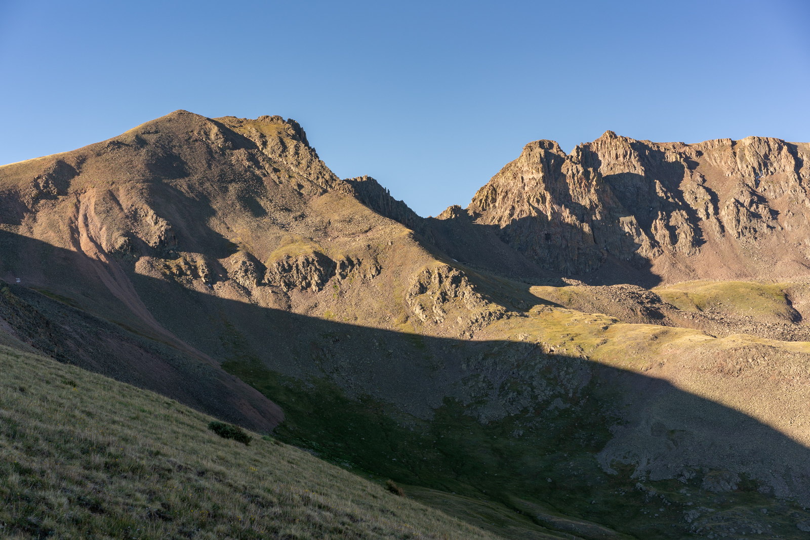
As I climbed, the views kept getting better and better. The La Garitas are amazing.
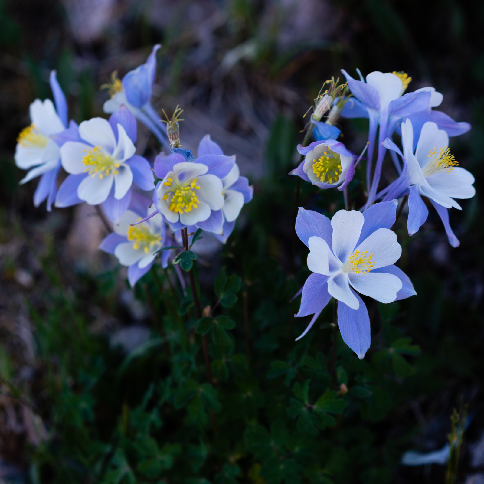
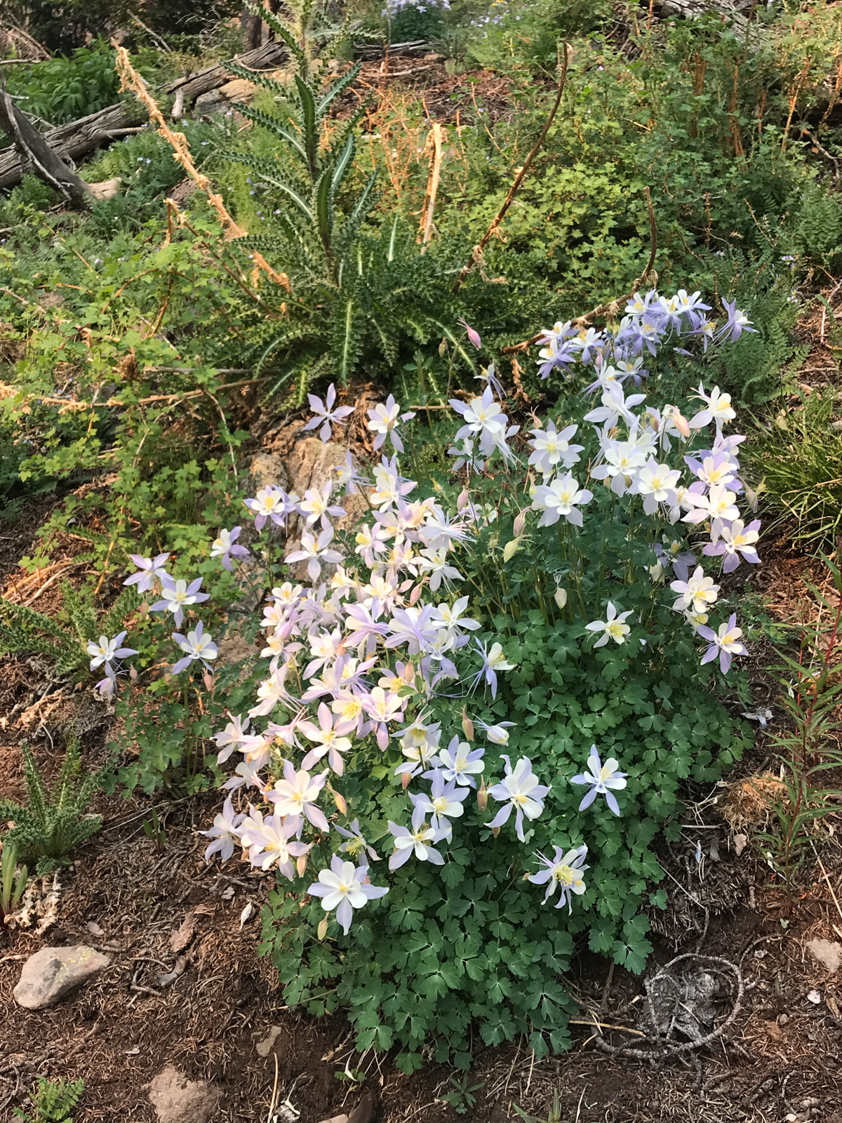
I also enjoyed seeing and photographing many sections of healthy Columbine flowers, the official state flower of Colorado.
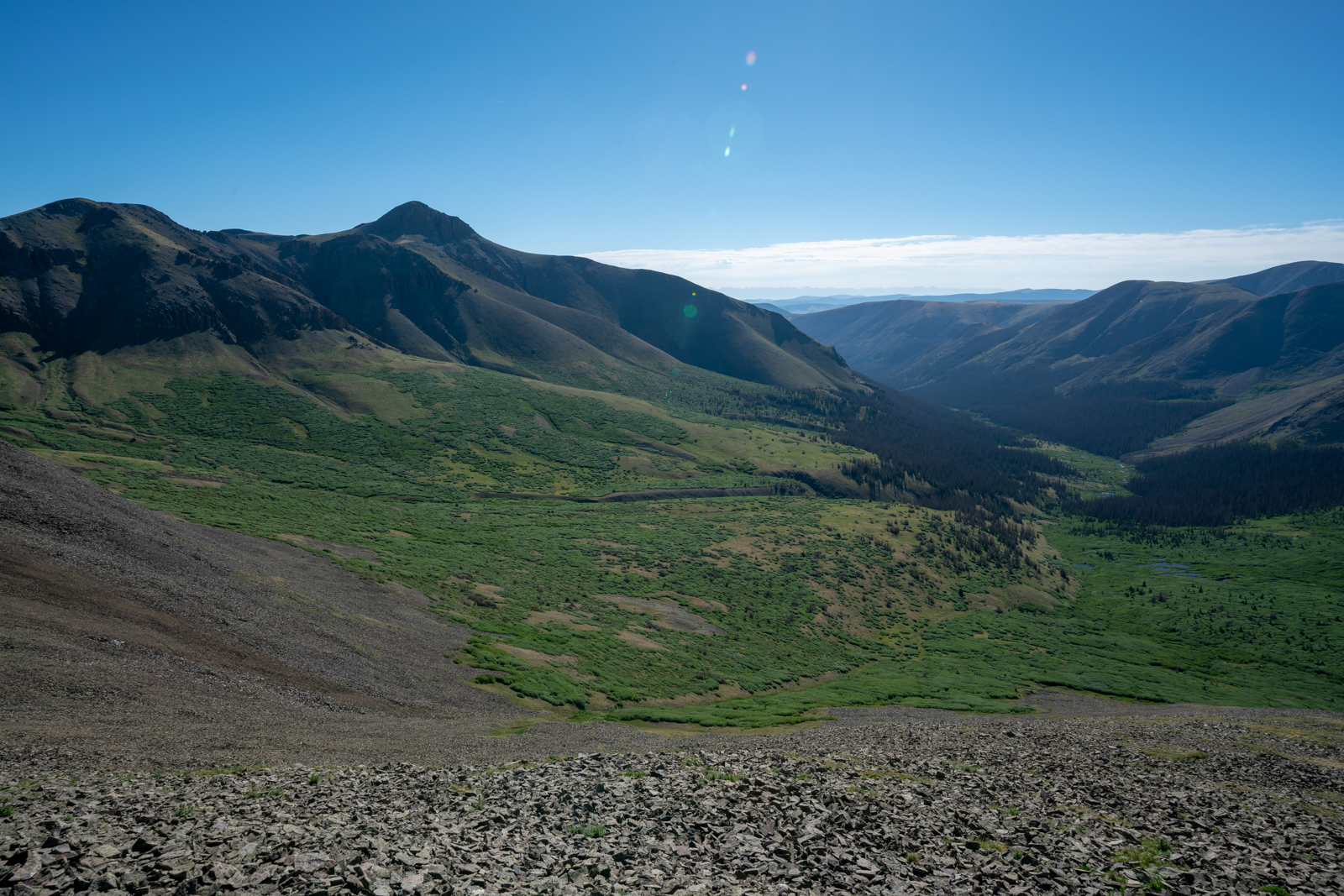
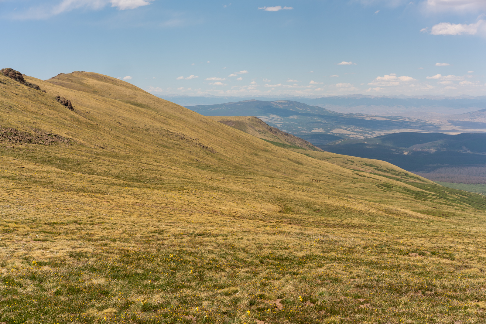
The ruggedness and remoteness of the La Garitas was always top of mind for me as my surroundings were devoid of people and filled with rugged mountains and vast, open fields of tundra.
As the sun continued to make its journey across the sky, it provided some nice side-light to the hillsides and trees around me, making for some beautiful scenes to photograph.
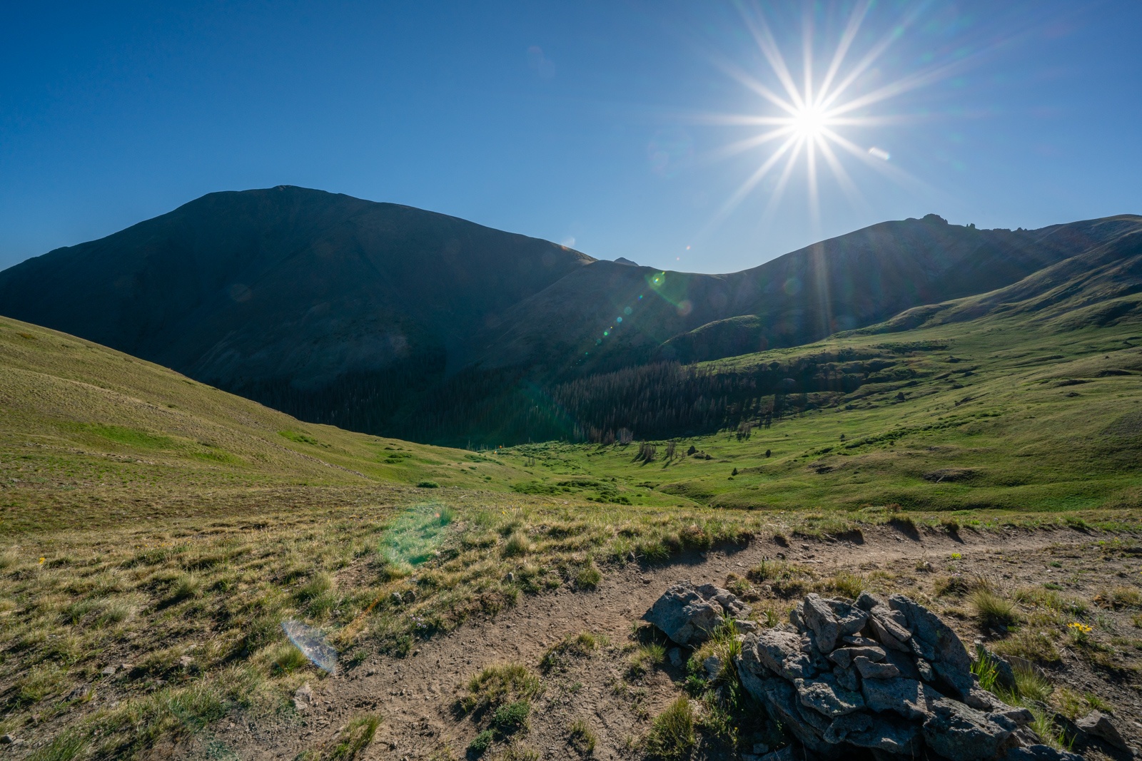
Anyone that knows me as a photographer knows that I'm somewhat obsessed with sunstars. I decided to try out the sunstar on the Sony 12-24 - while it is not nearly as good as the Loxia 21 or the Canon 16-35, it does make for a well-defined star. My only complaint is that it does come with quite a bit of flare.
The other advantage to using this lens is that it can take in a great deal of terrain in a single exposure, which allowed me to get close to the flowers and still show off the huge scene in front of me.
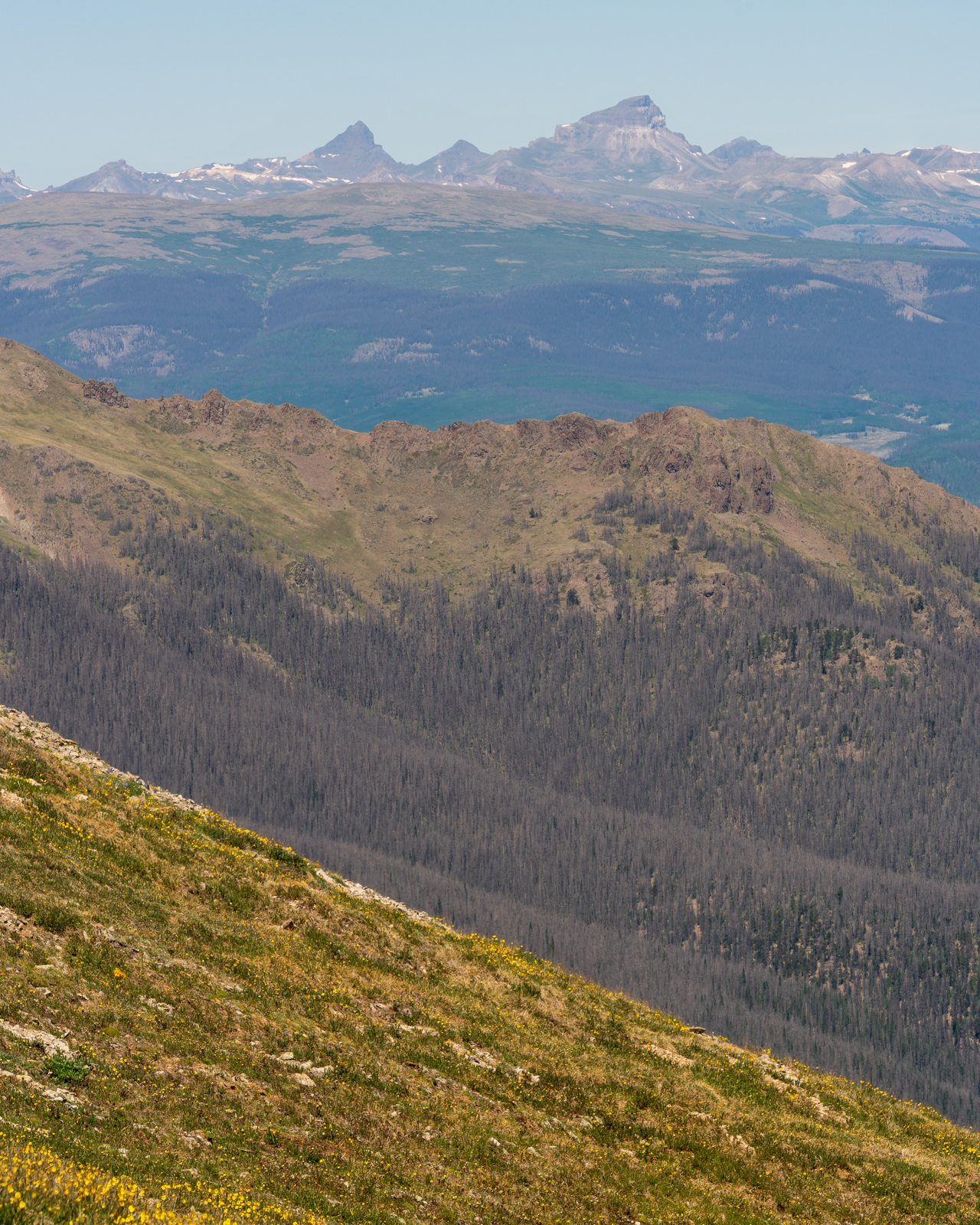
San Luis continued to loom above as I wrapped my way around the valley. The smoke from the 416 fire was already starting to settle into the area again to the west.
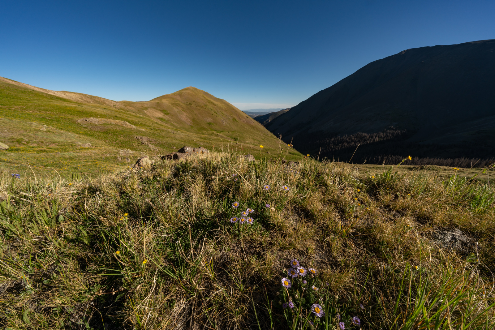
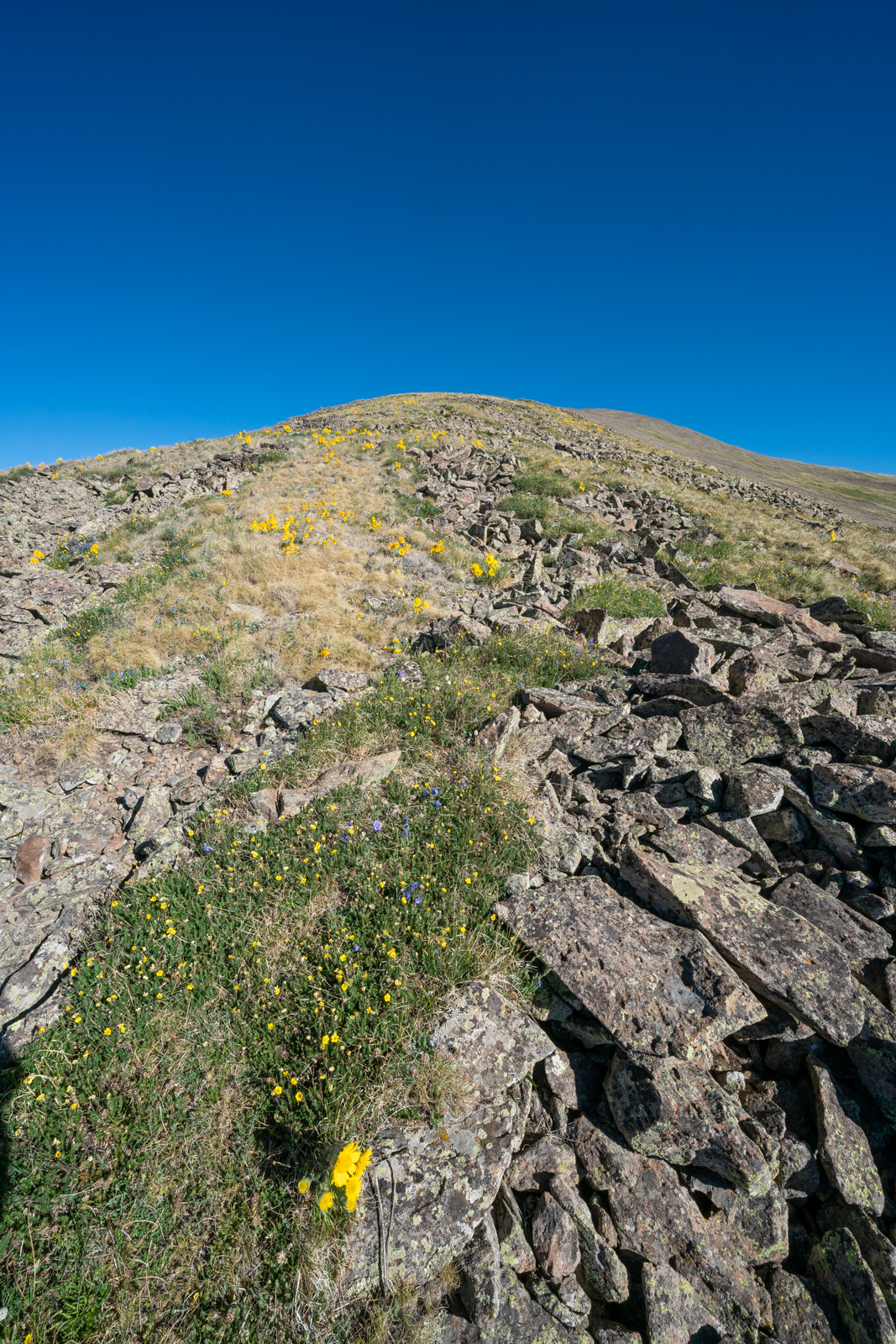
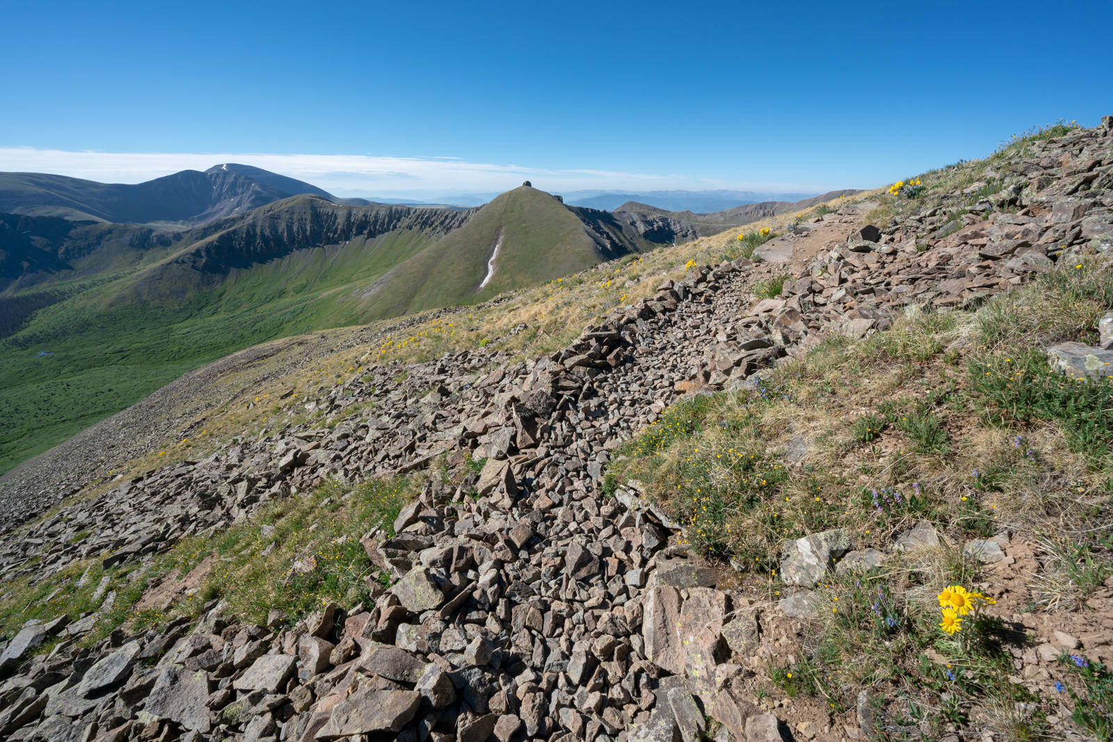
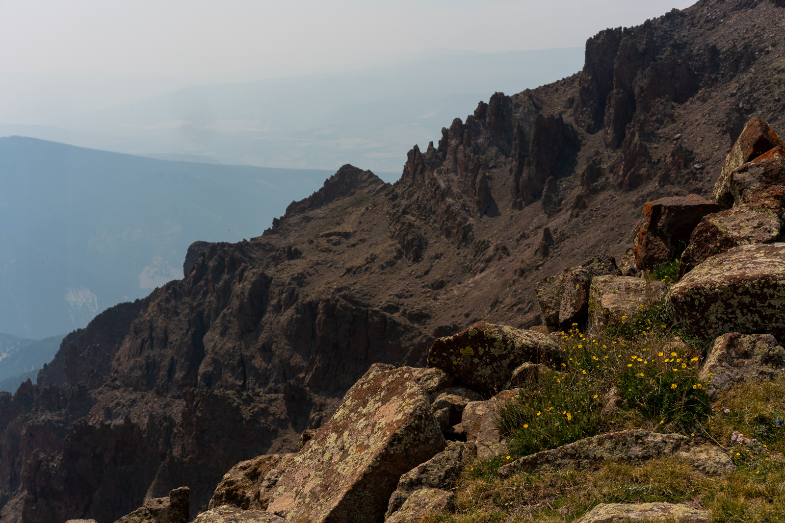
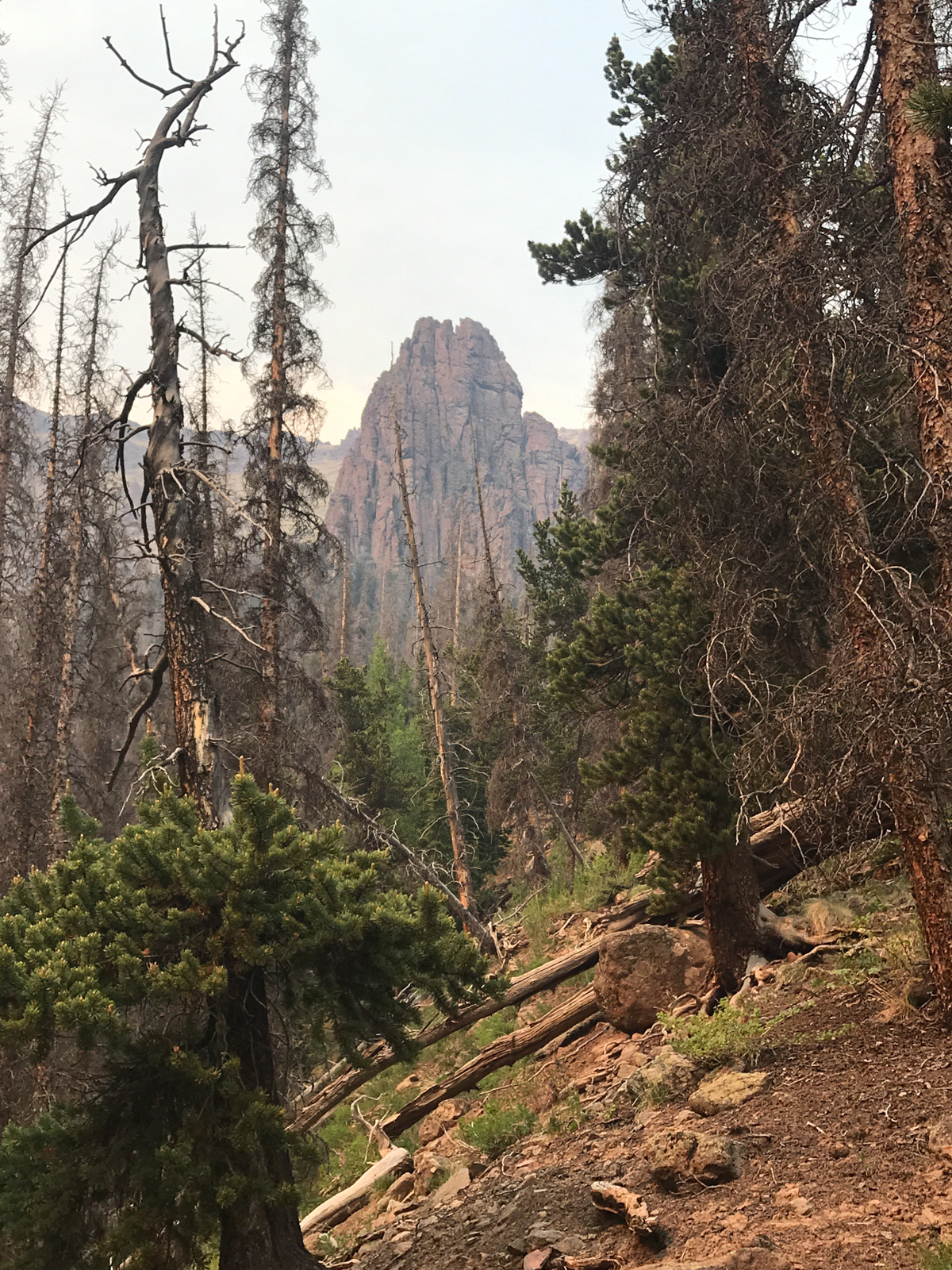
I loved the variable terrain on the Colorado Trail and the different rock features to the east. They were so fascinating to study as I hiked up.
Again, employing the 12-24 lens, I was able to get a ton of flowers in the shot as well as the funky rock formations above me to the east.
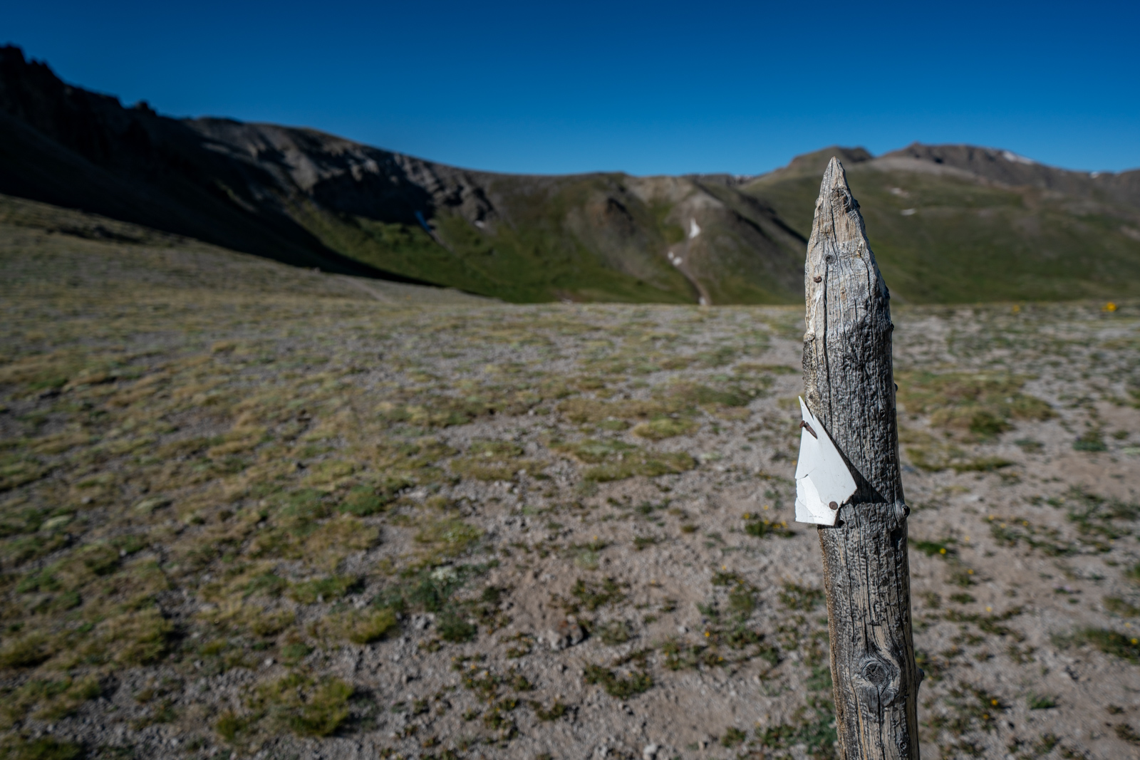
I finally reached the saddle to the south of San Luis Peak at around 8:30 AM and enjoyed the classic Colorado Trail sign post.
This is where I broke off from the Colorado Trail and began to ascent up San Luis Peak to really begin the fun for the day. The steepness increased and my speed decreased. Organ Mountain could be seen to the east from here.
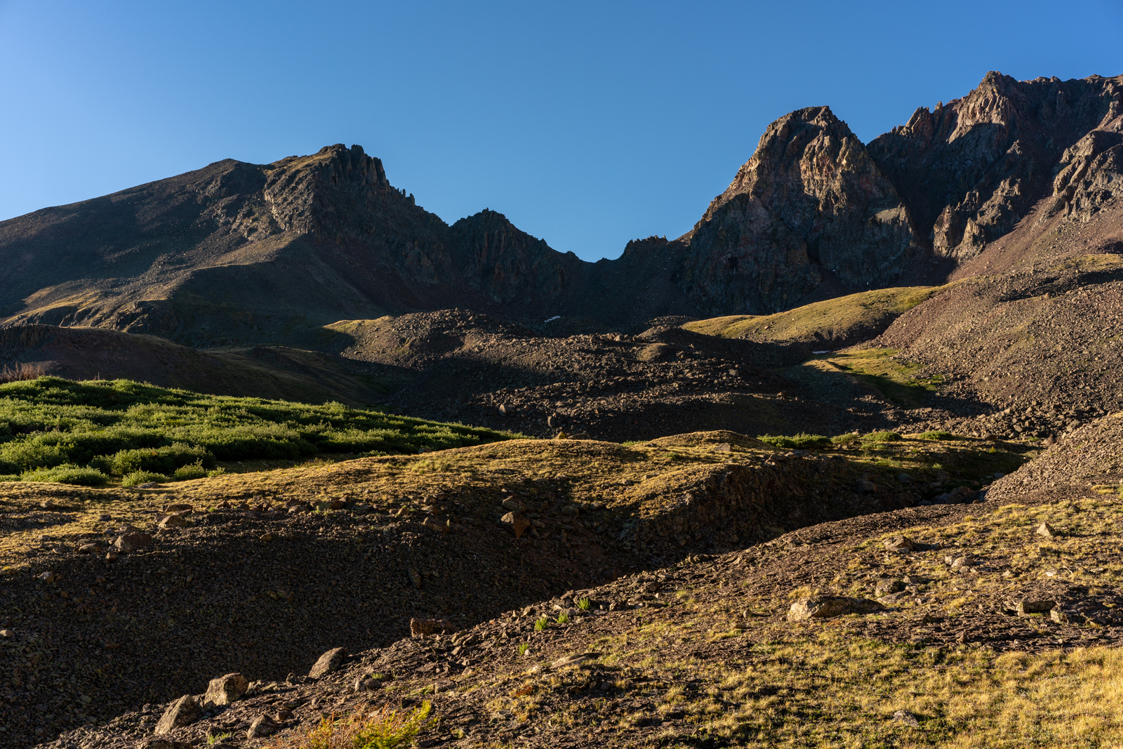
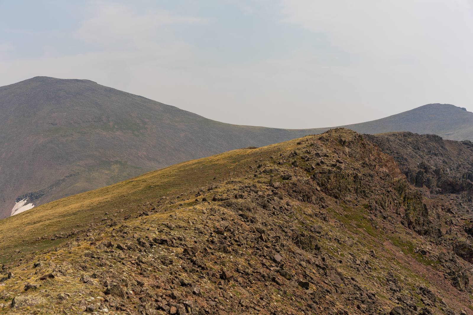
Across the saddle from me rested another inviting and un-named 13er. Maybe next year.
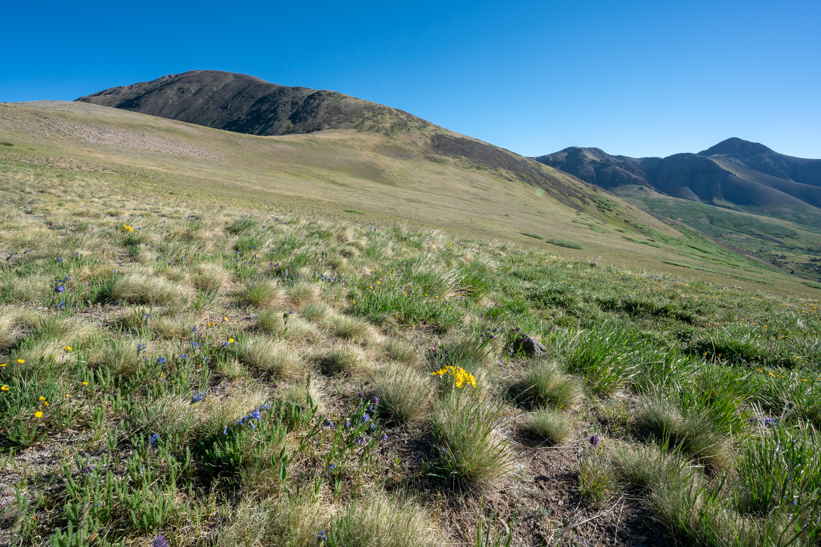
Using the wide angle lens, I could really demonstrate the scale of this place - surrounded by mountains and Tundra in every direction. Yep - that's the San Juans I've come to love.
As I continued up San Luis Peak's steep south slopes, I put away my camera and used my iPhone to take some snapshots and video on the way up. The wildflowers were stunning and ubiquitous!
Organ Mountain loomed high above Cochetopa Creek to my east and caught my gaze pleasantly throughout the whole hike up San Luis Peak.
I stopped to rest and took some video of the flowers. It was VERY windy.
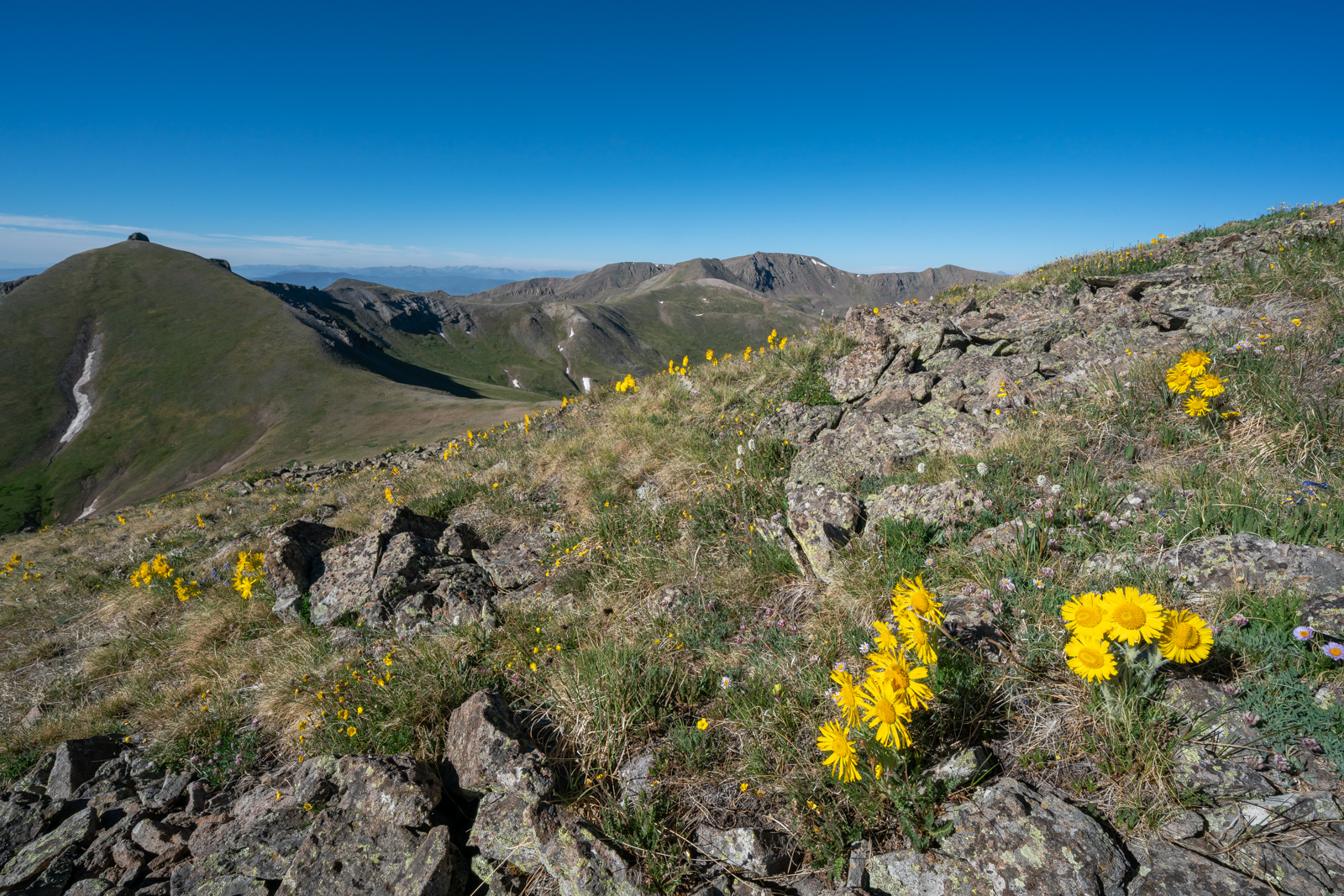
The alpine sunflowers were everywhere and made the hike utterly enjoyable.
As you can see above, the flowers were in full bloom and made for quite the scene.
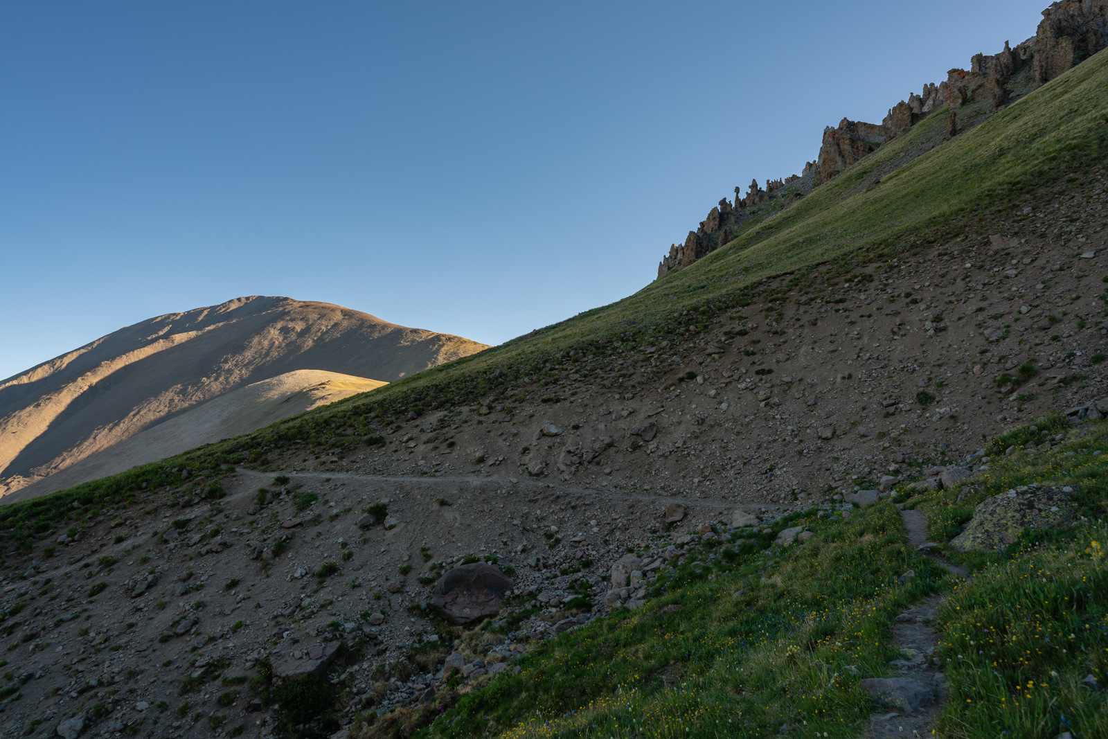
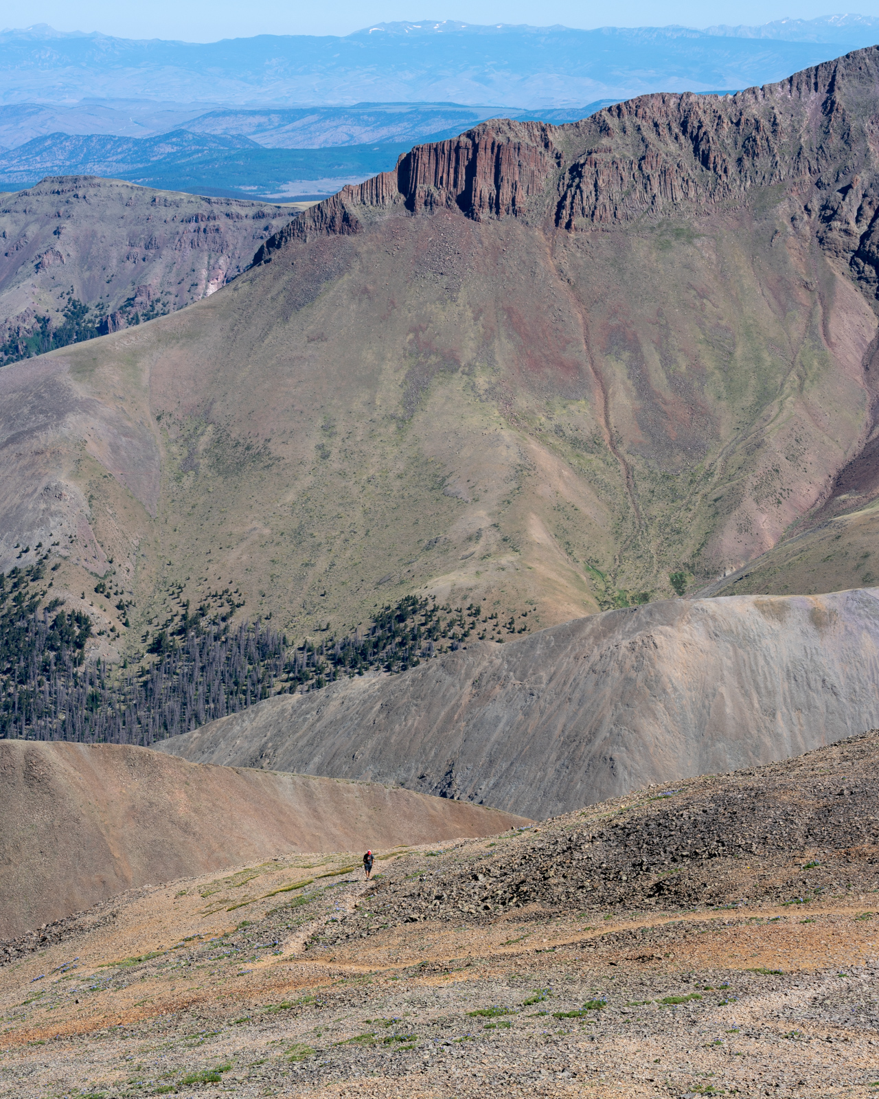
The trail going up the south side of San Luis Pass was in great condition, I figured it was due to trail workers on the Colorado Trail from the year before. I arrived on the summit of San Luis at about 10:30 AM and enjoyed the view all around me. To the north, I made out a figure climbing the standard route of San Luis towards me with Column Ridge looming above him.
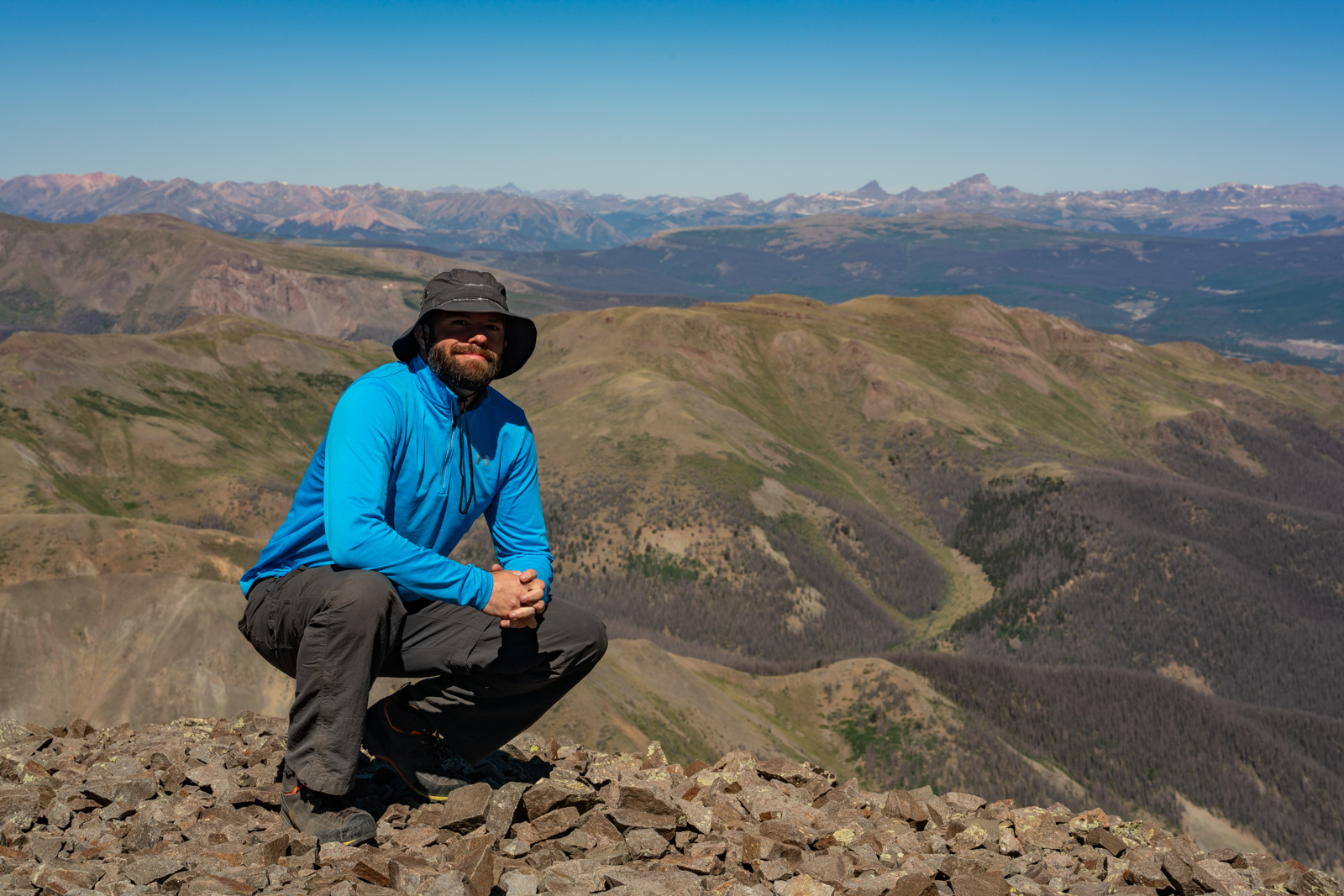
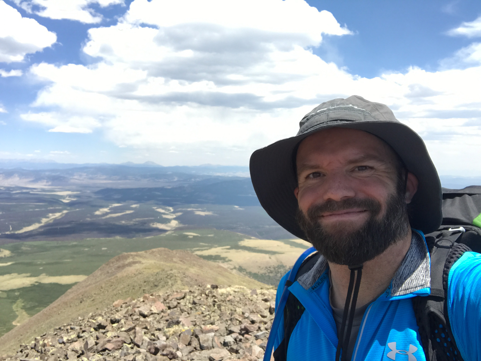
I set-up my tripod, got some snacks, drank some water, shot some live video on Instagram, and was joined on the summit by a physical therapist from Montrose. I took a self-portrait using my tripod and chatted with this the guy from Montrose for a bit before heading off towards my next destination: Baldy Alto. I needed to downclimb two ridges and ascent Baldy Alto before I could gain access to the basin containing my real prize - Stewart Peak.
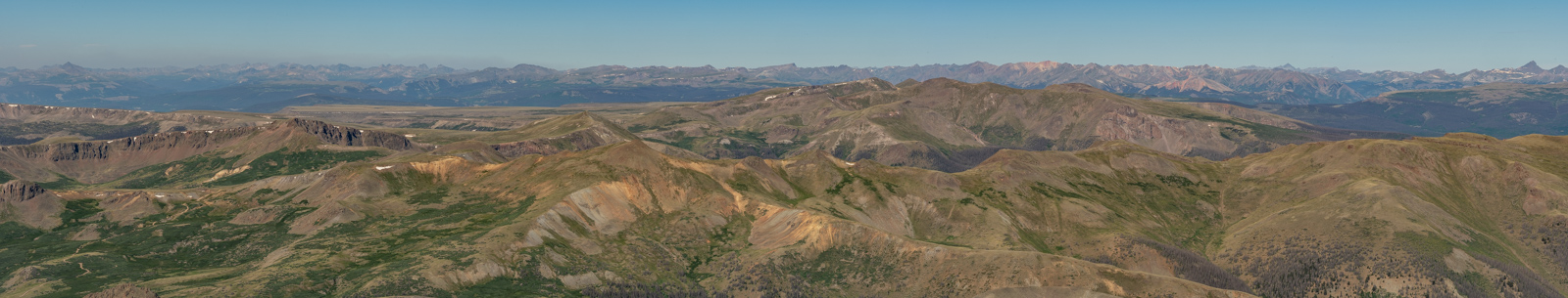
I took a huge panorama from the summit as well, which showed all of the smog from the 416 fire but also the massive glory that is the San Juans.
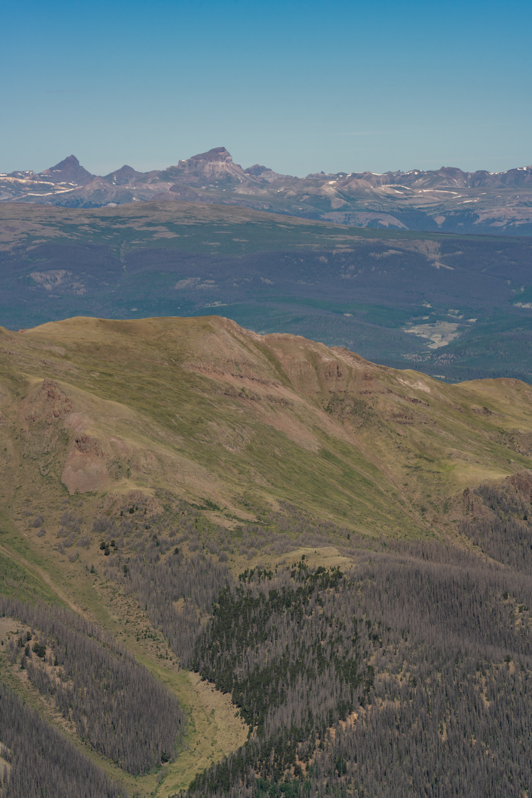
San Luis Peak also offered some fantastic views of the 14ers Uncompahgre and Wetterhorn, which always seem to draw my gaze whenever I'm climbing in the San Juans.
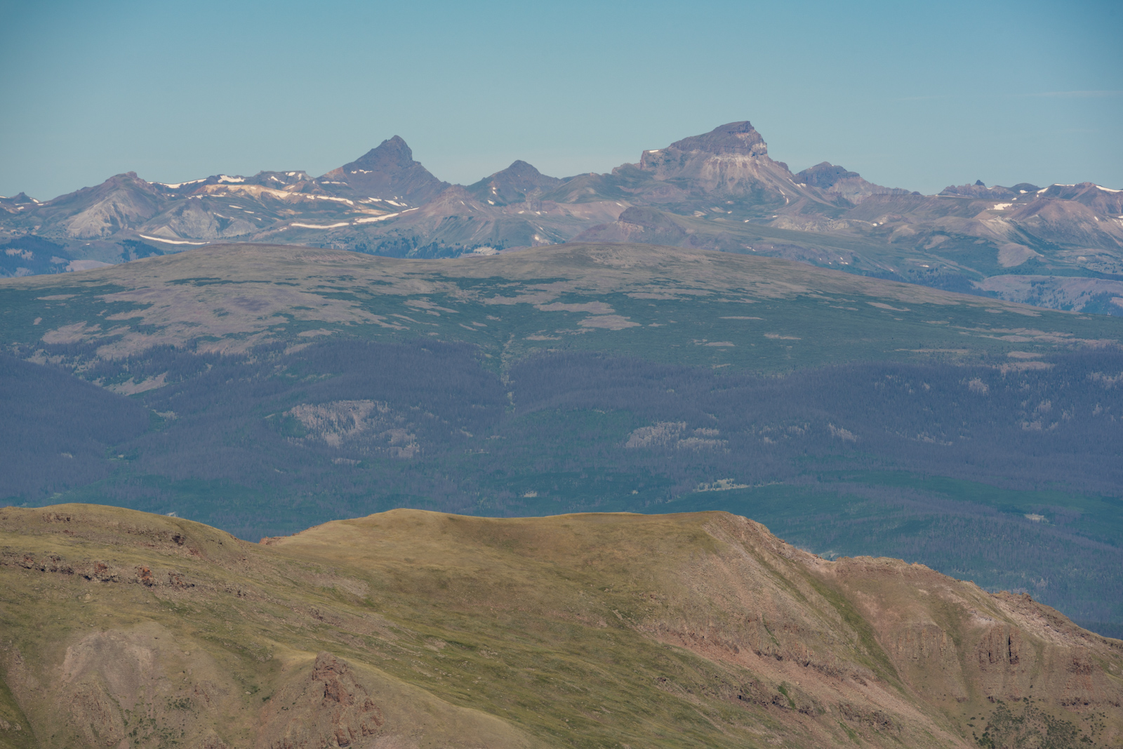
Those are two very sexy peaks!
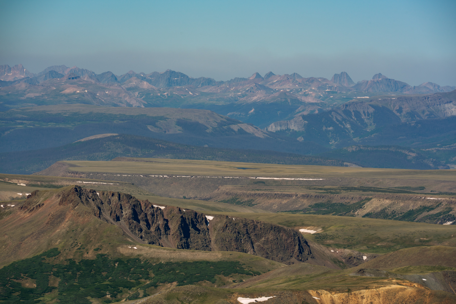
I also loved the telephoto vantage shown above of Snow Mesa and all of the Needle Mountains and the Grenadier Range in the distance. Epic.
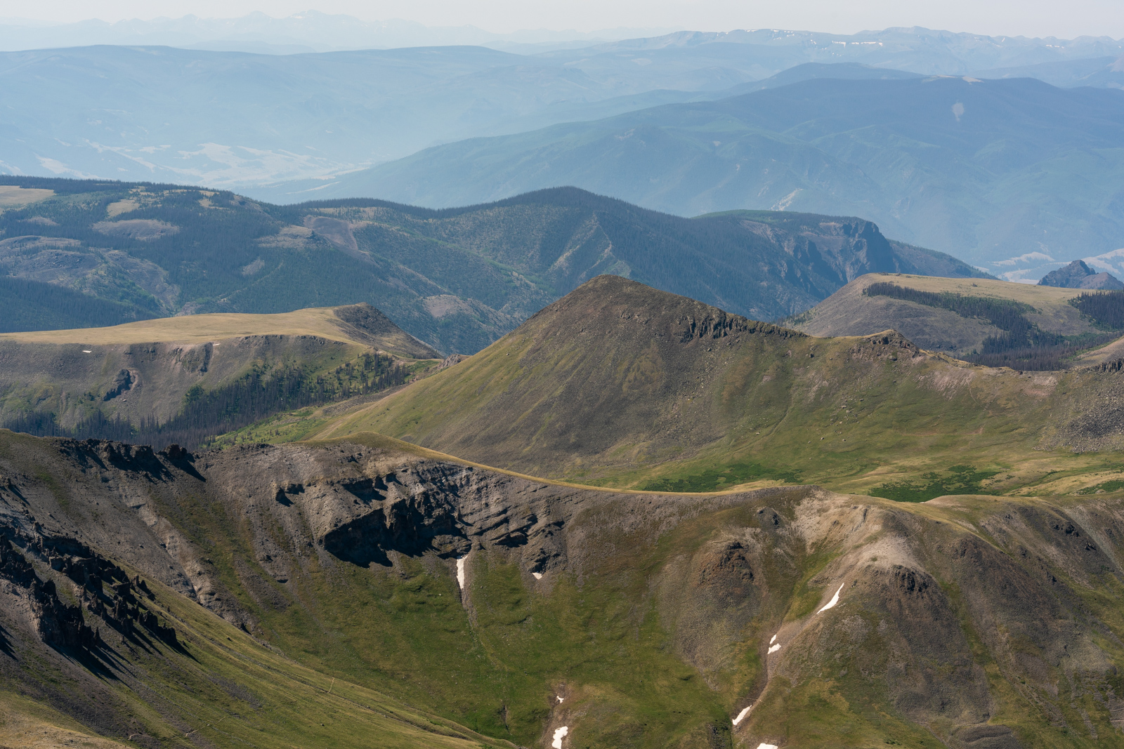
The haze from the fire was really starting to move in, but I loved seeing just how far I had come on the trail that day, as seen on the bottom of the photo above.
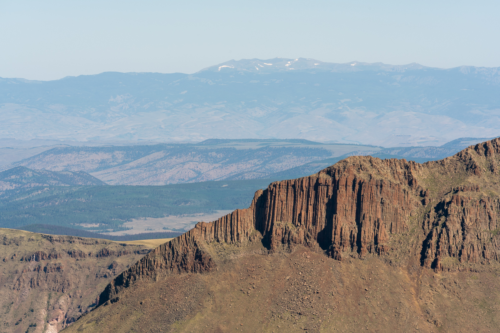
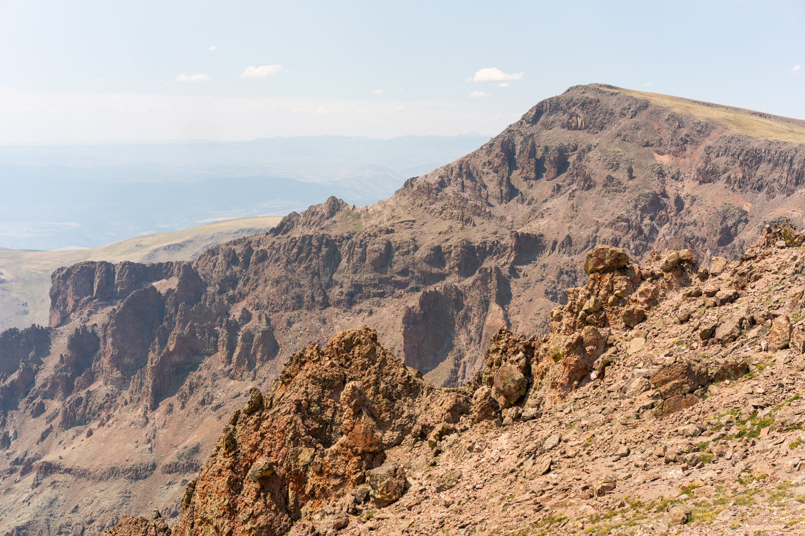
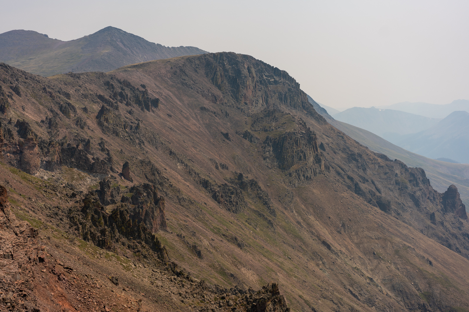
The 13er Column Ridge also looked impressive as hell from San Luis. Those basalt columns (I'm guessing) were quite daunting from this angle.
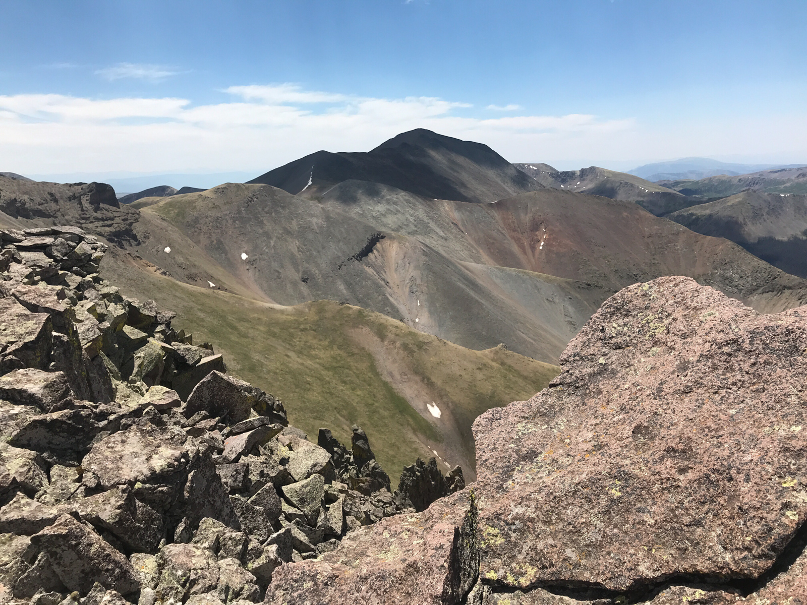
And lastly, a view looking north of Stewart (center) and Baldy Alto (right).
I took one last shot of Organ Mountain and began my descent towards Baldy Alto. It was a long way across from here and I knew that I would not find myself on a trail again for several hours. Buckle up.
Stewart was a long ways away. Forunately, the weather was looking like it would hold for the rest of the day. One less thing to worry about.
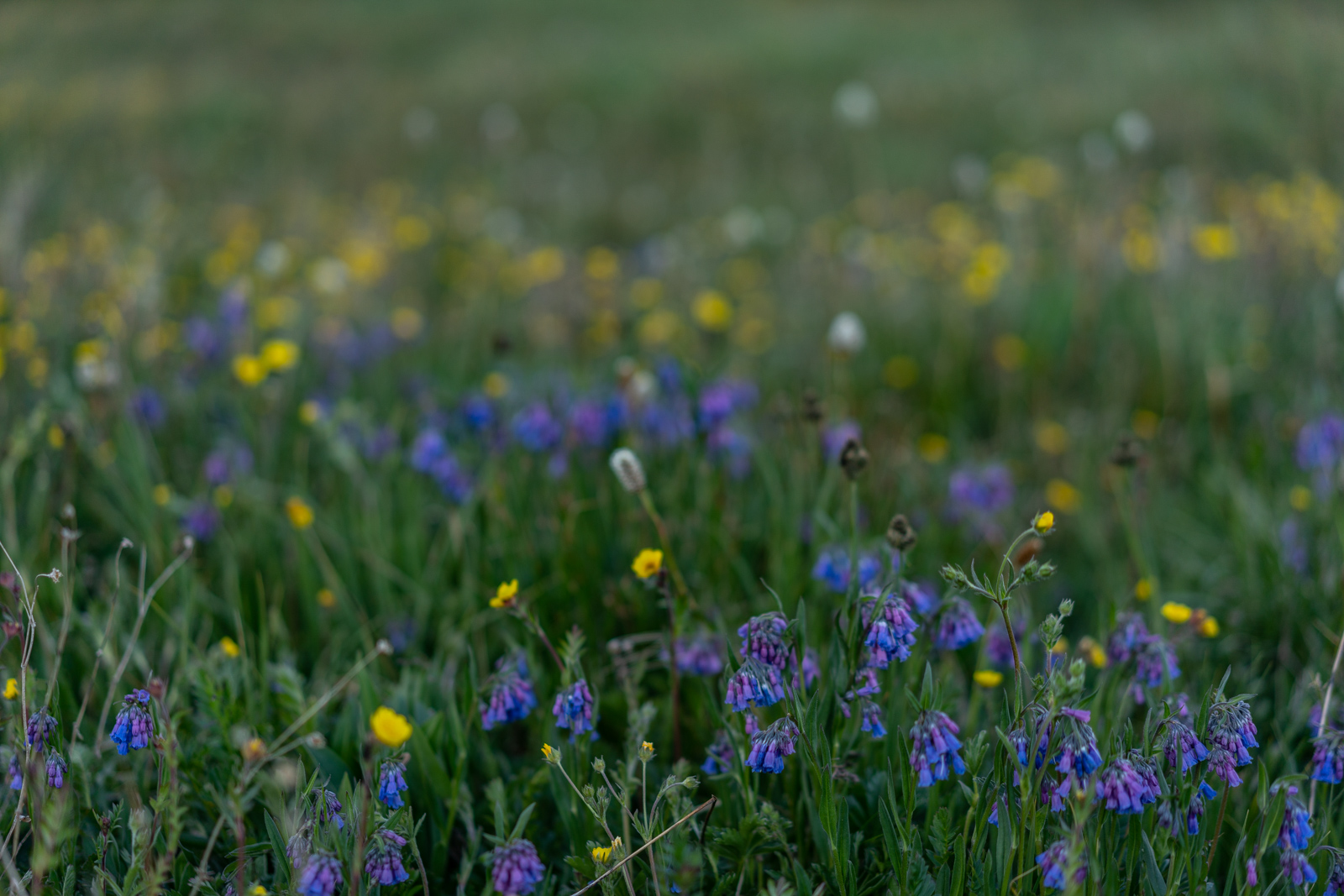
Patches of flowers were everywhere.
Uncompahgre and Wetterhorn still made me look west constantly. So damn pretty.
I reached the base of Baldy Alto and studied it, looking for a weakness and a route up. It seemed like it was pretty solid all the way up, so I just decided to make small switchbacks up the very steep rock and dirt. It worked without any issues.
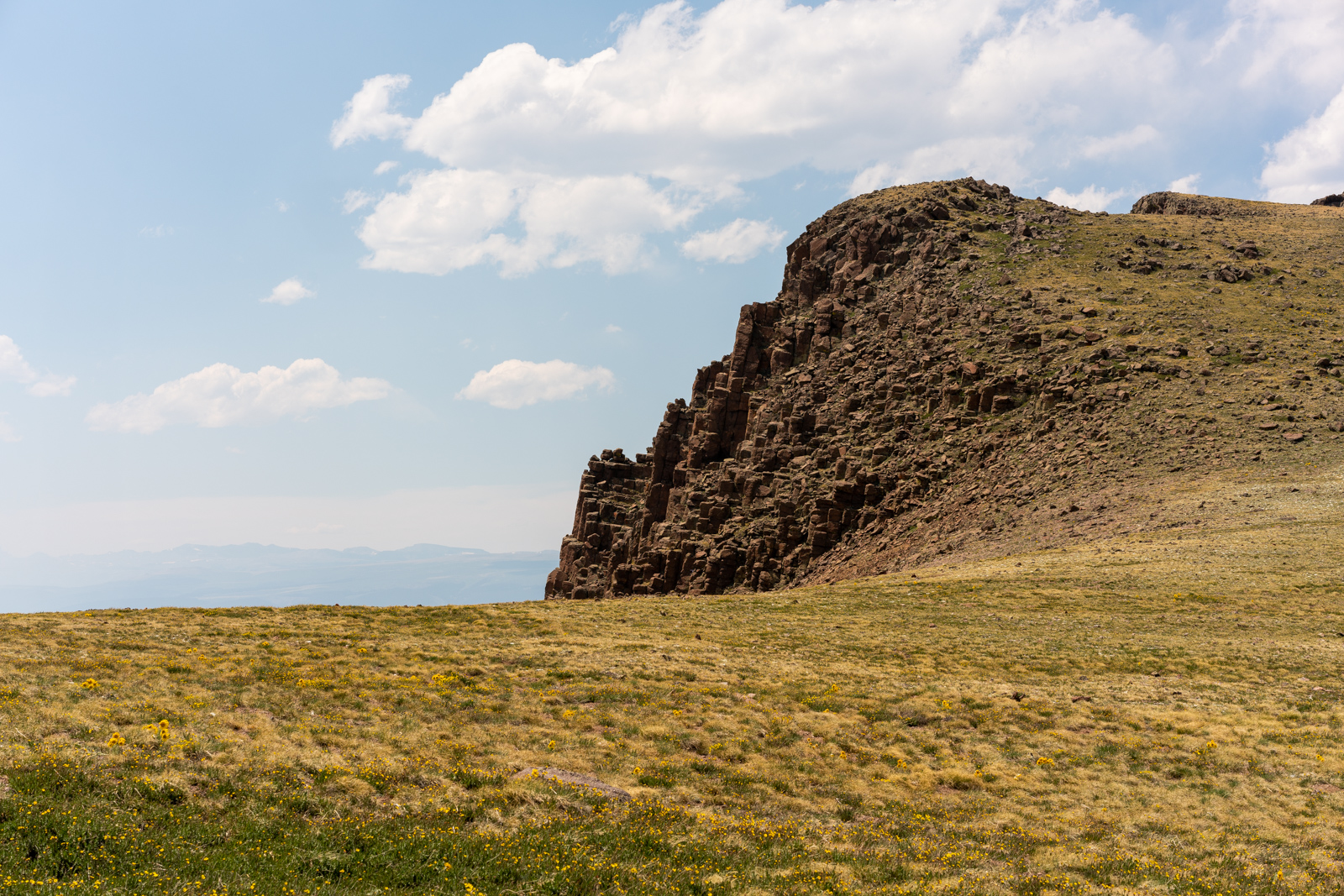
There were some really gnarly rocks on Baldy Alto and the north side of the mountain was a cornucopia of conglomerate that would surely make one regret an attempt at passage.
Looking back on San Luis, I had come quite a distance to Baldy Alto and knew my journey was only just starting to get exciting. I still had a long ways to hike and the wind was absolutely brutal!
More rocks on Baldy Alto!
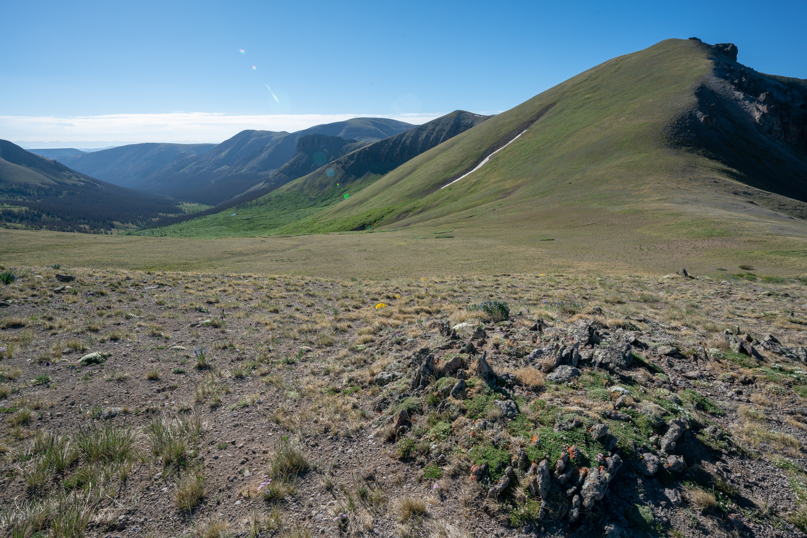
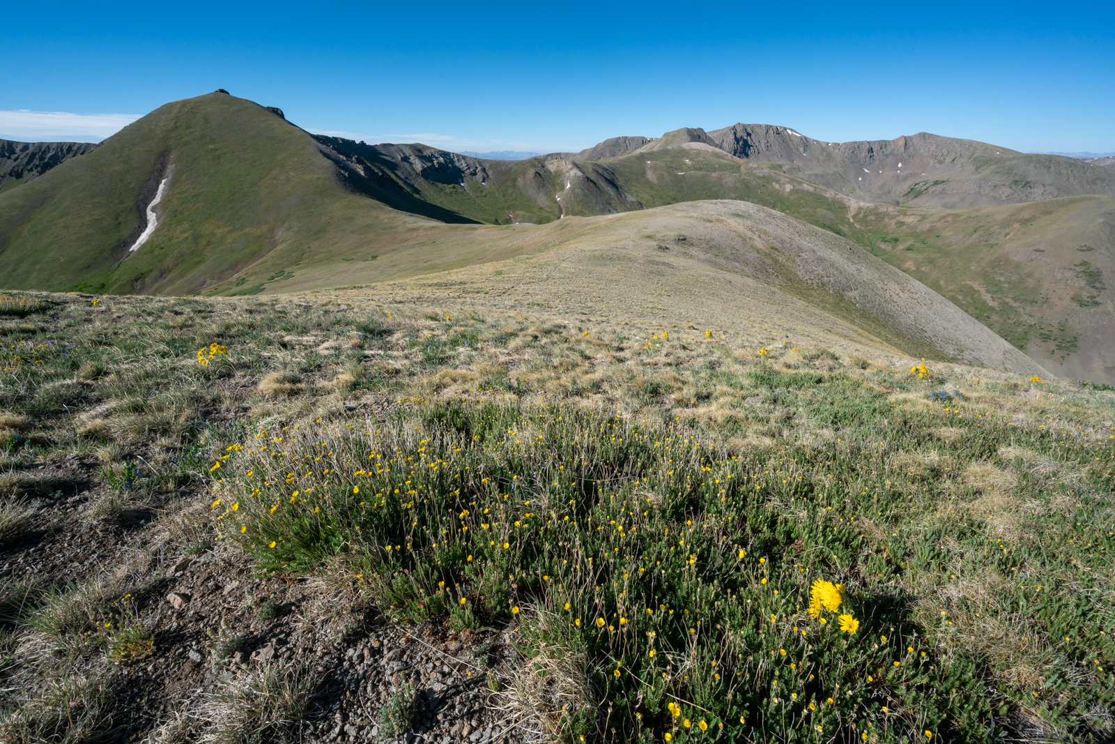
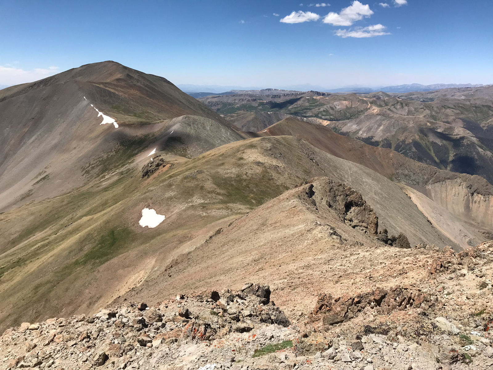
From Baldy Alto, I pretty much went on a straight line on the ridge towards Column Ridge and enjoyed some very steep terrain before reaching its summit at around 1:15 PM. I still felt good and knew I still had an insane amount of distance to travel before I could enjoy sleep.
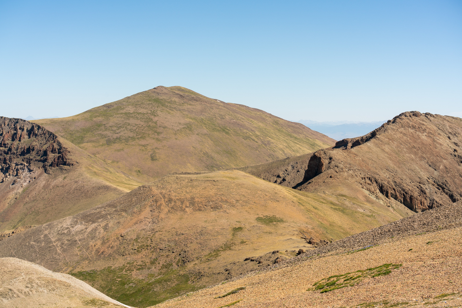
From Column Ridge, I enjoyed my view of Stewart Peak - it was so close yet so far away!
I plowed up Stewart, and foundt the summit to be quite rewarding. I noticed on the way up that there was a small herd of about 15-20 elk grazing below Stewart to the north.
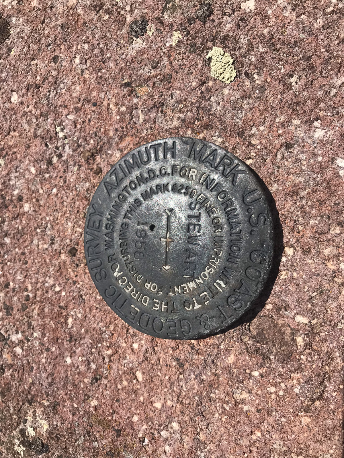
I took a rest on Stewart and notified my friends and family that I had made it to the top of #96/100. Only four more to go!
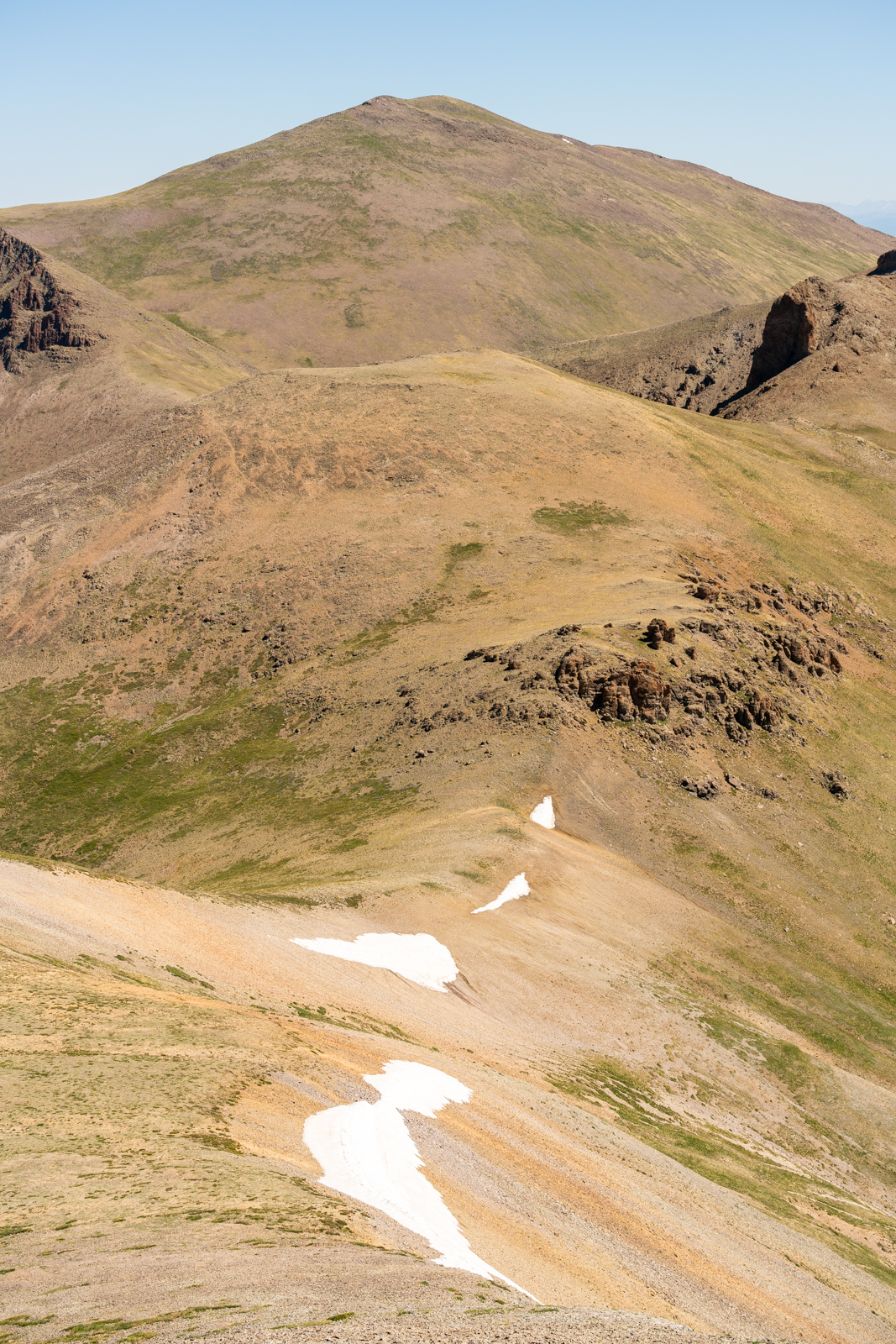
A look back at San Luis Peak made my journey feel quite epic. I had traveled quite a long way.
I started down Stewart and found an upper vantage point where I could photograph the elk again - they were so peaceful below me in the meadow.
After reaching the saddle, the elk had finally noticed me and began to run. Unfortunately for them, they chose to run right towards the ridge I was heading for, so it ended up being a long day of them running away, finding a spot, running away, and finding another spot. I felt bad for them.
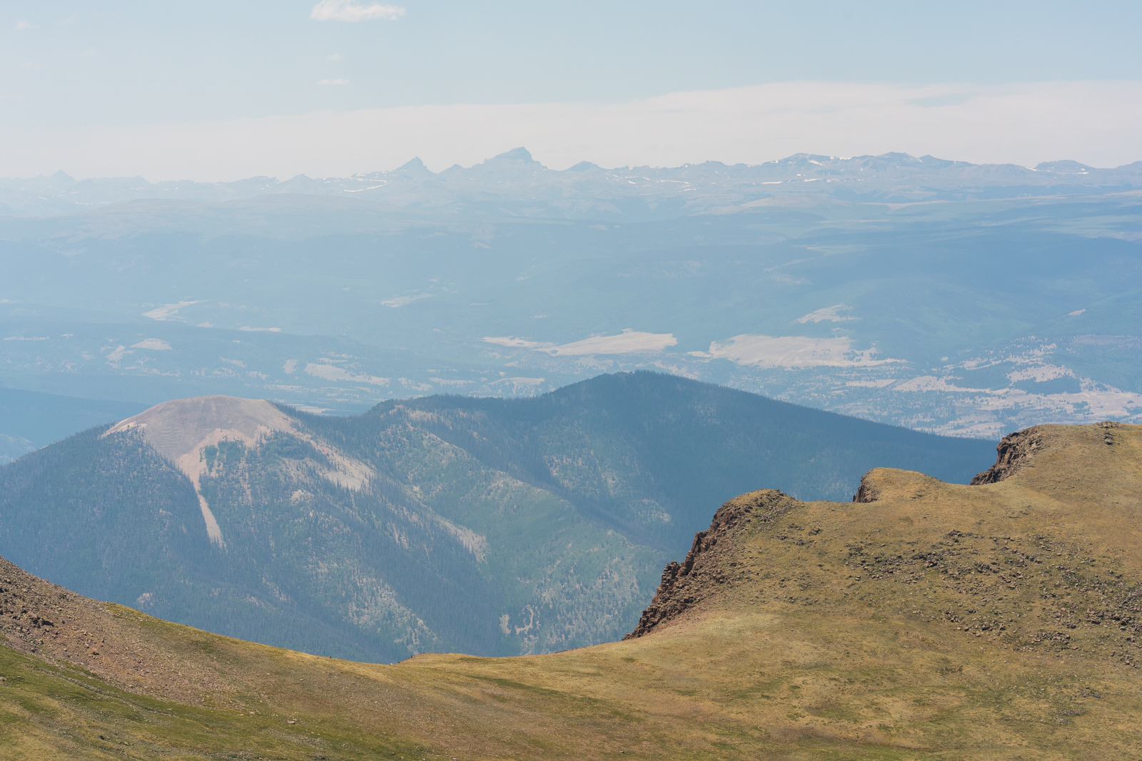
My next destination was a connecting saddle across the way that would take me all the way over to Baldy Chato and then to the Cebolla Trail. The smoke from the fire was starting to get worse and I could barely make out Uncompahgre and Wetterhorn to the west.
As you can see below, the saddle was a gentle rolling hillside that connected to Baldy Chato in the distance. You can make out the herd of elk below me on the right.

Forunately for me, the flowers continued to impress and the rock faces to my west kept me entertained.
The walk across the valley to the other ridge was quite long.
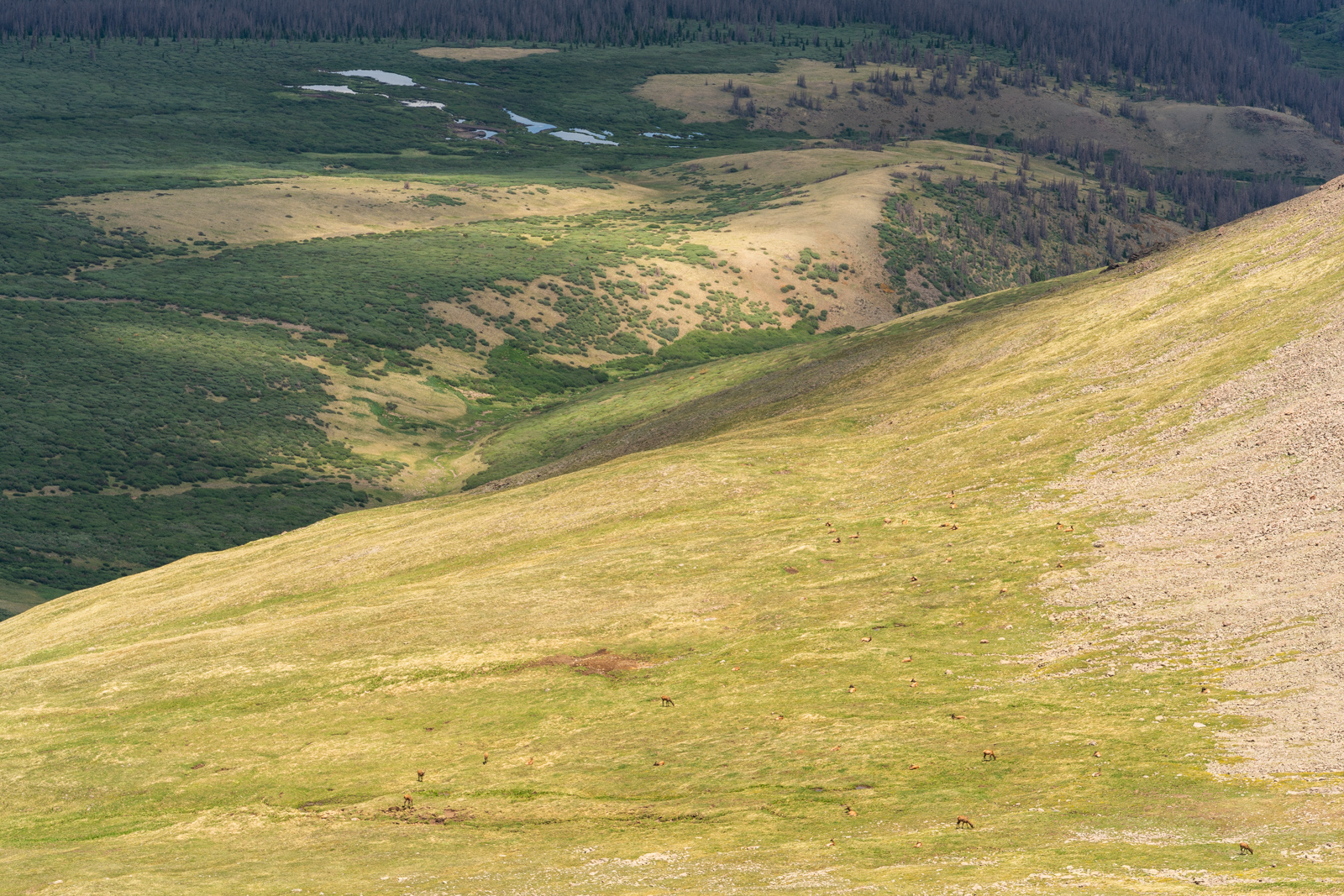
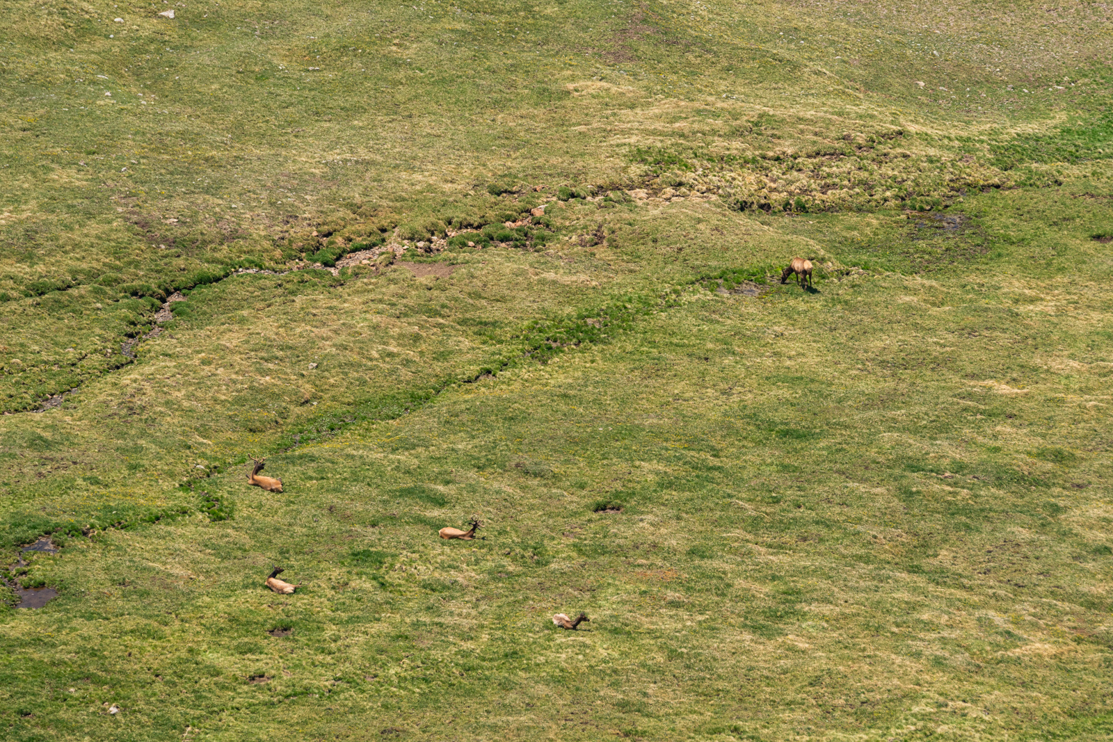
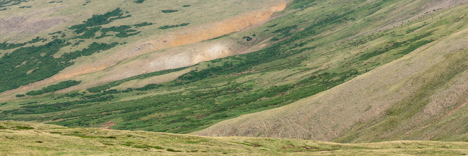
Upon reaching the other ridgeline, my view to the east opened up. Willow Mesa was filled from top to bottom with a massive herd of over 400 elk as illustrated in the telephoto panorama below. How many can you count? It was truly one of the most unique scenes I'd ever seen in all my life.
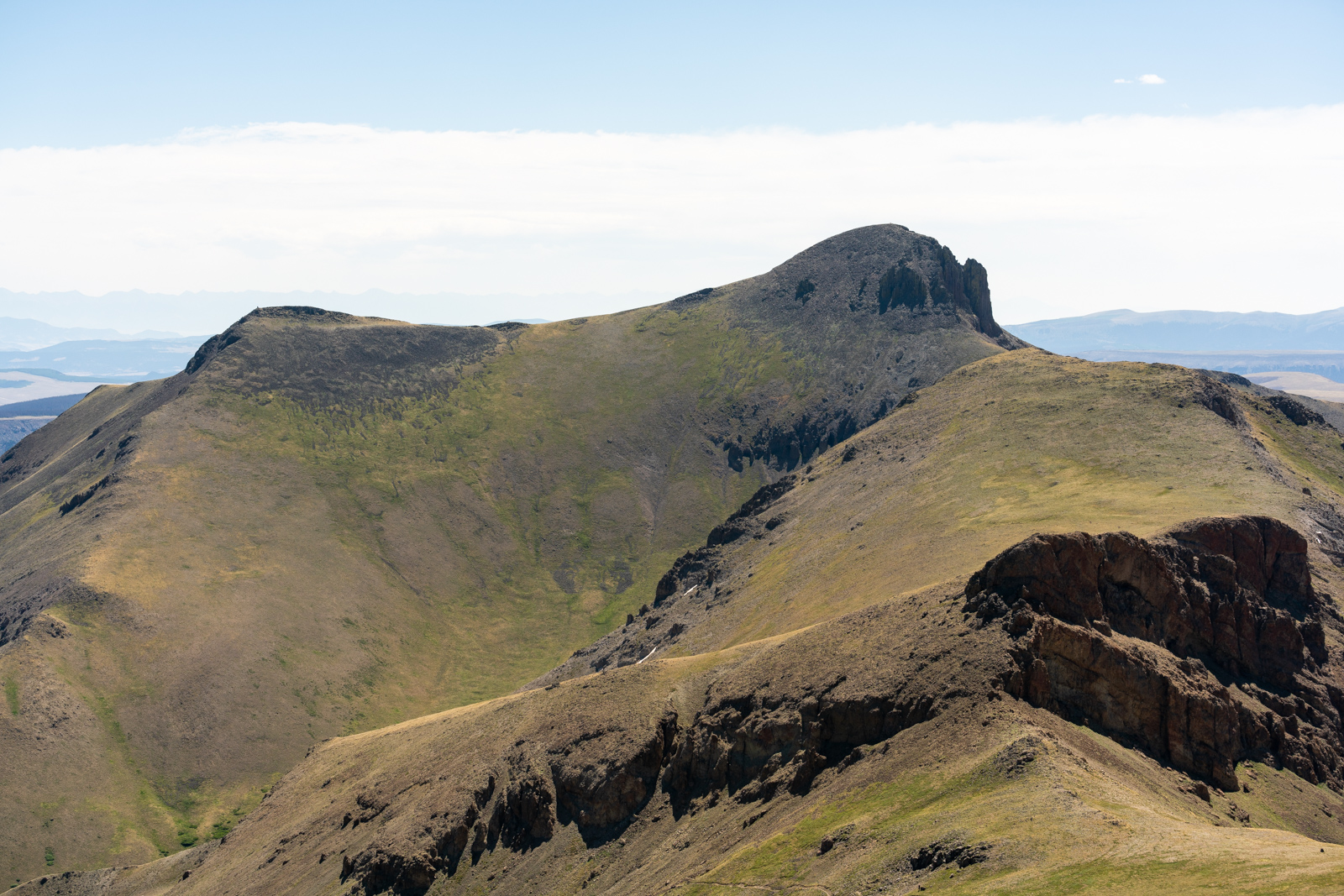
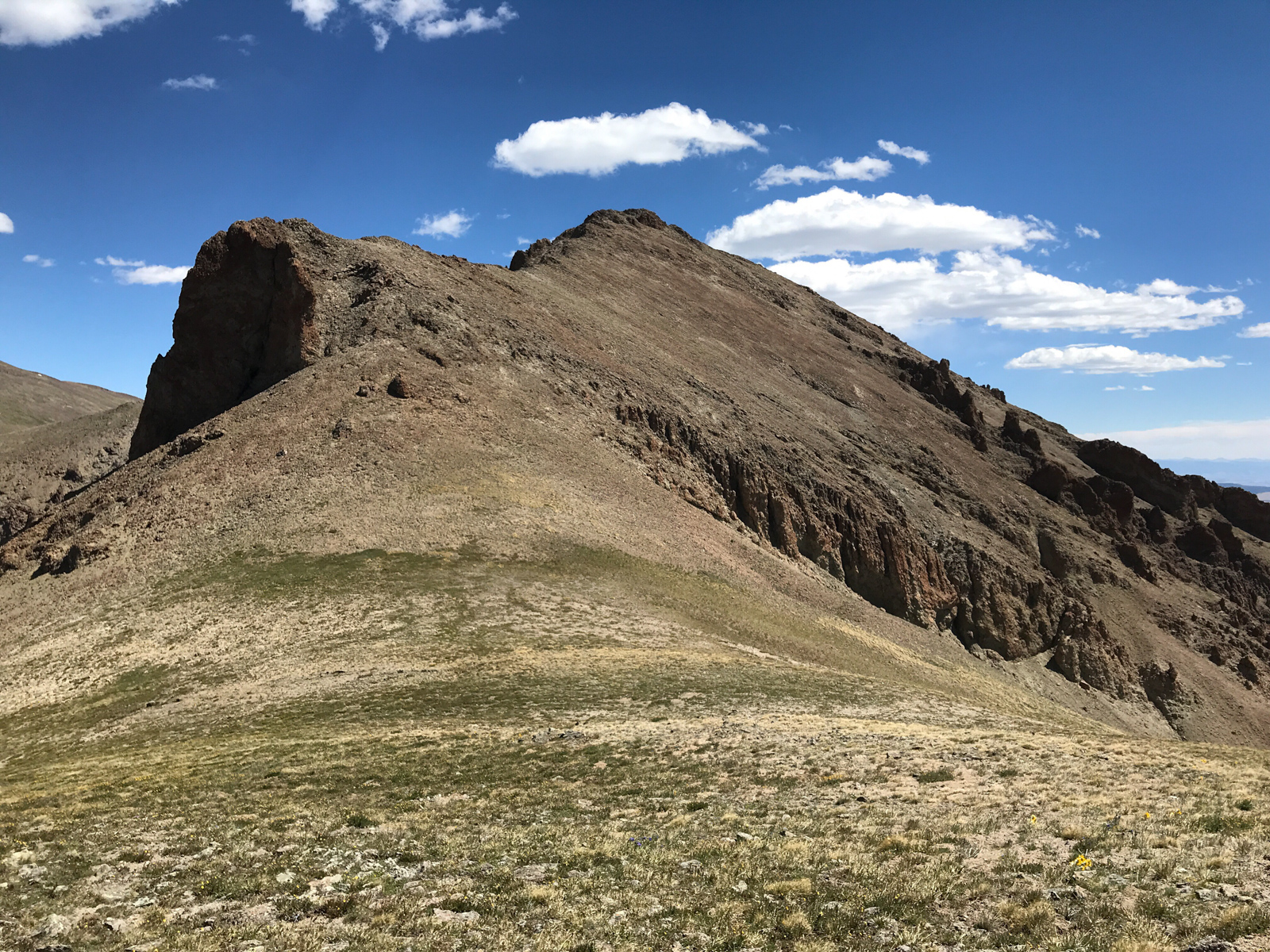
I enjoyed watching the elk for a bit and continued my way over towards Baldy Chato, which was quite a long ways away. Baldy Chato is spanish for "stub nose" as you can probably see the resemblance of below.
Having made a lot of progress towards Baldy Chato, looking back on Stewart showed how far I had come and also illustrated just how hazy it had become. Yuck.
The haze dominated my view and my lungs and was not very fun.
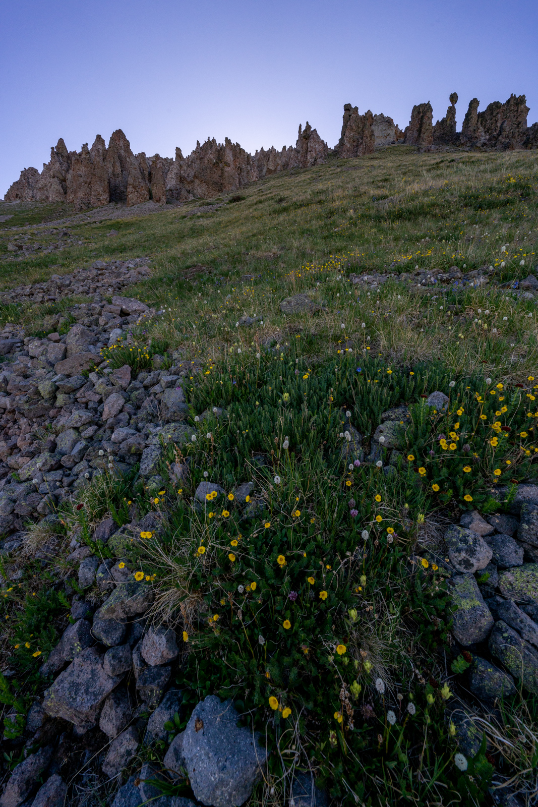
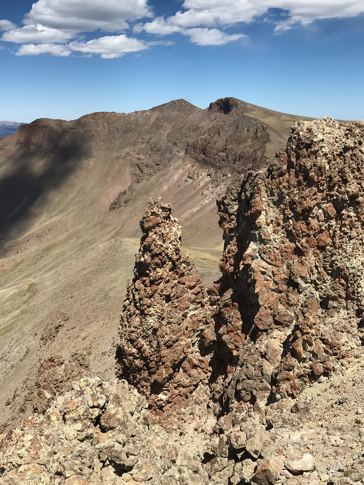
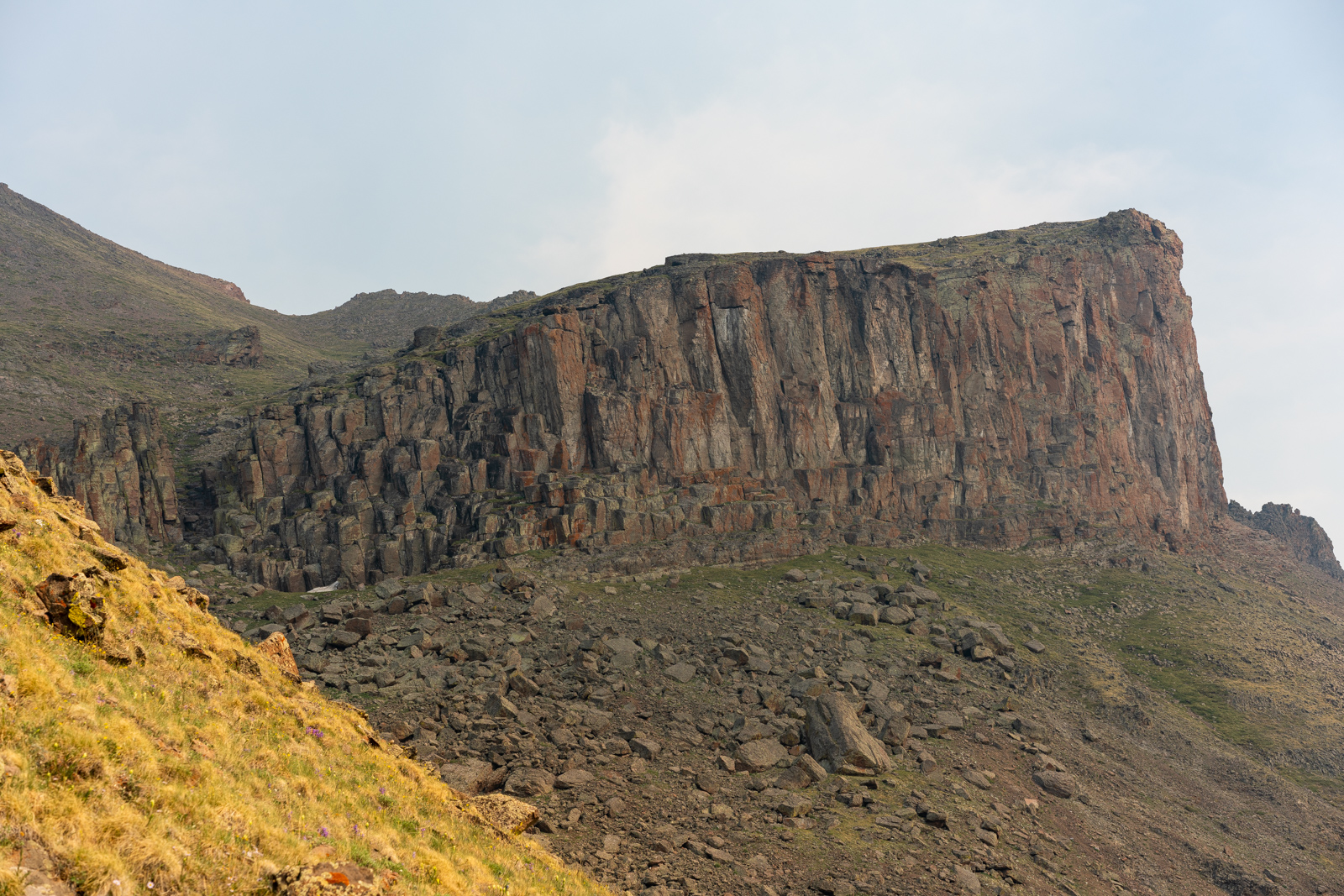
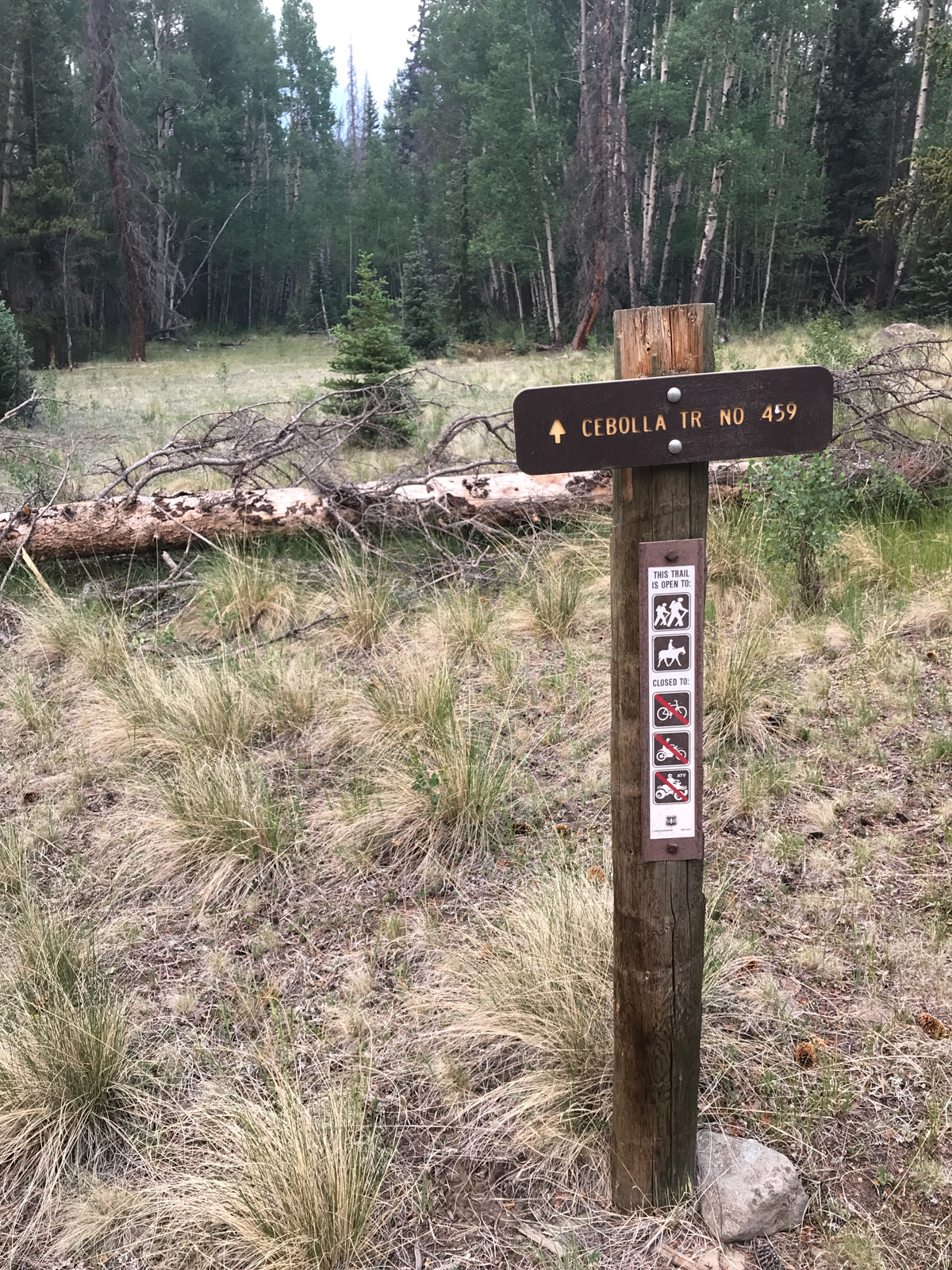
I finally reached the summit of Baldy Chato and climbed down to the trail intersection for the Cebolla Trail. I believe that Cebolla means Onion in Spanish and I had always wondered why the trail was called this. As I ventured down the very steep Cebolla Trail, I began to see the resemblance of an onion in the rock outcroppings below Baldy Chato. Or I was really tired. Either way, I found the rocks to be really awesome to look at and they kept my brain going for a good long time on the steep descent of the Cebolla Trail towards Bondholder Meadows.
I decided to stop and get a nice vertical panorama of the rock feature, which impressed the heck out of me.
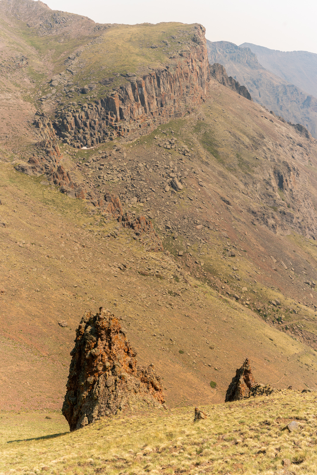
It kept my gaze for a very long time...
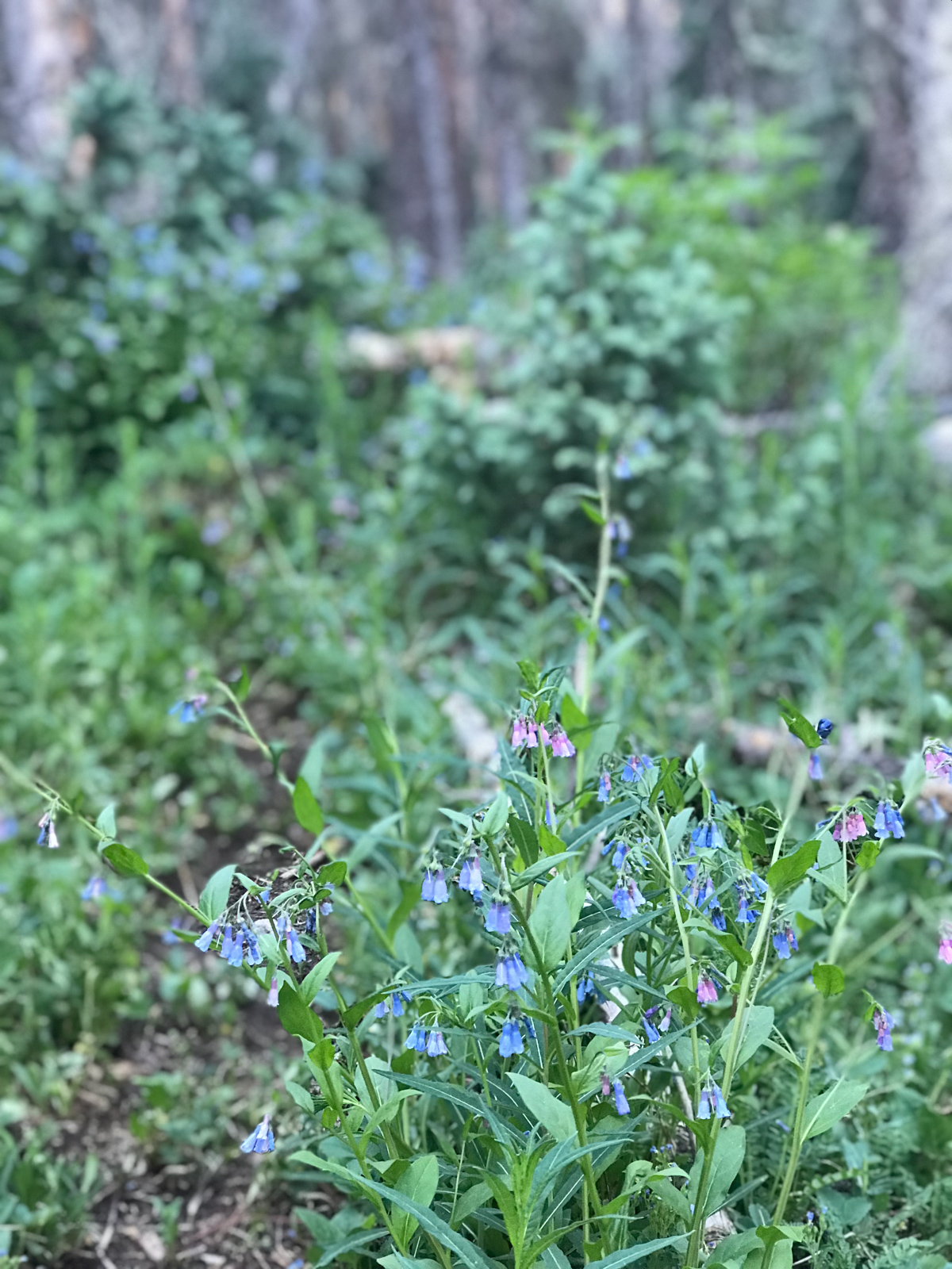
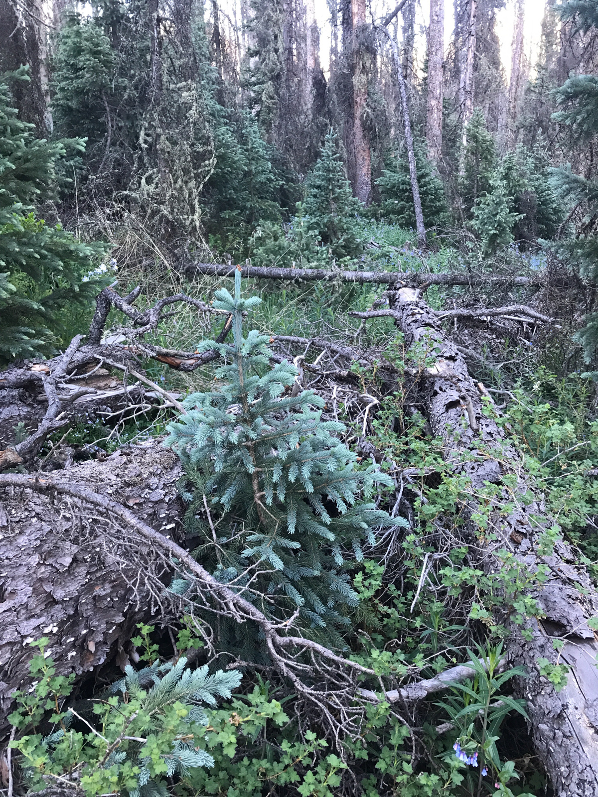
I finally reached tree-line (holy cow, I was above tree-line for almost 20 hours) and found myself on the worst kind of trail imaginable - one that barely exists. I had to pull my phone out to look at Gaia GPS almost every few seconds because I kept losing the trail, almost all the way down to Bolnholder Meadows. It was really dense vegetation and difficult to find ways through. There was significant downfall (fallen trees) and it appeared that the only people that had used the trail in recent memory were sheepherders. At one point I found myself staring at a huge patch of grass that had been laid in the night before and my mind could only conjure a black bear lying there. That's the nature of hiking alone - your mind goes crazy. Fortunately, the patches of Columbine I found were world class and some of the largest I had ever seen.
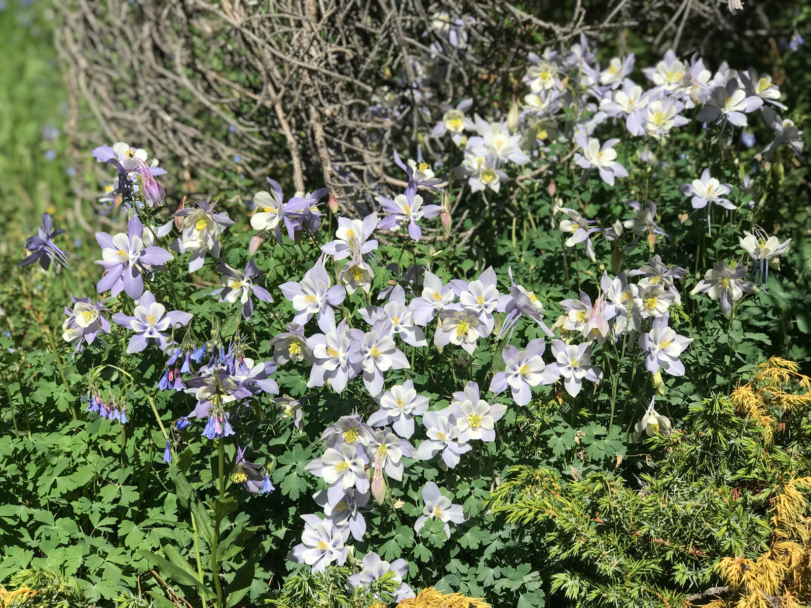
I can't say I'd ever seen such a large patch of Columbine before.
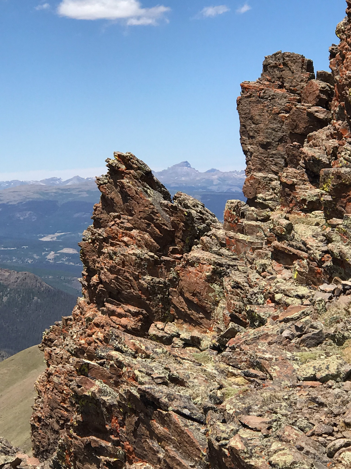
There were huge rock spires in several directions, making for a very unique experience.
The later it became, the more smoke filled the air. I was not looking forward to sleeping in this haze.
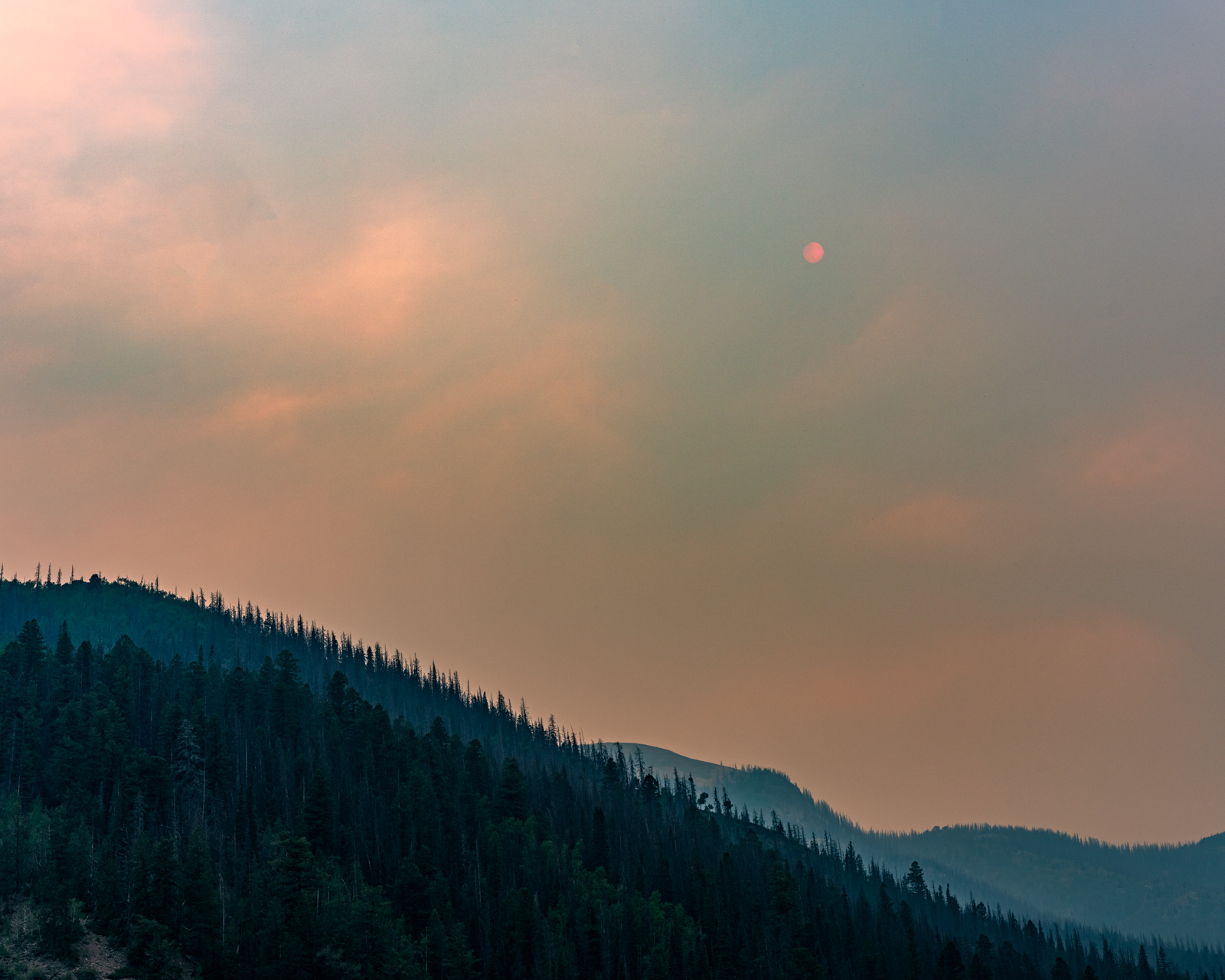
At one point, the smoke was so think that it obscured the sun, coloring it red.
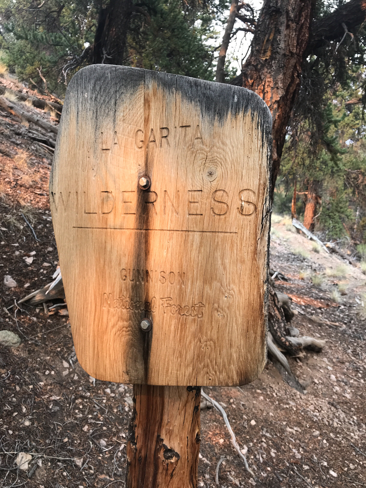
As I said before, the trail was really difficult to follow for almost the whole way down to Bondholder Meadows. I did find a Wilderness boundary sign which told me I was on the right track. Also, thank god for Gaia GPS.
I finally found the intersection of the Cebolla Trail and the Bondholder Trail at about 6 PM and was feeling exhausted. At least I knew the terrain for the rest of the day would be flat.
In doing my research about this area, I was not sure what I would find in Boldholder Meadows. It looked like there was ample water and a lot of flat area for camping. When I arrived, the whole area opened up to show that it was filled with cattle grazing on private property behind a gated fence. I knew that forest service access was on the other end of the valley, so I knew that I was not really trespassing as they are required to provide access to the trail... or at least that's what I told myself. If you own that property and I was trespassing, I'm sorry, I had no idea and I absolutely had to make it to the Cascade Creek trail at the end of the valley to make it back up to San Luis Pass.
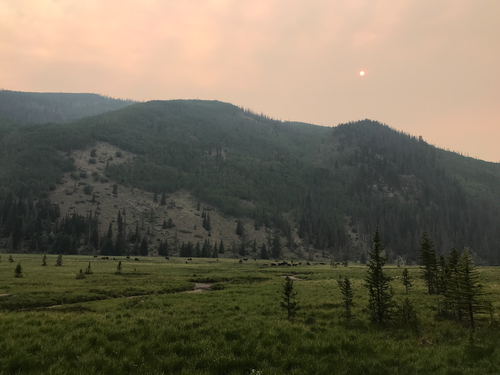
The below cell phone shot shows that there were some structures in the valley in addition to the cattle (and haze).
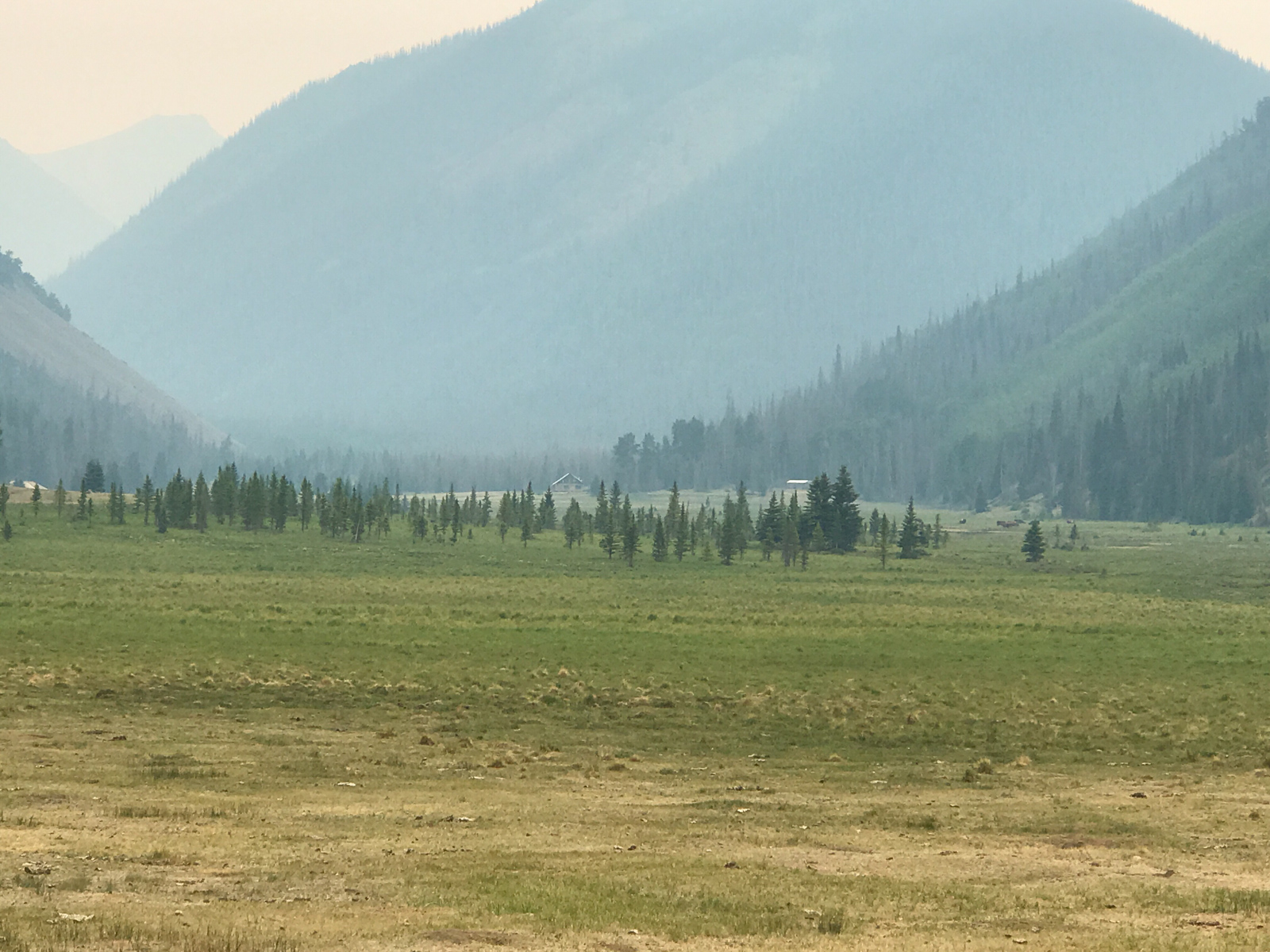
I found a very small cabin at the very end of the valley next to the river, a gated fence, and a trail register. I decided this area would be perfect to set-up camp even though I was on someone's property. Going up Cascade Creek this late was not advisable since I knew by looking on the Gaia GPS map that the terrain was steep and did not look to have any good campsites for several miles. I looked at the trail register and there was only one entry from the previous two years - 56 soldiers from the 110th Mountain Division doing mountain training. Awesome. I set-up camp in the valley away from any trails at 7 PM and enjoyed my dinner - a dehydrated Mountain House meal. I went to bed at 8:30 PM. I was promptly woken up at 1 AM by several howling coyotes that seemed to be within 100 yards or so of me. Paranoid and alone, I got out of my tent and looked around for the beasts with my headlamp, hoping to scare them away. I could not fall asleep for a long time, my imagination running wild. I woke up at 6 AM, ate some pop tarts, packed up, and began my ascent up the Cascade Creek Trail towards San Luis Pass, about 4 miles away. The trail I found myself on was pretty good at first, but as it gained elevation, it became really difficult to navigate and I found myself once again consulting Gaia GPS frequently to re-find the trail in the thick overgrown forest and huge stands of beautful wildflowers.
I even took some video of my experience on this "trail."
The photo above showcases the "trail" and the photo below showcases an example of the amazing wildflowers I found myself hiking through. What a place! It was so wild, remote, and secluded.
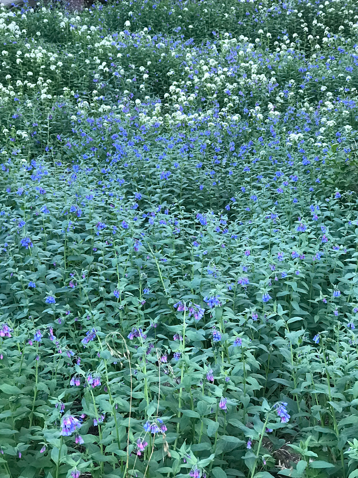
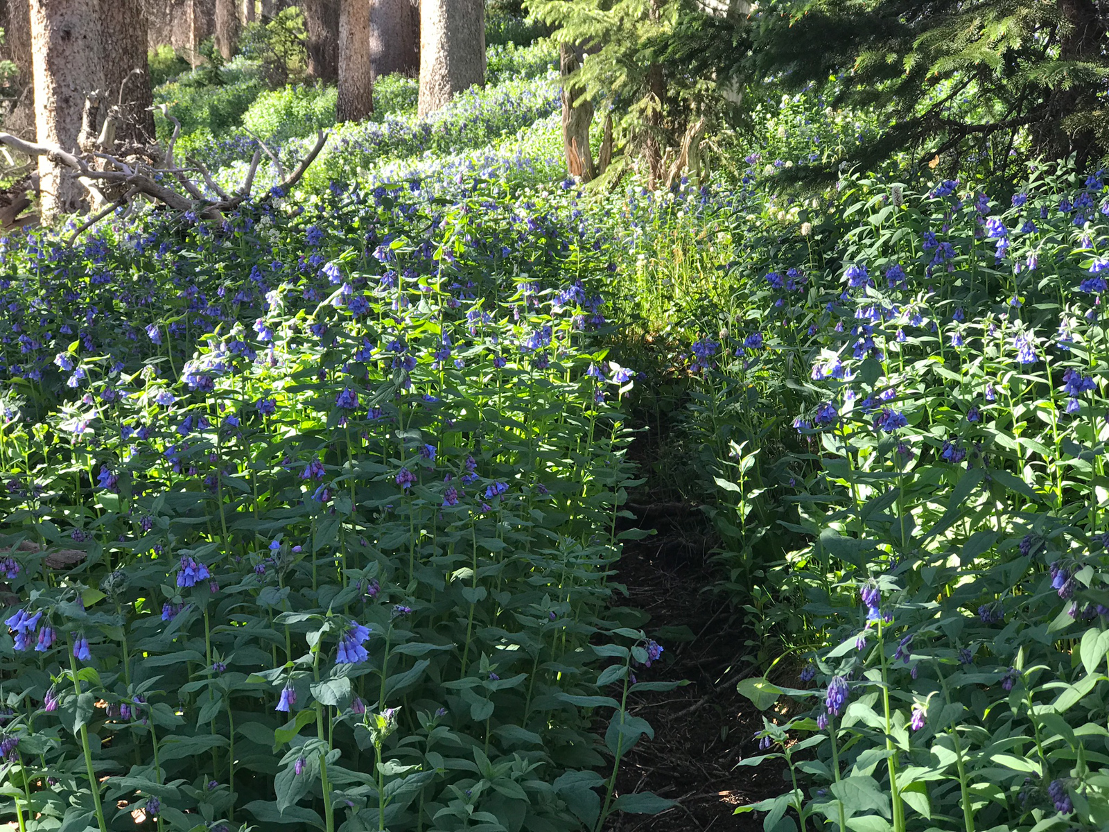
The trail weaved through huge patches of various wildflowers and kept me quite entertained throughout the morning.
I reached the half-way point for the day and found myself in a huge open area with willows, water, and lots of opportunity for camping. Noted. As I continued up the trail, I made out some movement in my vision to my left across the small creek. I looked and found myself gazing at a porcupine. I kept my distance and kept moving. He ignored me and grazed on wildflowers as he slowly bumbled up the creek.
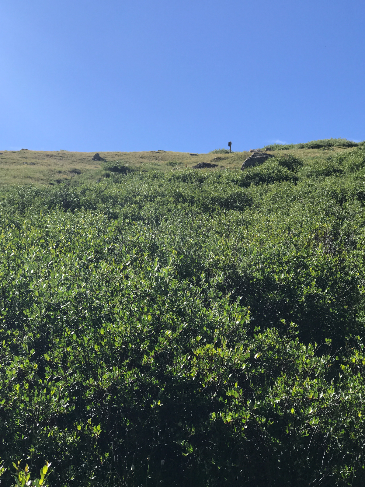
At last, I could make out the Wilderness sign above at San Luis Pass. I was almost there!
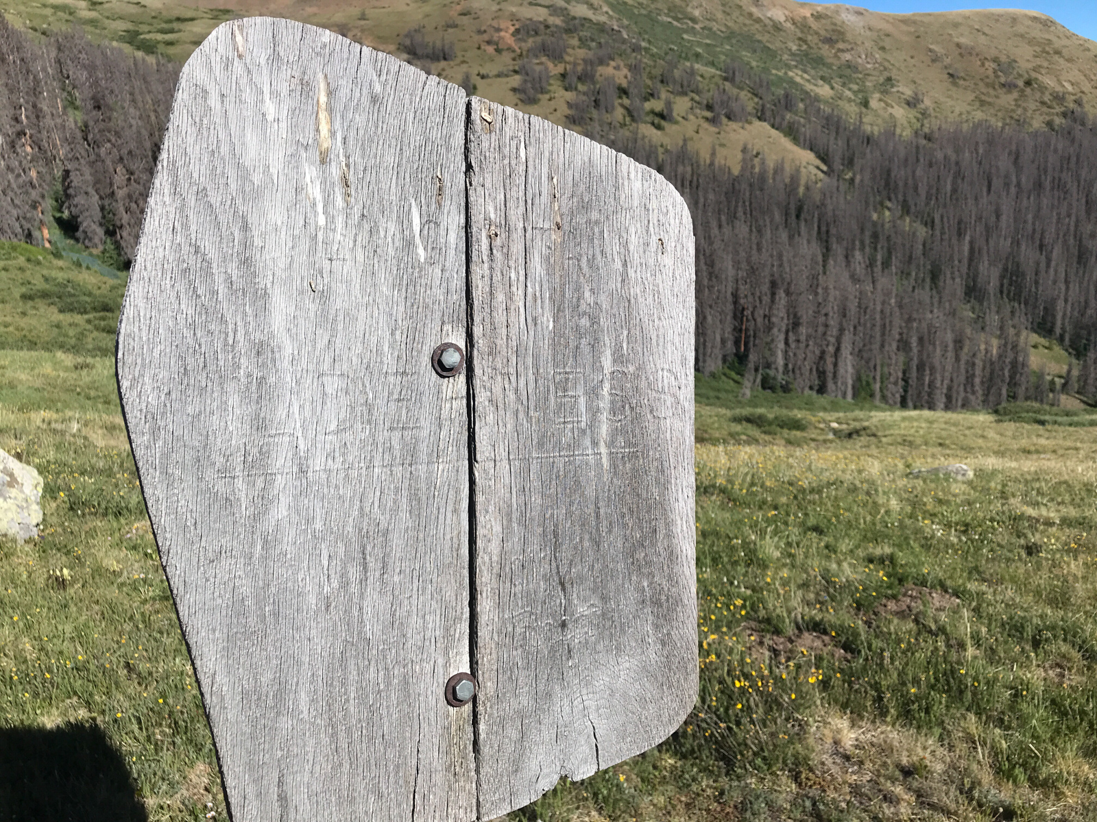
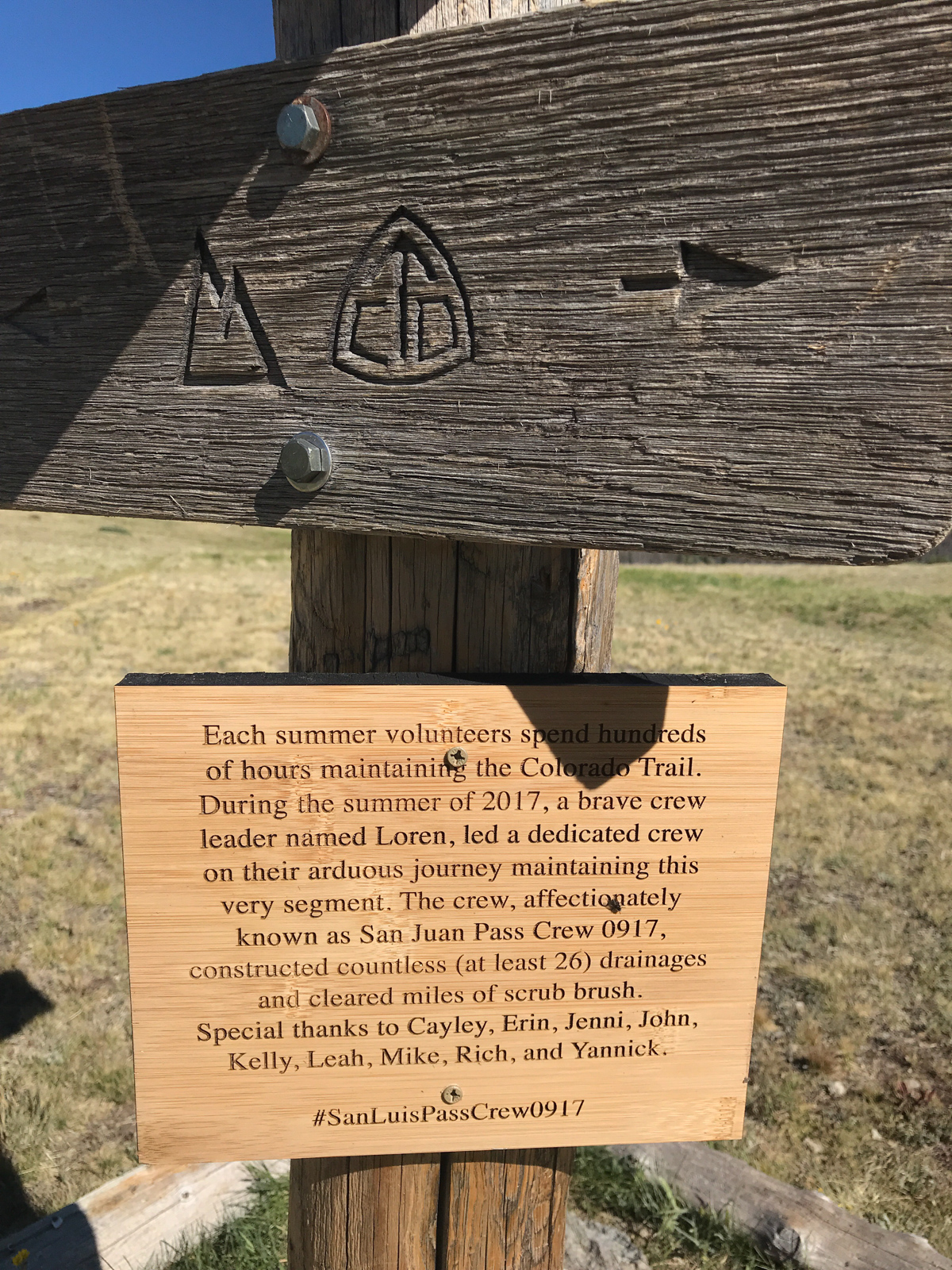
I made it to San Luis Pass at 9 AM and enjoyed the sign there, commemorating the work of the trail crew from the year prior. Nice work!
The rest of the hike down to the 4WD parking lot was uneventful and I was pleased to find my vehicle in one peice. What a trip!